Parking
From the Great Ocean Road, turn at the Moonlight Head sign about 34 km east of Port Campbell, then follow 4.5 km of unsealed road to Wreck Beach Car Park.
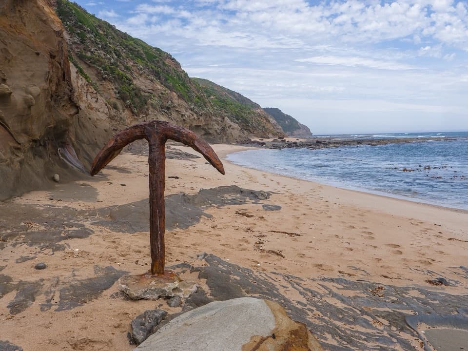
Great Ocean Road, VIC
A low-tide walk to two shipwreck anchors beneath rugged cliffs.
Overview
Map & elevation
Plan your hike

The highest, rockiest slopes around here are a summer buffet for grizzly bears.
Great Ocean Road Tour Guide
Parkwolf is a GPS audio tour guide for Great Ocean Road. As you drive, it chimes in with what’s ahead: hidden gems, upcoming stops, history, geology, and wildlife, right through your car’s speakers.
See the Great Ocean Road audio tourRecorded for this trailhead
Moonlight Head: The Gables and Wreck Beach“You're approaching the Moonlight Head turnoff for The Gables and Wreck Beach.”
Plays as you drive up to this trailhead in the Parkwolf Great Ocean Road Tour Guide.
More stories near here in the app
“Fantastic app with many points of information… It’s great to just turn on while you’re driving and it gives you an audio tour of the national Park. We love it!!!!”


Trail guide
Wreck Beach Walk is an out-and-back from Wreck Beach Car Park to the Marie Gabrielle and Fiji anchors. The mapped corridor is about 2.4 km return, while visitor itineraries round it to 2 km; allow roughly 90 minutes. More than 350 steep steps bring you down from the car park, followed by a walk over sand and rock ledges, then the same climb back. Turn right when you reach the beach and continue west toward the anchors. The grade is difficult for the distance, so leave time and energy for the stairs on the way out as well as the return.
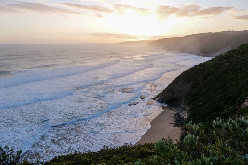
This is a cliff-locked coast below the high-water mark. Parks Victoria advises walking this section only at low tide. Large swell or water returning up the beach can cover the rock shelves, cut off the anchors or reach the stair foot; conditions may not be obvious from the car park. Check Port Campbell tide times and sea conditions before descending, and make sure you can return to the steps before access is cut off. The exposed Southern Ocean and submerged reefs make this an unsuitable swimming beach.
The staircase is the main effort. Published counts vary, but expect more than 350 steps on a steep descent and an equally demanding climb back. The route drops from roughly 85 m at the car park to near sea level at the Fiji anchor. Beyond the steps, there is no marked beach tread: you walk over sand and rock ledges, and the safe line changes with the tide. The route shown here is a representative corridor to the anchor, not a fixed path across the shore. At low water, exposed ledges and pools add detail to the walk, but do not round a wet rock point or push on if waves are washing over it. If steep stairs are a problem, this is not an easy way to reach the water.
The Marie Gabrielle was lost on 25 November 1869. Her French crew reached shore, and the wreck's anchor remains visible at low tide. The Fiji was wrecked at Moonlight Head on 6 September 1891; ten lives were lost and 16 crew made it ashore. A local diver embedded the Fiji anchor in the reef in 1961, leaving it as a striking marker among the beach's rock ledges. The two anchors are reminders of how hazardous this stretch of coast was for sailing ships, not just landmarks at the end of a walk.
The rusted Fiji anchor stands against a steep, layered cliff, with the open ocean and rock shelf beside it. At a safe low-tide viewpoint, include some of the cliff and water in the frame so the anchor has a sense of scale. The rock pools and ledges are part of the setting, but getting closer is never worth stepping onto a wet or wave-washed shelf.
From the Great Ocean Road, turn at the Moonlight Head sign, about 34 km east of Port Campbell, then follow roughly 4.5 km of unsealed road to Wreck Beach Car Park. Allow time for the gravel approach before the walk itself. Dogs are not permitted in Great Otway National Park; assistance dogs are allowed.
Wildlife
 900 sightingsKoalaMost seen around 5 PMSighting map
 358 sightingsKangarooMost seen around 6 PMSighting map
 49 sightingsLittle PenguinMost seen around 8 PMSighting map
 155 sightingsEchidnaMost seen around 6 PMSighting map
 33 sightingsFur SealMost seen around 6 PMSighting map
 59 sightingsRed-necked WallabyMost seen around 6 AMSighting map
Sighting maps show where each species has been reported across Great Ocean Road. Wildlife moves, so no sighting is guaranteed.
Keep exploring
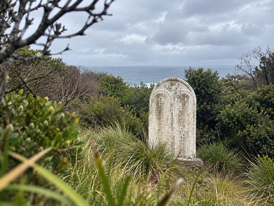 ModerateFiji Memorial Walk7 km · 2.5 hr · At the trailheadA coastal memorial walk with a powerful 1891 shipwreck story.
 EasyThe Gables Lookout Walk0.8 km · 30 min · 0.8 km awayA short sheoak walk opens onto Moonlight Head’s rugged coast.
 ChallengingRyans Den to Moonlight Head Walk5.5 km · 3 hr · 5.5 km awayA steep one-way coastal walk from Ryans Den to Moonlight Head
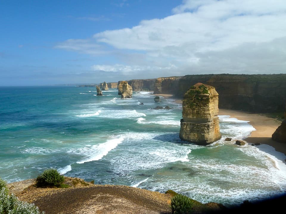 ModerateGreat Ocean Walk: Princetown to Twelve Apostles7.6 km · 2.5 hr · 8.2 km awayCross wetlands, climb sandy dunes, and finish at the Apostles.
 ChallengingMilanesia Gate to Moonlight Head Walk11.9 km · 5 hr · 9.5 km awayA rugged coast walk where the tide decides whether you can start.ModerateMilanesia Beach Walk4 km · 1.5 hr · 9.5 km awayA steep drop to a remote beach; a harder climb back.
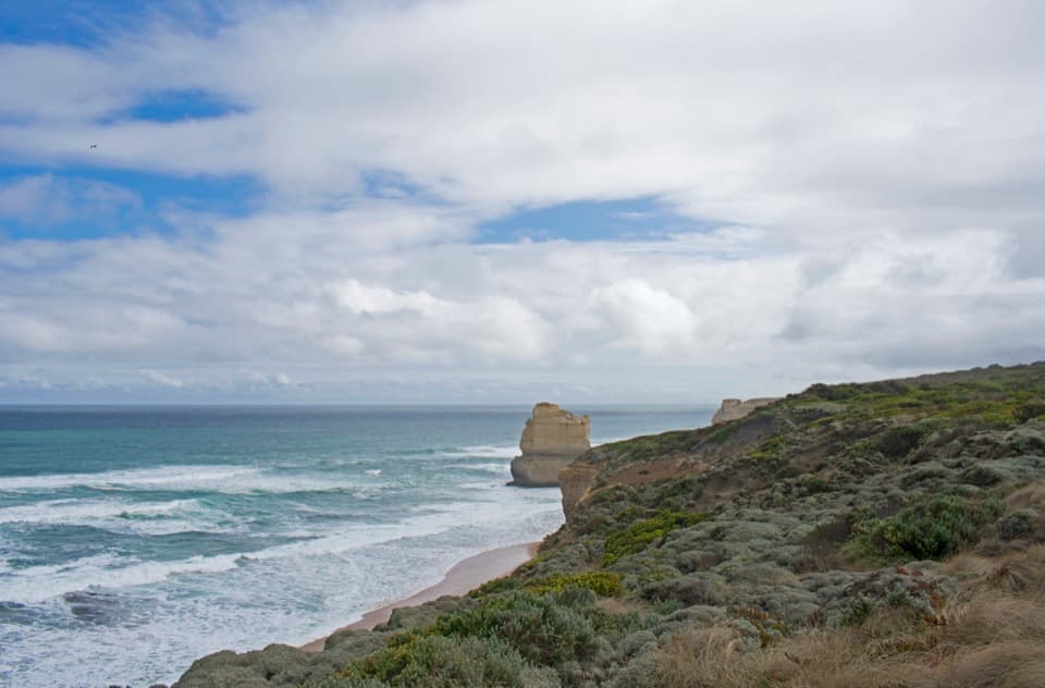 EasyTwelve Apostles to Gibson Steps Walk2.2 km · 1 hr · 13.9 km awayA short gravel out-and-back to Gibson Steps’ cliff-top view.
 ModerateMadsen’s Track Nature Walk1.4 km · 42 min · 14.8 km awayA shaded river loop through rainforest to Anne’s Cascades.Beach · At the trailheadWreck BeachTwo wreck anchors reward a steep climb to a wild beach.
 Sight · 0.8 km awayThe Gables LookoutA short forest walk ends above Moonlight Head’s reef-fringed coast.
 Campground · 7.7 km awayPrincetown Recreation ReserveA handy overnight camp beside the river mouth near the Twelve Apostles.
 Sight · 13 km awayGibson Steps86 steps put you face to face with Gog and Magog.
 Sight · 13.8 km awayThe Twelve ApostlesSeven limestone stacks, surf and cliffs from one coastal lookout.
 Beach · 14.3 km awayJohanna BeachA long, windswept beach with big surf and a tide-timed walk.
 Campground · 14.3 km awayJohanna Beach CampgroundA grassy coastal base a short walk from Johanna Beach.Sight · 14.8 km awayMelba Gully Day Visitor AreaA short rainforest loop; glow worms may show after dark.
Parkwolf’s Great Ocean Road ranking

The audio tour guide for the drive, plus offline maps, trails, and wildlife heatmaps for when the signal drops.





