Parking
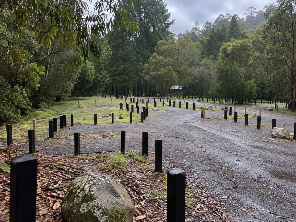
Start at the Beauchamp Falls Campground picnic-area car park, reached from Binns Road on an unsealed access road. Official visitor information says the road is suitable for 2WD vehicles.

#10 of 109 trails in Great Ocean Road
Great Ocean Road, VIC
A ferny descent to a 20-metre falls, with a steep climb back.
Overview
Map & elevation
Plan your hike

The highest, rockiest slopes around here are a summer buffet for grizzly bears.
Great Ocean Road Tour Guide
Parkwolf is a GPS audio tour guide for Great Ocean Road. As you drive, it chimes in with what’s ahead: hidden gems, upcoming stops, history, geology, and wildlife, right through your car’s speakers.
See the Great Ocean Road audio tourRecorded for this trailhead
Beauchamp Falls“You're approaching the Beauchamp Falls trailhead, a good choice if you want a forest walk with your waterfall stop.”
Plays as you drive up to this trailhead in the Parkwolf Great Ocean Road Tour Guide.
More stories near here in the app
“Fantastic app with many points of information… It’s great to just turn on while you’re driving and it gives you an audio tour of the national Park. We love it!!!!”


Trail guide
Beauchamp Falls Walk is a 3 km (1.9 mi) return hike from Beauchamp Falls Campground’s picnic area to a 20 m waterfall, then back the same way. The trail runs from the campground down through Otway forest to the viewing platform. Allow about 1 to 1.5 hours if you stop at the falls. It’s a good pick when you want a proper forest walk with a clear payoff; the short distance can fool you, because the climb back is steep.
You descend first, so the first half feels easier than the walk out. The path starts wide and shady, then steepens; steps take you down toward the falls. On the return, you regain the height you lost on the way in, with a particularly steep set of stairs near the bottom. Take your time, especially if the track has been wet. This is a short hike, not a level campground stroll.
The forest changes along the way. The route starts through softwood plantation, follows a river, then enters stands of mountain ash, large myrtle beech, blackwood and thick ferns. A fern boardwalk and creek-side stretch break up the descent. Give yourself time to notice the shift from the more open plantation to the lush fern understory: this walk is more than a quick dash to the waterfall.
The payoff is a 20 m drop into a rocky creek, viewed from a platform reached by stairs. The platform is the official end of the walk. There’s no formed route to the base, and the rocks below can be slippery, so keep your visit to the platform rather than scrambling down. From there, frame the falls with the mossy rock and fern canopy; you can linger before starting the climb back.
The walk starts at the campground picnic area, reached from Binns Road by an unsealed access road. The official visitor information says 2WD vehicles can reach the site. There are toilets, a picnic shelter, tables and fire pits at the campground and picnic area, not along the trail; no potable water is provided, so bring drinking water. No food service is listed at the trailhead or on the route, so arrive with what you need.
Dogs are allowed on lead. No fee or booking is required. After rain, expect the steps and creekside rocks to be slippery, so take care on the descent and the return climb. No fee or booking is required, and the parking area is shared with campground users.
Wildlife
 900 sightingsKoalaMost seen around 5 PMSighting map
 358 sightingsKangarooMost seen around 6 PMSighting map
 49 sightingsLittle PenguinMost seen around 8 PMSighting map
 155 sightingsEchidnaMost seen around 6 PMSighting map
 33 sightingsFur SealMost seen around 6 PMSighting map
 59 sightingsRed-necked WallabyMost seen around 6 AMSighting map
Sighting maps show where each species has been reported across Great Ocean Road. Wildlife moves, so no sighting is guaranteed.
Keep exploring
 ModerateHopetoun Falls Walk0.8 km · 36 min · 3.8 km awayA short descent through tree ferns reaches a 30-metre waterfall.
 ModerateLittle Aire Falls Walk2.5 km · 2.5 hr · 8.8 km awayA fern-lined climb to an elevated waterfall platform.
 ModerateOtway Fly Treetop Walk2.4 km · 1 hr · 8.9 km awayA gently swaying steel walkway climbs into the rainforest canopy.
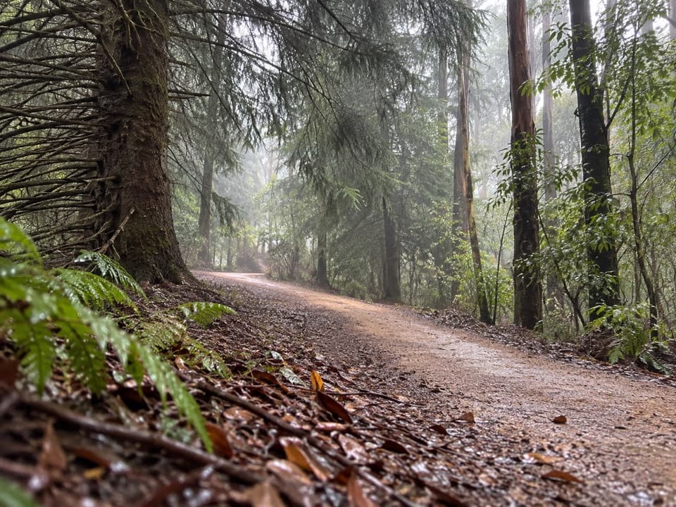 EasyBlue Spruce Walk0.3 km · 9 min · 9.9 km awayA short gravel leg beside the Gellibrand River
 ModerateTriplet Falls Walk2 km · 1 hr · 9.9 km awayThree cascades, old sawmill relics and a stair-heavy rainforest loop.
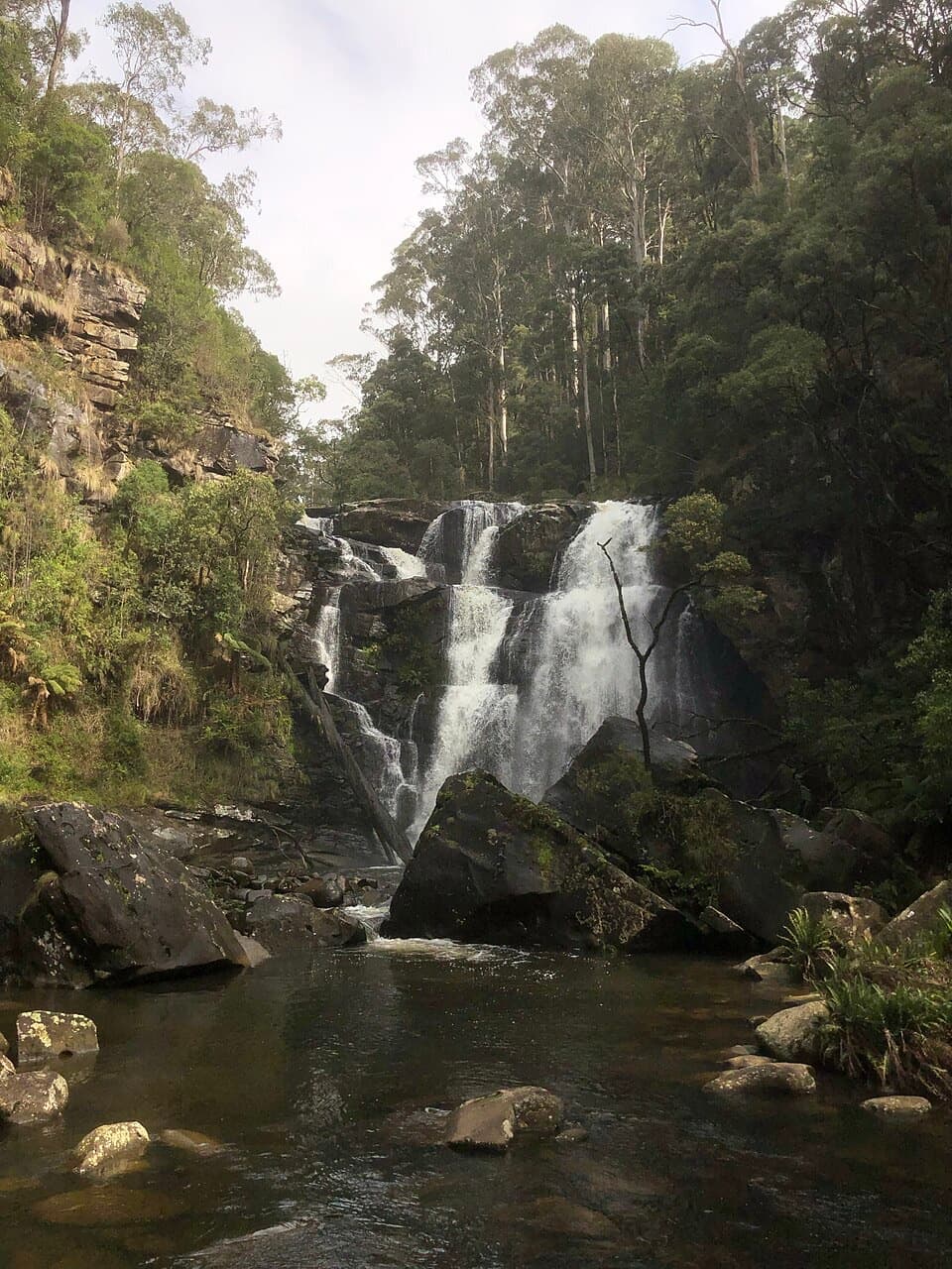 EasyStevensons Falls Walk1 km · 20 min · 9.9 km awayA 1 km easy walk through redwoods to a tiered Otways waterfall
 ModerateMarriners Lookout Walk1 km · 30 min · 10.8 km awayA short, steep climb for Apollo Bay's wide coastal view.
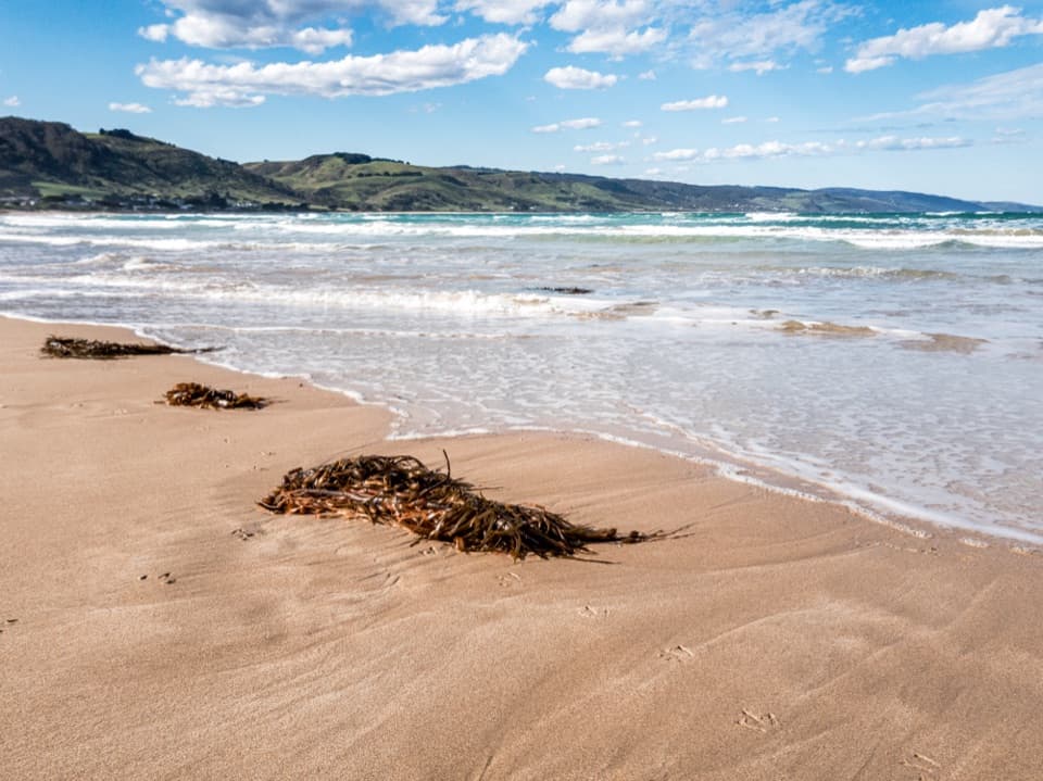 EasyApollo Bay Foreshore Walk5.5 km · 1 hr · 11.5 km awayA coastal footpath threads past Apollo Bay’s foreshore sculptures.Sight · 0.5 km awayBeauchamp FallsA bright, fern-framed cascade reached by a forest walk
 Sight · 3 km awayThe RedwoodsA tall, quiet redwood grove beside the Aire River.
 Sight · 3.8 km awayHopetoun FallsTree ferns frame a waterfall; the lower view takes 200 stairs.
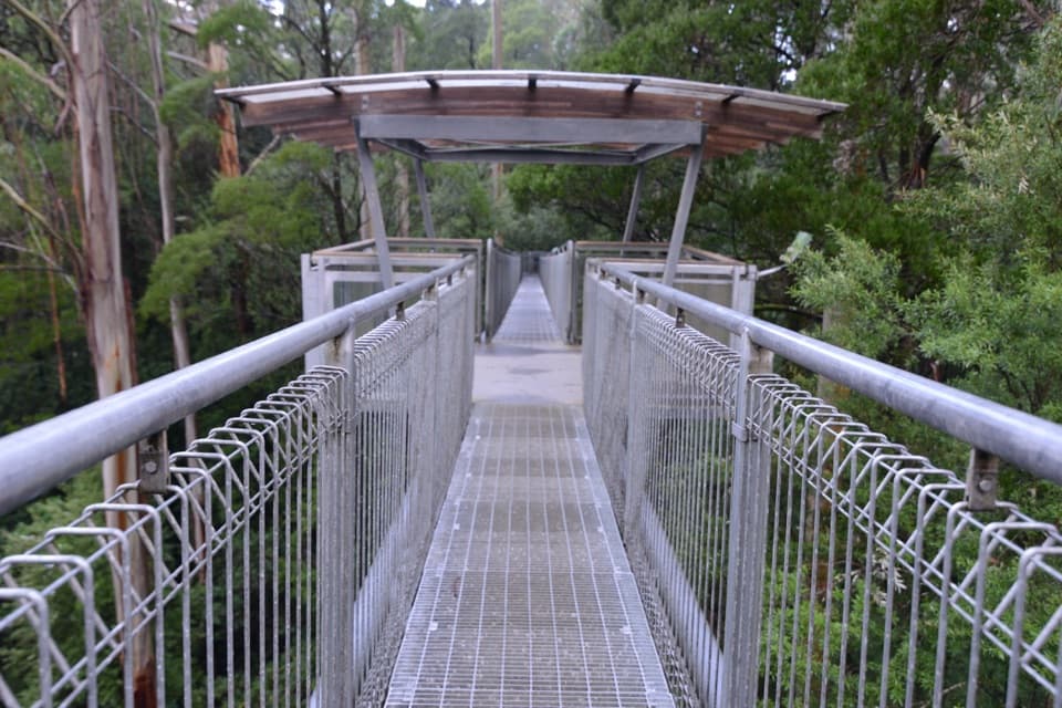 Sight · 8.9 km awayOtway Fly Treetop AdventuresWalk above the canopy, then climb the Spiral Tower.Sight · 9.5 km awayStevensons FallsWalk through 1980s redwoods to a waterfall on the Gellibrand.Sight · 9.9 km awayTriplet FallsRainforest boardwalks and three cascades at a former mill site.
 Campground · 10.6 km awayStevensons Falls CampgroundCamp beneath redwoods, with the river and falls within easy reach.Sight · 10.9 km awayMarriners LookoutApollo Bay’s curve of coast is worth the short climb.
Parkwolf’s Great Ocean Road ranking

The audio tour guide for the drive, plus offline maps, trails, and wildlife heatmaps for when the signal drops.



