Parking
Park on Gum Flat Road at Haggarts Track; leave a second car on Gum Flat Road near the start of Allardyce Track. The route is one way, so arrange a shuttle.
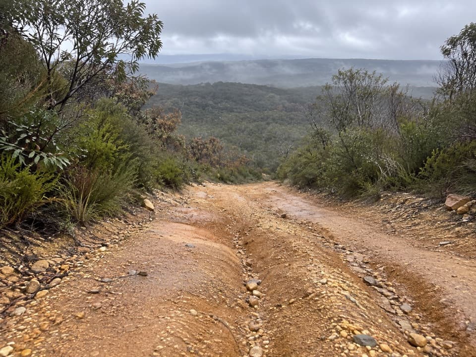
Great Ocean Road, VIC
Heathy woodland opens to ocean views and seasonal wildflowers.
Overview
Haggarts–Allardyce is a moderate, 7 km (4.35 mi) one-way walk through Anglesea Heath, from Gum Flat Road at Haggarts Track to Gum Flat Road near Allardyce Track. Allow 2–3 hours. You’ll move between heathy woodland and open heath, with wide views toward Anglesea and the ocean; the route is especially appealing when wildflowers are out. It is a point-to-point walk, so leave a second car near the Allardyce end and drive to the Haggarts start. Walking back to your first car would make it about 14 km.
Map & elevation
Plan your hike

The highest, rockiest slopes around here are a summer buffet for grizzly bears.
Great Ocean Road Tour Guide
Parkwolf is a GPS audio tour guide for Great Ocean Road. As you drive, it chimes in with what’s ahead: hidden gems, upcoming stops, history, geology, and wildlife, right through your car’s speakers.
See the Great Ocean Road audio tourMore stories near here in the app
“Fantastic app with many points of information… It’s great to just turn on while you’re driving and it gives you an audio tour of the national Park. We love it!!!!”


Trail guide
The route starts among brown stringybark, shining peppermint and scent-bark, with grass-trees, ferns, silver banksia and low flowering plants beneath them. As the trees thin, the heath opens to broad views over Anglesea and the coast. Shining peppermint becomes more common here, with sweet wattle in the understorey. A damper pocket of dense manuka and prickly teatree follows, close to swampy ground in the Anglesea River system.
After the heath, the route descends, climbs through woodland, then descends again before joining Allardyce Track. The last stretch passes paperbark and tall eucalypts, with wattles, pomaderris and daisy-bush below them. The broad heathland opening is the clearest place to pause for the view. Parts of Allardyce are badly eroded and the track is seasonally open to vehicles, so expect rough footing and watch for traffic.
Park on Gum Flat Road at Haggarts Track, then leave a second vehicle on Gum Flat Road near the start of Allardyce Track. Follow the route from Haggarts toward Allardyce; it is not a loop. Dogs are not allowed in Great Otway National Park. This is a longer outing than the short vehicle-track names might suggest, and its shuttle and uneven Allardyce finish are part of the commitment.
Wildlife
 900 sightingsKoalaMost seen around 5 PMSighting map
 358 sightingsKangarooMost seen around 6 PMSighting map
 49 sightingsLittle PenguinMost seen around 8 PMSighting map
 155 sightingsEchidnaMost seen around 6 PMSighting map
 33 sightingsFur SealMost seen around 6 PMSighting map
 59 sightingsRed-necked WallabyMost seen around 6 AMSighting map
Sighting maps show where each species has been reported across Great Ocean Road. Wildlife moves, so no sighting is guaranteed.
Keep exploring
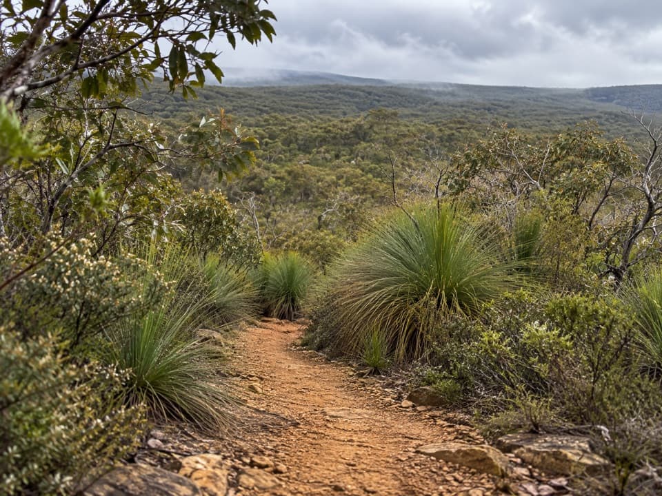 ModerateYan Wirring Mirr Loop4.5 km · 2.3 hr · 4 km awayA 4.5 km heath loop with coast, creek and wildflowers.
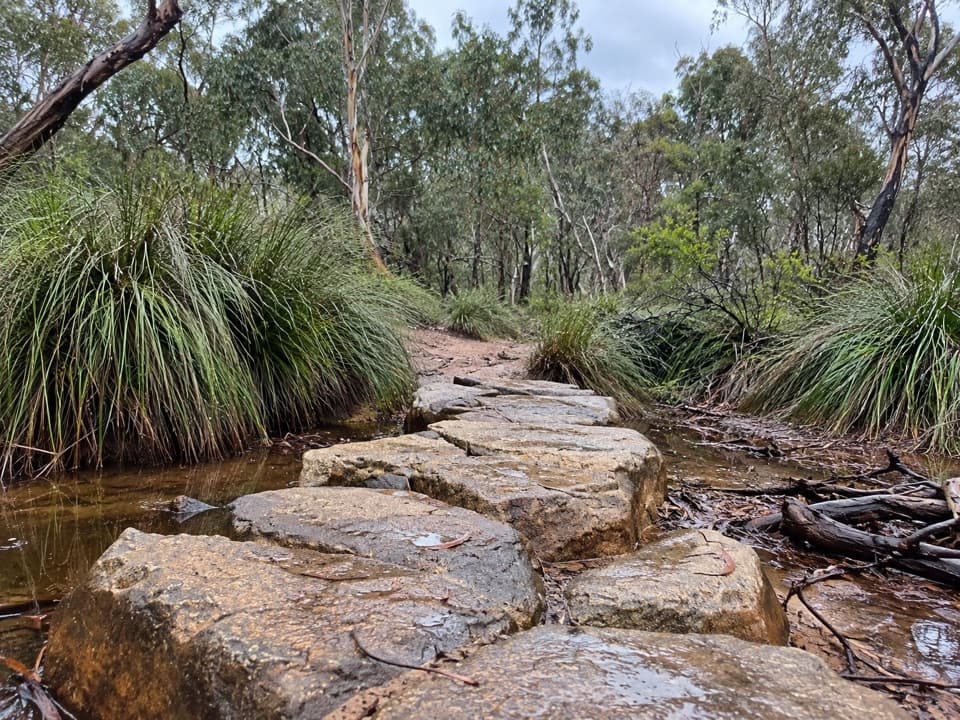 ModerateHarrison Track North7 km · 2.8 hr · 4.4 km awayFollow a sandy valley track to stepping stones and seasonal flowers.
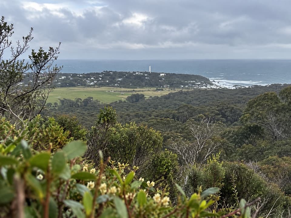 ModerateLoves Track6 km · 2 hr · 7.7 km awayStringybark forest leads to a sweeping Split Point panorama.
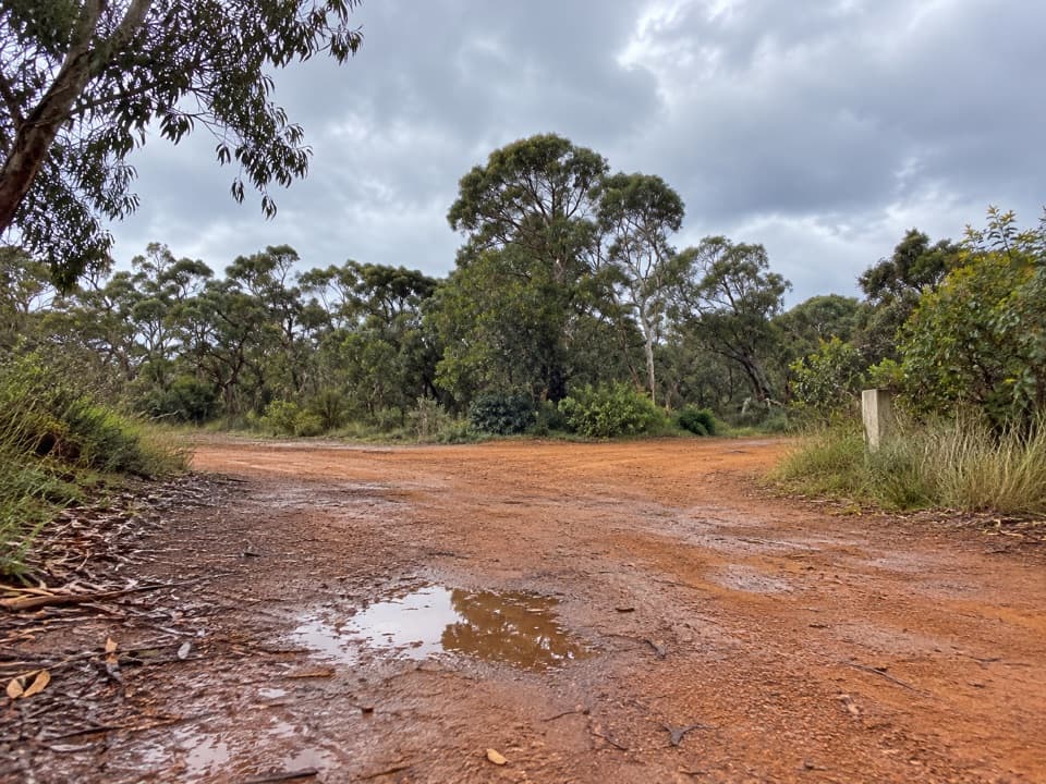 ModerateShiney Eye Circuit7.9 km · 3.5 hr · 8 km awayWildflowers, open heath and views over Anglesea.
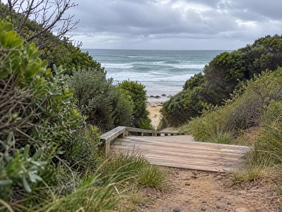 ModerateUrquhart Bluff to Sunnymead Walk3 km · 45 min · 8.4 km awayA short, rough coastal leg to Sunnymead’s secluded cove
 ModerateUrquhart Circuit4.5 km · 1.5 hr · 8.4 km awayRock pools and a low-tide scramble on the coast.
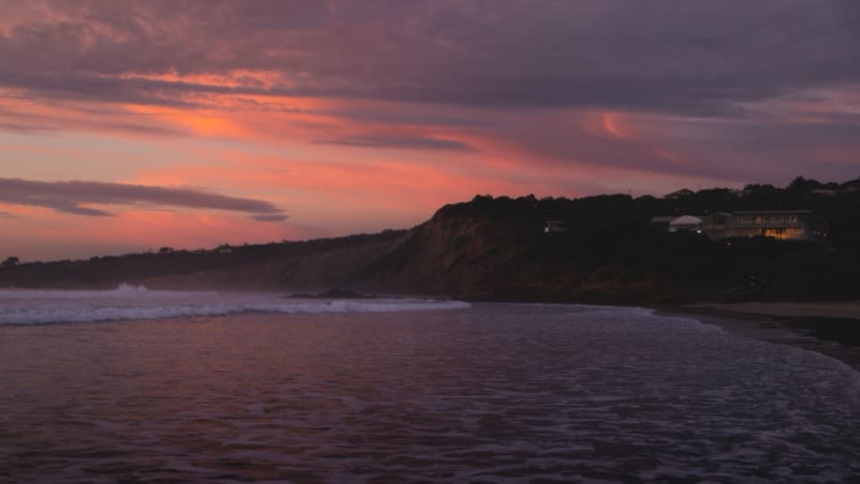 ModerateAnglesea Perimeter Walk22 km · 6.5 hr · 8.6 km awayA full loop from river boardwalks to heathland and clifftop views.
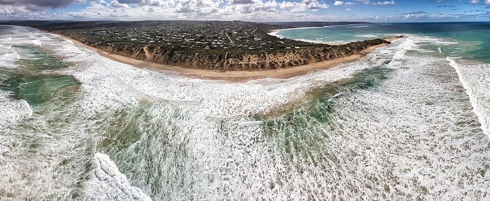 EasyPoint Roadknight Walk2.7 km · 40 min · 8.6 km awayBlufftop views reward an easy walk to Point Roadknight Beach.
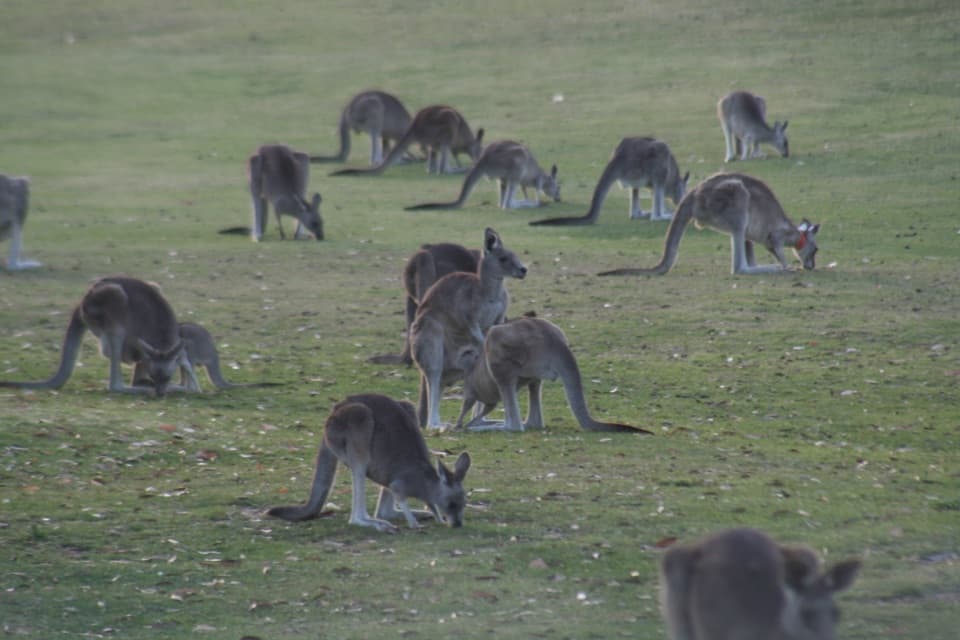 Sight · 7.2 km awayAnglesea Golf Club Kangaroo ToursA guided ride past Anglesea Golf Club’s resident kangaroos.
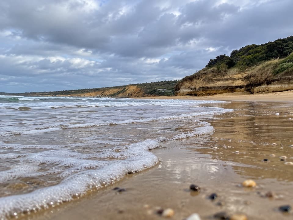 Beach · 9 km awayAnglesea Main BeachSand, surf, and the river meeting at Anglesea’s main beach.
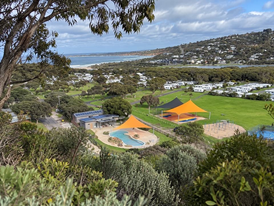 Campground · 9 km awayAnglesea Family Caravan ParkCamp beside Anglesea River, with beach and town a short walk away.
 Picnic area · 9.2 km awayDistillery Creek Picnic AreaShady tables and an easy forest loop off the Great Ocean Road.
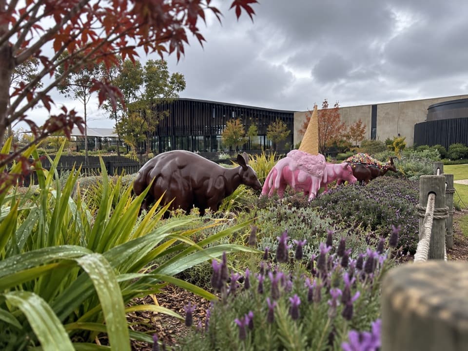 Sight · 9.3 km awayThe Chocolateries Great Ocean RoadA working chocolaterie for free samples, ice cream and lunch.Beach · 9.5 km awayPoint RoadknightA sheltered surf bay with low-tide rock pools.
 Restaurant · 11 km awayA La GrecqueGreek seafood, a big veranda, and a fireplace for cooler days.
 Picnic area · 11.5 km awayMoggs Creek Picnic AreaPicnic in eucalypt forest, then walk out to a coastal lookout.
Parkwolf’s Great Ocean Road ranking

The audio tour guide for the drive, plus offline maps, trails, and wildlife heatmaps for when the signal drops.





