Cora Lynn Cascades in Great Otway National Park

Sight · Great Otway National Park

Cora Lynn Cascades

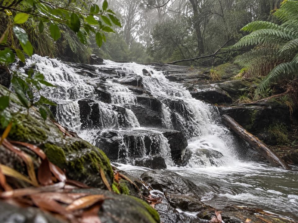
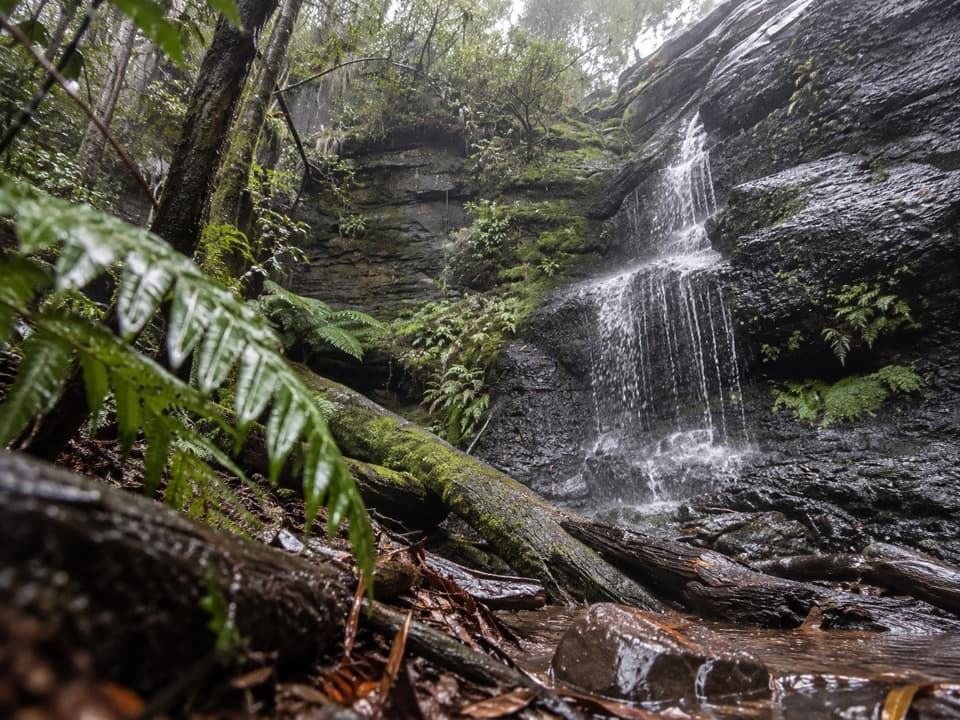
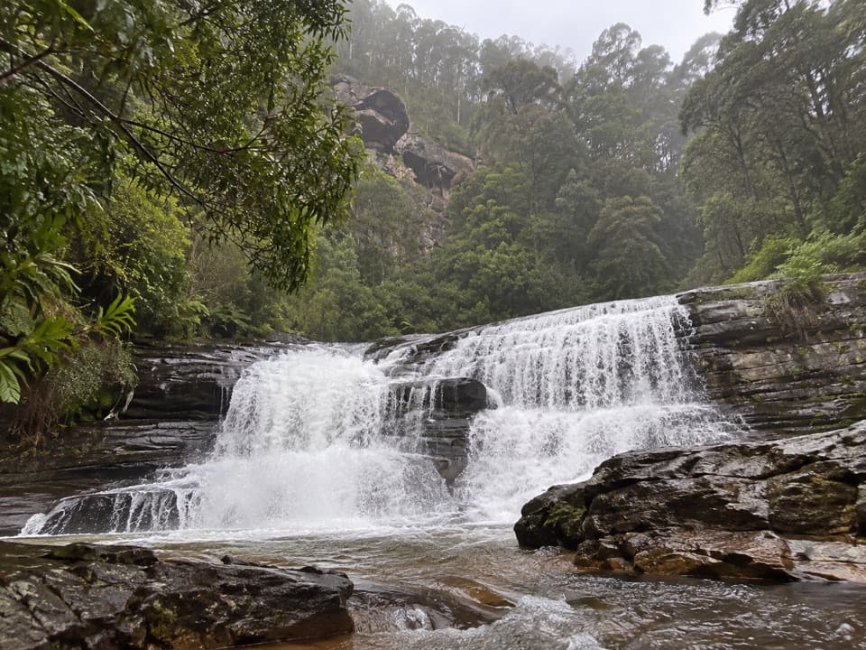
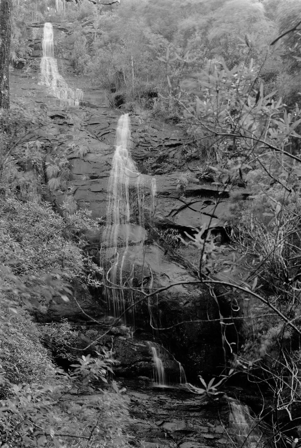
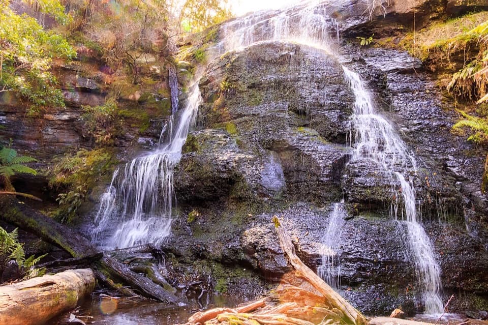
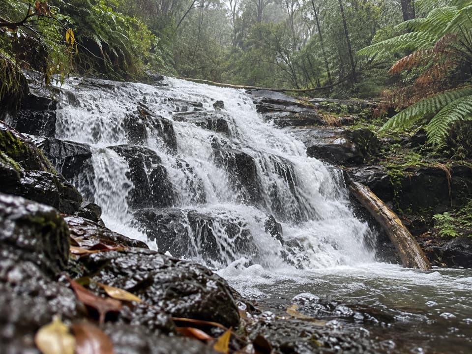
A ferny forest walk to cascades spread across dark shale.

Type
Sight
Nearest trail
0.6 km
Audio stories
4 nearby
  • Trailhead
  • Parking
  • Restrooms
  • Picnic tables

Hear the audio tour

Blanket Leaf: Lunch or Cora Lynn Cascades

Overview

About Cora Lynn Cascades

Why stop

  • Tiered shale cascades framed by tree ferns and moss.

Heads up

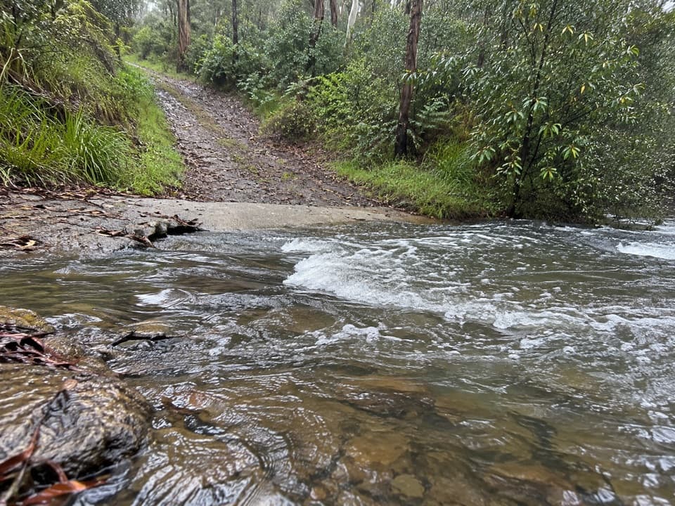
  • A hilly two-hour outing with muddy creekside sections after rain.

Map

Where it is

Loading the Great Otway map
Full map
SightCora Lynn Cascades-38.52080, 143.92494
Keep this map with you offline in the Parkwolf app

Plan your stop

Before you go

Facilities at the start

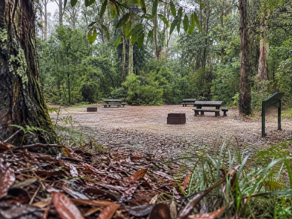
Blanket Leaf is a picnic area with a car park, long-drop toilets, tables, a small shelter, an information board and wood-fired barbecues; bring your own firewood if you use one. The park's visitor map notes accessible picnic tables. These facilities are at the walk's starting point, not beside the cascades.

3 active Great Otway alerts

  • ClosureWye Road closed after storm and flood damageWye Road is closed until further notice because recent storm and flood damage requires road maintenance and repair works; plan around the closure.Official details
  • ClosureLorne-area walking trails closed after flood damageSome walking trails near Lorne are closed for public safety after the January 2026 flash floods washed away or severely damaged bridges and walkways.Official details
See all 3 alerts
A park ranger sits on a dash-mounted phone, talking, as Parkwolf’s Tour Guide plays “Army Cutworm Moths: A Grizzly Bear Buffet” on Grand Loop Road below Dunraven Pass in Yellowstone
Parkwolf Tour GuideThe highest, rockiest slopes around here are a summer buffet for grizzly bears.

Great Otway Tour Guide

Your drive to Cora Lynn Cascades, narrated.

Parkwolf is a GPS audio tour guide for Great Otway National Park. As you drive, it chimes in with what’s ahead: hidden gems, upcoming stops, history, geology, and wildlife, right through your car’s speakers.

See the Great Otway audio tour

Recorded for this place

Blanket Leaf: Lunch or Cora Lynn Cascades
0:00 / 0:28
“Blanket Leaf Picnic Area is ahead on Erskine Falls Road, a shaded place to stop for your own lunch. There are picnic tables and a small shelter, so a brief break works without committing to a walk.”

Plays as you drive up to Cora Lynn Cascades in the Parkwolf Great Otway Tour Guide.

More stories near here in the app

  • The Bird Following Your Footsteps
  • Erskine Falls: Two Ways to See It
  • From an Otways Creek to the Coral Sea
  • Five Mile Track: A Forest Walk into Lorne
  • 252 audio storiesacross Great Otway’s roads, triggered by GPS as you drive
  • Wildlife heatmapsfor Koala, Grey Kangaroo, Echidna, and 13 more
  • Works offlinemaps, 83 trails, 79 places, and audio download before you lose signal
  • CarPlay readysimple controls built for the drive
★★★★★
“Fantastic app with many points of information… It’s great to just turn on while you’re driving and it gives you an audio tour of the national Park. We love it!!!!”
JMJamesApp Store review
Download Parkwolf on the App StoreGet Parkwolf on Google Play

4.7 from 8,600+ ratings

Guide

More about Cora Lynn Cascades

A forest walk to the fallsCora Lynn Cascades is a small group of falls on Cora Lynn Creek, reached from Blanket Leaf…

Cora Lynn Cascades is a small group of falls on Cora Lynn Creek, reached from Blanket Leaf Picnic Ground in Great Otway National Park near Lorne. Allow about two hours. Published route descriptions range from a 4.5 km return to a 5.5 km loop; either way, the walk drops to the creek and climbs back out. Go for the shaded forest walk as much as the waterfall itself. The creekside track can be muddy after rain.

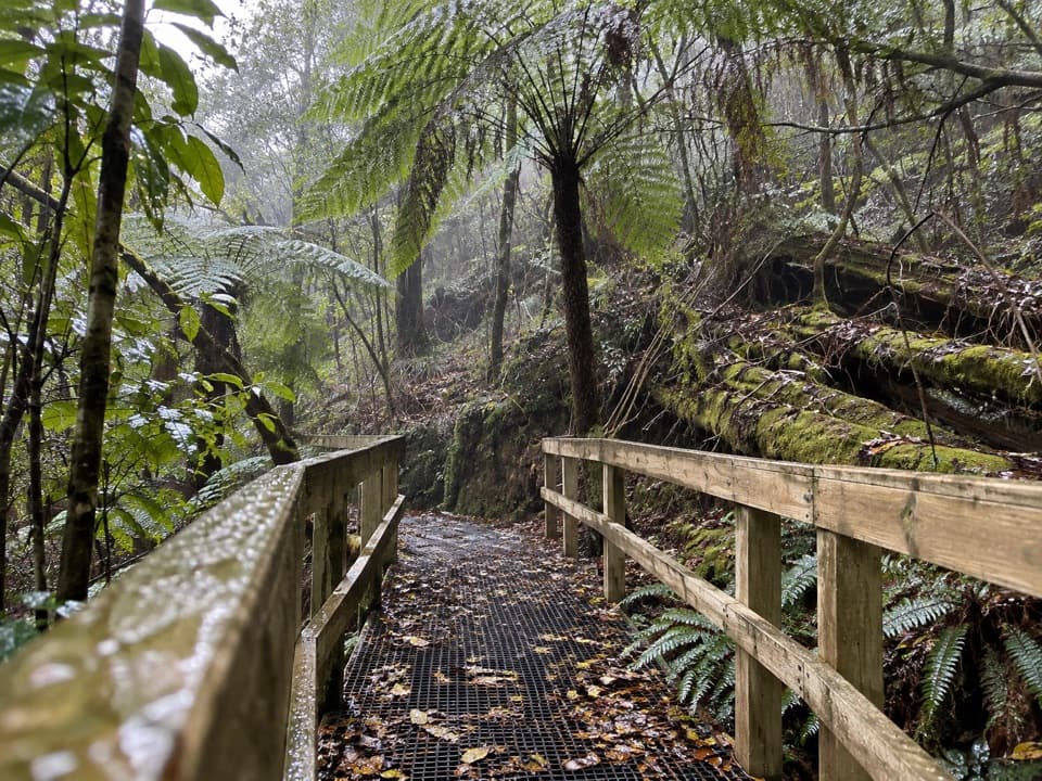
The falls reveal themselves at the stepsThe signposted track descends through tall eucalypts and tree ferns.

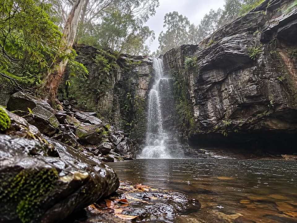
The signposted track descends through tall eucalypts and tree ferns. Two small bridges cross Parkinson Creek and Cora Lynn Creek. Vegetation screens much of the water until the bottom steps, where a natural rock platform opens onto cascades crossing exposed shale shelves. The platform is the easiest place to take in the stepped run; keep some energy for the uphill climb back to Blanket Leaf.

Get the shale shelves in your photoFrom the rock platform, include a few of the ledges below the water and leave the ferns at the…

From the rock platform, include a few of the ledges below the water and leave the ferns at the edge of the frame. That gives a phone photo more depth than a tight crop of water alone. Visitors have reported fuller flow after rain, though those same wet conditions can muddy the creekside path.

A spring-fed creek in fern forestCora Lynn Creek rises from a permanent spring higher on the mountain before spilling over the…

Cora Lynn Creek rises from a permanent spring higher on the mountain before spilling over the shale ledges. Tall eucalypts, peppermints and tree ferns shade the route. The picnic area's name comes from Blanket Leaf, a local bush with soft dark-green leaves and woolly white hairs underneath. You may hear Yellow-tailed Black Cockatoos, Spotted Pardalotes or New Holland Honeyeaters in the canopy.

Wildlife

Wildlife in Great Otway

All Great Otway wildlife maps

Sighting maps show where each species has been reported across Great Otway. Wildlife moves, so no sighting is guaranteed.

Keep exploring

Near Cora Lynn Cascades

See it all on the map

Trails nearby

More stops nearby

Parkwolf’s Great Otway ranking

Top sights in Great Otway

All 79 places
  1. 1Cape Otway LightstationSight
  2. 2Erskine FallsSight
  3. 3Hopetoun FallsSight
  4. 4Triplet FallsSight
  5. 5Aire Valley RedwoodsSight
  6. 6Lake ElizabethSight

Take Parkwolf to Great Otway.

The audio tour guide for the drive, plus offline maps, trails, and wildlife heatmaps for when the signal drops.

4.7 from 8,600+ ratings

Download Parkwolf on the App StoreGet Parkwolf on Google Play