Parking
Small roadside pull-off beside the signed track entrance on the west side of Deans Marsh Road, nearly 7 km beyond the Great Ocean Road junction. Arrange a shuttle to or from Lorne; the route finishes by the Visitor Centre.
Great Otway National Park, VIC
Rainforest shade, two river crossings, and a walk out to Lorne.
Overview
The opening stretch has leaf litter beneath tall Mountain Grey-gums and Manna Gums, with tree ferns and dense shrubs. Listen for White-throated Treecreepers; wallabies and kangaroos use the forest but are not guaranteed sightings. Some smooth-barked trees show old glider feeding marks, and fire scars and logging stumps tell a little of the forest’s past.
 Parkwolf’s verdictForest details worth noticing
Map & elevation
Plan your hike

The highest, rockiest slopes around here are a summer buffet for grizzly bears.
Great Otway Tour Guide
Parkwolf is a GPS audio tour guide for Great Otway National Park. As you drive, it chimes in with what’s ahead: hidden gems, upcoming stops, history, geology, and wildlife, right through your car’s speakers.
See the Great Otway audio tourRecorded for this trailhead
Five Mile Track: A Forest Walk into Lorne“Five Mile Track's roadside entrance is ahead, for a forest walk into Lorne. Allow about three hours for the eight kilometres one way, with steady climbs among tall gums and tree ferns.”
Plays as you drive up to this trailhead in the Parkwolf Great Otway Tour Guide.
More stories near here in the app
“Fantastic app with many points of information… It’s great to just turn on while you’re driving and it gives you an audio tour of the national Park. We love it!!!!”


Trail guide
Five Mile Track is an about 8 km one-way point-to-point walk from its signed Deans Marsh Road access into Lorne, through cool temperate forest and across the Little Erskine River twice. Allow about 3 hours one way. The Lorne walking map measures the route to the Visitor Centre at 8 km; another local description gives 8.5 km to the river, so the total varies slightly with the town endpoint.
This is not a loop. Arrange a shuttle between the roadside start and Lorne, or walking back the same way makes it roughly 16 km. The route ends through Lorne’s residential edge near the golf club and Erskine River before reaching the Visitor Centre.
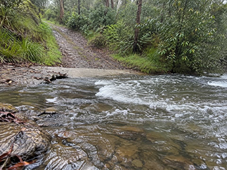
The first Little Erskine crossing is on a bridge; the second is by stepping stones. The stones and the track can be slippery when wet, so take your time and assess the water before crossing. A walking stick can help with balance.
There are steady climbs in the forest, then the track widens as it approaches Lorne. Southern Blue-gums and messmates become prominent, and there are glimpses across toward Erskine Falls Road. The last part passes residential development near Lorne Golf Club and descends toward the Erskine River and town facilities. A section follows a 4WD track with seasonal vehicle closures; check current walking access before setting out.
Wildlife
 204 sightingsKoalaMost seen around 6 PMSighting map
 35 sightingsGrey KangarooMost seen around 6 AMSighting map
 109 sightingsEchidnaMost seen around 5 PMSighting map
 58 sightingsKookaburraMost seen around 6 AMSighting map
 97 sightingsSwamp WallabyMost seen around 6 PMSighting map
 20 sightingsBrushtail PossumMost seen around 8 PMSighting map
Sighting maps show where each species has been reported across Great Otway. Wildlife moves, so no sighting is guaranteed.
Keep exploring
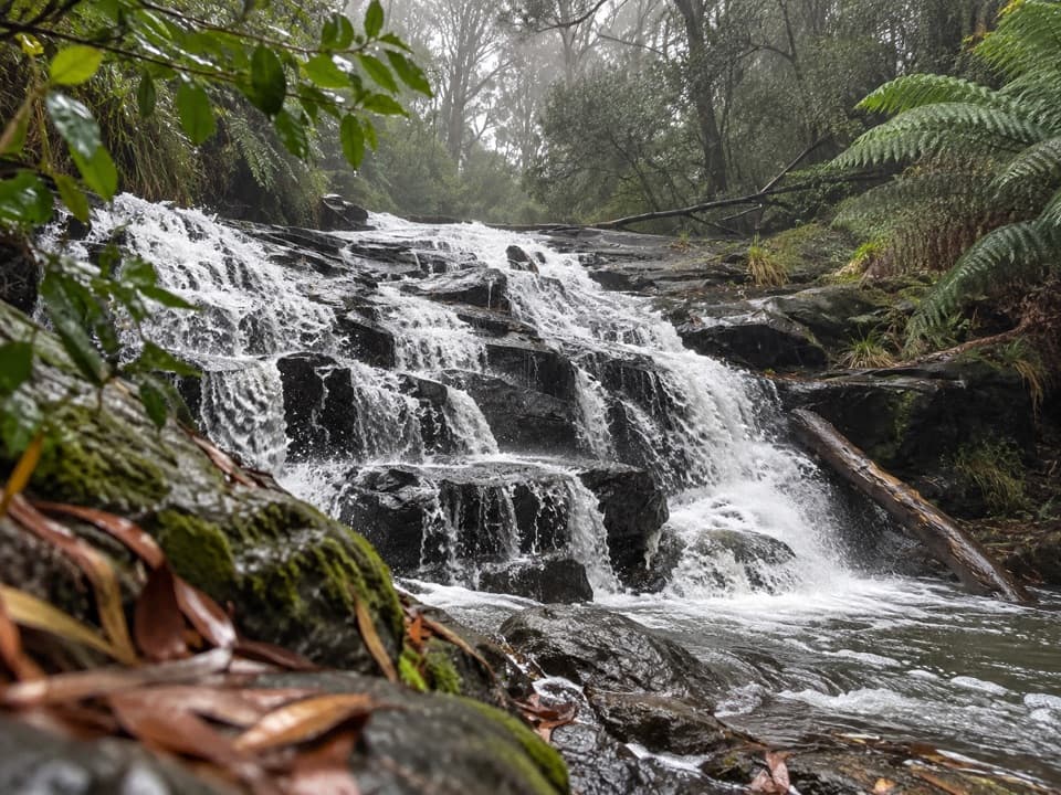 ModerateCora Lynn Cascades Walk4.2 km · 1.8 hr · 2.9 km awayFern shade and stepped shale cascades on a creek walk.
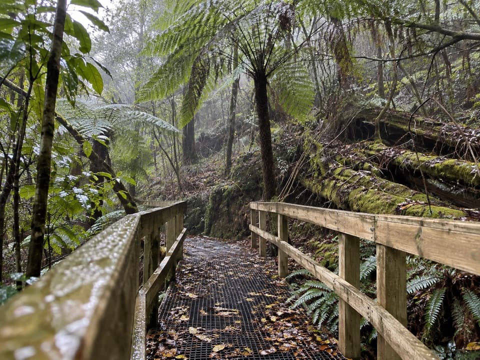 ModerateLemonade Creek Track4 km · 1.8 hr · 2.9 km awayTimber bridges cross fern gullies beneath tall eucalypts.
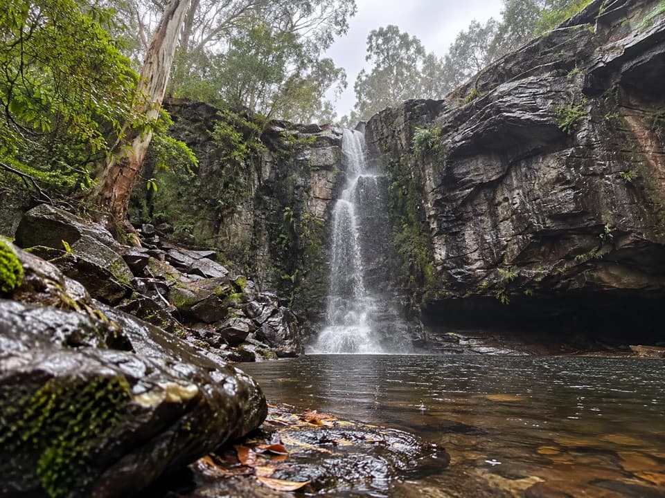 ChallengingPhantom Falls Walk: Blanket Leaf to Allenvale Mill8 km · 3.5 hr · 2.9 km awayA hard traverse from Blanket Leaf to Allenvale via Phantom Falls.
 ModerateAllenvale to Phantom Falls Walk3.4 km · 1.3 hr · 5.6 km awayA short climb ends at a rain-fed cascade above the river.
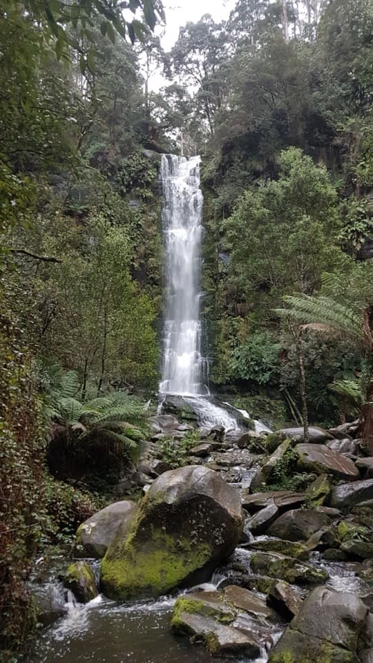 ChallengingErskine Falls Circuit Walk23 km · 8 hr · 5.6 km awayFive waterfalls, repeated creek crossings, and a full Lorne loop.
 ModerateSt George River Walk4.9 km · 1.8 hr · 5.8 km awayA riverside out-and-back from Allenvale Mill to the Great Ocean Road.
 EasyLower Kalimna Falls Walk6.5 km · 2.5 hr · 6.2 km awayA modest waterfall with a view from behind the falling water
 ModeratePhantom Falls and The Canyon Circuit9.2 km · 3.5 hr · 6.3 km awayThree waterfalls, fern forest and a ten-metre rock cleft.
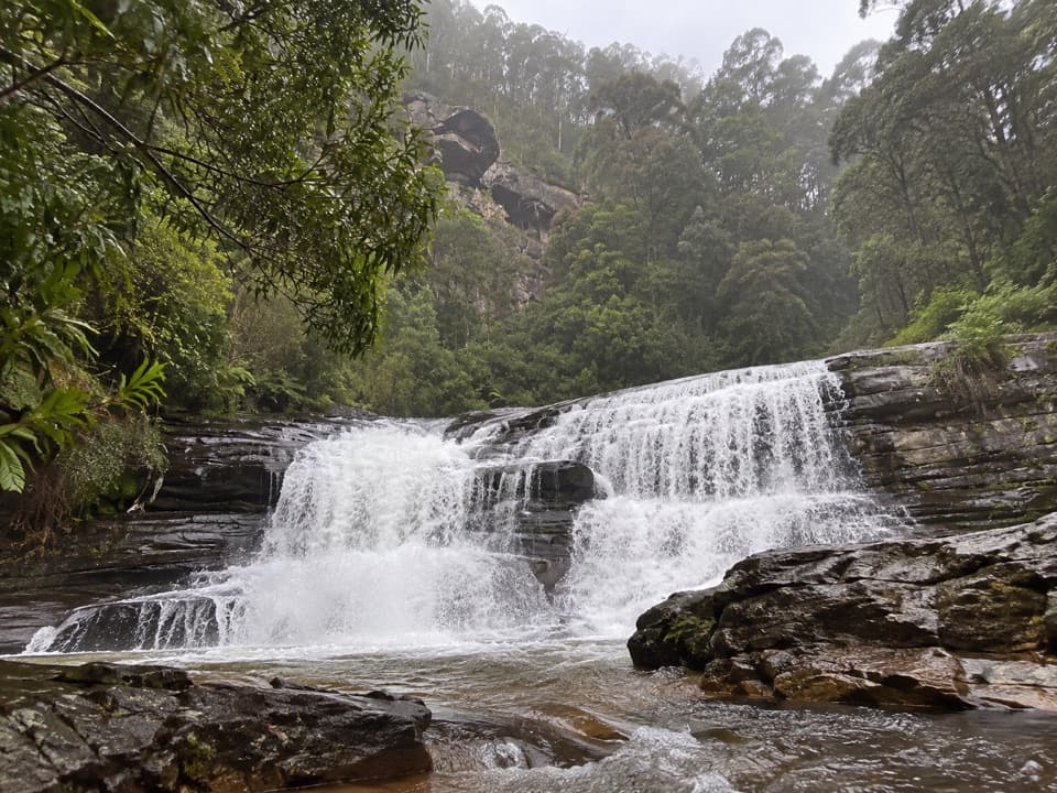 Sight · 2.2 km awaySplitter FallsA broad ledge waterfall on a challenging walk above Lorne.
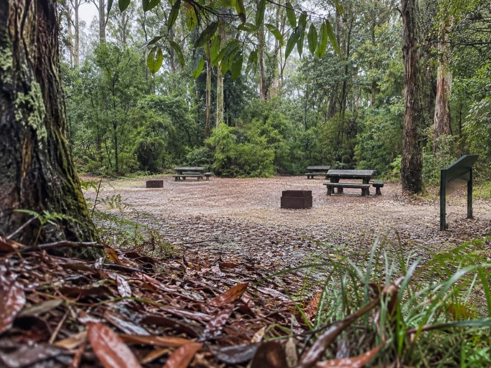 Picnic area · 2.9 km awayBlanket Leaf Picnic AreaA shaded picnic stop between Lorne and Erskine Falls.
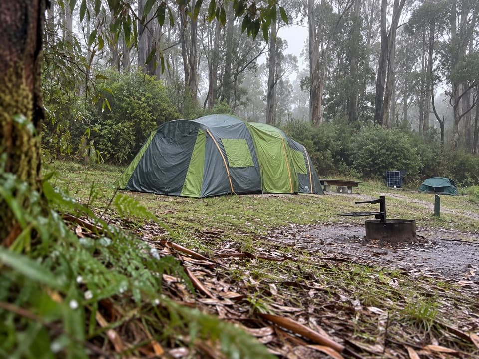 Campground · 3.2 km awayBig Hill CampgroundAn unpowered forest camp with parrots and close-spaced pitches
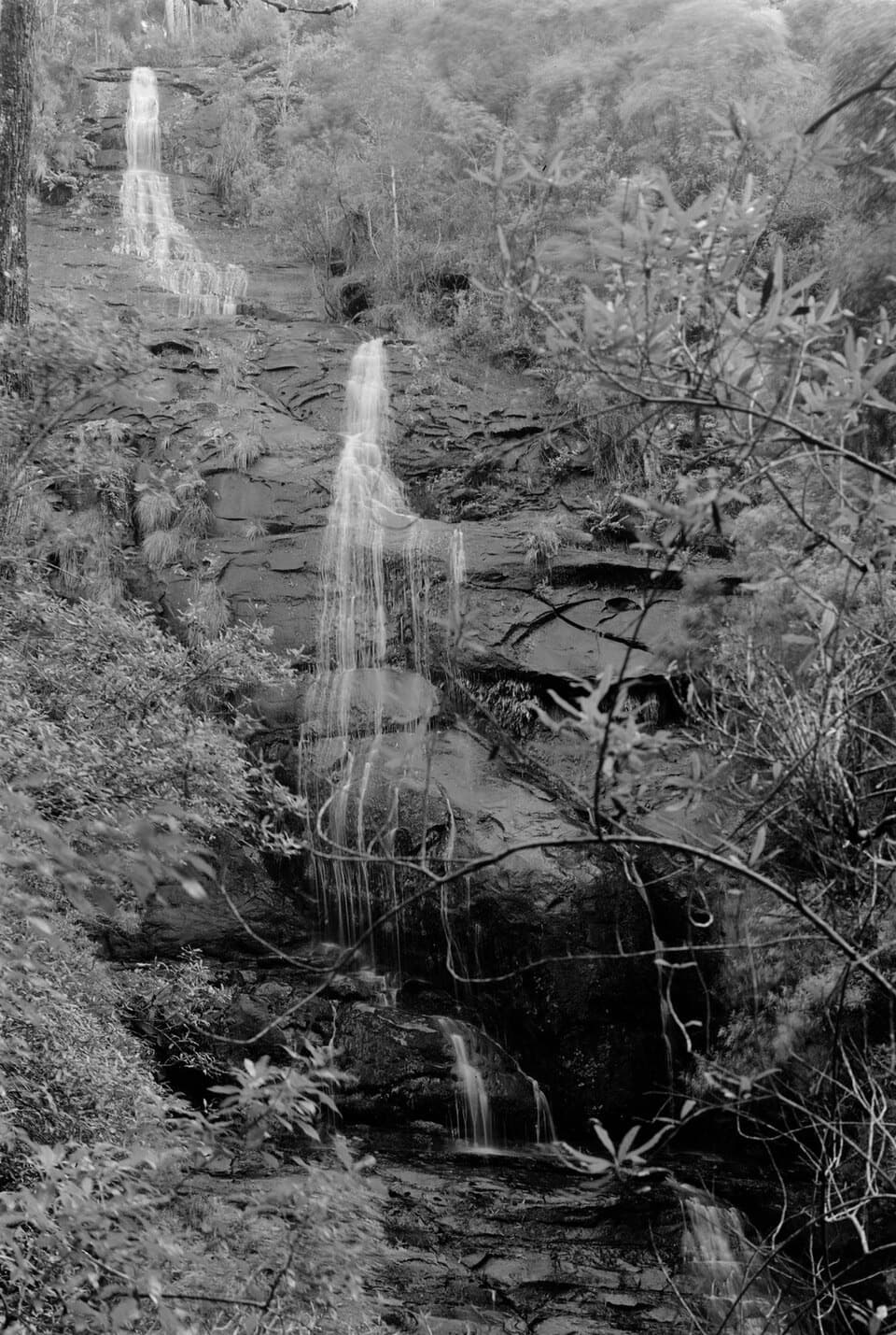 Sight · 3.3 km awayStraw FallsA rain-fed waterfall detour with a tricky river crossing
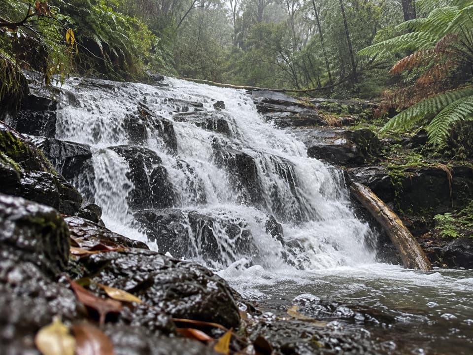 Sight · 3.5 km awayCora Lynn CascadesA ferny forest walk to cascades spread across dark shale.
 Sight · 3.6 km awayErskine FallsA fern-lined cascade rewards the steep stair descent to the rockpool.
 Visitor center · 4.6 km awayLorne Visitor Information CentreFree waterfall guides make this a smart first Lorne stop.
 Sight · 4.9 km awayPhantom FallsA fern-lined climb ends at a 15-metre cascade.
Parkwolf’s Great Otway ranking
The audio tour guide for the drive, plus offline maps, trails, and wildlife heatmaps for when the signal drops.





