Parking
Start at Blanket Leaf Picnic Area car park, 650 Erskine Falls Road; the signed walk leaves from the back of the picnic ground.
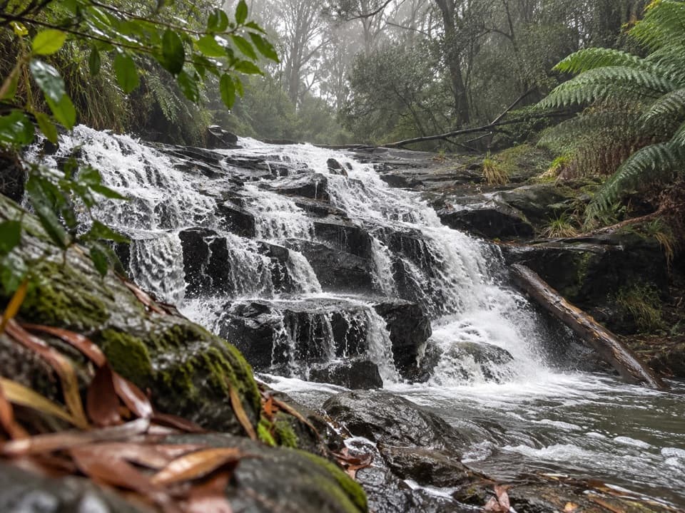
Great Otway National Park, VIC
Fern shade and stepped shale cascades on a creek walk.
Overview
Map & elevation
Plan your hike

The highest, rockiest slopes around here are a summer buffet for grizzly bears.
Great Otway Tour Guide
Parkwolf is a GPS audio tour guide for Great Otway National Park. As you drive, it chimes in with what’s ahead: hidden gems, upcoming stops, history, geology, and wildlife, right through your car’s speakers.
See the Great Otway audio tourRecorded for this trailhead
Blanket Leaf: Lunch or Cora Lynn Cascades“Blanket Leaf Picnic Area is ahead on Erskine Falls Road, a shaded place to stop for your own lunch. There are picnic tables and a small shelter, so a brief break works without committing to a walk.”
Plays as you drive up to this trailhead in the Parkwolf Great Otway Tour Guide.
More stories near here in the app
“Fantastic app with many points of information… It’s great to just turn on while you’re driving and it gives you an audio tour of the national Park. We love it!!!!”


Trail guide
Cora Lynn Cascades Walk is a 4.2-kilometre out-and-back from Blanket Leaf Picnic Area, down a shaded forest track to a stepped creek waterfall. Allow 1.5 to 2 hours; it is a moderate walk, and the return climbs steadily. You come for tree ferns, creek bridges and the cascades rather than a big lookout. Some route information gives a 5.5-kilometre loop, but its alignment could not be confirmed; this description follows the mapped short return route to the falls.
The track leaves from the back of the picnic ground and descends gradually along a slope under tall eucalypts and peppermints. A small bridge crosses Parkinson Creek. Beyond it, the canopy changes to tree ferns, then a second bridge takes you over Cora Lynn Creek. Vegetation screens much of the falls until the steps drop to a natural rock platform beside the water.
Cora Lynn Creek rises from a spring higher on the mountain, then spills over exposed shale ledges framed by ferns and moss. The cascades are small, but the layered rock and close forest setting make a good payoff for the walk. Flow is often stronger after rain. The shale and creek rocks are slippery, and hidden branches make swimming unsafe.
The walk back is uphill for much of the way. Mud can build up on the creek-side section after rain and in wetter months, so grippy footwear helps; take it slowly if you’re unsteady. This is a shaded route, but its short distance doesn’t remove the climb on the way back.
Park at Blanket Leaf Picnic Area on Erskine Falls Road. The signed walk begins behind the picnic ground. Toilets, a small shelter, an information board, picnic tables and wood-fired barbecues are at the picnic area; bring your own firewood. Dogs are not allowed on this route.
The picnic area is named for the blanket leaf bush, whose dark-green leaves have soft white hairs underneath. Along the track, look for Balm Mint-bush, Snowy Daisy-bush, Hazel Pomaderris and Prickly Currant-bush among the tree ferns. Longer routes continue toward Allenvale and Phantom Falls; that is a separate, much more demanding outing with many creek crossings.
Wildlife
 204 sightingsKoalaMost seen around 6 PMSighting map
 35 sightingsGrey KangarooMost seen around 6 AMSighting map
 109 sightingsEchidnaMost seen around 5 PMSighting map
 58 sightingsKookaburraMost seen around 6 AMSighting map
 97 sightingsSwamp WallabyMost seen around 6 PMSighting map
 20 sightingsBrushtail PossumMost seen around 8 PMSighting map
Sighting maps show where each species has been reported across Great Otway. Wildlife moves, so no sighting is guaranteed.
Keep exploring
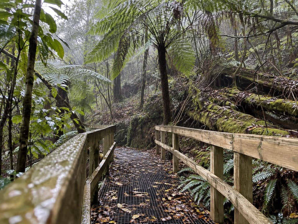 ModerateLemonade Creek Track4 km · 1.8 hr · At the trailheadTimber bridges cross fern gullies beneath tall eucalypts.
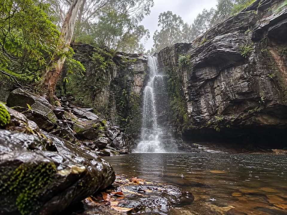 ChallengingPhantom Falls Walk: Blanket Leaf to Allenvale Mill8 km · 3.5 hr · At the trailheadA hard traverse from Blanket Leaf to Allenvale via Phantom Falls.
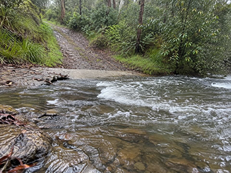 ModerateFive Mile Track8.2 km · 3 hr · 2.9 km awayRainforest shade, two river crossings, and a walk out to Lorne.
 EasyLower Kalimna Falls Walk6.5 km · 2.5 hr · 4.4 km awayA modest waterfall with a view from behind the falling water
 ModerateAllenvale to Phantom Falls Walk3.4 km · 1.3 hr · 4.4 km awayA short climb ends at a rain-fed cascade above the river.
 ModeratePhantom Falls and The Canyon Circuit9.2 km · 3.5 hr · 4.4 km awayThree waterfalls, fern forest and a ten-metre rock cleft.ModerateLower and Upper Kalimna Falls Walk8.8 km · 3.5 hr · 4.4 km awayA ferny falls loop with an old tramway on the return.
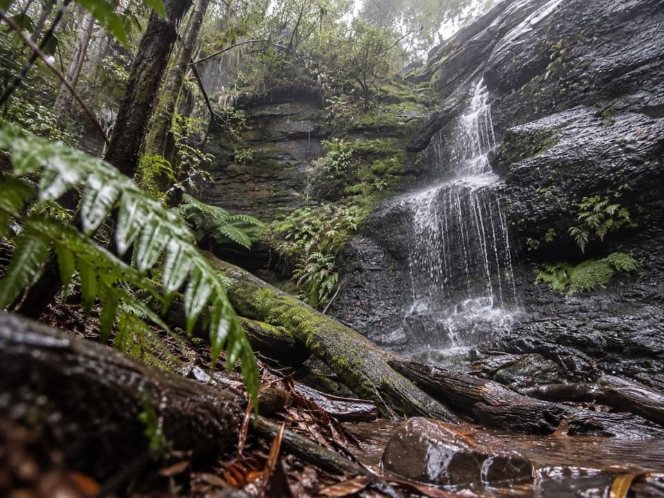 EasyWon Wondah and Henderson Falls Walk3.6 km · 1.5 hr · 4.4 km awayTwo waterfalls, a giant eucalypt, and a fern gully finish
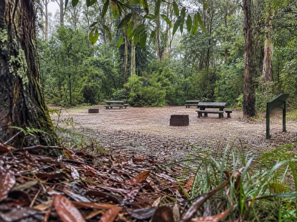 Picnic area · At the trailheadBlanket Leaf Picnic AreaA shaded picnic stop between Lorne and Erskine Falls.
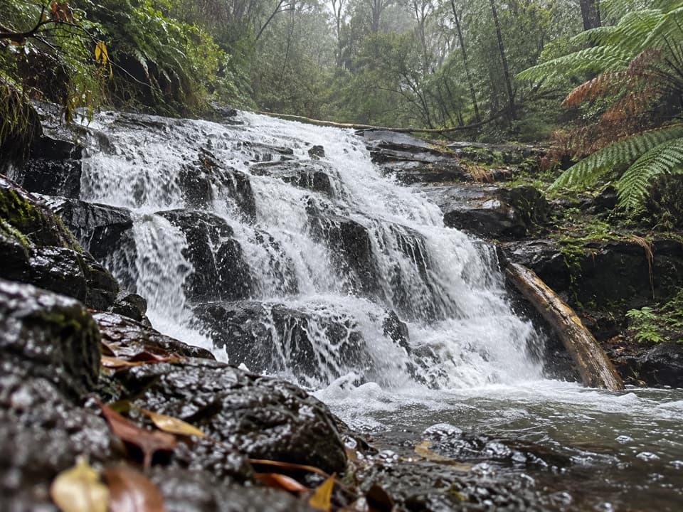 Sight · 0.6 km awayCora Lynn CascadesA ferny forest walk to cascades spread across dark shale.
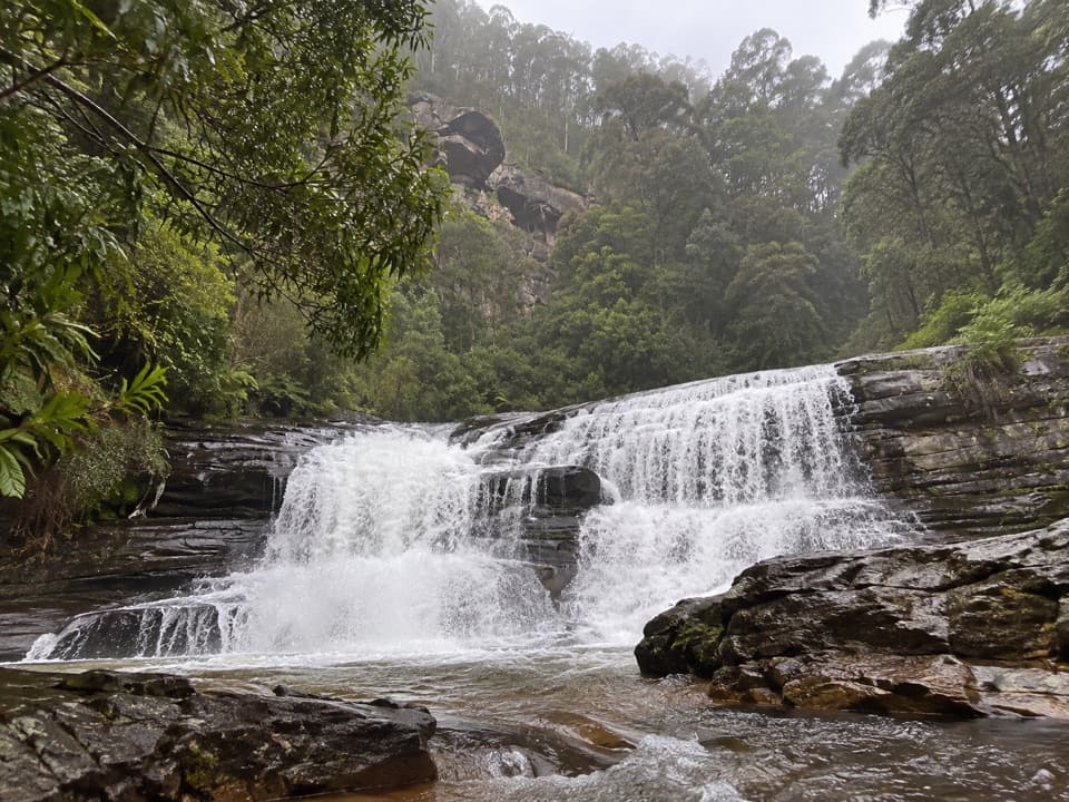 Sight · 0.9 km awaySplitter FallsA broad ledge waterfall on a challenging walk above Lorne.
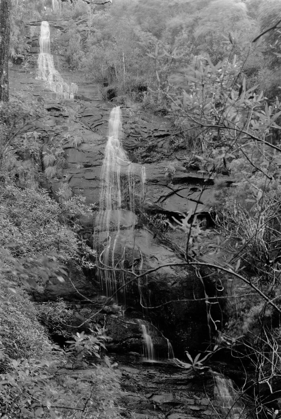 Sight · 1.5 km awayStraw FallsA rain-fed waterfall detour with a tricky river crossing
 Sight · 1.8 km awayErskine FallsA fern-lined cascade rewards the steep stair descent to the rockpool.
 Sight · 3.3 km awayPhantom FallsA fern-lined climb ends at a 15-metre cascade.
 Sight · 3.5 km awayThe CanyonEight-metre rock walls hide in a ferny waterfall walk.
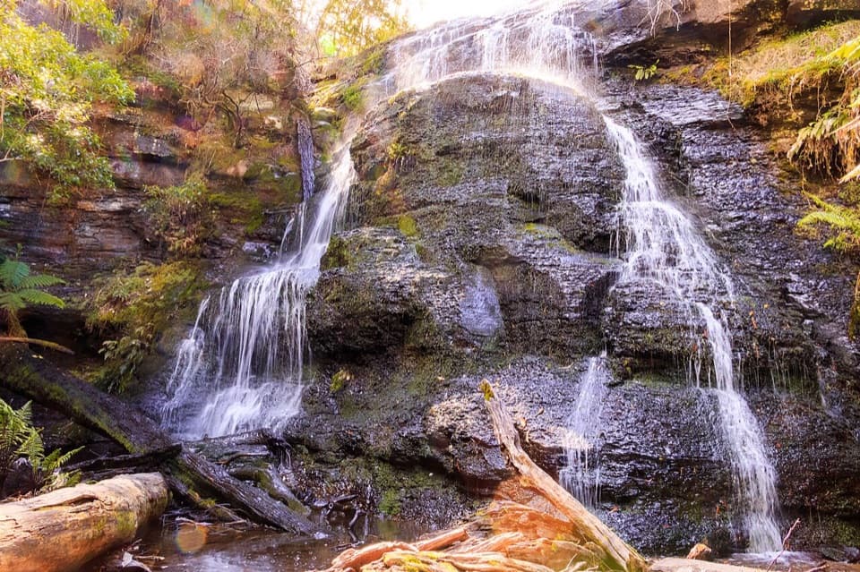 Sight · 3.7 km awayHenderson FallsA fern-gully cascade that gains force after rain.
Parkwolf’s Great Otway ranking

The audio tour guide for the drive, plus offline maps, trails, and wildlife heatmaps for when the signal drops.





