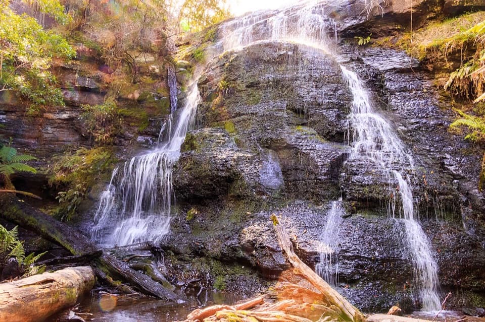
Lemonade Creek Track in Great Otway National Park

Great Otway National Park, VIC

Lemonade Creek Track

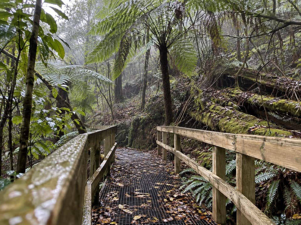
Timber bridges cross fern gullies beneath tall eucalypts.

Length
4km
Time
1.8hr
Elev. change
123m
Difficulty
Moderate
  • High point 445 m

Hear the audio tour

Blanket Leaf: Lunch or Cora Lynn Cascades

Overview

About Lemonade Creek Track

Why go

  • Creek crossings use small bridges and boardwalks
  • Gully ferns and seasonal wildflowers add variety
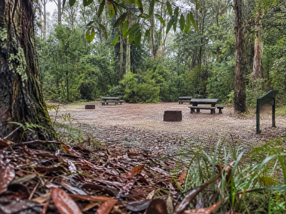
  • Picnic facilities at the starting access

Heads up

  • One-way logistics require a shuttle or return walk
  • Access over a short private driveway is unverified
  • Published distances range from about 4 to 5.5 km

Map & elevation

The route

Loading the Great Otway map
Full map
Elevation322–445 m
TrailheadBlanket Leaf Picnic Area-38.51632, 143.92936
Keep this map with you offline in the Parkwolf app

Plan your hike

Before you go

Parking

Start at Blanket Leaf Picnic Area on Erskine Falls Road. This is a one-way walk, so arrange a pickup at Erskine Falls Car Park or a lift back. Blanket Leaf has toilets, a small shelter, information board, picnic tables and wood-fired barbecues (supply your own wood). Parking capacity, fees and drinking water were not found.

Safety

A short signed driveway around 1.5 km from the start is described as crossing private land; current public passage is unverified. Confirm the access arrangement with Parks Victoria before using that section.

3 active Great Otway alerts

  • ClosureWye Road closed after storm and flood damageWye Road is closed until further notice because recent storm and flood damage requires road maintenance and repair works; plan around the closure.Official details
  • ClosureLorne-area walking trails closed after flood damageSome walking trails near Lorne are closed for public safety after the January 2026 flash floods washed away or severely damaged bridges and walkways.Official details
See all 3 alerts
A park ranger sits on a dash-mounted phone, talking, as Parkwolf’s Tour Guide plays “Army Cutworm Moths: A Grizzly Bear Buffet” on Grand Loop Road below Dunraven Pass in Yellowstone
Parkwolf Tour GuideThe highest, rockiest slopes around here are a summer buffet for grizzly bears.

Great Otway Tour Guide

Your drive to Lemonade Creek Track, narrated.

Parkwolf is a GPS audio tour guide for Great Otway National Park. As you drive, it chimes in with what’s ahead: hidden gems, upcoming stops, history, geology, and wildlife, right through your car’s speakers.

See the Great Otway audio tour

Recorded for this trailhead

Blanket Leaf: Lunch or Cora Lynn Cascades
0:00 / 0:28
“Blanket Leaf Picnic Area is ahead on Erskine Falls Road, a shaded place to stop for your own lunch. There are picnic tables and a small shelter, so a brief break works without committing to a walk.”

Plays as you drive up to this trailhead in the Parkwolf Great Otway Tour Guide.

More stories near here in the app

  • Erskine Falls: Two Ways to See It
  • The Bird Following Your Footsteps
  • From an Otways Creek to the Coral Sea
  • Five Mile Track: A Forest Walk into Lorne
  • 252 audio storiesacross Great Otway’s roads, triggered by GPS as you drive
  • Wildlife heatmapsfor Koala, Grey Kangaroo, Echidna, and 13 more
  • Works offlinemaps, 83 trails, 79 places, and audio download before you lose signal
  • CarPlay readysimple controls built for the drive
★★★★★
“Fantastic app with many points of information… It’s great to just turn on while you’re driving and it gives you an audio tour of the national Park. We love it!!!!”
JMJamesApp Store review
Download Parkwolf on the App StoreGet Parkwolf on Google Play

4.7 from 8,600+ ratings

Trail guide

Hiking Lemonade Creek Track

The through-walkLemonade Creek Track is a 4 km (2.

Lemonade Creek Track is a 4 km (2.5 mi) point-to-point walk from Blanket Leaf Picnic Area to Erskine Falls Car Park. Allow about 1.5 to 2 hours, then shuttle back to your start. Route distances differ: the written directions and mapped track fit about 4 km, while an older park plan lists 5.5 km for the same name. Check current signs and leave extra time.

Find the signed trackFrom Blanket Leaf, follow signs for Lemonade Creek and Cora Lynn.

From Blanket Leaf, follow signs for Lemonade Creek and Cora Lynn. After about 500 m, take the right-hand branch marked Lemonade Creek Track. Around 1.5 km in, the route crosses Lorne to Erskine Falls Road, then uses a short signed driveway described as private land. Its current public-access status has not been confirmed; check with Parks Victoria before taking that connector.

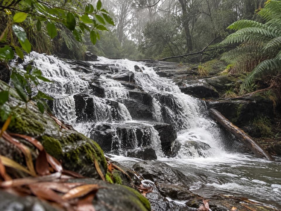
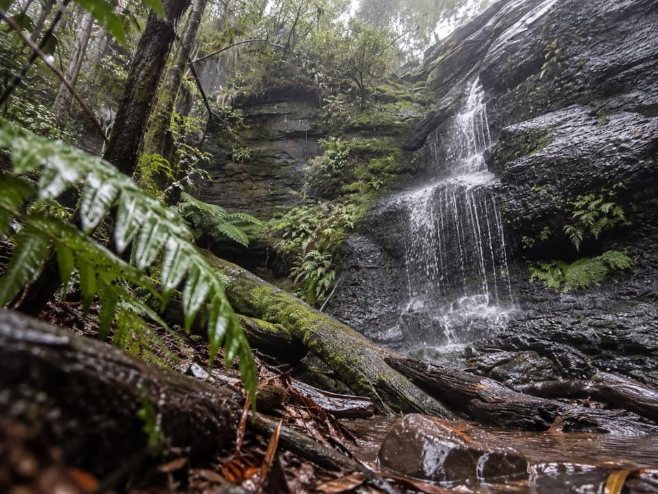
Bridges and fern gullyThe narrow path begins along the top of a gully beneath tall eucalypts and varied ferns.

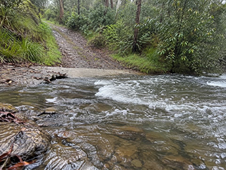
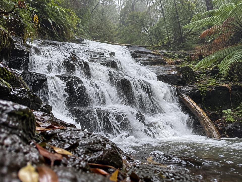
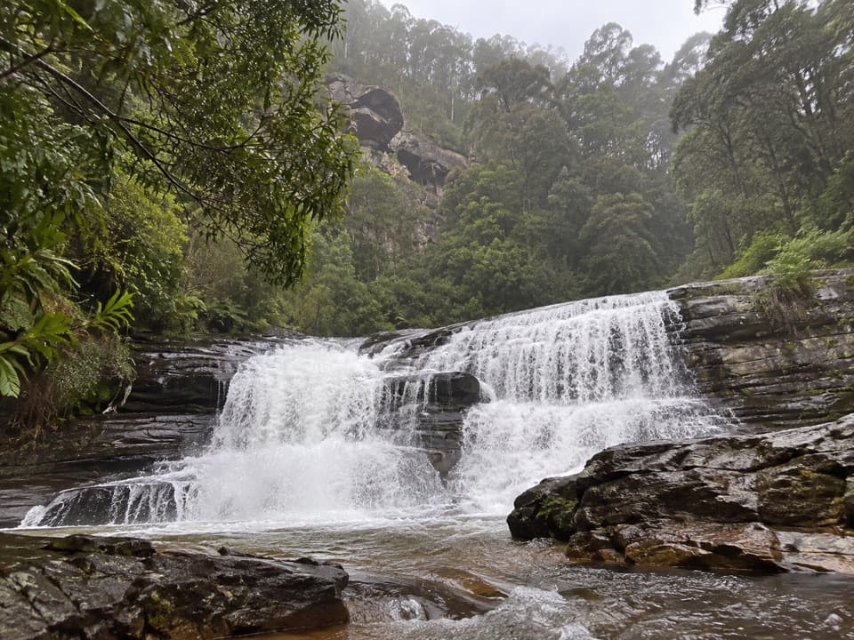
The narrow path begins along the top of a gully beneath tall eucalypts and varied ferns. After the second wooden bridge, the view opens onto straight trunks and tree ferns below. The track then descends to creek level and crosses the water several times on small bridges and boardwalks before following a fern gully. For a trail photo, include one of the timber bridges in the frame to show the route beneath the canopy.

Flowers and birdsCommon Bird Orchids flower here around October and November.

Common Bird Orchids flower here around October and November. In spring, Balm Mint-bush brings purple, perfumed flowers, while Snowy Daisy-bush flowers white. Rose Robins may be seen or heard, along with calls from White-eared Honeyeaters and White-throated Treecreepers; these are possibilities, not guaranteed sightings.

The last stretchThe track leaves the fern gully, crosses a ridge into more open woodland, returns to ferns,…

The track leaves the fern gully, crosses a ridge into more open woodland, returns to ferns, passes one more wooden bridge and climbs to Erskine Falls Car Park. The waterfall lookout is a separate stop from the through-route. At the start, Blanket Leaf Picnic Area has toilets, a small shelter, an information board, picnic tables and wood-fired barbecues; bring your own wood.

Wildlife

Wildlife in Great Otway

All Great Otway wildlife maps

Sighting maps show where each species has been reported across Great Otway. Wildlife moves, so no sighting is guaranteed.

Keep exploring

Near Lemonade Creek Track

See it all on the map

Trails that start nearby

Places near the trailhead

Parkwolf’s Great Otway ranking

Top-rated trails in Great Otway

All 83 trails
  1. 1Great Ocean WalkChallenging · 100 km
  2. 2Maits Rest Rainforest WalkEasy · 0.8 km
  3. 3Triplet Falls WalkModerate · 1.8 km
  4. 4Hopetoun Falls WalkModerate · 0.8 km
  5. 5Madsen’s Track Nature WalkModerate · 1.4 km
  6. 6Lake Elizabeth Loop WalkEasy · 4.7 km

Take Parkwolf to Great Otway.

The audio tour guide for the drive, plus offline maps, trails, and wildlife heatmaps for when the signal drops.

4.7 from 8,600+ ratings

Download Parkwolf on the App StoreGet Parkwolf on Google Play