Parking
Start at the Blanket Leaf Picnic Area car park and finish at Allenvale Mill Car Park. Arrange a pickup, or allow about 16 km to retrace the route.
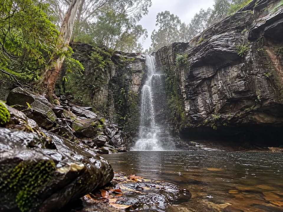
Great Otway National Park, VIC
A hard traverse from Blanket Leaf to Allenvale via Phantom Falls.
Overview
Map & elevation
Plan your hike

The highest, rockiest slopes around here are a summer buffet for grizzly bears.
Great Otway Tour Guide
Parkwolf is a GPS audio tour guide for Great Otway National Park. As you drive, it chimes in with what’s ahead: hidden gems, upcoming stops, history, geology, and wildlife, right through your car’s speakers.
See the Great Otway audio tourRecorded for this trailhead
Blanket Leaf: Lunch or Cora Lynn Cascades“Blanket Leaf Picnic Area is ahead on Erskine Falls Road, a shaded place to stop for your own lunch. There are picnic tables and a small shelter, so a brief break works without committing to a walk.”
Plays as you drive up to this trailhead in the Parkwolf Great Otway Tour Guide.
More stories near here in the app
“Fantastic app with many points of information… It’s great to just turn on while you’re driving and it gives you an audio tour of the national Park. We love it!!!!”


Trail guide
The Phantom Falls Walk is an 8 km one-way point-to-point route from Blanket Leaf Picnic Area to Allenvale Mill, linking Cora Lynn Cascades and Phantom Falls. Allow about 3½ hours. It’s strenuous and best for experienced walkers; the repeated creek crossings and easy-to-miss arrows need more attention than the distance suggests. Arrange a pickup at Allenvale Mill Car Park. Walking back means about 16 km total. If you mainly want the waterfall, a separate 3.4 km return walk starts at Allenvale and skips Cora Lynn.
Between Cora Lynn Cascades and Cora Lynn Crossing, the track crosses the creek more than 20 times. Orange-red arrows mark the crossings, but they can be hard to spot, so take your time finding each marker. Don’t attempt the walk after heavy rain or when river levels are high; the water crossings are the main reason to choose another day.
At Phantom Falls, a lookout and seat face the fern-covered escarpment and the pool below. More than 270 steps lead down to a lookout at the base. The falls depend on rain and overflow from Allenvale Dam upstream, so the flow can be modest after a dry spell.
The lower part of the route follows the St George River through tall eucalypts and dense understorey, then passes orchard and farmland near Allenvale. The valley is a good place to listen for Superb Fairy-wrens, White-throated Treecreepers, Grey Shrike-thrush and honeyeaters.
Start at the Blanket Leaf Picnic Area car park and finish at Allenvale Mill Car Park. It’s a true point-to-point walk, so arrange transport between them or retrace the route on foot. Blanket Leaf has picnic tables and fireplaces. Dogs aren’t allowed on roads, tracks or trails in the Lorne area of the national park, including this walk.
Wildlife
 204 sightingsKoalaMost seen around 6 PMSighting map
 35 sightingsGrey KangarooMost seen around 6 AMSighting map
 109 sightingsEchidnaMost seen around 5 PMSighting map
 58 sightingsKookaburraMost seen around 6 AMSighting map
 97 sightingsSwamp WallabyMost seen around 6 PMSighting map
 20 sightingsBrushtail PossumMost seen around 8 PMSighting map
Sighting maps show where each species has been reported across Great Otway. Wildlife moves, so no sighting is guaranteed.
Keep exploring
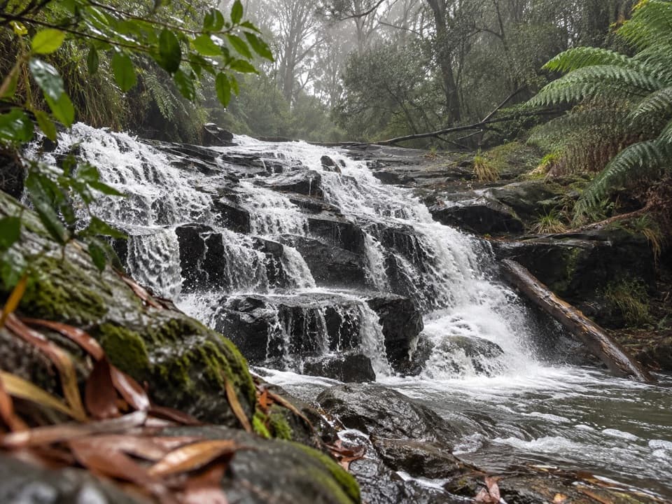 ModerateCora Lynn Cascades Walk4.2 km · 1.8 hr · At the trailheadFern shade and stepped shale cascades on a creek walk.
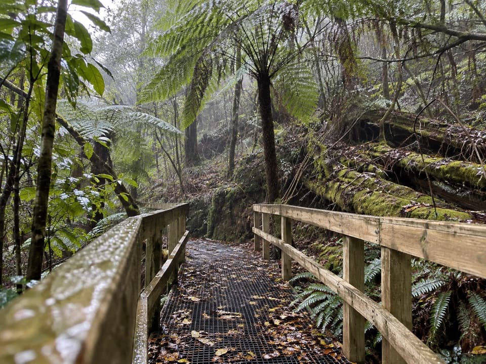 ModerateLemonade Creek Track4 km · 1.8 hr · At the trailheadTimber bridges cross fern gullies beneath tall eucalypts.
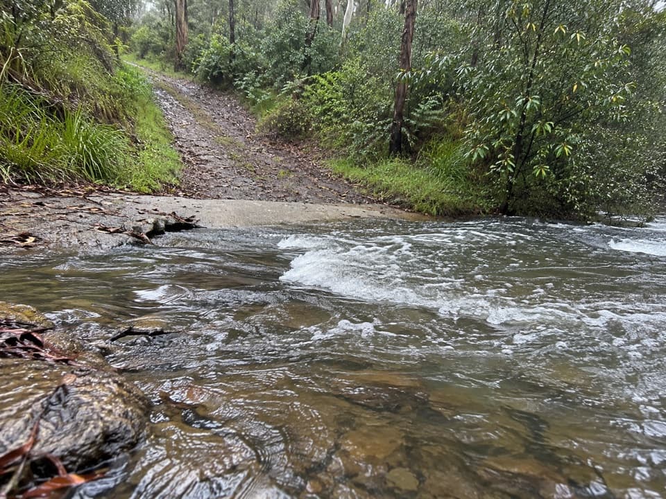 ModerateFive Mile Track8.2 km · 3 hr · 2.9 km awayRainforest shade, two river crossings, and a walk out to Lorne.
 EasyLower Kalimna Falls Walk6.5 km · 2.5 hr · 4.4 km awayA modest waterfall with a view from behind the falling water
 ModerateAllenvale to Phantom Falls Walk3.4 km · 1.3 hr · 4.4 km awayA short climb ends at a rain-fed cascade above the river.
 ModeratePhantom Falls and The Canyon Circuit9.2 km · 3.5 hr · 4.4 km awayThree waterfalls, fern forest and a ten-metre rock cleft.ModerateLower and Upper Kalimna Falls Walk8.8 km · 3.5 hr · 4.4 km awayA ferny falls loop with an old tramway on the return.
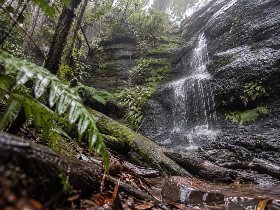 EasyWon Wondah and Henderson Falls Walk3.6 km · 1.5 hr · 4.4 km awayTwo waterfalls, a giant eucalypt, and a fern gully finish
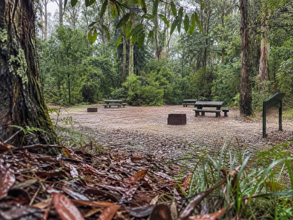 Picnic area · At the trailheadBlanket Leaf Picnic AreaA shaded picnic stop between Lorne and Erskine Falls.
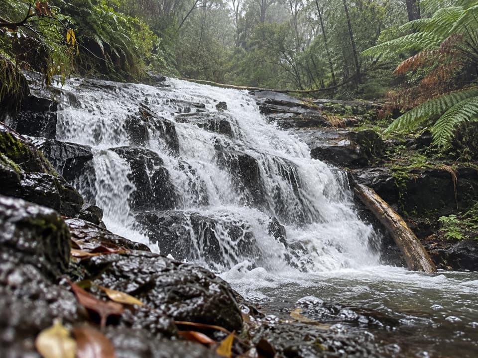 Sight · 0.6 km awayCora Lynn CascadesA ferny forest walk to cascades spread across dark shale.
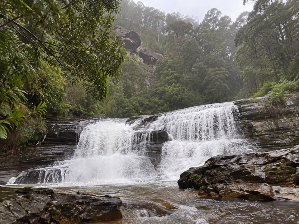 Sight · 0.9 km awaySplitter FallsA broad ledge waterfall on a challenging walk above Lorne.
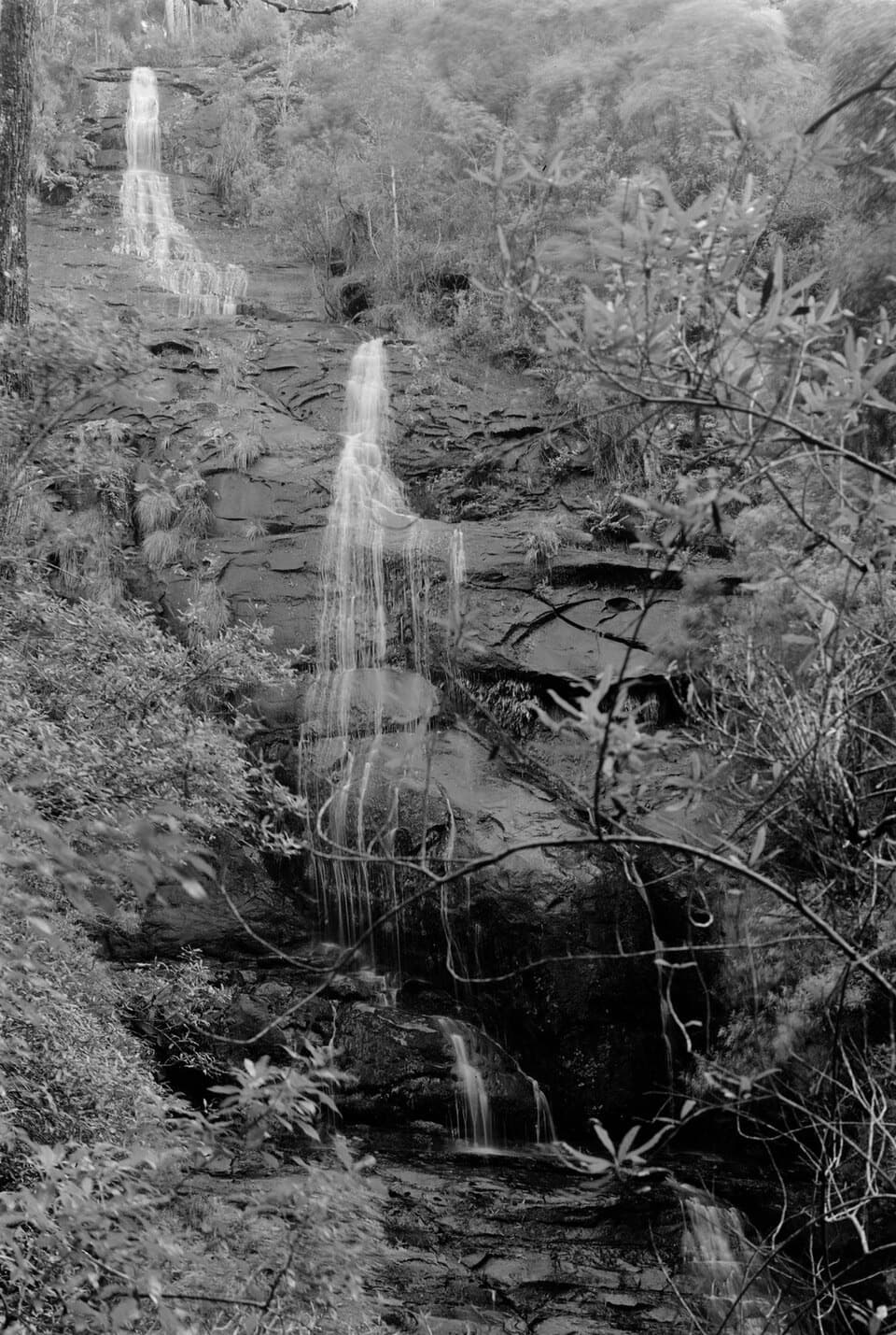 Sight · 1.5 km awayStraw FallsA rain-fed waterfall detour with a tricky river crossing
 Sight · 1.8 km awayErskine FallsA fern-lined cascade rewards the steep stair descent to the rockpool.
 Sight · 3.3 km awayPhantom FallsA fern-lined climb ends at a 15-metre cascade.
 Sight · 3.5 km awayThe CanyonEight-metre rock walls hide in a ferny waterfall walk.
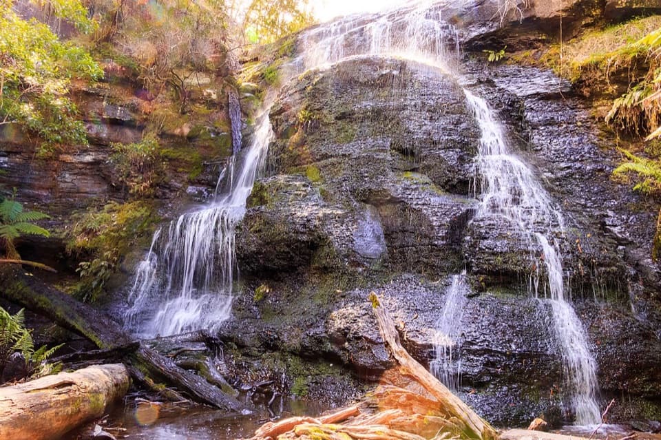 Sight · 3.7 km awayHenderson FallsA fern-gully cascade that gains force after rain.
Parkwolf’s Great Otway ranking

The audio tour guide for the drive, plus offline maps, trails, and wildlife heatmaps for when the signal drops.





