Pros & cons
PROS
- Taller of the two Kalimna cascades
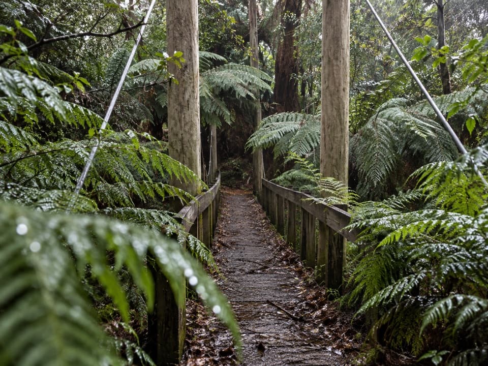
- Approach follows a tranquil historic tramway through ferny gullies
CONS
- Closed until further notice due to damaged infrastructure
- Trail can be muddy with fallen trees after rain; conditions change quickly
- Less dramatic than Lower Kalimna and viewed only from a deck when open
Overview
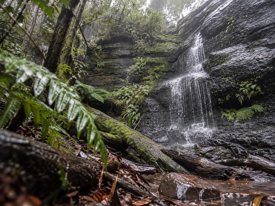
Upper Kalimna Falls is the higher, wilder sibling on the Kalimna Falls Walking Track near Lorne. It’s a classic Otways scene—tall tree ferns, blue gums and a creek valley—reached via an old timber tramway. At the moment, the section to the upper falls is closed until further notice due to storm damage and a broken pedestrian bridge. Lower Kalimna Falls remains the reliable highlight.
Current Status
Parks Victoria has the upper-falls track and the Kalimna Tramline link walk closed until repairs are made. Conditions in this forest change fast after weather events, so always check Parks Victoria park alerts before you go.
Getting There & Distances
Start at Sheoak Picnic Area (toilets, picnic tables, shelter). From here it’s roughly 2.9 km one way to Lower Kalimna Falls on an easy, mostly flat track. When the upper section is open, expect an 8–9.5 km return outing to visit both falls, typically 2.5–3.5 hours depending on pace and stops.
What You’ll See (When Open)
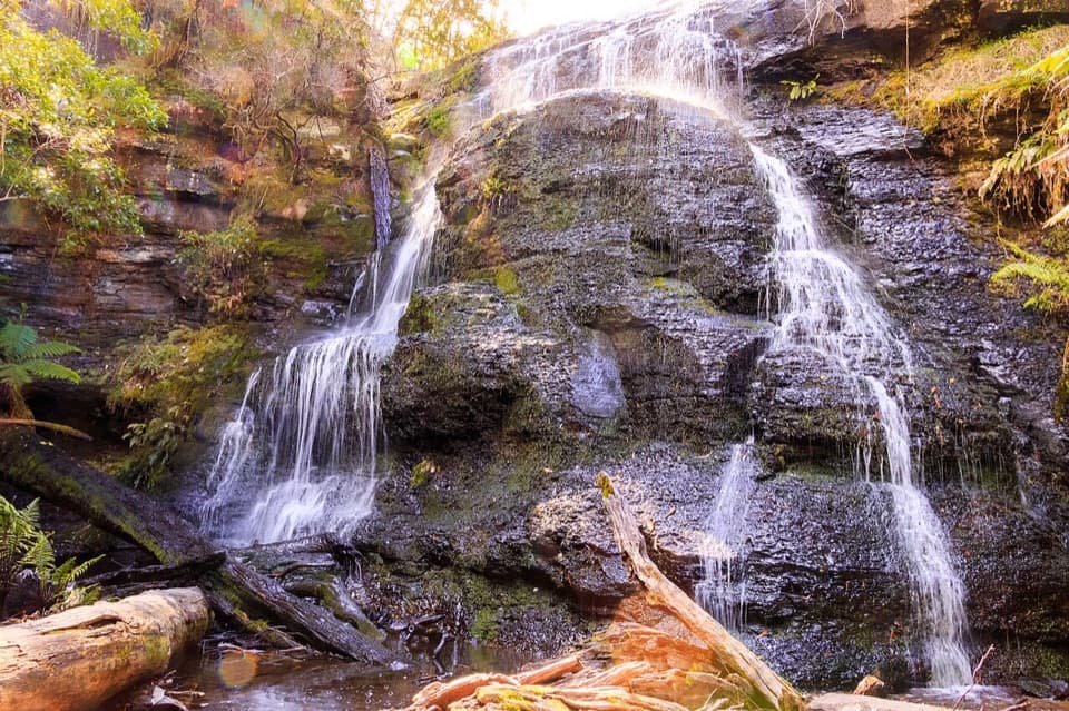
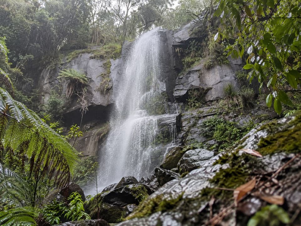
Upper Kalimna is estimated around 20–25 m with a viewing deck that gives the main perspective. It’s a handsome drop but more conventional; many walkers find Lower Kalimna the show-stealer for its natural rock recess where you can stroll behind the curtain of water.
Trail Conditions & Safety
This route can be very muddy and slippery after rain, with occasional fallen trees and branches. Waterproof, grippy footwear is worth it. Mobile reception can be patchy. Dogs aren’t permitted on this walk. In wet, ferny sections, leeches are possible and stinging nettles have been noted—long sleeves help.
Wildlife
Keep an eye out for signs of short‑beaked echidnas and long‑nosed bandicoots—fresh diggings and shallow holes can be trip hazards. They’re protected natives; give them space and stay on the formed track.
Facilities
All facilities are at Sheoak Picnic Area: toilets, picnic tables and a shelter. There’s no reliable drinking water on the track—bring your own.
Best Time to Visit
For flow and mood, go after rain. Early mornings or rainy days are quieter and photographically kind. Late spring to early summer often strikes a nice balance of weather and water. Note the upper falls’ west-facing cliff can make harsh midday light tricky for photos.
Where it is
-38.5618, 143.9090Tips for Upper Kalimna Falls
- 01Check Parks Victoria park alerts on the morning of your hike for closure updates.
- 02Start at Sheoak Picnic Area and plan to turn around at Lower Kalimna while the upper track is closed.
- 03Wear waterproof shoes—sections get muddy and slippery after rain.
- 04Bring all the water you need; there are no taps along the track.
- 05After wet weather, watch for leeches and fresh animal diggings on the path.
Amenities
Near Upper Kalimna Falls
All places →All trails →
0.4 mi awayLower Kalimna FallsWalk behind a fern-fringed curtain into a cool caveTrailhead · Parking
1.2 mi awayCumberland FallsPretty twin‑cascade reached via river crossings and swim‑friendly poolsTrailhead · Parking
1.6 mi awayHenderson FallsShort fern gully walk to a gentle waterfall, best after rainTrailhead · Parking
1.8 mi awayWon Wondah FallsShy little cascade on a short, ferny forest walkScenic Viewpoint · Parking
1.9 mi awayKalimna Falls WalkShaded creek stroll to a walk behind waterfall near LorneEasy · 3.5 mi · 2 hr
1.9 mi awaySheoak Picnic Ground – The CanyonFerny waterfall ramble into a mossy slot canyon near Lorne.Moderate · 5.3 mi · 3 hr
1.9 mi awaySheoak Picnic Ground Nature WalkShort ferny loop with a suspension bridge from Lorne's picnic hubEasy · 0.8 mi · 45 min
2.8 mi awayAllenvale to Phantom FallsShort, shady wander to a fern-framed waterfall near LorneModerate · 2.2 mi · 1.5 hr