Parking
Start at Allenvale Mill Car Park on Allenvale Road, beside Allenvale Campground.

Great Otway National Park, VIC
A short climb ends at a rain-fed cascade above the river.
Overview
Map & elevation
Plan your hike

The highest, rockiest slopes around here are a summer buffet for grizzly bears.
Great Otway Tour Guide
Parkwolf is a GPS audio tour guide for Great Otway National Park. As you drive, it chimes in with what’s ahead: hidden gems, upcoming stops, history, geology, and wildlife, right through your car’s speakers.
See the Great Otway audio tourRecorded for this trailhead
Allenvale: Forest Walk to Phantom Falls“Allenvale Mill car park is ahead, where the Phantom Falls walk begins. Allow about ninety minutes return, with a steep, sometimes loose climb above the St George River and steps down to the pool.”
Plays as you drive up to this trailhead in the Parkwolf Great Otway Tour Guide.
More stories near here in the app
“Fantastic app with many points of information… It’s great to just turn on while you’re driving and it gives you an audio tour of the national Park. We love it!!!!”


Trail guide
Allenvale to Phantom Falls is a 2.1-mile (3.4-kilometre) out-and-back from Allenvale Mill Car Park to the waterfall, then back on the same track. Allow about 1 to 1½ hours for the walk and a stop at the falls. It is a short bush walk with a proper uphill stretch, a river-valley view and a waterfall payoff. This is the direct Allenvale approach, not the longer circuit from Sheoak Picnic Area or the walk in from Blanket Leaf.
Follow the Phantom Falls sign from the car park, cross a small bridge and pass through orchard and farmland before entering the national park. That open, rural start gives way to tall eucalypts and dense understorey beside the St George River. Keep to the marked track through the private land; the path is the public access through this section.
The first part rises gradually along the river. After roughly a kilometre, the track climbs more steadily and opens onto views into the St George River valley. The grade eases again near the falls. Retrace the same route to return; most of that climb becomes downhill on the way back. The mapped line follows the one-way corridor, while the distance above includes the return walk.
Phantom Falls drops about 15 metres on the St George River. A small lookout and seat face the falls, with tree ferns on the escarpment and a pool below; steep steps descend to the base. The flow depends on rain and overflow from Allenvale Dam, so it can be modest after a dry spell. From the lookout, frame the cascade with the ferns and pool rather than filling the shot with rock. A hand-coloured photograph of the falls by Lorne photographer John William Lindt dates to 1907.
The river valley attracts birds including Superb Fairy-wrens, White-throated Treecreepers, Grey Shrike-thrushes, honeyeaters and Pied Currawongs. Satin Bowerbirds sometimes breed near the Allenvale parking area, though sightings are never guaranteed. The waterfall is the clear destination; the quiet stretch beside the river is a good reason to slow down on the way there.
Start at Allenvale Mill Car Park on Allenvale Road, beside Allenvale Campground. Dogs are not permitted on this waterfall route; the nearby on-lead exception applies to the separate St George River Track. No food service, drinking water or toilets were confirmed at the trailhead, so bring what you need before leaving Lorne.
Wildlife
 204 sightingsKoalaMost seen around 6 PMSighting map
 35 sightingsGrey KangarooMost seen around 6 AMSighting map
 109 sightingsEchidnaMost seen around 5 PMSighting map
 58 sightingsKookaburraMost seen around 6 AMSighting map
 97 sightingsSwamp WallabyMost seen around 6 PMSighting map
 20 sightingsBrushtail PossumMost seen around 8 PMSighting map
Sighting maps show where each species has been reported across Great Otway. Wildlife moves, so no sighting is guaranteed.
Keep exploring
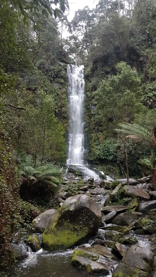 ChallengingErskine Falls Circuit Walk23 km · 8 hr · At the trailheadFive waterfalls, repeated creek crossings, and a full Lorne loop.
 ModerateSt George River Walk4.9 km · 1.8 hr · 0.2 km awayA riverside out-and-back from Allenvale Mill to the Great Ocean Road.
 EasyLower Kalimna Falls Walk6.5 km · 2.5 hr · 1.4 km awayA modest waterfall with a view from behind the falling water
 ModerateSheoak Falls–Castle Rock Circuit9 km · 3.5 hr · 1.4 km awayA creekside loop links a swallow cave, waterfall and ocean lookout.
 ModeratePhantom Falls and The Canyon Circuit9.2 km · 3.5 hr · 1.5 km awayThree waterfalls, fern forest and a ten-metre rock cleft.ModerateLower and Upper Kalimna Falls Walk8.8 km · 3.5 hr · 1.5 km awayA ferny falls loop with an old tramway on the return.
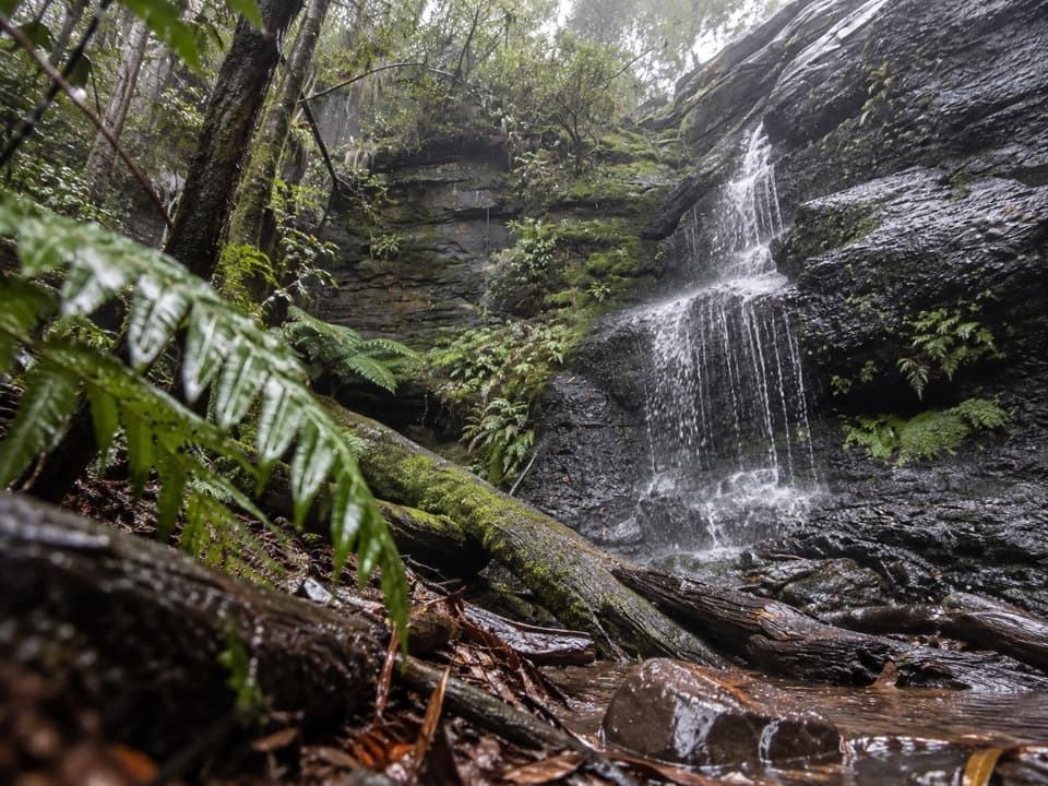 EasyWon Wondah and Henderson Falls Walk3.6 km · 1.5 hr · 1.5 km awayTwo waterfalls, a giant eucalypt, and a fern gully finish
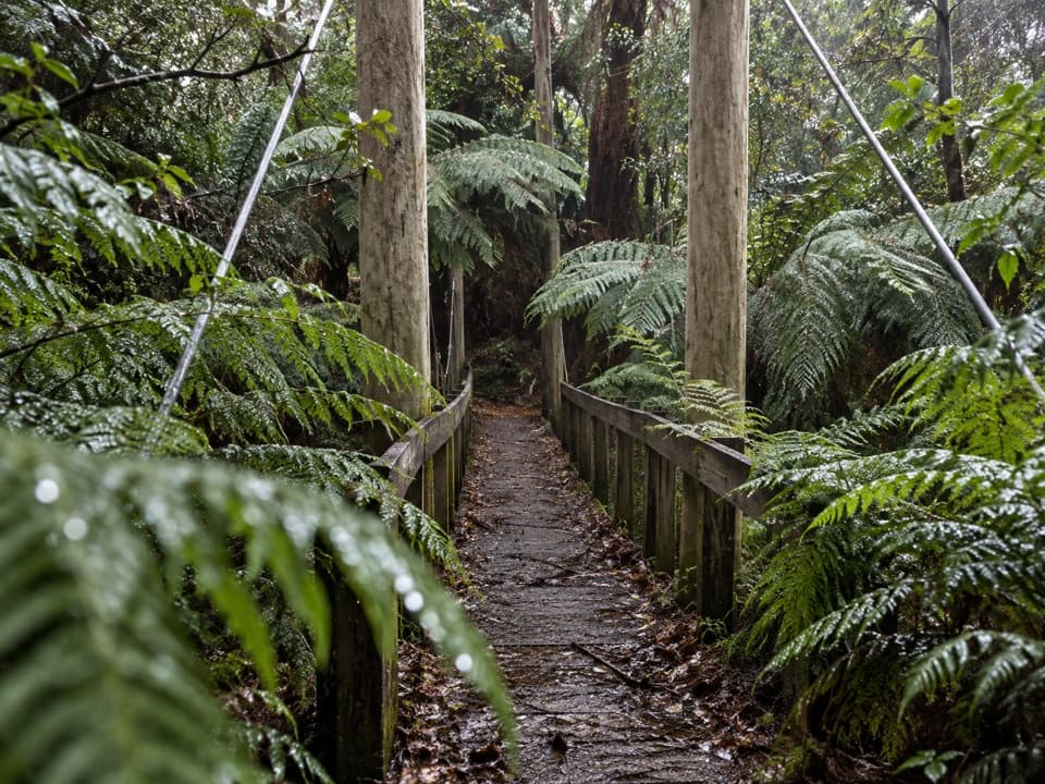 EasySheoak Picnic Ground Nature Walk1.3 km · 30 min · 1.5 km awayA fern-gully circuit with a suspension bridge over Sheoak Creek.
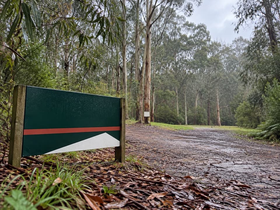 Campground · 0.2 km awayAllenvale CampgroundA leafy tent camp with a 230-metre walk for your gear.
 Sight · 1.2 km awayPhantom FallsA fern-lined climb ends at a 15-metre cascade.
 Sight · 1.4 km awayThe CanyonEight-metre rock walls hide in a ferny waterfall walk.
 Picnic area · 1.5 km awaySheoak Picnic AreaA shady picnic base for Lorne's inland waterfall walks.
 Sight · 1.7 km awayWon Wondah FallsA quick, wooded waterfall pause on the way to a stronger one.
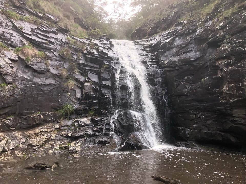 Sight · 1.9 km awaySheoak FallsA short, stepped walk to a waterfall that varies with the rain.
 Sight · 1.9 km awayTeddy's LookoutA short walk opens up the coast, river mouth and ocean.
 Sight · 1.9 km awaySwallow CaveA honeycombed shelter above Sheoak Creek's upper cascades.
Parkwolf’s Great Otway ranking

The audio tour guide for the drive, plus offline maps, trails, and wildlife heatmaps for when the signal drops.





