Parking
Start at Jamieson Creek Campground, reached from the Great Ocean Road via Jamieson Track. This is a one-way route; leave a pickup car at Separation Creek Car Park near the Olive Street finish, or plan to walk back.

Great Otway National Park, VIC
Short climbs trade forest shade for long coastal views.
Overview
Map & elevation
Plan your hike

The highest, rockiest slopes around here are a summer buffet for grizzly bears.
Great Otway Tour Guide
Parkwolf is a GPS audio tour guide for Great Otway National Park. As you drive, it chimes in with what’s ahead: hidden gems, upcoming stops, history, geology, and wildlife, right through your car’s speakers.
See the Great Otway audio tourRecorded for this trailhead
Jamieson Creek: A Simple Coastal Camp“Jamieson Creek Campground is coming up, an unpowered camp in eucalyptus woodland above the Great Ocean Road. Choose it for a simple coastal stay, with ocean views, a lookout and a short walk to the beach.”
Plays as you drive up to this trailhead in the Parkwolf Great Otway Tour Guide.
More stories near here in the app
“Fantastic app with many points of information… It’s great to just turn on while you’re driving and it gives you an audio tour of the national Park. We love it!!!!”


Trail guide
Jamieson Creek to Separation Creek is a 5.3 km one-way point-to-point walk from Jamieson Creek Campground to the Olive Street end of Separation Creek. Allow about 2½ hours. The route rises and dips through coastal forest above the Great Ocean Road, with short sharp climbs and sea views from higher points. Arrange a car shuttle between the campground and Separation Creek, or account for walking the route back. Paddy's Path continues toward Wye River as a separate coastal connection.
Several climbs are short but sharp. A steep run of stone steps leads to a creek crossing with large stepping stones; farther on, Bogalley Creek is usually passable but can become impassable after heavy rain. Take care on the steps and check water levels before setting out.
The first lookout at Jamieson Creek Campground faces the Southern Ocean, the Great Ocean Road and the mouth of the St George River. After Wye Track, gentler climbs pass wattle-dominated understorey and eucalypts recovering from the Christmas 2015 fire. Listen for Eastern Yellow Robins, Rufous Bristlebirds and Satin Bowerbirds. Fungi can be abundant at certain times of year.
Before descending the steps toward Olive Street, a headland view opens across the ocean, shore and Separation Creek. Pause here to frame the curve of beach with the wooded headland beyond. The starting campground has a shelter, toilets, picnic tables and gas barbecues. Dogs are not permitted on this national park route.
Wildlife
 204 sightingsKoalaMost seen around 6 PMSighting map
 35 sightingsGrey KangarooMost seen around 6 AMSighting map
 109 sightingsEchidnaMost seen around 5 PMSighting map
 58 sightingsKookaburraMost seen around 6 AMSighting map
 97 sightingsSwamp WallabyMost seen around 6 PMSighting map
 20 sightingsBrushtail PossumMost seen around 8 PMSighting map
Sighting maps show where each species has been reported across Great Otway. Wildlife moves, so no sighting is guaranteed.
Keep exploring
 ChallengingMount Defiance–Jamieson Creek Circuit22 km · 5.5 hr · 3.7 km awayA 22 km ridge circuit with a 4 km road return.
 ModerateCumberland Falls Walk6 km · 3 hr · 3.7 km awayA forested river walk with crossings and two small cascades.
 ModerateCumberland River–Jebb’s Pool Walk3 km · 1.5 hr · 3.8 km awayA fern-lined gorge walk ends at a cascade-fed pool.
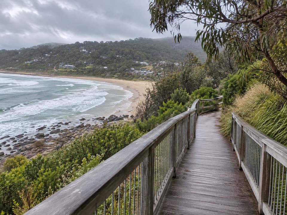 EasyPaddy’s Path0.8 km · 20 min · 4.6 km awayA timber boardwalk looks over Wye Beach from an old tramway line.
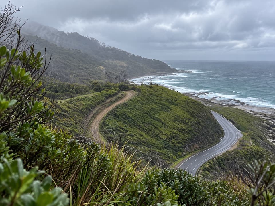 ModerateWye to Kennett River Walk5.5 km · 3 hr · 4.8 km awayCoastal views give way to ferny gullies and old mill country.
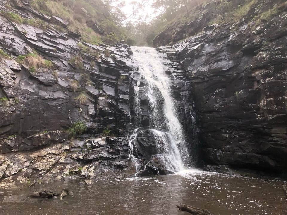 ModerateSheoak Falls and Swallow Cave Walk2.2 km · 1 hr · 5.2 km awaySteep creek steps lead to Sheoak Falls and Swallow Cave.
 ChallengingLorne Waterfalls: Canyon and Castle Rock Circuit23.4 km · 7.5 hr · 5.2 km awayA long waterfall loop with a coastal lookout and ferny canyon.
 ModerateSheoak Falls–Castle Rock Circuit9 km · 3.5 hr · 5.3 km awayA creekside loop links a swallow cave, waterfall and ocean lookout.
 Campground · At the trailheadJamieson Creek CampgroundA 24-site coastal camp, with ocean views and a short beach walk.
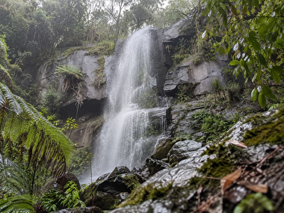 Sight · 4.2 km awayUpper Kalimna FallsA long forest walk leads to cascades above Lower Kalimna Falls.
 Sight · 4.2 km awayJebbs PoolA leafy gorge walk ends at cascades and a river poolSight · 4.3 km awayLower Kalimna FallsA waterfall pours from a rock ledge you can stand behind.
 Sight · 5.2 km awaySwallow CaveA honeycombed shelter above Sheoak Creek's upper cascades.Sight · 5.4 km awaySheoak FallsA short, stepped walk to a waterfall that varies with the rain.
 Picnic area · 5.4 km awaySheoak Picnic AreaA shady picnic base for Lorne's inland waterfall walks.
 Sight · 5.7 km awayWon Wondah FallsA quick, wooded waterfall pause on the way to a stronger one.
Parkwolf’s Great Otway ranking

The audio tour guide for the drive, plus offline maps, trails, and wildlife heatmaps for when the signal drops.





