Parking
Small car park on the inland side of the Great Ocean Road at the St George River mouth; the grassy track starts from the open flats.

Great Otway National Park, VIC
Fern-lined riverbanks, a wooded climb and an ocean-facing finish.
Overview
Map & elevation
Plan your hike

The highest, rockiest slopes around here are a summer buffet for grizzly bears.
Great Otway Tour Guide
Parkwolf is a GPS audio tour guide for Great Otway National Park. As you drive, it chimes in with what’s ahead: hidden gems, upcoming stops, history, geology, and wildlife, right through your car’s speakers.
See the Great Otway audio tourRecorded for this trailhead
St George River: The River and Ocean Loop“You're approaching the St George River mouth, where a two-hour loop starts on the inland side of the Great Ocean Road. Choose this walk for fern-lined riverbanks and rocky pools, with an ocean view on the final descent.”
Plays as you drive up to this trailhead in the Parkwolf Great Otway Tour Guide.
More stories near here in the app
“Fantastic app with many points of information… It’s great to just turn on while you’re driving and it gives you an audio tour of the national Park. We love it!!!!”


Trail guide
This moderate 5.5 km (3.4 mi) loop starts and finishes at the St George River mouth; allow about two hours. It climbs via Ocean Walk to Allenvale Road, then returns beside the river. Fern-lined banks, rocky pools and an ocean view on the final descent reward the uphill sections.
From the small car park on the inland side of the Great Ocean Road, follow the grassy track over the river-mouth flats to the Cherry Tree Creek bridge. Turn right onto Ocean Walk. About 1.5 km later, both branches reach Allenvale Road; take the right-hand branch for the less strenuous option. Turn left downhill along the road toward Allenvale Mill car park.
Take St George River Track from Allenvale Mill car park. The mostly gentle return follows fern-lined banks past rocky pools and tall eucalypts. It includes a low river crossing that is unsafe at high water. After crossing, follow the track back to Cherry Tree Creek bridge and retrace your approach; the last downhill stretch opens to ocean views.
Dogs are permitted on lead on the marked Ocean Walk and St George River walk sections. Keep them leashed on both parts of the circuit.
Wildlife
 204 sightingsKoalaMost seen around 6 PMSighting map
 35 sightingsGrey KangarooMost seen around 6 AMSighting map
 109 sightingsEchidnaMost seen around 5 PMSighting map
 58 sightingsKookaburraMost seen around 6 AMSighting map
 97 sightingsSwamp WallabyMost seen around 6 PMSighting map
 20 sightingsBrushtail PossumMost seen around 8 PMSighting map
Sighting maps show where each species has been reported across Great Otway. Wildlife moves, so no sighting is guaranteed.
Keep exploring
 ModerateSt George River Walk4.9 km · 1.8 hr · 1.5 km awayA riverside out-and-back from Allenvale Mill to the Great Ocean Road.
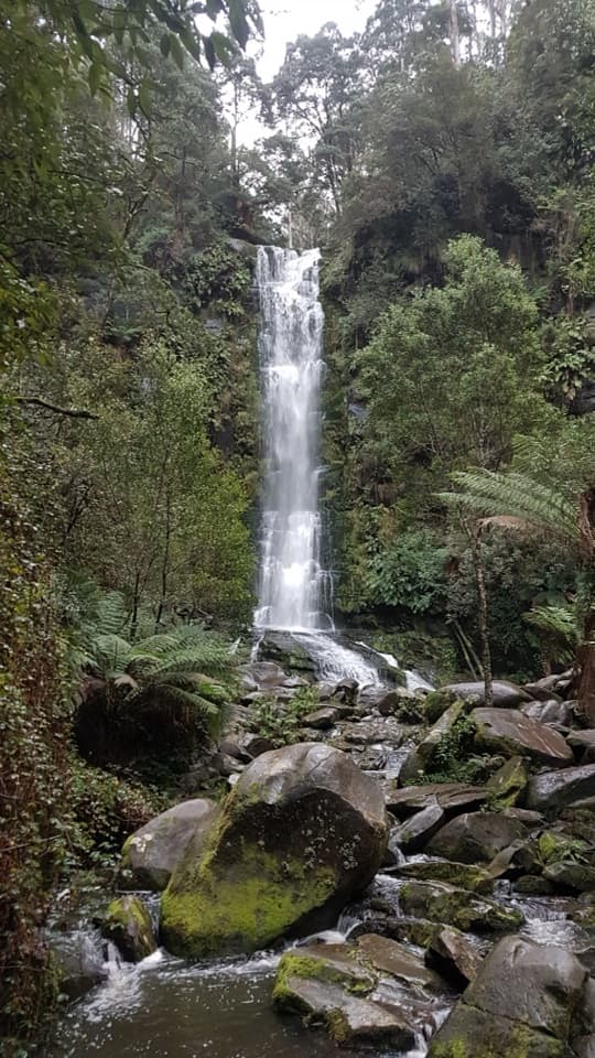 ChallengingErskine Falls Circuit Walk23 km · 8 hr · 1.6 km awayFive waterfalls, repeated creek crossings, and a full Lorne loop.
 ModerateAllenvale to Phantom Falls Walk3.4 km · 1.3 hr · 1.6 km awayA short climb ends at a rain-fed cascade above the river.
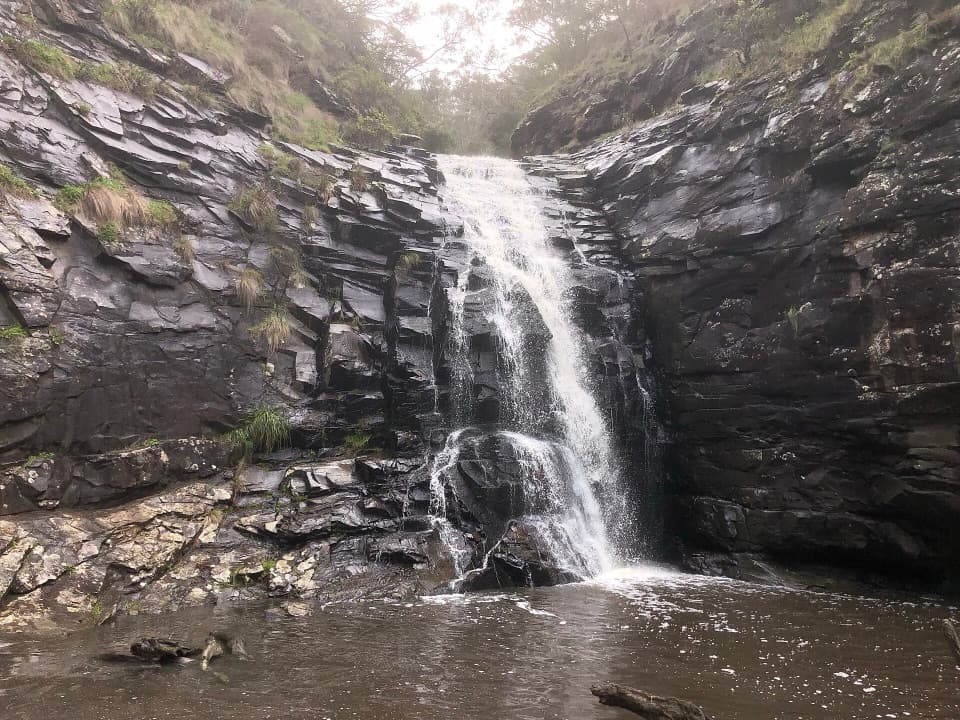 ModerateSheoak Falls and Swallow Cave Walk2.2 km · 1 hr · 1.9 km awaySteep creek steps lead to Sheoak Falls and Swallow Cave.
 ChallengingLorne Waterfalls: Canyon and Castle Rock Circuit23.4 km · 7.5 hr · 1.9 km awayA long waterfall loop with a coastal lookout and ferny canyon.EasyLower Kalimna Falls Walk6.5 km · 2.5 hr · 2.8 km awayA modest waterfall with a view from behind the falling water
 ModerateSheoak Falls–Castle Rock Circuit9 km · 3.5 hr · 2.8 km awayA creekside loop links a swallow cave, waterfall and ocean lookout.
 ModeratePhantom Falls and The Canyon Circuit9.2 km · 3.5 hr · 2.9 km awayThree waterfalls, fern forest and a ten-metre rock cleft.
 Sight · 0.3 km awayTeddy's LookoutA short walk opens up the coast, river mouth and ocean.
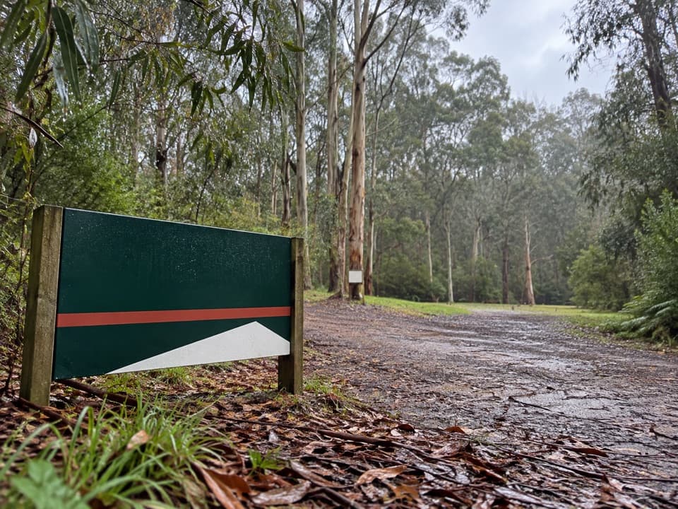 Campground · 1.5 km awayAllenvale CampgroundA leafy tent camp with a 230-metre walk for your gear.Sight · 1.7 km awaySheoak FallsA short, stepped walk to a waterfall that varies with the rain.
 Sight · 1.9 km awaySwallow CaveA honeycombed shelter above Sheoak Creek's upper cascades.
 Visitor center · 1.9 km awayLorne Visitor Information CentreFree waterfall guides make this a smart first Lorne stop.
 Sight · 2.8 km awayPhantom FallsA fern-lined climb ends at a 15-metre cascade.
 Picnic area · 2.8 km awaySheoak Picnic AreaA shady picnic base for Lorne's inland waterfall walks.
 Sight · 3 km awayThe CanyonEight-metre rock walls hide in a ferny waterfall walk.
Parkwolf’s Great Otway ranking

The audio tour guide for the drive, plus offline maps, trails, and wildlife heatmaps for when the signal drops.





