Parking
Park at the end of Lakeview Drive beside the tunnel; the trail access has 12 spaces. A parking tag is required for stays over 15 minutes. The nearest restrooms are at Deep Creek Picnic Area or outside the park.
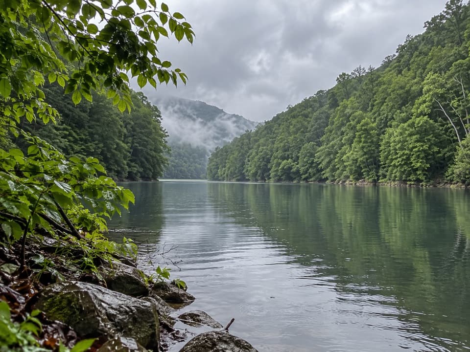
Great Smoky Mountains National Park, TN · NC
Two connected loops save a steep Fontana Lake climb for last.
Overview
Map & elevation
Plan your hike

The highest, rockiest slopes around here are a summer buffet for grizzly bears.
Great Smoky Mountains Tour Guide
Parkwolf is a GPS audio tour guide for Great Smoky Mountains National Park. As you drive, it chimes in with what’s ahead: hidden gems, upcoming stops, history, geology, and wildlife, right through your car’s speakers.
See the Great Smoky Mountains audio tourRecorded for this trailhead
Lakeview Drive Tunnel“You're nearing Lakeview Drive Tunnel, where the Road to Nowhere ends for cars and continues on foot. The twelve-hundred-foot passage is unlit, so take a flashlight or use your phone light.”
Plays as you drive up to this trailhead in the Parkwolf Great Smoky Mountains Tour Guide.
More stories near here in the app
“Fantastic app with many points of information… It’s great to just turn on while you’re driving and it gives you an audio tour of the national Park. We love it!!!!”


Trail guide
This roughly 10-mile double loop starts and finishes at the end of Lakeview Drive. It links Lakeshore, Forney Creek, Whiteoak Branch and Goldmine Loop, then returns by Tunnel Bypass. Expect about seven hours on wooded, rolling trails, with muddy and rocky stretches and the steepest climb late in the day. Published descriptions differ: one gives the full combination as 10.5 miles, while the mapped trail line measures 9.86. Plan for about ten miles. This is a route assembled from several trails, not one separately marked park loop, so save the route for offline use and pay attention at junctions. If the Goldmine climb feels like too much after the first loop, stay on Lakeshore at the Goldmine junction to return in about 8.5 miles.
The route begins at the mouth of Lakeview Drive Tunnel. The pedestrian tunnel is about 1,200 feet long and unlit, so bring a light. On the Lakeshore Trail, the paved surface gives way to dirt about half a mile in. Short climbs and switchbacks cross a low ridge before a longer descent leads toward Forney Creek. This stretch is mostly a quiet woodland walk; despite the trail's name, it does not follow the lake or offer lake views. The cove comes later, after the first loop and another stretch of Lakeshore.
The Forney Creek section follows the creek through a corridor that partly uses an old road. Potholes and standing water can make this stretch muddy, and the track narrows again near the connection to Whiteoak Branch. After the Bear Creek junction, the route leaves the road on a short, steeper climb. Keep following the connector to Whiteoak Branch rather than continuing farther down Forney Creek.
Whiteoak Branch starts with its roughest footing: water can run down the trail, and the rocky, muddy tread feels like an old creek bed. The route rolls over several short rises, then eases into less rocky walking and descends back to Lakeshore. From there, follow the shared Lakeshore segment toward Goldmine Loop. This connector is the transition between the creek loop and the lake cove loop, so take a moment to confirm the junction before setting off on the final section.
Goldmine Loop drops steeply into a valley, follows Goldmine Branch through rhododendron, and reaches a narrow finger of Fontana Lake. The wooded cove is the route's defining view, but the waterline changes with the reservoir level; old stonework may show when the lake is low and should not be expected. The return climb is strenuous after several miles of hiking. Watch for the sharp turn onto the switchbacks as the trail leaves the cove, and take care on the narrower ridge above. If you skip Goldmine Loop and continue on Lakeshore, the shorter version returns to the car at roughly 8.5 miles.
Lakeview Drive ends at a tunnel that was built as part of the unfinished North Shore Road project. When Fontana Lake formed, the 1943 agreement that transferred land for the dam and lake also promised a road along the north shore, intended to reconnect displaced families with cemeteries and other community sites. Construction began in the 1960s but stopped in 1972 because of unstable slopes, high costs and environmental concerns. A $52 million settlement was agreed in 2007, with payments completed by 2017. Walking through the tunnel is a direct encounter with that unfinished promise; the route uses Tunnel Bypass on its return.
Park at the end of Lakeview Drive, beside the tunnel. The trail access has 12 parking spaces, and a parking tag is required when you park for more than 15 minutes. There is no restroom at the trailhead; the nearest facilities are at Deep Creek Picnic Area or outside the park. Bring enough food and water for a full day, and leave pets at home because pets are not allowed on this route.
Wildlife
 1,567 sightingsBlack BearMost seen around 7 PMSighting map
 899 sightingsElkMost seen around 7 AMSighting map
 13 sightingsBald EagleMost seen around 9 AMSighting map
 142 sightingsTimber RattlesnakeMost seen around 6 PMSighting map
 26 sightingsBobcatMost seen around 8 PMSighting map
 42 sightingsRiver OtterMost seen around 7 AMSighting map
Sighting maps show where each species has been reported across Great Smoky Mountains. Wildlife moves, so no sighting is guaranteed.
Keep exploring
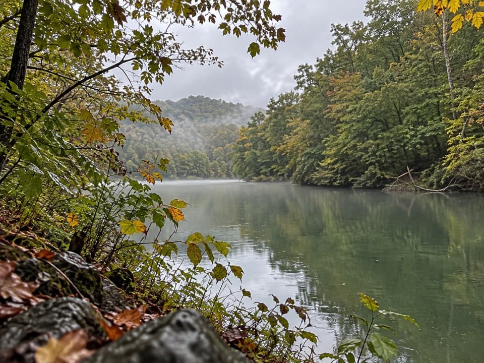 ModerateGoldmine Loop Trail4.5 mi · 2.5 hr · At the trailheadA loop through old homesites to a Fontana Lake cove.
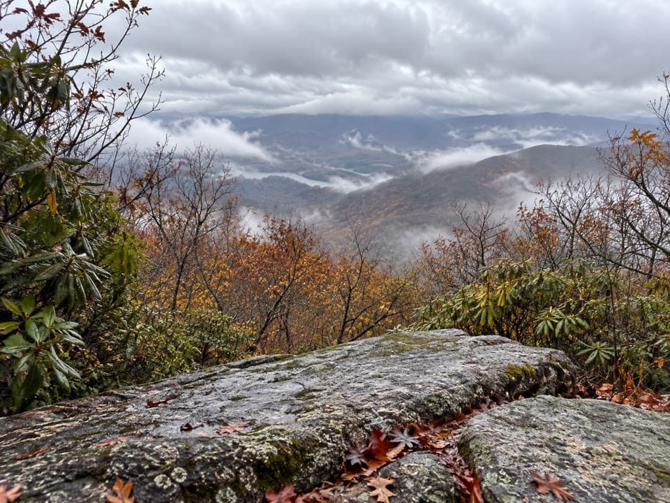 ChallengingHigh Rocks Trail19.4 mi · 11.5 hr · At the trailheadLong backcountry climb to a former fire tower site above Fontana Lake.
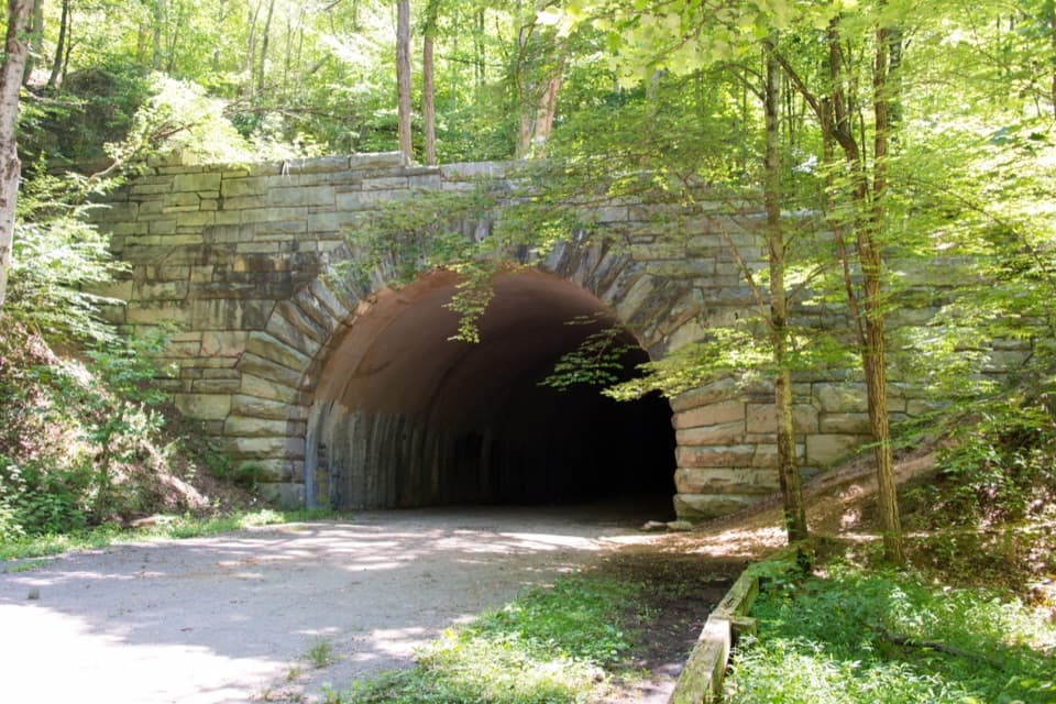 ChallengingLakeshore Trail34.2 mi · 18 hr · At the trailheadA 34-mile backcountry crossing through the woods above Fontana Lake
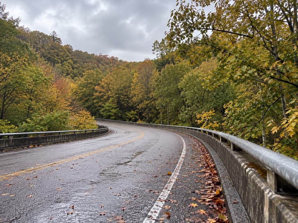 ChallengingNoland Creek Trail18.3 mi · 12 hr · 0.6 mi awayA long creekside road walk past traces of old Northshore life.
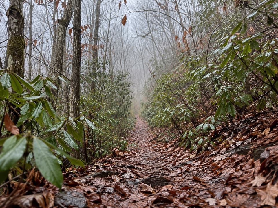 ChallengingBear Creek Trail5.9 mi · 5 hr · 1.9 mi awayA steep old grade climbs from Forney Creek into high backcountry.
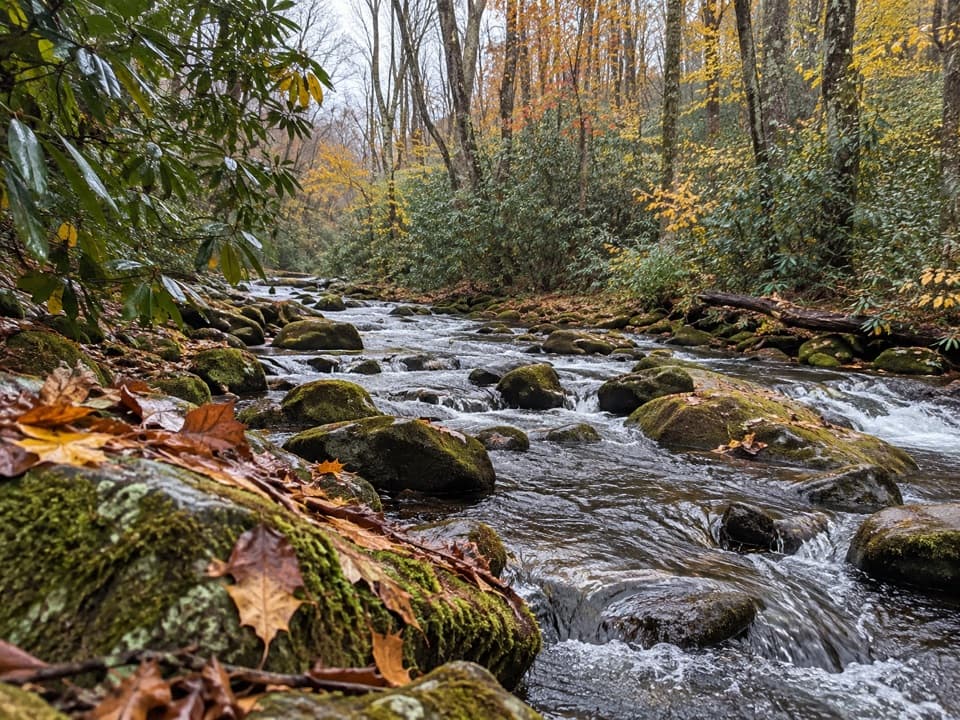 ModerateSpringhouse Branch Trail6.9 mi · 4.5 hr · 3 mi awayA backcountry link between Forney Creek and Noland Creek.
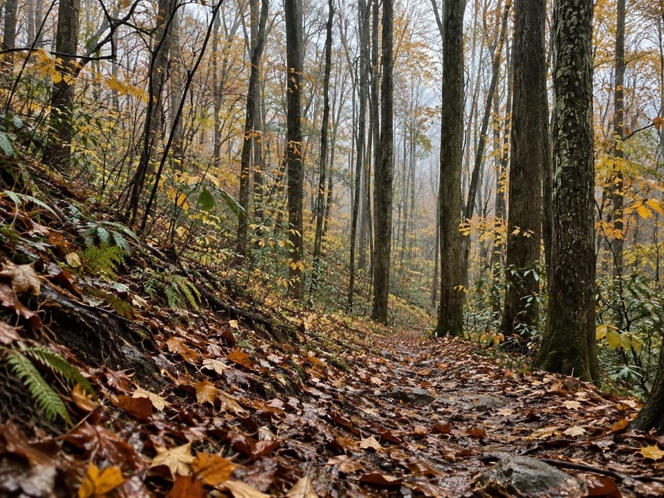 ChallengingJonas Creek Trail4.1 mi · 4 hr · 3.9 mi awayCreek crossings first, then a steep climb to Welch Ridge.
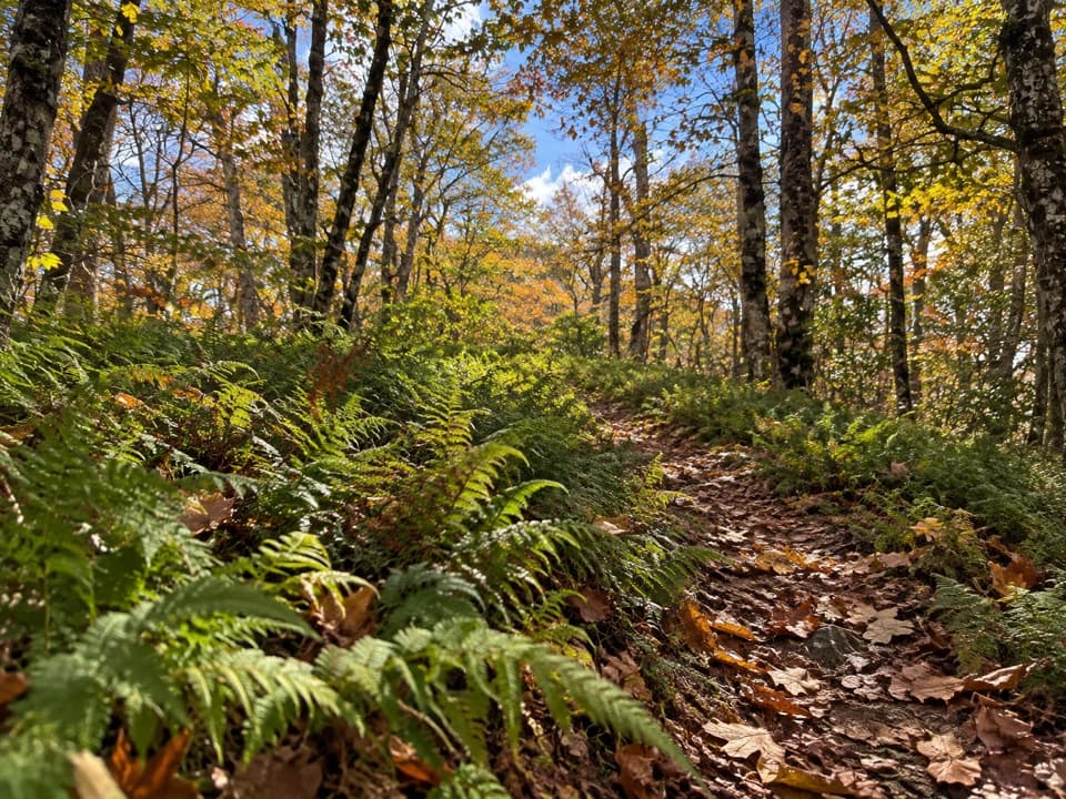 ModerateWelch Ridge Trail6.3 mi · 4.5 hr · 5.2 mi awayA remote fern ridge with an optional High Rocks fire-tower detour.
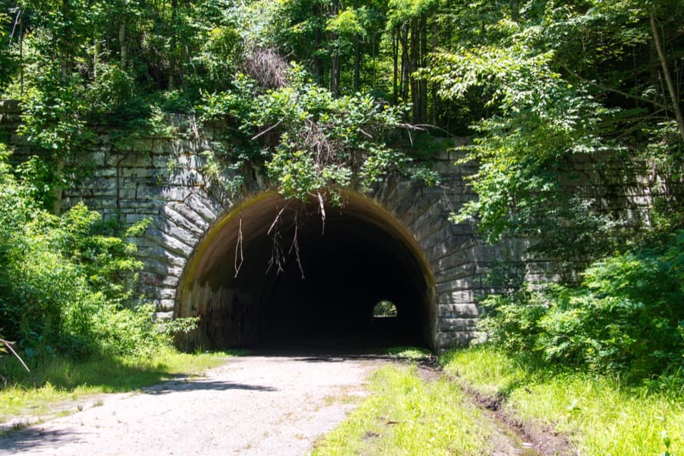 Sight · 0.1 mi awayLakeview Drive TunnelWalk a 1,200-foot tunnel on a road that never reached its end.
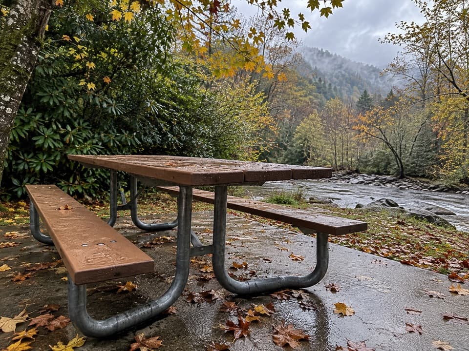 Picnic area · 5.6 mi awayDeep Creek Picnic AreaCreekside shade, charcoal grills, and waterfall walks in one stop.
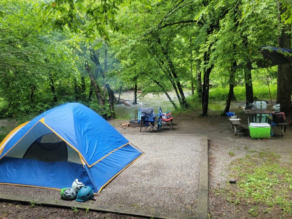 Campground · 5.8 mi awayDeep Creek CampgroundCreekside camping puts waterfalls and tubing within easy reach.
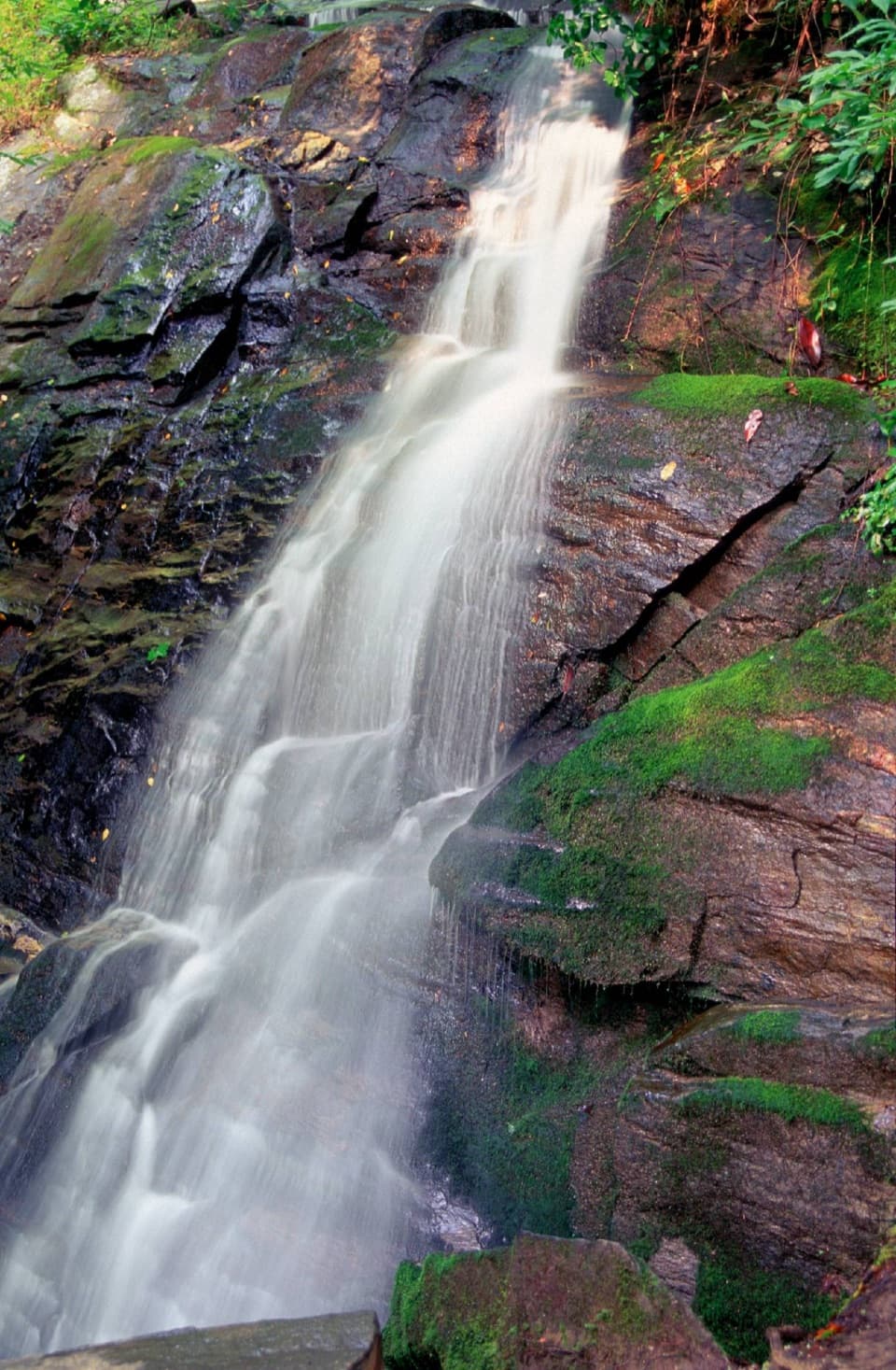 Sight · 5.8 mi awayJuney Whank FallsCross a footbridge for an unusually close look at both waterfall tiers.
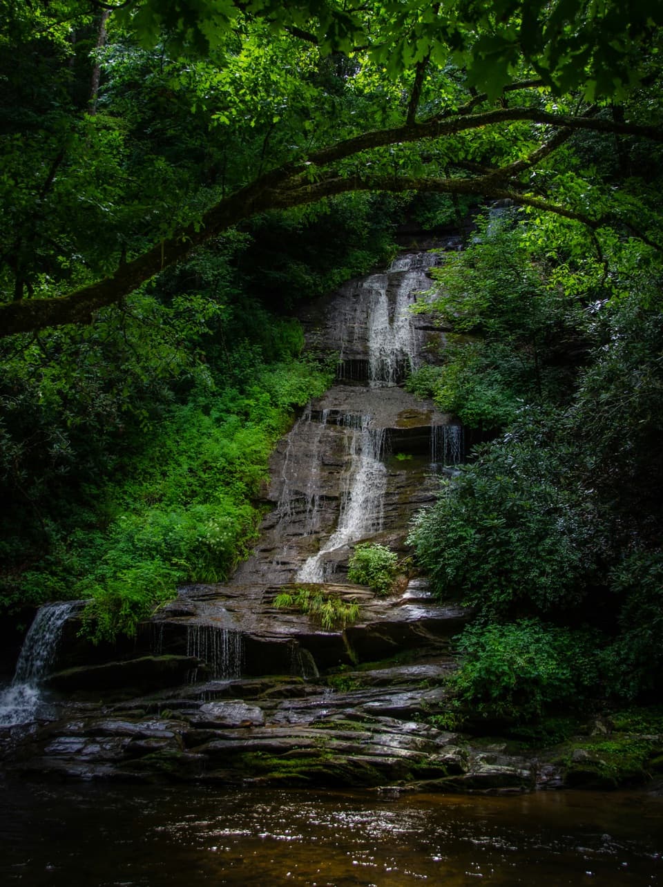 Sight · 6.1 mi awayTom Branch FallsFront-row benches across from tiered falls, after an easy walk.
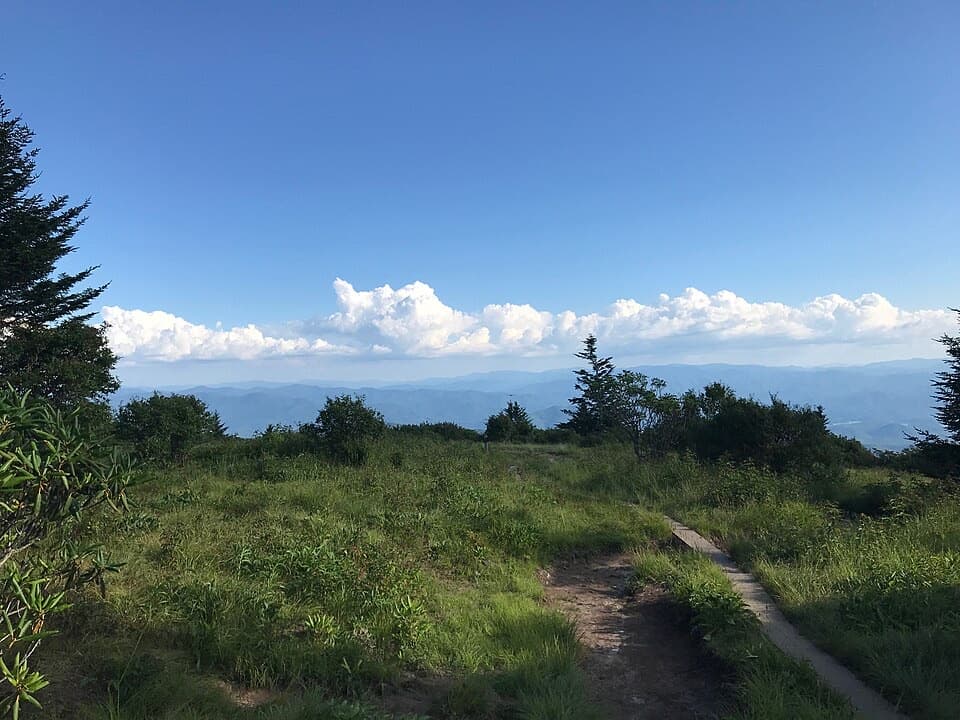 Sight · 6.3 mi awayAndrews BaldAn open mountain meadow with a 3.6-mile hike and a steep return.
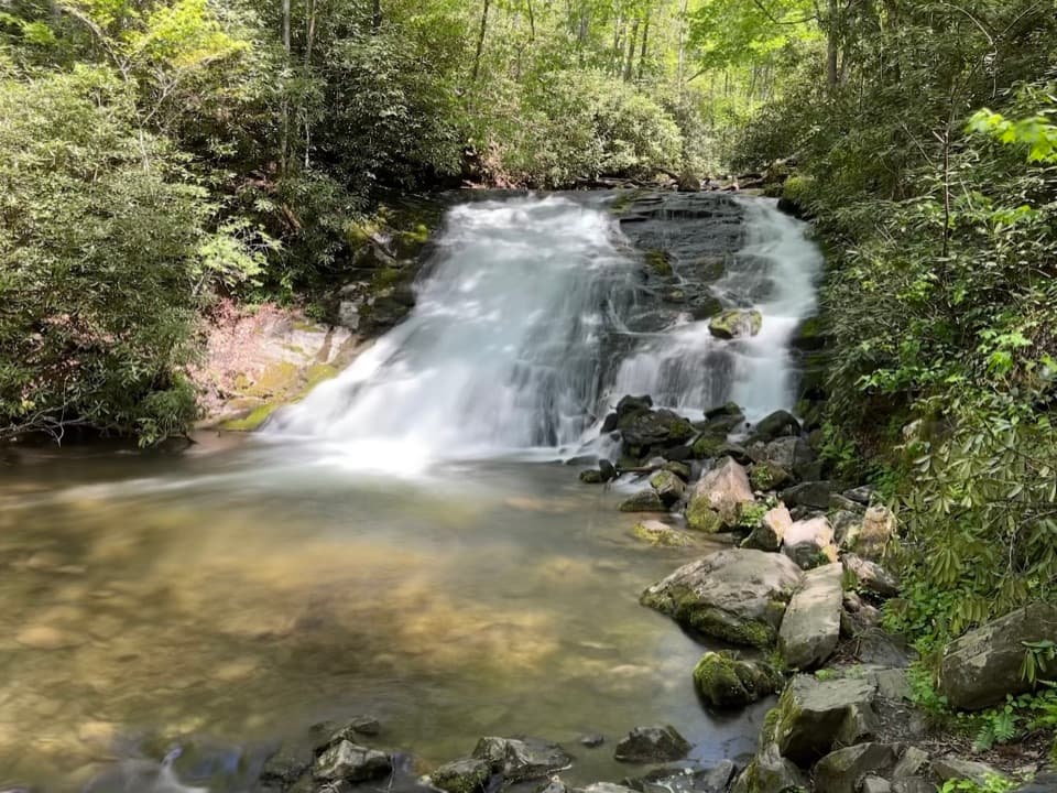 Sight · 6.3 mi awayIndian Creek FallsA creekside walk to two falls, ending at a broad 25-foot cascade.
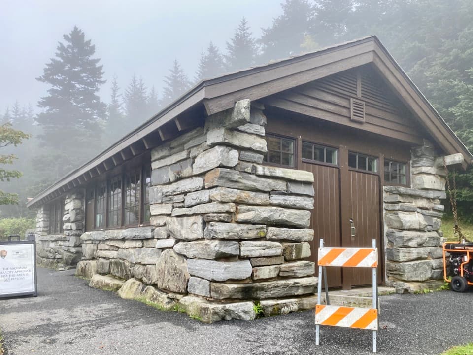 Visitor center · 7.2 mi awayKuwohi Visitor CenterA stone-built visitor stop and small shop before the Kuwohi climb.
Parkwolf’s Great Smoky Mountains ranking

The audio tour guide for the drive, plus offline maps, trails, and wildlife heatmaps for when the signal drops.





