Challenging

Lakeshore Trail

Remote Smokies traverse with history, creeks, and hard-earned miles
Lakeshore Trail, Great Smoky Mountains National Park
Distance30.7 mi
Typical time13.8 hr
DifficultyChallenging
PetsNot allowed

Overview

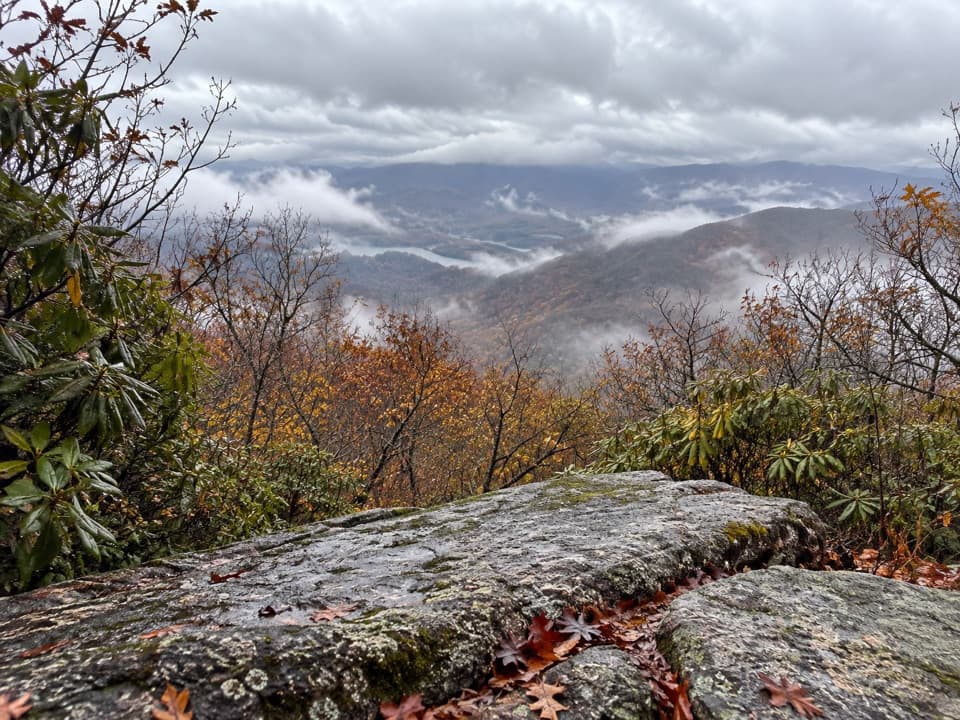
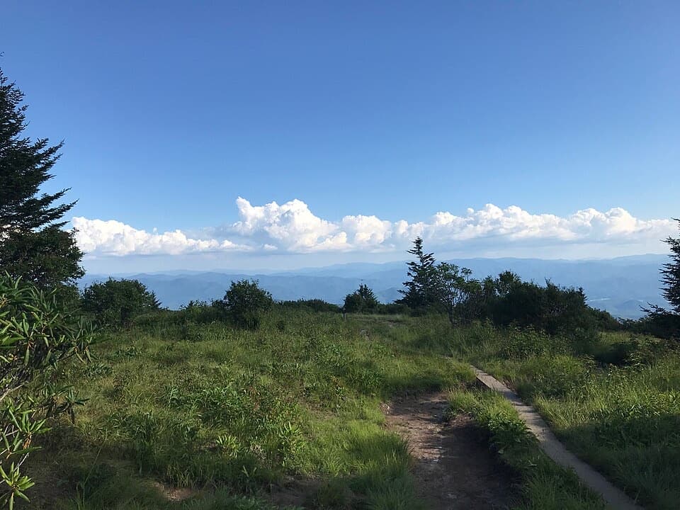
The Lakeshore Trail is a demanding north-shore traverse along Fontana Lake, best tackled by strong hikers and backpackers who like big mileage and a remote feel. The classic point-to-point runs about 30.7 miles one way with roughly 4,700 feet of total gain. Expect rolling “up-and-down” singletrack through deep forest, steady climbs, and a surprising amount of time away from the actual lakeshore.

Route Options

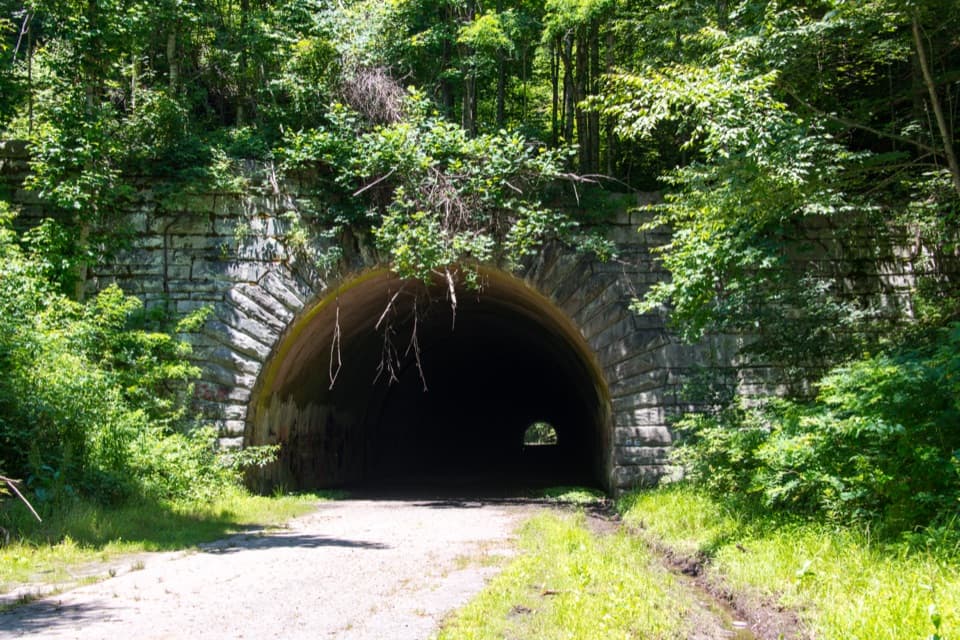
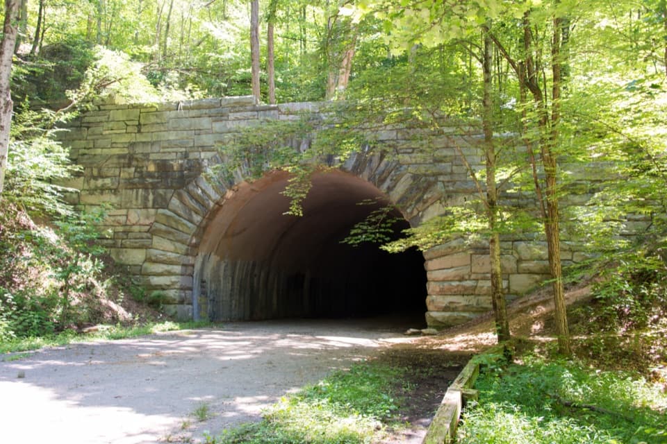
Most people hike point-to-point between Fontana Dam and the tunnel on Lakeshore Drive (the “Road to Nowhere”), but you can also craft robust loops by linking nearby trails. A popular challenge is a 46.4-mile loop (total distance) with around 7,900 feet of gain—rocky, repetitive ups and downs, and a real workout. If you’re short on time, consider an out-and-back toward Proctor to explore the Hazel Creek area’s history rather than committing to the full traverse.

What You’ll See

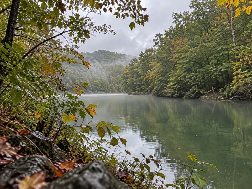
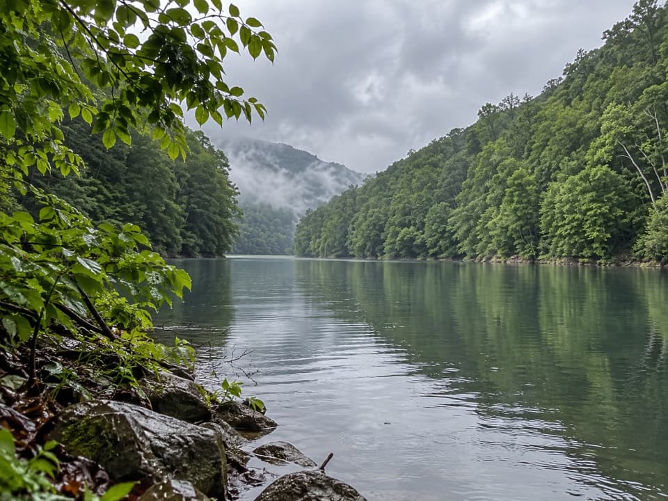
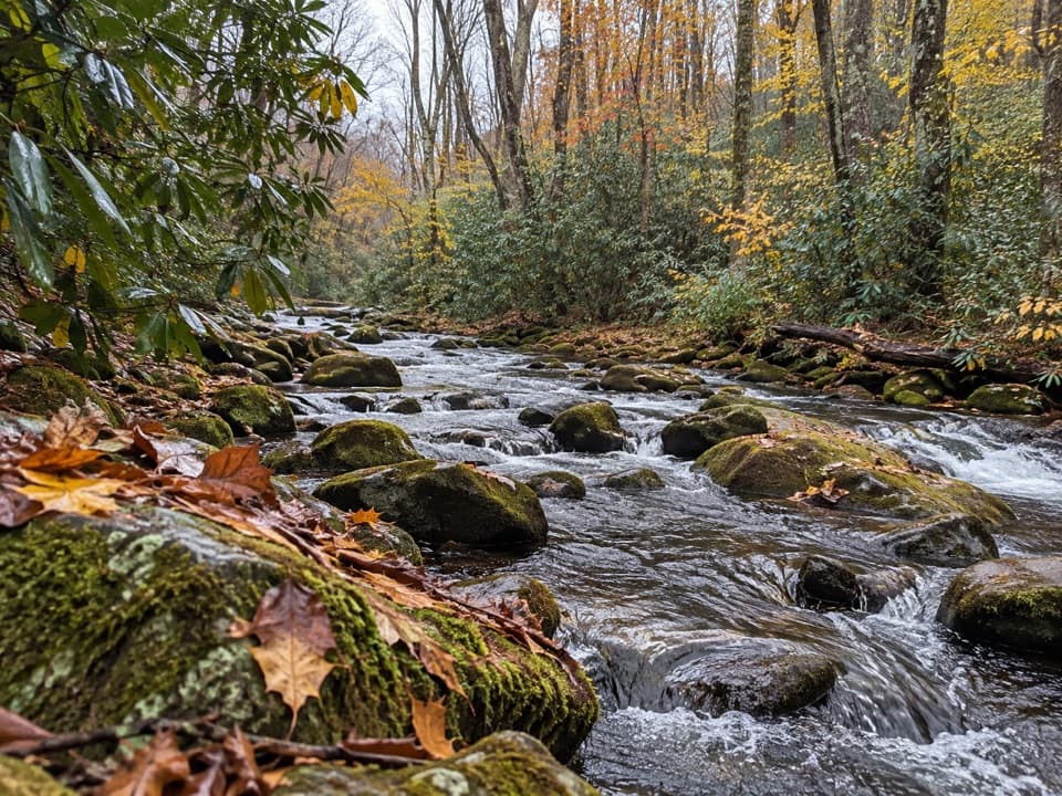
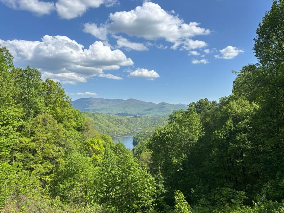
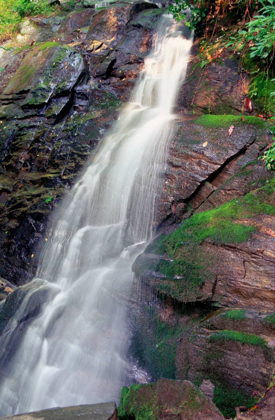
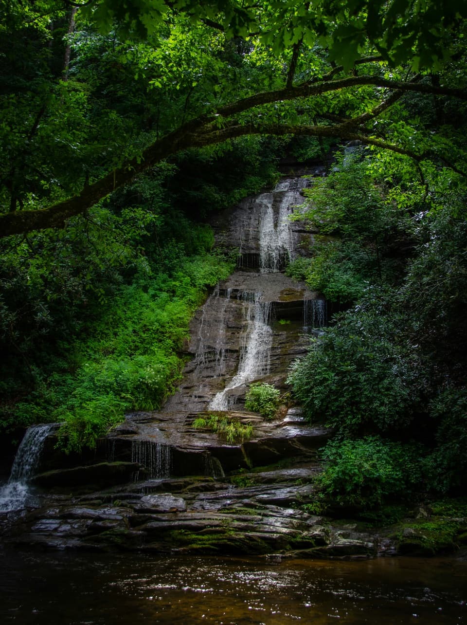
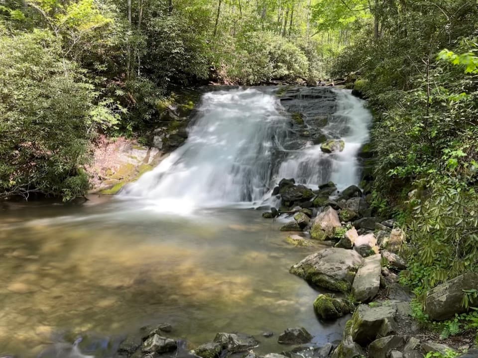
You’ll likely start by walking across Fontana Dam—an iconic opener—before settling into forested miles with filtered lake views. The corridor passes historic remnants from pre-Fontana communities, especially around Proctor and Hazel Creek, where old roadbeds, foundations, cemeteries, and notable structures tell the story of towns displaced by the lake. Big creeks and sturdy bridges (think Eagle Creek and Hazel Creek) break up the rhythm and offer classic Smokies creek scenery. In late spring, mountain laurel lights up the slopes with blooms.

Trail Character and Conditions

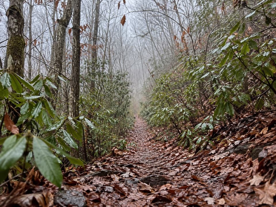
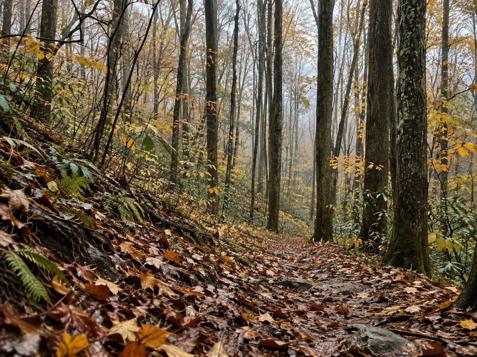
The tread can be rocky with slanted, narrow sections. Junctions are blazed but not always obvious; some hikers get turned around in the early miles, so bring a map/GPX and pay attention. The lake may look close on the map, but access from the trail is often tricky. Reviews note generally good maintenance, yet conditions change—downed trees, heat, and bugs are all part of the deal. Wildlife is a real presence here; bears, rattlesnakes, bobcats, and deer have all been seen, and wild boar sign isn’t uncommon. Give animals space and stay alert.

Water, Camping, and Logistics

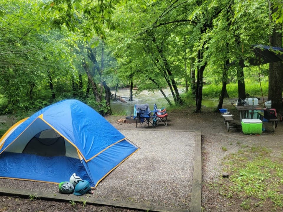
Water is typically abundant thanks to numerous springs and streams, especially after rain, but sources can dry up in fall. Carry a filter and plan conservatively; check current conditions with rangers if your itinerary depends on smaller flows. The route is tailor-made for backpacking, with designated backcountry sites that require reservations. Some hikers shortcut access by taking a boat shuttle across Fontana Lake to Proctor for section hikes.

Best Time to Hike

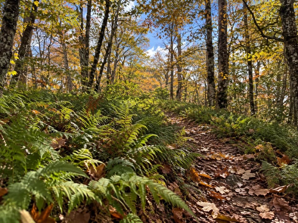
The trail is hikeable year-round, but the best window for most hikers is late spring through fall, with May–October offering the most reliable conditions. Spring brings flowers (and bugs); summer heat and stinging insects can be intense—start early and carry more water than you think you’ll need. Fall is cooler and beautiful, but smaller water sources may dwindle. Weekdays see lighter traffic; regardless of season, expect a quieter backcountry experience than many marquee park trails.

Safety and Preparation

This is a long, remote outing with limited cell coverage. Navigation isn’t difficult if you’re prepared, but complacency is punished. Heat, insects (including yellow jackets), and sustained climbs add up over the miles. Pack a filter, extra calories and water capacity, sun and bug protection, and a reliable map/GPX. Dogs aren’t allowed on this trail. If you’re parking more than a quick stop, make sure you have the required park parking tag, and secure your backcountry permits for any overnight plan.

Pros

  • Historic relics from pre-Fontana communities near Proctor
  • Big creek corridors provide frequent, reliable water filtering

Cons

  • Lake is surprisingly hard to reach from the trail
  • Blazed but occasionally confusing junctions and slanted, narrow tread

Parking

Park at Fontana Dam (west end) or the Lakeshore Drive tunnel lot near Bryson City (east end). A park parking tag is required for vehicles left more than a brief stop. Some hikers arrange a boat shuttle across Fontana Lake to Proctor and park at access points like Cable Cove.

Caution

Long, remote miles with heat, bugs, and steep, slanted tread; navigation can be confusing at a few junctions; wildlife (including bears and rattlesnakes) is common; water sources can dry up in fall; limited lake access despite proximity; backcountry permits and parking tag required.

The Parkwolf tour guide sitting on a phone mounted in a car

Parkwolf Tour Guide

Like a tour guide in your car.

Bring Great Smoky Mountains trail research into the car, with offline maps and stories that play as you drive.Download Parkwolf on the App Store