Parking
Paved Noland Creek Trailhead parking area off Lakeview Drive near the creek bridge; accessible spaces are available. Use this access for the northbound corridor, not the separate Noland Divide Trailhead.
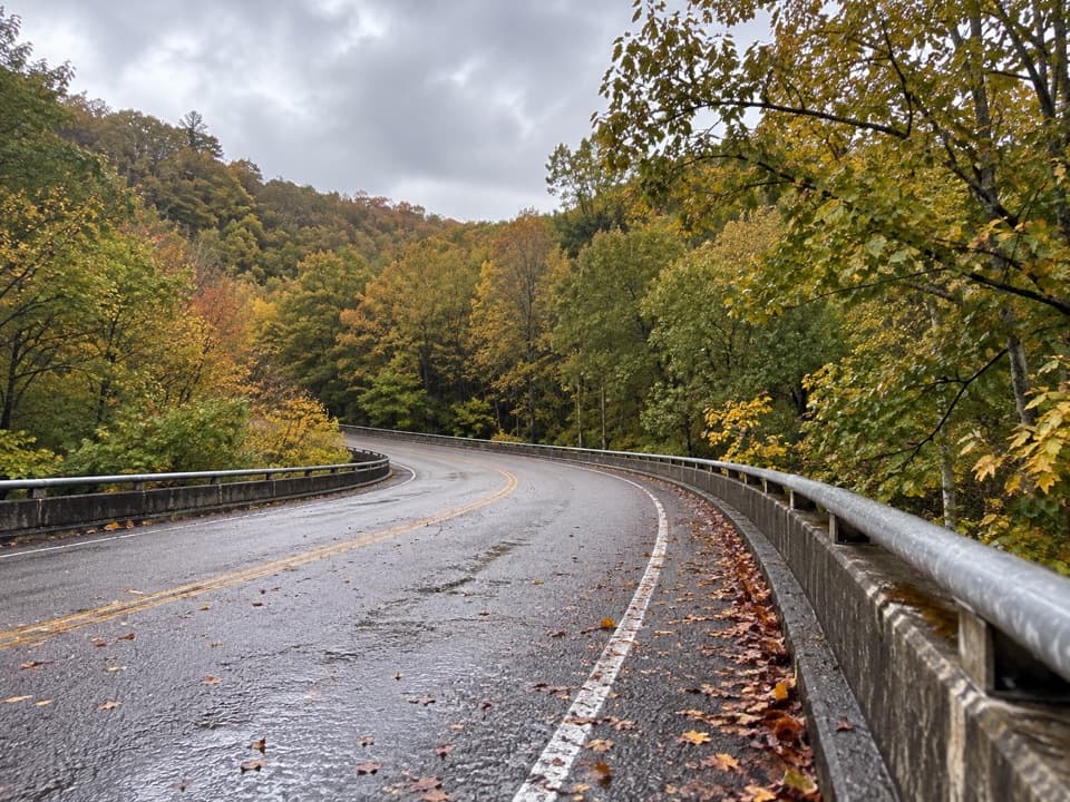
Great Smoky Mountains National Park, TN · NC
A long creekside road walk past traces of old Northshore life.
Overview
Map & elevation
Plan your hike

The highest, rockiest slopes around here are a summer buffet for grizzly bears.
Great Smoky Mountains Tour Guide
Parkwolf is a GPS audio tour guide for Great Smoky Mountains National Park. As you drive, it chimes in with what’s ahead: hidden gems, upcoming stops, history, geology, and wildlife, right through your car’s speakers.
See the Great Smoky Mountains audio tourRecorded for this trailhead
Noland Creek Trailhead“You're nearing Noland Creek Trailhead, where a broad former gravel road follows the wooded creek.”
Plays as you drive up to this trailhead in the Parkwolf Great Smoky Mountains Tour Guide.
More stories near here in the app
“Fantastic app with many points of information… It’s great to just turn on while you’re driving and it gives you an audio tour of the national Park. We love it!!!!”


Trail guide
Noland Creek Trail is an 18.3-mile out-and-back from Lakeview Drive to the Noland Divide Trail junction and back. It follows a former gravel road beside Noland Creek and climbs about 2,300 feet toward the divide. The road is broad and the grade is steady, but 9.1 miles each way makes this a hard, all-day hike; plan around 12 hours and turn around earlier if that is too much.
From the Noland Creek Trailhead, the route quickly leaves the road and follows the wooded creek corridor. The old gravel tread is easier underfoot than a narrow mountain path, with sycamore and beech along the water and several bridges across the creek. It keeps climbing toward the upper junction rather than making a short loop; the return is the same way.
The valley holds quiet traces of the communities that lived here before the park: boxwoods mark an old homesite, and a narrow, steep side path reaches a cemetery. Farther along are the concrete base and supports of a small hydroelectric plant, a school site, a stone wall and Branton Cemetery, where 29 graves are recorded. These remnants are easy to pass, so slow down when you reach them and stay on established paths.
Lakeview Drive is the unfinished North Shore road often called the Road to Nowhere. The planned road ended in the backcountry after Fontana Dam flooded North Shore communities; the trail follows part of that old access corridor.
A local route account describes an 8.4-mile round trip to Campsite 64 as a shorter northern outing. The separate walk south from Lakeview Drive toward Fontana Lake is about 2 miles round trip, but high lake water can cover its creek-mouth approach. That is a different direction from the mapped northern hike, and the shoreline is not a dependable through-route.
Start at the paved Noland Creek Trailhead parking area on Lakeview Drive; accessible spaces are available. Food, potable water and toilets were not verified at the trailhead, so carry what you need for the day. Dogs are not allowed on this trail. Overnight stays at backcountry campsites require a reservation and permit; those rules do not describe a day hike.
Wildlife
 1,569 sightingsBlack BearMost seen around 7 PMSighting map
 900 sightingsElkMost seen around 7 AMSighting map
 13 sightingsBald EagleMost seen around 9 AMSighting map
 142 sightingsTimber RattlesnakeMost seen around 6 PMSighting map
 26 sightingsBobcatMost seen around 8 PMSighting map
 42 sightingsRiver OtterMost seen around 7 AMSighting map
Sighting maps show where each species has been reported across Great Smoky Mountains. Wildlife moves, so no sighting is guaranteed.
Keep exploring
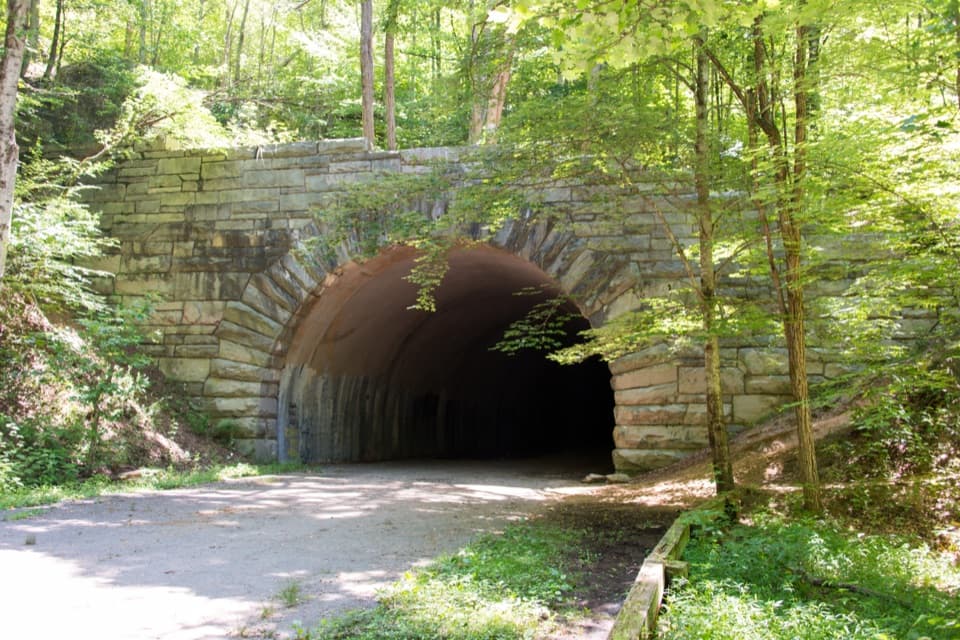 ChallengingLakeshore Trail34.2 mi · 18 hr · 0.6 mi awayA 34-mile backcountry crossing through the woods above Fontana Lake
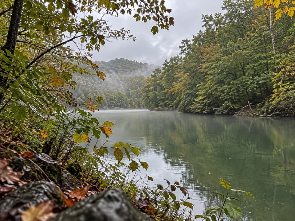 ModerateGoldmine Loop Trail4.5 mi · 2.5 hr · 0.6 mi awayA loop through old homesites to a Fontana Lake cove.
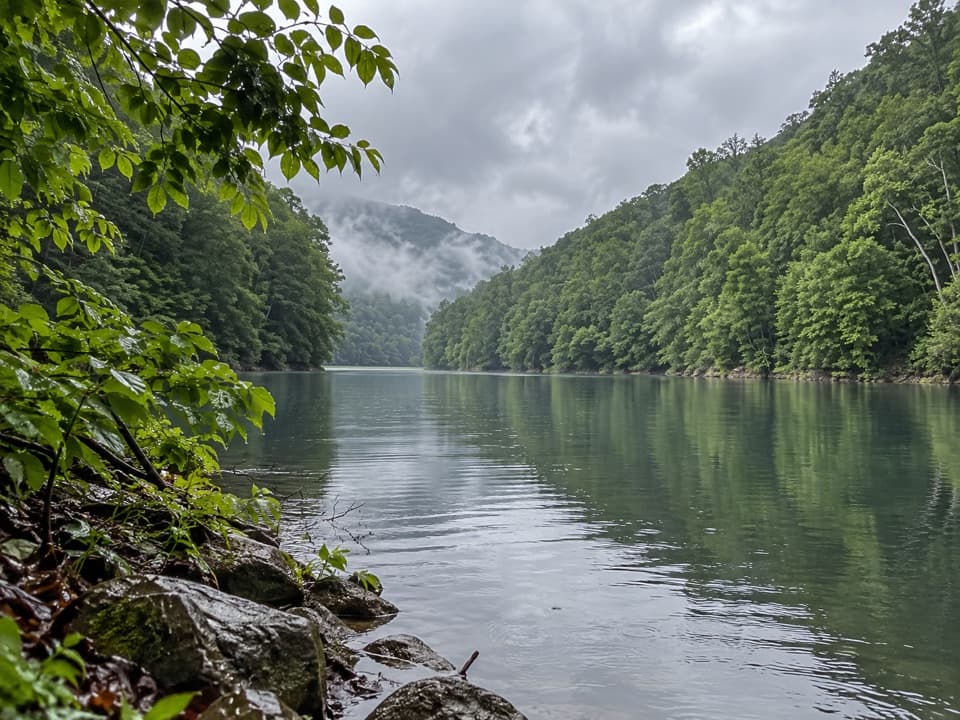 ChallengingGoldmine, Forney Creek and Lakeshore Loop9.9 mi · 7 hr · 0.6 mi awayTwo connected loops save a steep Fontana Lake climb for last.
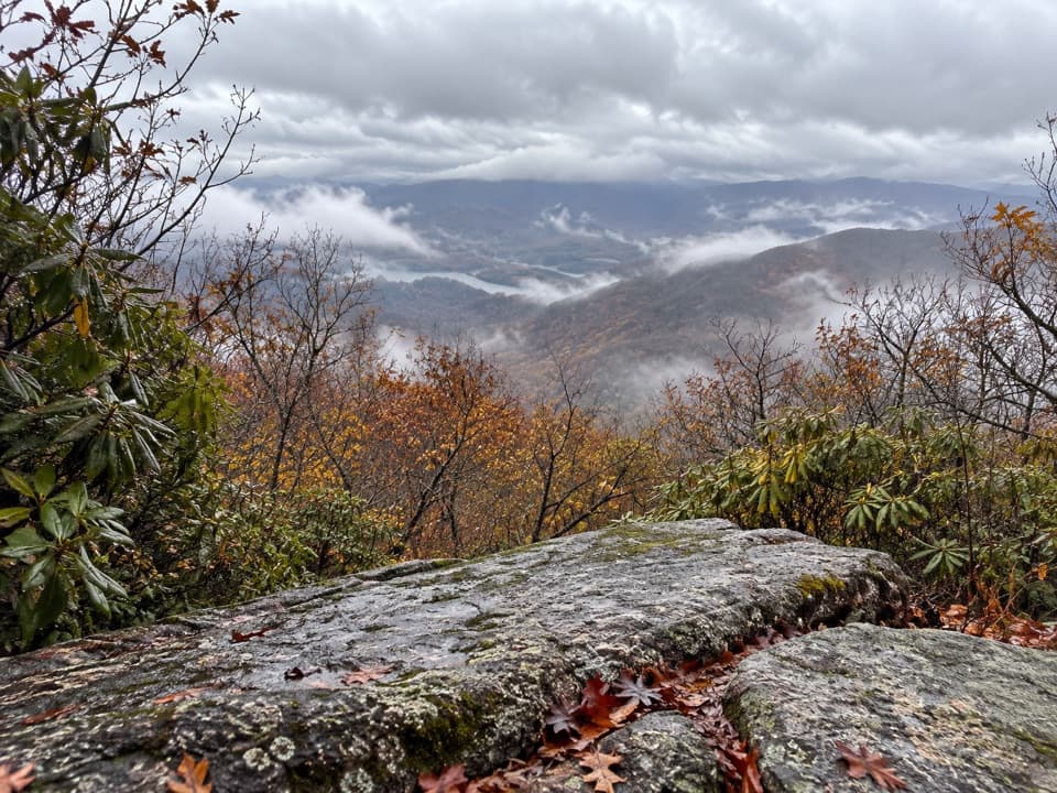 ChallengingHigh Rocks Trail19.4 mi · 11.5 hr · 0.6 mi awayLong backcountry climb to a former fire tower site above Fontana Lake.
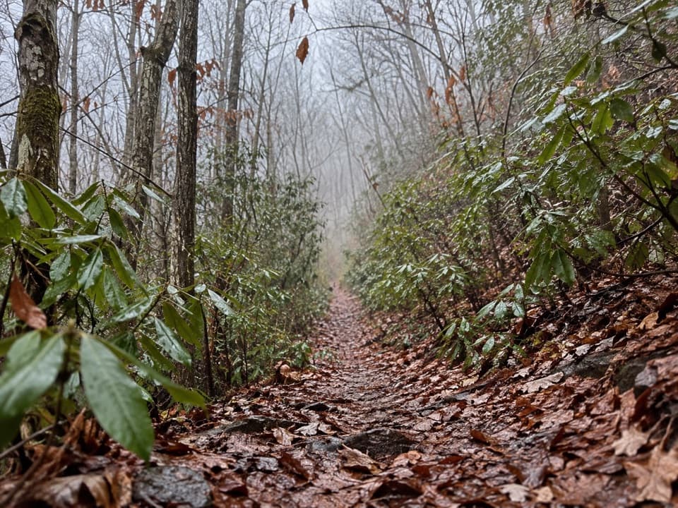 ChallengingBear Creek Trail5.9 mi · 5 hr · 2.5 mi awayA steep old grade climbs from Forney Creek into high backcountry.
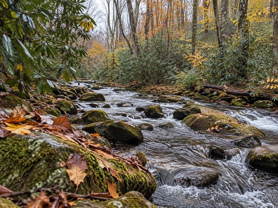 ModerateSpringhouse Branch Trail6.9 mi · 4.5 hr · 3.4 mi awayA backcountry link between Forney Creek and Noland Creek.
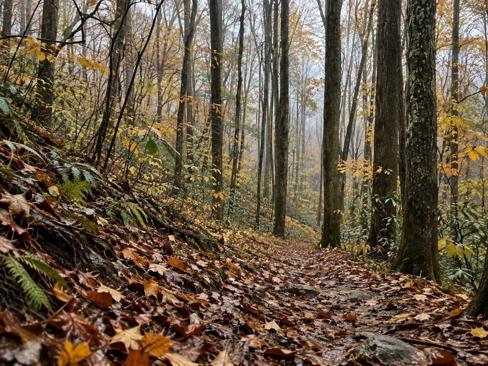 ChallengingJonas Creek Trail4.1 mi · 4 hr · 4.2 mi awayCreek crossings first, then a steep climb to Welch Ridge.
 ChallengingLonesome Pine Overlook Trail6.8 mi · 4 hr · 5 mi awayA steep ridge climb to a rocky overlook above Bryson City.
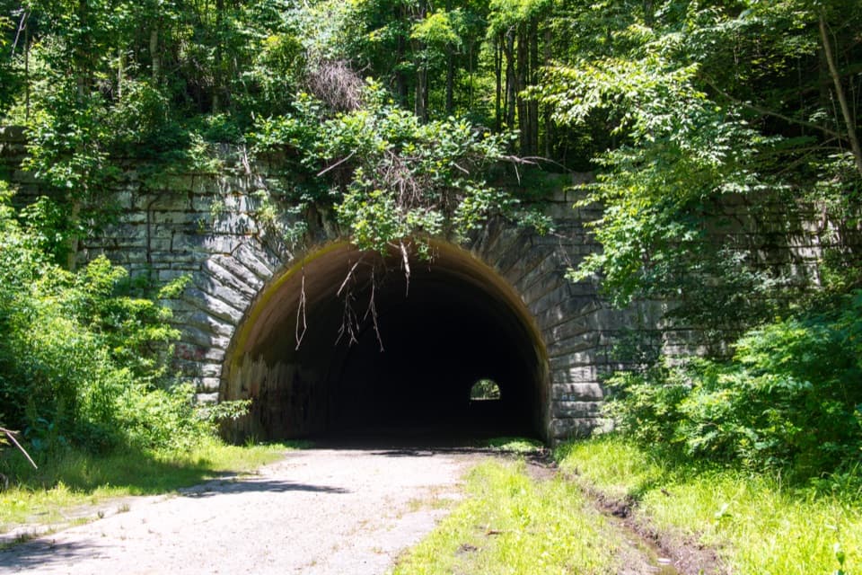 Sight · 0.8 mi awayLakeview Drive TunnelWalk a 1,200-foot tunnel on a road that never reached its end.
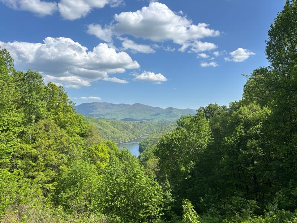 Scenic pullout · 1.2 mi awayFontana Lake OverlookA quick lake-and-ridge view on the Road to Nowhere.
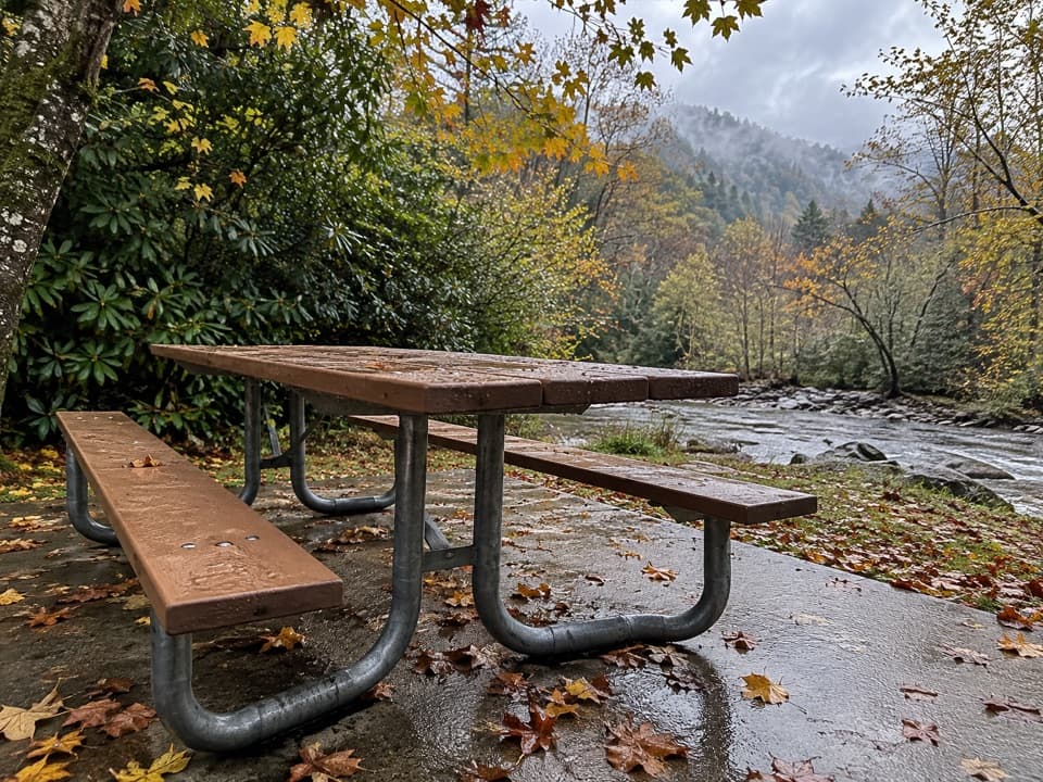 Picnic area · 5 mi awayDeep Creek Picnic AreaCreekside shade, charcoal grills, and waterfall walks in one stop.
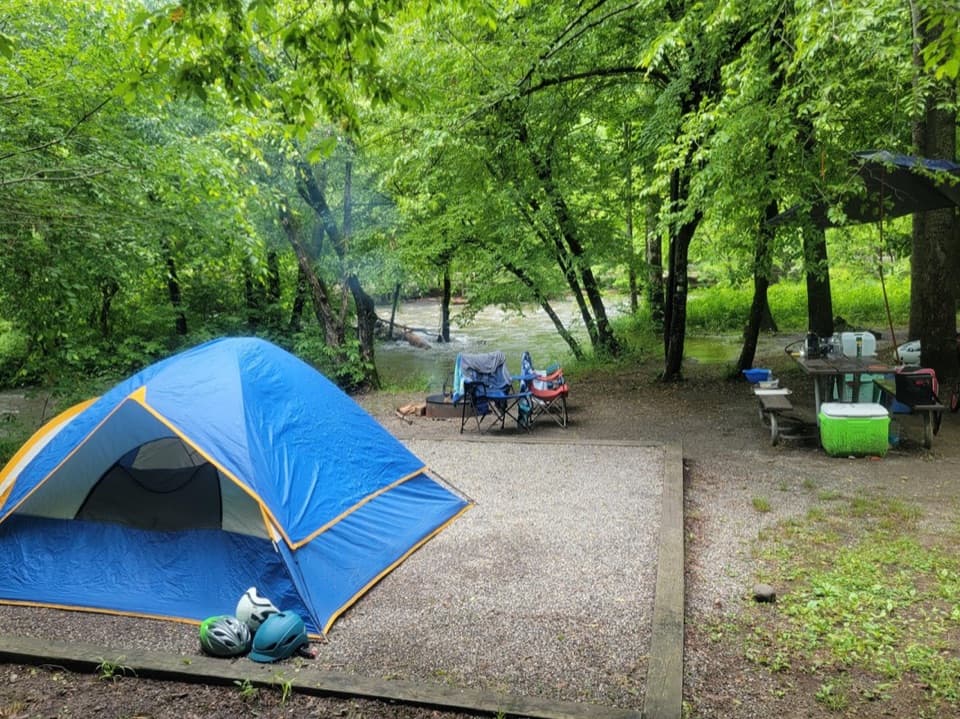 Campground · 5.2 mi awayDeep Creek CampgroundCreekside camping puts waterfalls and tubing within easy reach.
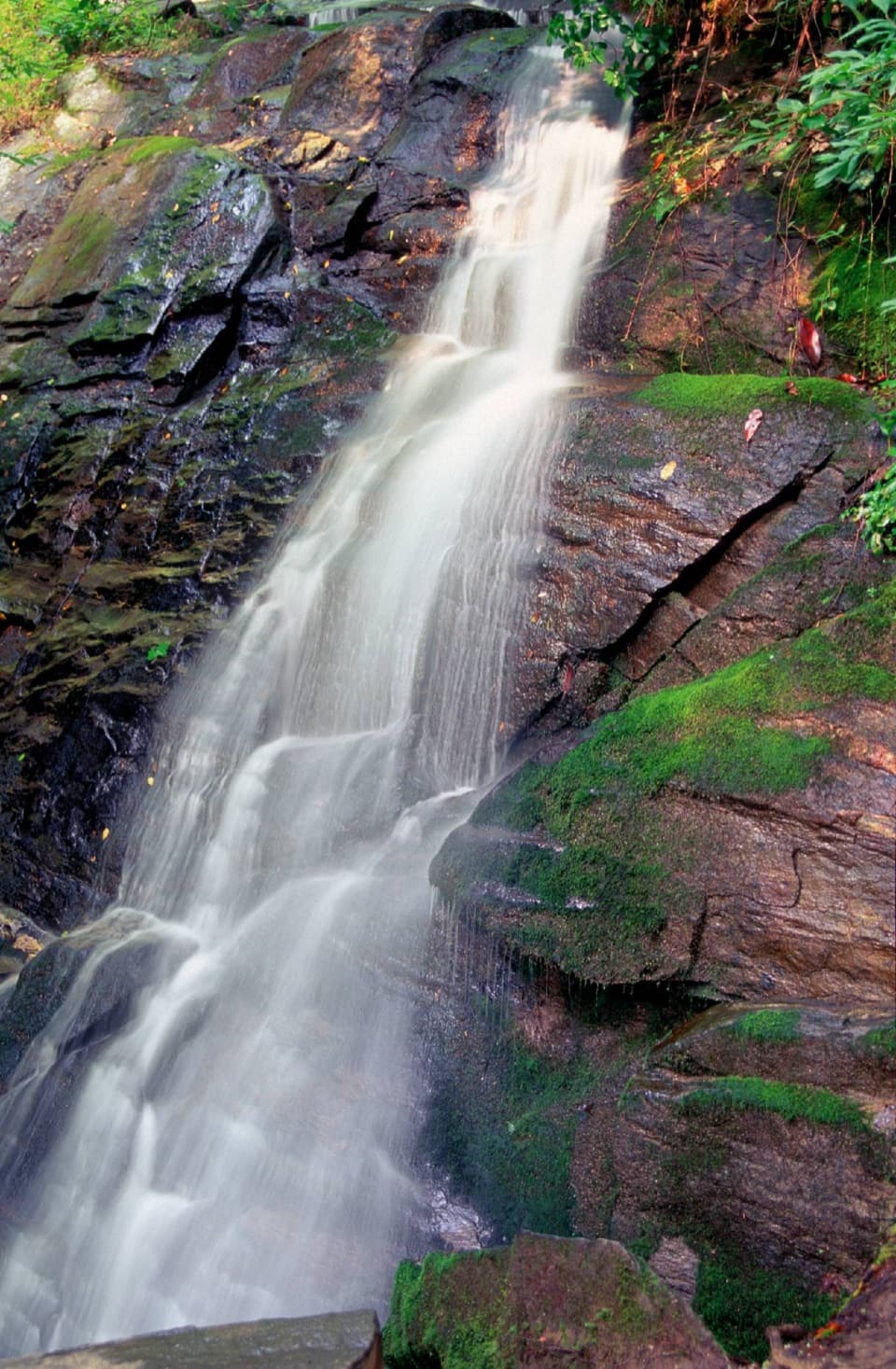 Sight · 5.2 mi awayJuney Whank FallsCross a footbridge for an unusually close look at both waterfall tiers.
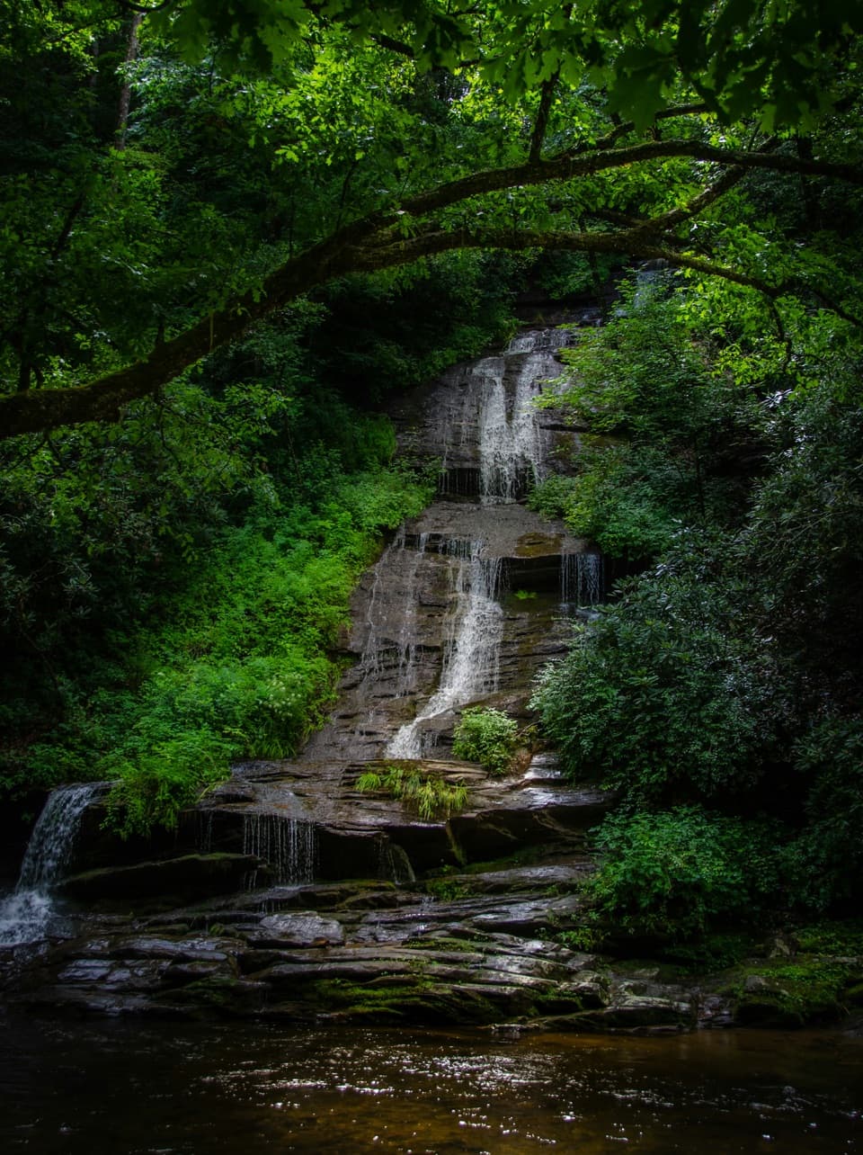 Sight · 5.5 mi awayTom Branch FallsFront-row benches across from tiered falls, after an easy walk.
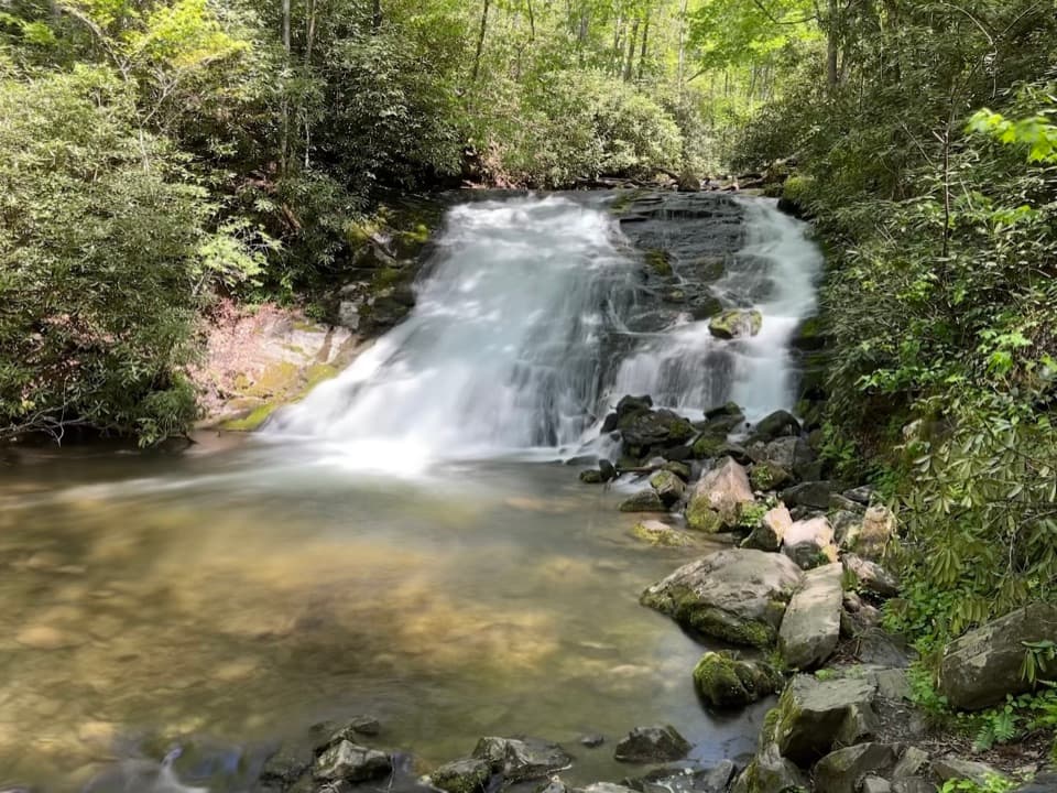 Sight · 5.7 mi awayIndian Creek FallsA creekside walk to two falls, ending at a broad 25-foot cascade.
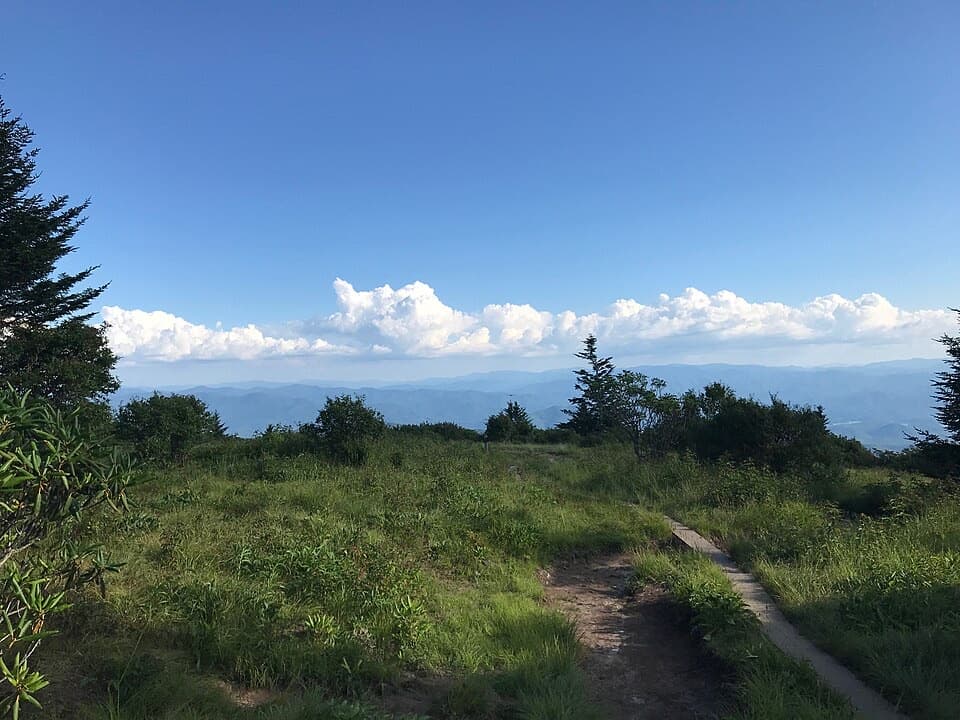 Sight · 6.1 mi awayAndrews BaldAn open mountain meadow with a 3.6-mile hike and a steep return.
Parkwolf’s Great Smoky Mountains ranking

The audio tour guide for the drive, plus offline maps, trails, and wildlife heatmaps for when the signal drops.





