
Place · 4.9 mi away
Moderate
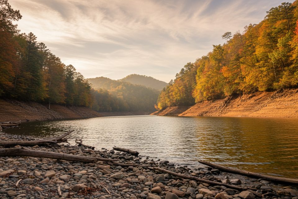
A local favorite with a twist of Smokies lore, the Goldmine Loop is a 4.0‑mile total loop on the Bryson City side that pairs forest singletrack with a walk through the infamous "Road to Nowhere" tunnel. Expect roughly 600–800 feet of total elevation gain, a few steep grades, and a steady climb back from Fontana Lake. Most hikers take 2–3 hours.
From the end of Lakeview Drive, many start by strolling the flat, 1,200‑foot tunnel; tunnel‑averse hikers can use the 1.6‑mile Tunnel Bypass Trail instead. Beyond the tunnel, follow Lakeshore Trail to the signed Goldmine Loop junction. The loop drops toward Goldmine Branch and a small cove on Fontana Lake, then climbs back to rejoin the bypass near the parking area. Surfaces are mostly shaded singletrack with some rocky, muddy, and narrow sections. Wayfinding is generally straightforward, but there are a few spur junctions—watch the signs.
This hike is as much about story as scenery. The unfinished “Road to Nowhere” was meant to replace flooded Highway 288 after Fontana Lake was created; construction stopped at the tunnel, and the long saga eventually ended with a cash settlement instead of a road. Along the loop, look for remnants of early homesteads—crumbling chimneys and artifacts tucked in the Goldmine Branch drainage. The lake cove offers a quiet pause; views expand or shrink with reservoir levels. You may also pass park hog‑management traps; leave them strictly alone.
Overall moderate, but the climb back from the lake is the huffer‑puffer section. The trail can be muddy after rain, and the tread narrows in places. A small light is handy in the tunnel on dark days. Cell service is spotty—download a map before you go. Pets aren’t allowed on this backcountry loop.
Year‑round is viable, but autumn shines thanks to mixed hardwoods that pop with color. The loop sees lighter traffic than big‑name Smokies hikes, so weekdays or early starts feel pleasantly quiet. After wet weather, expect slick mud and plan footwear accordingly.
If you want a longer, view‑forward loop elsewhere in the park, consider the Rich Mountain Loop in Cades Cove.
Park at the dead end of Lakeview Drive (Road to Nowhere) near Bryson City; trail begins at the tunnel. No restrooms. A Great Smoky Mountains parking tag is required if parked more than 15 minutes.
Bring a light for the dark tunnel; expect steep, muddy sections and narrow tread. Watch for confusing spur junctions. Do not touch hog traps. Pets are not allowed.
Place · 4.9 mi away
Place · 5.8 mi away
Place · 5.8 mi away
Place · 5.8 mi away
Challenging · 0.2 mi away
Easy · 0.8 mi away
Easy · 6 mi away
Easy · 6 mi away

Parkwolf Tour Guide
