Parking
Start at Pine Springs Trailhead. McKittrick Canyon Trailhead is seven road miles north of Pine Springs Visitor Center, a 20–30-minute drive; the park runs no shuttle between them, so arrange a vehicle transfer in advance.

Guadalupe Mountains National Park, TX
A long high-country traverse ending in South McKittrick Canyon.
Overview
Map & elevation
Plan your hike

The highest, rockiest slopes around here are a summer buffet for grizzly bears.
Guadalupe Mountains Tour Guide
Parkwolf is a GPS audio tour guide for Guadalupe Mountains National Park. As you drive, it chimes in with what’s ahead: hidden gems, upcoming stops, history, geology, and wildlife, right through your car’s speakers.
Recorded for this area
Pine Springs: The Guadalupe Peak Climb“You're nearing Pine Springs Trailhead, where the climb to Guadalupe Peak begins.”
Plays on the road 0.2 mi from the trailhead in the Parkwolf Guadalupe Mountains Tour Guide.
More stories near here in the app
“Fantastic app with many points of information… It’s great to just turn on while you’re driving and it gives you an audio tour of the national Park. We love it!!!!”


Trail guide
Pine Springs to McKittrick Canyon is an 18.8-mile, one-way point-to-point hike from Pine Springs Trailhead across the Tejas high country and McKittrick Ridge, then down South McKittrick Canyon to its trailhead. It packs desert foothills, forested drainages, open ridges, and a canyon floor into one strenuous backcountry trip. Allow 12–16 hours of hiking; the park recommends spreading it over two days with an overnight stop.
Those 18.8 miles are one way, not a round trip. There is no shuttle between the trailheads, which are a 20–30-minute drive apart, so arrange your own vehicle transfer. The McKittrick Canyon area below the ridge campground is day-use only. For this Pine Springs-to-canyon direction, plan an overnight at a permitted campsite on the route so you can finish through the canyon during its access hours. A same-day walk is better suited to the reverse direction, which starts at McKittrick Canyon and finishes at Pine Springs. Day hiking needs no reservation; overnight camping requires a Wilderness Use Permit.
The Tejas Trail climbs out of Pine Springs Canyon and into the park’s Wilderness. After Pine Top, the route passes through the forested Bowl and its drainages before reaching the McKittrick junction. Expect sustained effort on rocky trail. Across the park, trails are generally loose or hardened rock and vary from two to six feet wide; the park recommends hiking poles.
Beyond the junction, the route rises gradually to a high point of 7,916 feet, then loses about 2,380 feet in roughly two miles. This is the hardest stretch: steep, rocky, and exposed enough that you’ll want to keep your legs fresh for the descent. The reward is a broad look into South McKittrick Canyon and the ridges around it. This is the route’s signature view; include the canyon in the frame so the depth reads.
The last four miles follow South McKittrick Canyon to the trailhead. On the way out, Pratt Cabin is 2.3 miles from the canyon trailhead, with the Grotto another 1.1 miles farther up-canyon. If the full traverse is too much, Pratt Cabin makes a 4.6-mile round trip from McKittrick Canyon, but it covers only this final section. Stay on the trail and out of the water to protect the canyon habitat. No food service or water source lies along the backcountry route; fill up at a visitor center before setting out.
The pale cliffs are Capitan limestone, part of a Permian marine reef formed roughly 260–270 million years ago. Geologist Wallace Pratt first explored the canyon in 1921, later bought land here, and donated nearly 6,000 acres that became the nucleus of the park. His cabin is one of the stops on the canyon-floor stretch.
McKittrick’s deciduous trees contrast with the dry desert beyond; late October and early November are the park’s best-known color period, though timing varies. Pets are not allowed on park trails. There is no water in the backcountry, so carry the park’s recommended gallon per person per day, and plan your overnight and canyon exit before you start.
Wildlife
 33 sightingsAoudadMost seen around 6 AMSighting map
 162 sightingsMule DeerMost seen around 6 AMSighting map
 11 sightingsWild TurkeyMost seen around 7 AMSighting map
 34 sightingsCollared PeccaryMost seen around 7 AMSighting map
 37 sightingsDiamondback RattlesnakeMost seen around 6 PMSighting map
 42 sightingsBlack-tailed RattlesnakeMost seen around 7 PMSighting map
Sighting maps show where each species has been reported across Guadalupe Mountains. Wildlife moves, so no sighting is guaranteed.
Keep exploring
 ChallengingHunter Peak Loop8.7 mi · 7 hr · At the trailheadBear Canyon up, Tejas down, and a summit over the desert.
 ChallengingDevil's Hall Trail4.2 mi · 4 hr · At the trailheadBoulder scrambling leads to a natural staircase and narrow canyon hall.
 ChallengingBowl Trail11 mi · 9 hr · At the trailheadA long Tejas climb reaches a remnant forest in the high country.
 ChallengingSalt Basin Overlook Trail11.3 mi · 8 hr · At the trailheadA long, open loop to the Salt Basin’s wide western views.
 ChallengingBush Mountain Summit Hike13.3 mi · 8.5 hr · At the trailheadA long ridge hike to Texas’s second-highest summit.
 ChallengingTejas Thru Hike11.8 mi · 8 hr · At the trailheadCross the park’s high country from the Bowl to Dog Canyon.
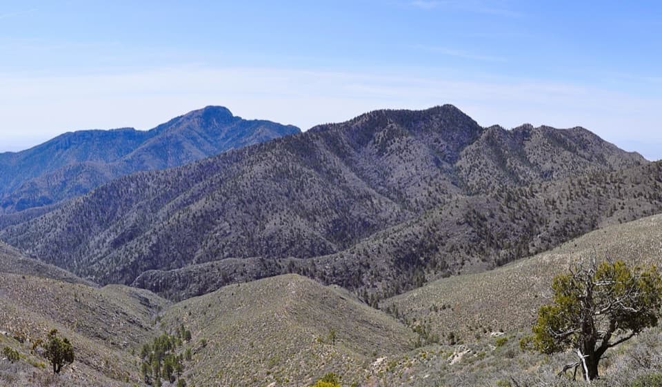 ChallengingBush Mountain–Blue Ridge Loop16.2 mi · 10.5 hr · At the trailheadA full-day ridge loop crosses Texas’s second-highest summit.
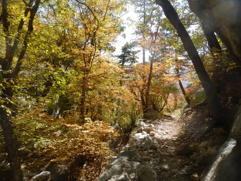 ChallengingBear Canyon–Juniper–Tejas Loop11 mi · 7.5 hr · At the trailheadSteep Bear Canyon, the Bowl's remnant forest, and a long Tejas return.
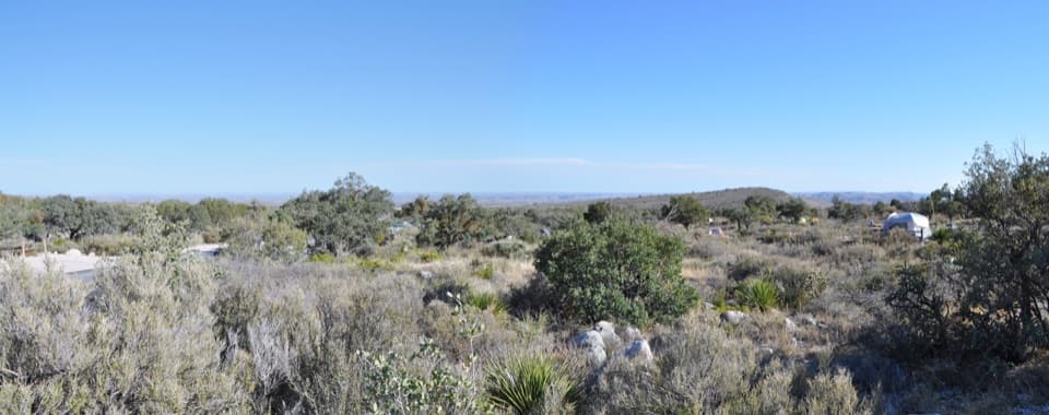 Campground · 0.1 mi awayPine Springs CampgroundA practical hiking base with tent sites, RV space, and mountain views.
 Visitor center · 0.4 mi awayPine Springs Visitor CenterStart here for permits, maps, and advice before your hike.
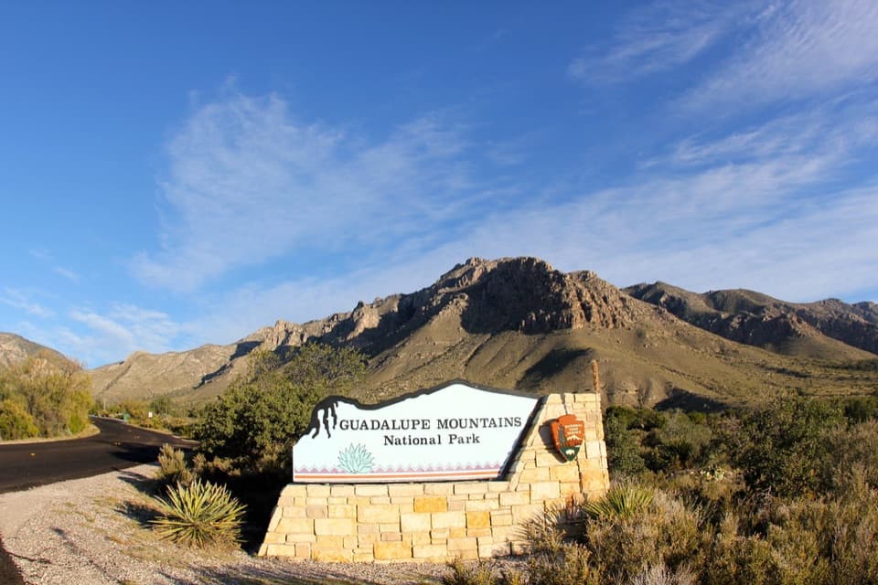 Sight · 0.5 mi awayGuadalupe Mountains National Park Entrance Sign (Pine Springs)A quick entrance photo with Hunter Peak behind the sign.
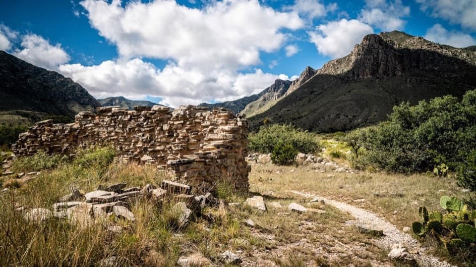 Sight · 0.6 mi awayThe PineryAn easy walk to the Butterfield route's highest station.
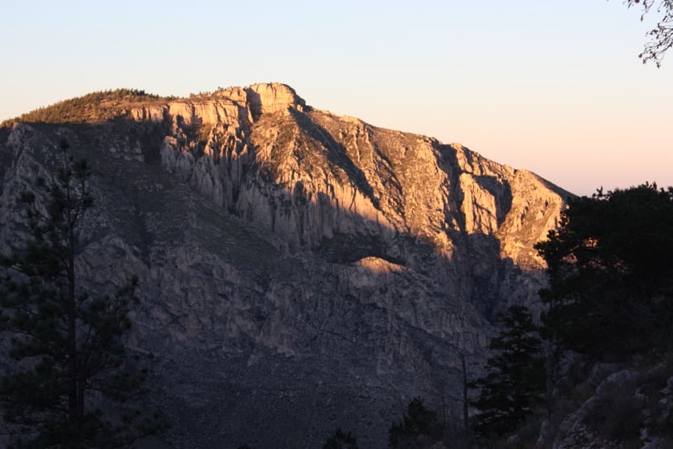 Sight · 1.2 mi awayHunter PeakA full-day climb to broad views from Texas’s sixth-highest peak.Sight · 1.4 mi awayDevil's HallA strenuous boulder scramble ends at a narrow limestone hallway.
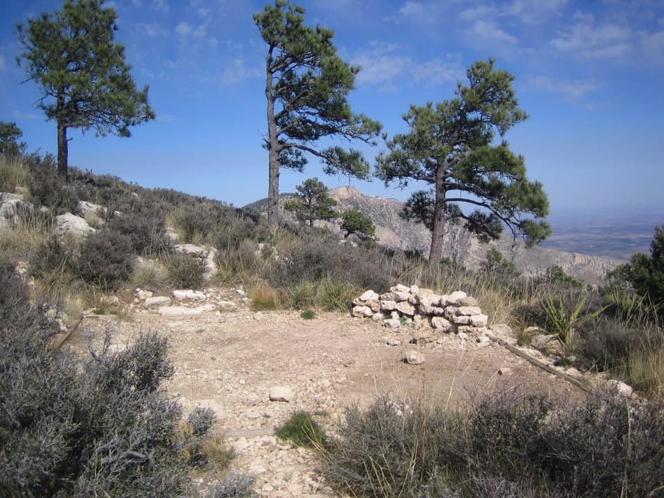 Campground · 1.4 mi awayGuadalupe Peak Wilderness CampgroundOvernight on the steep climb to Guadalupe Peak.
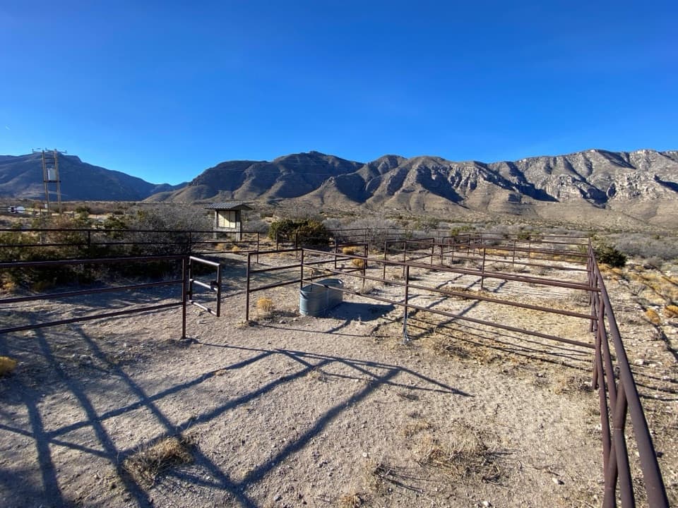 Campground · 1.7 mi awayFrijole Horse Corral CampgroundHorse camping with a clear view of the park's high peaks.
Parkwolf’s Guadalupe Mountains ranking

The audio tour guide for the drive, plus offline maps, trails, and wildlife heatmaps for when the signal drops.



