1 active Guadalupe Mountains alert
- CautionDevil’s Hall wash dangerous when wetThe Devil’s Hall hike is strenuous, and its wash section is dangerous when wet or if water is present. - The wash requires rock scrambling.Official details
Sight · Guadalupe Mountains National Park
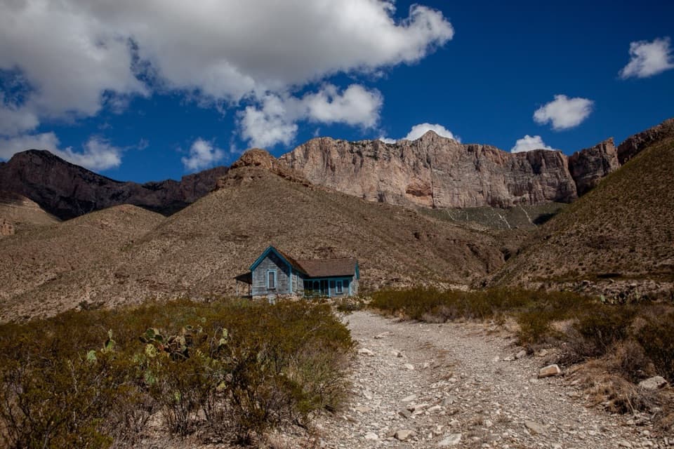
A 1908 ranch house beneath Guadalupe's western escarpment.
Overview
Map
Plan your stop

The highest, rockiest slopes around here are a summer buffet for grizzly bears.
Guadalupe Mountains Tour Guide
Parkwolf is a GPS audio tour guide for Guadalupe Mountains National Park. As you drive, it chimes in with what’s ahead: hidden gems, upcoming stops, history, geology, and wildlife, right through your car’s speakers.
More stories near here in the app
“Fantastic app with many points of information… It’s great to just turn on while you’re driving and it gives you an audio tour of the national Park. We love it!!!!”


Guide
Williams Ranch is a surviving 1908 ranch house at the mouth of Bone Canyon, tucked beneath the Guadalupe Mountains' western escarpment and a 3,000-foot cliff. The drive is part of the visit: it's remote and rough, and the whole outing takes about four to six hours. Go if you want a backcountry history stop and can give it half a day; this isn't a quick detour.
From Pine Springs Visitor Center, drive west 8.3 miles on US 62/180 to the gate, then 7.3 miles each way on a one-lane dirt road. It crosses bedrock and washes and needs a street-legal, high-clearance 4WD with low range; the stated minimum is 8 inches of clearance and 15-inch rims. A no-fee permit and gate key are required. Check road conditions and get the key at Pine Springs, lock both gates behind you, and return the key there after the trip. Summer monsoon rain can damage or close the road, so confirm it's open before setting out. This is day use only, pets must stay in the vehicle, and a breakdown on this infrequently patrolled road can become serious. Bring water, food, a jack, and a good spare tire.
Expect an exterior visit: the interior is closed, and the porch isn't accessible. The one-story house has an L-shaped plan, local stone foundation, wood-shingle roof, and Victorian details around its covered north porch. Its mix of formal trim and practical construction reflects a remote ranch home built with materials hauled from Van Horn and stone gathered locally.
The house dates to 1908. The historical record suggests Robert Belcher commissioned it, but his brother Henry settled here with his wife and daughter. Around 1917 the property passed to James Adolphous “Dolph” Williams, who raised cattle, sheep, and goats and farmed on a small scale with Geronimo Segura. Segura cared for goats and built a herd of more than 600 before leaving in 1933. Newspaper scraps patched into the wallpaper helped keep wind and dust out; the National Park Service says local pioneers commonly used them that way.
About two miles of the approach follow the 1858 Butterfield Overland Mail stage route. Bone Canyon opens behind the house, where the cliffs and slopes expose the oldest rocks in the Guadalupes. The Park Service describes a wide west-facing view from the porch, but visitors can't use the porch. For a photo, keep the house and the steep escarpment together in a wide exterior frame; the setting is a big part of the story.
Wildlife
 33 sightingsAoudadMost seen around 6 AMSighting map
 162 sightingsMule DeerMost seen around 6 AMSighting map
 11 sightingsWild TurkeyMost seen around 7 AMSighting map
 34 sightingsCollared PeccaryMost seen around 7 AMSighting map
 37 sightingsDiamondback RattlesnakeMost seen around 6 PMSighting map
 42 sightingsBlack-tailed RattlesnakeMost seen around 7 PMSighting map
Sighting maps show where each species has been reported across Guadalupe Mountains. Wildlife moves, so no sighting is guaranteed.
Keep exploring
 ChallengingGuadalupe Peak Trail8.4 mi · 7 hr · 3.5 mi awayClimb 3,000 feet to the highest point in Texas.
 ChallengingHunter Peak Loop8.7 mi · 7 hr · 3.5 mi awayBear Canyon up, Tejas down, and a summit over the desert.
 ChallengingDevil's Hall Trail4.2 mi · 4 hr · 3.5 mi awayBoulder scrambling leads to a natural staircase and narrow canyon hall.
 ChallengingBowl Trail11 mi · 9 hr · 3.5 mi awayA long Tejas climb reaches a remnant forest in the high country.
 ChallengingSalt Basin Overlook Trail11.3 mi · 8 hr · 3.5 mi awayA long, open loop to the Salt Basin’s wide western views.
 ChallengingBush Mountain Summit Hike13.3 mi · 8.5 hr · 3.5 mi awayA long ridge hike to Texas’s second-highest summit.
 ChallengingTejas Thru Hike11.8 mi · 8 hr · 3.5 mi awayCross the park’s high country from the Bowl to Dog Canyon.
 ChallengingPine Springs to McKittrick Canyon18.8 mi · 14 hr · 3.5 mi awayA long high-country traverse ending in South McKittrick Canyon.
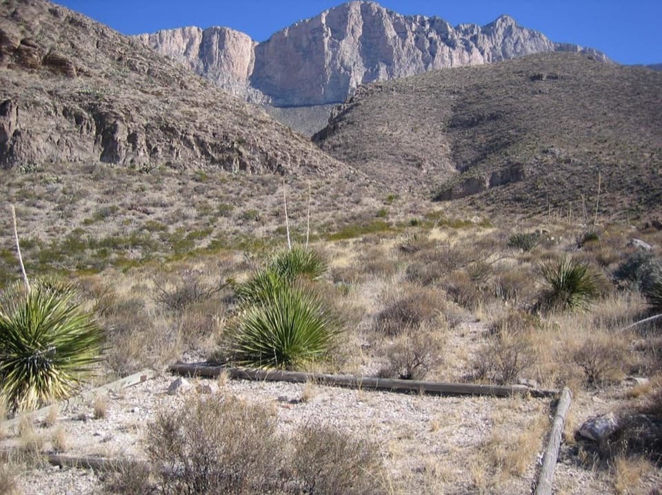 Campground · 0.4 mi awayShumard Canyon Wilderness CampgroundA nine-mile backpack to camps beneath the western escarpment.
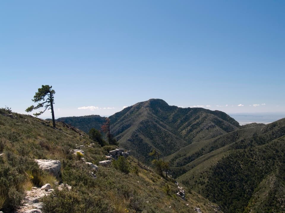 Sight · 1.5 mi awayGuadalupe PeakA steep, rocky hike reaches Texas' highest natural point.
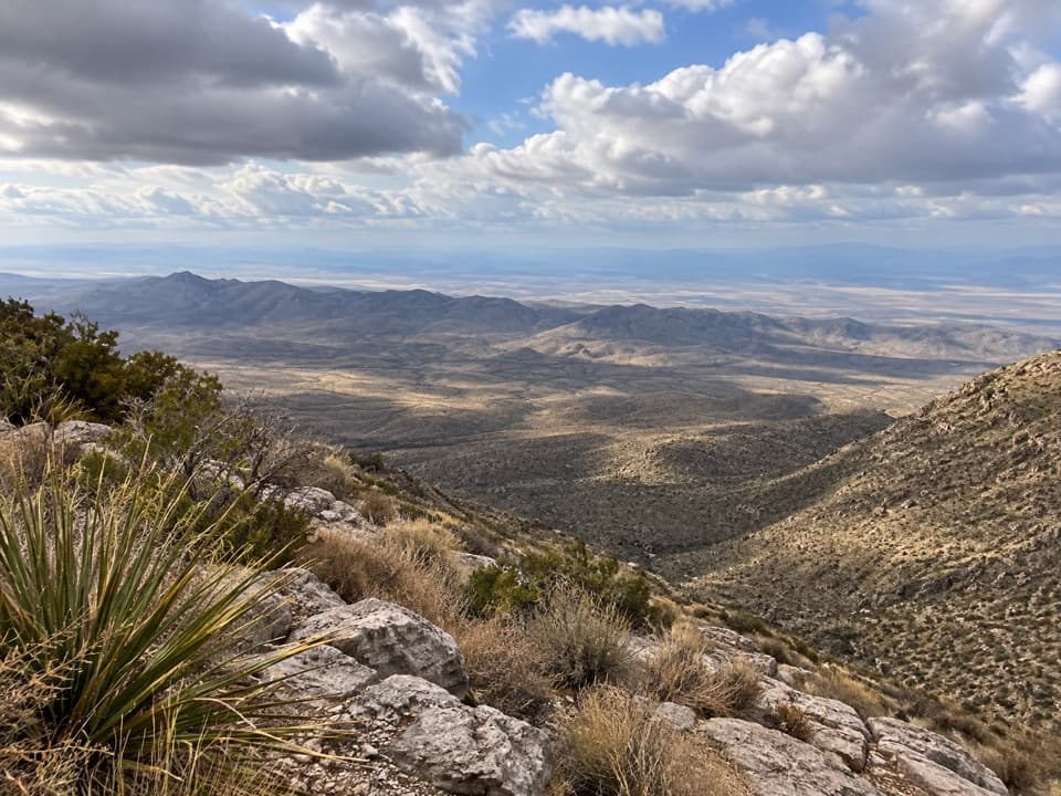 Sight · 1.9 mi awaySalt Basin OverlookA long, exposed hike ends at a west-facing salt-basin overlook.
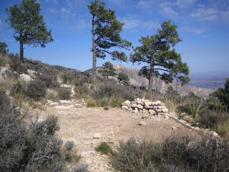 Campground · 2.1 mi awayGuadalupe Peak Wilderness CampgroundOvernight on the steep climb to Guadalupe Peak.Sight · 2.7 mi awayDevil's HallA strenuous boulder scramble ends at a narrow limestone hallway.
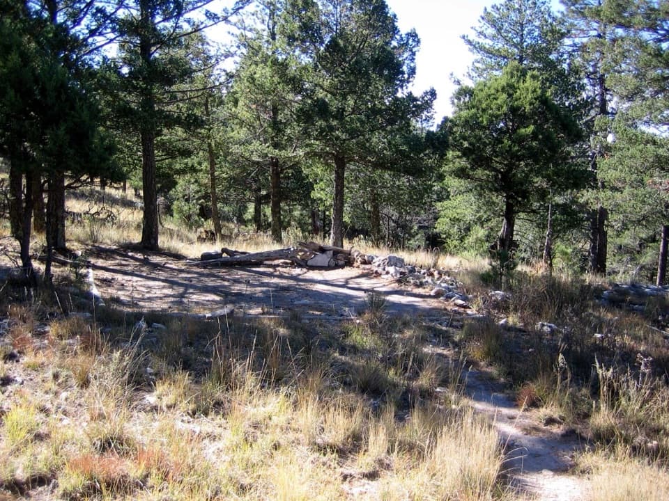 Campground · 3 mi awayBush Mountain Wilderness CampgroundA demanding hike to five tent pads and western sunset views.
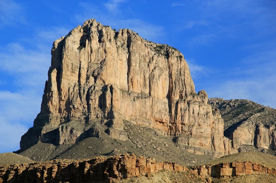 Sight · 3.1 mi awayEl Capitan ViewpointA roadside look at an ancient reef towering over the desert.
 Sight · 3.2 mi awayBush MountainTexas’s second-highest peak, reached by backcountry trail.
Parkwolf’s Guadalupe Mountains ranking

The audio tour guide for the drive, plus offline maps, trails, and wildlife heatmaps for when the signal drops.