Bear Canyon–Juniper–Tejas Loop in Guadalupe Mountains National Park

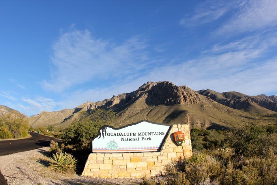
Guadalupe Mountains National Park, TX

Bear Canyon–Juniper–Tejas Loop

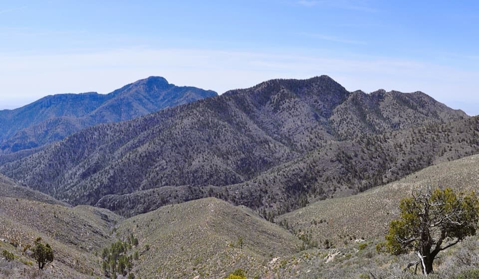
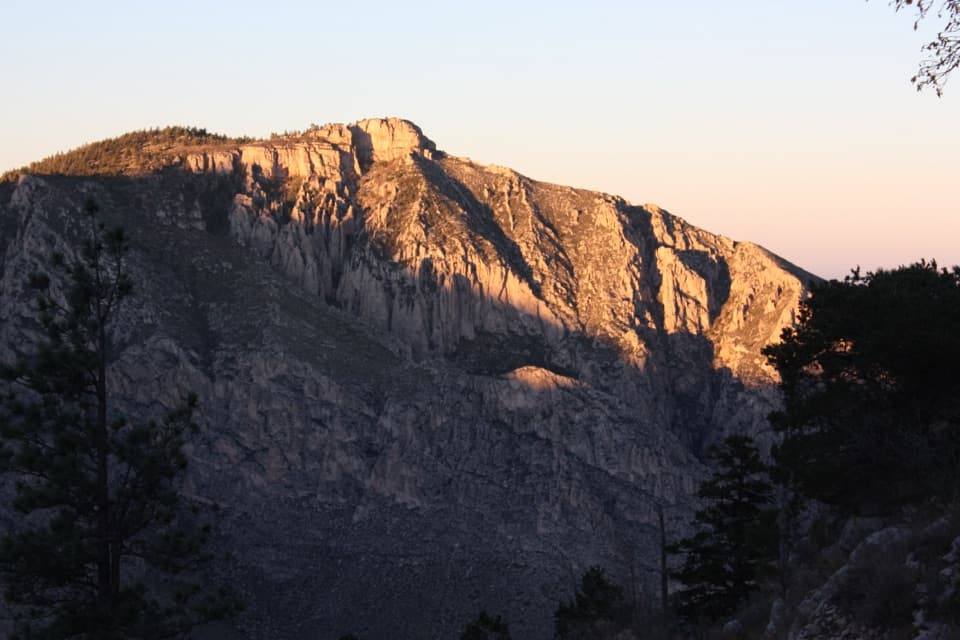
Steep Bear Canyon, the Bowl's remnant forest, and a long Tejas return.

Photo: Wikimedia Commons
Length
11mi
Time
7.5hr
Elev. change
2,198ft
Difficulty
Challenging
  • Loop
  • No dogs
  • High point 7,989 ft

Hear the audio tour

Pine Springs: The Guadalupe Peak Climb

Overview

About Bear Canyon–Juniper–Tejas Loop

Why go

  • The route shifts from exposed escarpment to high forest and meadow.
  • A real loop links Bear Canyon, the Bowl, Juniper, and Tejas.

Heads up

  • Bear Canyon gains about 2,000 feet in its first 1.8 miles.
  • The exposed climb takes the full midday sun in many places.

Map & elevation

The route

Loading the Guadalupe Mountains map
Full map
Elevation5,791–7,989 ft
TrailheadPine Springs Trailhead31.89641, -104.82787
Keep this map with you offline in the Parkwolf app

Plan your hike

Before you go

Parking

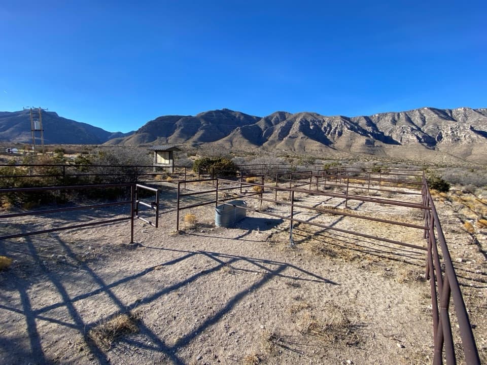
Use the Pine Springs Trailhead parking area. The loop follows Tejas and Foothills to the Frijole junction for the Bear Canyon climb, then returns to the same access on Tejas. Parking is free, but spaces can be limited on busy weekends. Park entrance fees apply.


Safety

Bear Canyon gains about 2,000 feet in 1.8 miles on the exposed eastern escarpment; midday sun hits hard, with only some tree cover. Climb this section rather than descending it, carry enough water, and bring a detailed topographic map. Pets are not allowed on this route.

1 active Guadalupe Mountains alert

  • CautionDevil’s Hall wash dangerous when wetThe Devil’s Hall hike is strenuous, and its wash section is dangerous when wet or if water is present. - The wash requires rock scrambling.Official details
Guadalupe Mountains alerts
A park ranger sits on a dash-mounted phone, talking, as Parkwolf’s Tour Guide plays “Army Cutworm Moths: A Grizzly Bear Buffet” on Grand Loop Road below Dunraven Pass in Yellowstone
Parkwolf Tour GuideThe highest, rockiest slopes around here are a summer buffet for grizzly bears.

Guadalupe Mountains Tour Guide

Your drive to Bear Canyon–Juniper–Tejas Loop, narrated.

Parkwolf is a GPS audio tour guide for Guadalupe Mountains National Park. As you drive, it chimes in with what’s ahead: hidden gems, upcoming stops, history, geology, and wildlife, right through your car’s speakers.

Recorded for this area

Pine Springs: The Guadalupe Peak Climb
0:00 / 0:24
“You're nearing Pine Springs Trailhead, where the climb to Guadalupe Peak begins.”

Plays on the road 0.2 mi from the trailhead in the Parkwolf Guadalupe Mountains Tour Guide.

More stories near here in the app

  • Pine Springs Visitor Center and the Pinery
  • The Tree with Alligator Bark
  • Why an Airline Marked the Summit
  • Frijole Ranch: An Orchard Fed by Springs
  • 22 audio storiesacross Guadalupe Mountains’s roads, triggered by GPS as you drive
  • Wildlife heatmapsfor Aoudad, Mule Deer, Wild Turkey, and 13 more
  • Works offlinemaps, 32 trails, 34 places, and audio download before you lose signal
  • CarPlay readysimple controls built for the drive
★★★★★
“Fantastic app with many points of information… It’s great to just turn on while you’re driving and it gives you an audio tour of the national Park. We love it!!!!”
JMJamesApp Store review
Download Parkwolf on the App StoreGet Parkwolf on Google Play

4.7 from 8,600+ ratings

Trail guide

Hiking Bear Canyon–Juniper–Tejas Loop

A long loop with a hard first climbThis is an about 11-mile loop from Pine Springs Trailhead.

This is an about 11-mile loop from Pine Springs Trailhead. It leaves on Tejas, follows Foothills and Frijole to Bear Canyon, climbs to the ridge, takes the direct Bowl Trail link to Juniper, then returns on Tejas. Allow seven to eight hours with stops. This mapped version uses the short Bowl-to-Juniper connection; it skips Hunter Peak and the longer circuit around the Bowl, so follow the line if you want the mileage above.

Bear Canyon is the testFrom the Frijole junction, Bear Canyon climbs 1.8 miles to the ridge and gains about 2,000 feet.

From the Frijole junction, Bear Canyon climbs 1.8 miles to the ridge and gains about 2,000 feet. The path is steep and rocky, with big steps and cliffs along the way. It crosses the exposed eastern escarpment, where midday sun hits hard, though some stretches have tree cover. The National Park Service recommends climbing Bear Canyon rather than descending it. Start early enough to do this climb before the hottest part of the day.

Through the BowlAt the ridge, follow Bowl Trail toward Juniper.

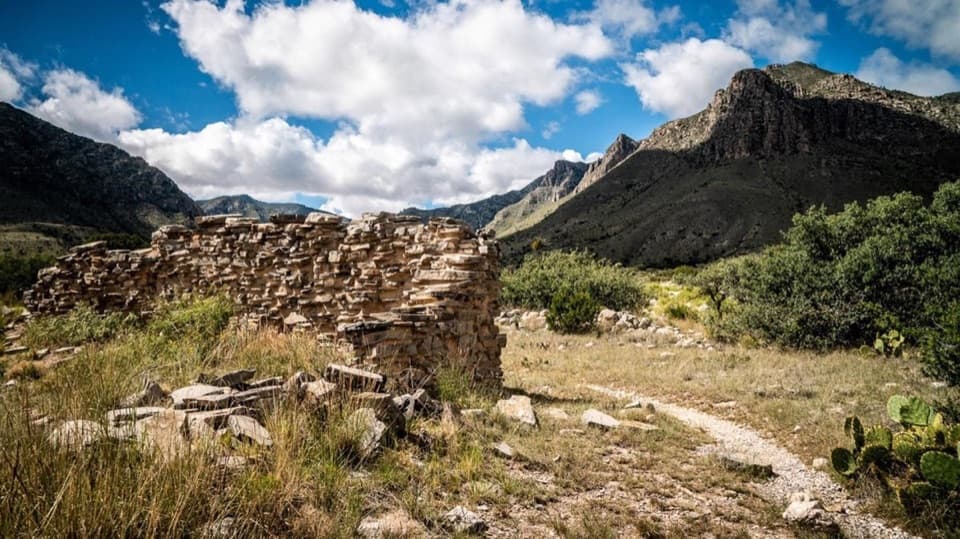
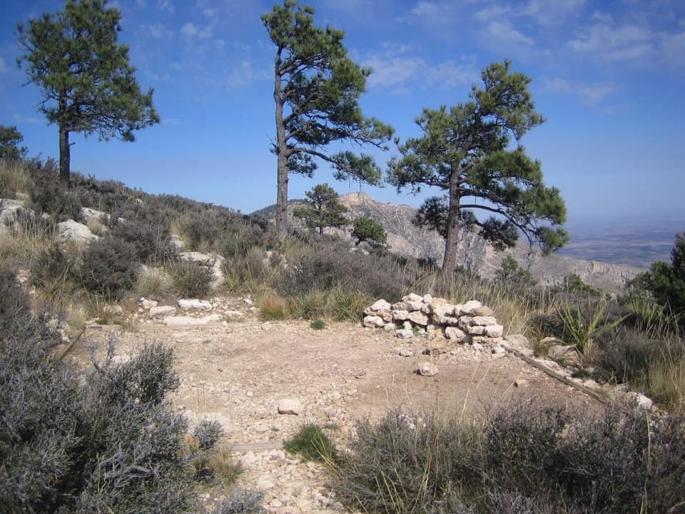
At the ridge, follow Bowl Trail toward Juniper. You get open views over Pine Springs and Bear Canyons, then enter the Bowl’s dense remnant forest and meadow. Keep an eye out for the old ranch water system remains; deer and elk may also be seen here. Hunter Peak is a separate spur, and this route leaves it out.

Juniper and the Tejas returnJuniper connects the Bowl to Tejas in about 2 miles, climbing a ridge before dropping through…

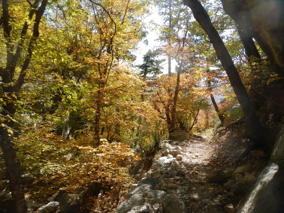
Juniper connects the Bowl to Tejas in about 2 miles, climbing a ridge before dropping through forest. Turn south on Tejas for the long return to Pine Springs. This section passes through forest and drainages, then works down the canyon slopes on switchbacks. The grade is more gradual than Bear Canyon, but it still takes time.

Plan for a wilderness dayBring a detailed topographic map; the park says one is essential for hiking here.

Bring a detailed topographic map; the park says one is essential for hiking here. Carry enough water for a long day, and take breaks before the steep climb catches up with you. Pets aren’t allowed on this route. An overnight camp in the backcountry requires a permit.

Wildlife

Wildlife in Guadalupe Mountains

All Guadalupe Mountains wildlife maps

Sighting maps show where each species has been reported across Guadalupe Mountains. Wildlife moves, so no sighting is guaranteed.

Keep exploring

Near Bear Canyon–Juniper–Tejas Loop

See it all on the map

Trails that start nearby

Places near the trailhead

Parkwolf’s Guadalupe Mountains ranking

Top-rated trails in Guadalupe Mountains

All 32 trails
  1. 1Guadalupe Peak TrailChallenging · 8.4 mi
  2. 2The Grotto and Hunter Line ShackModerate · 7 mi
  3. 3McKittrick Canyon Trail to The NotchChallenging · 9 mi
  4. 4Hunter Peak LoopChallenging · 8.7 mi
  5. 5Devil's Hall TrailChallenging · 4.2 mi
  6. 6Smith Spring Trail LoopModerate · 2.3 mi

Take Parkwolf to Guadalupe Mountains.

The audio tour guide for the drive, plus offline maps, trails, and wildlife heatmaps for when the signal drops.

4.7 from 8,600+ ratings

Download Parkwolf on the App StoreGet Parkwolf on Google Play