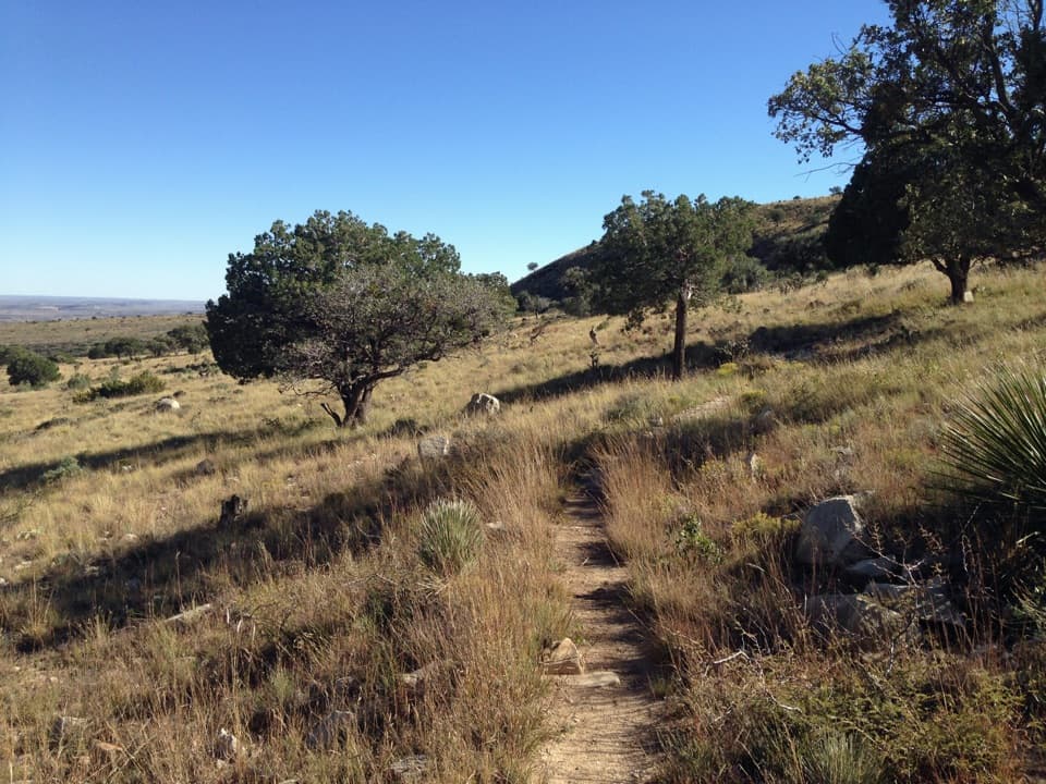
El Capitan Trail in Guadalupe Mountains National Park

Guadalupe Mountains National Park, TX

El Capitan Trail

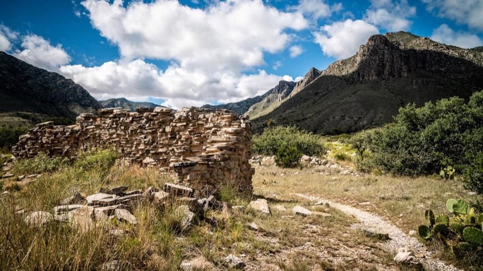
A long desert crossing to an abandoned ranch house

Photo: Wikimedia Commons
Length
9.4mi
Time
6hr
Elev. change
1,434ft
Difficulty
Moderate
  • No dogs
  • High point 6,407 ft

Hear the audio tour

Pine Springs: The Guadalupe Peak Climb

Overview

About El Capitan Trail

Why go

  • Reaches the park’s isolated west side on its only trail there.
  • Fossil reef country ends at a preserved ranch house.

Heads up

  • One-way logistics require a pickup or an 18.8-mile return hike.
  • No route-side water source was confirmed.

Map & elevation

The route

Loading the Guadalupe Mountains map
Full map
Elevation4,974–6,407 ft
TrailheadPine Springs Trailhead31.89641, -104.82787
Keep this map with you offline in the Parkwolf app

Plan your hike

Before you go

Parking

Start at Pine Springs Trailhead. The one-way finish is the Williams Ranch day-use area; Williams Ranch Road requires high-clearance four-wheel drive when safe and open. Confirm road and permit arrangements with the park and arrange your own pickup; otherwise return on foot.

Safety

No reliable water source is listed along the route; carry enough for a full wilderness day. Guadalupe Canyon lies on the route, so avoid the crossing during flash-flood risk. The lower western end is hotter, and Williams Ranch access requires high-clearance 4WD when the road is open. Use a detailed topographic map.

1 active Guadalupe Mountains alert

  • CautionDevil’s Hall wash hazardous when wetDevil’s Hall is a strenuous hike; do not enter the wash when it is wet or water is present. - The wash requires rock scrambling, and its loose gravel and rocks may be unstable.Official details
Guadalupe Mountains alerts
A park ranger sits on a dash-mounted phone, talking, as Parkwolf’s Tour Guide plays “Army Cutworm Moths: A Grizzly Bear Buffet” on Grand Loop Road below Dunraven Pass in Yellowstone
Parkwolf Tour GuideThe highest, rockiest slopes around here are a summer buffet for grizzly bears.

Guadalupe Mountains Tour Guide

Your drive to El Capitan Trail, narrated.

Parkwolf is a GPS audio tour guide for Guadalupe Mountains National Park. As you drive, it chimes in with what’s ahead: hidden gems, upcoming stops, history, geology, and wildlife, right through your car’s speakers.

Recorded for this area

Pine Springs: The Guadalupe Peak Climb
0:00 / 0:24
“You're nearing Pine Springs Trailhead, where the climb to Guadalupe Peak begins.”

Plays on the road 0.2 mi from the trailhead in the Parkwolf Guadalupe Mountains Tour Guide.

More stories near here in the app

  • Pine Springs Visitor Center and the Pinery
  • The Tree with Alligator Bark
  • Why an Airline Marked the Summit
  • Frijole Ranch: An Orchard Fed by Springs
  • 22 audio storiesacross Guadalupe Mountains’s roads, triggered by GPS as you drive
  • Wildlife heatmapsfor Aoudad, Mule Deer, Wild Turkey, and 13 more
  • Works offlinemaps, 32 trails, 34 places, and audio download before you lose signal
  • CarPlay readysimple controls built for the drive
★★★★★
“Fantastic app with many points of information… It’s great to just turn on while you’re driving and it gives you an audio tour of the national Park. We love it!!!!”
JMJamesApp Store review
Download Parkwolf on the App StoreGet Parkwolf on Google Play

4.7 from 8,600+ ratings

Trail guide

Hiking El Capitan Trail

The whole crossingEl Capitan Trail is a 9.

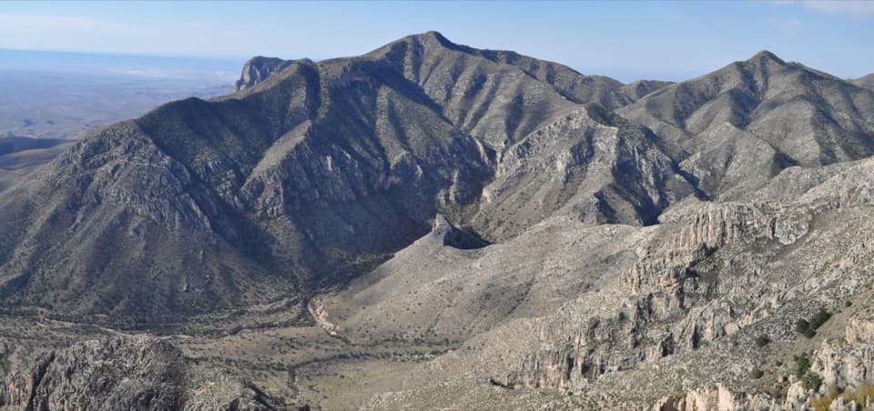
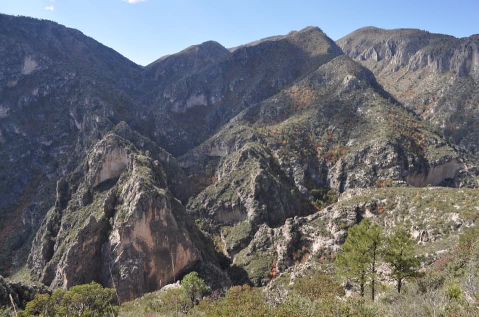
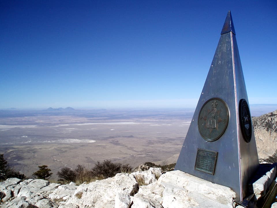
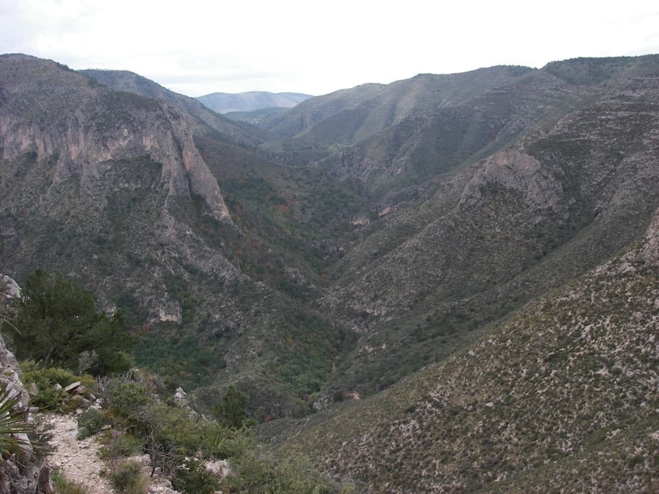
El Capitan Trail is a 9.4-mile, one-way hike from Pine Springs Trailhead to the abandoned Williams Ranch house. It follows the base of El Capitan and the west side of the Guadalupe escarpment. This is a remote point-to-point wilderness walk, not a loop. Allow about six hours on foot, then add time for stops and your return plan. Its reward is a long crossing into a quiet part of the park that only this trail reaches.

Sort out your way backThe distance is one way.

The distance is one way. Unless someone meets you at Williams Ranch, walking back to Pine Springs makes it 18.8 miles. Williams Ranch Road is open only when conditions allow and requires a high-clearance four-wheel-drive vehicle, so don’t assume a regular car or shuttle can reach the finish. Confirm current road and permit arrangements with the park before setting out.

Follow the westbound routeFrom Pine Springs, the first 3.

From Pine Springs, the first 3.4 miles lead to Guadalupe Canyon and the east junction of the Salt Basin Loop. Cross the canyon for another 0.9 mile to that loop’s western junction. The Salt Basin Overlook route turns south and returns to this junction; its 11.3-mile round trip from Pine Springs is a different hike. To reach Williams Ranch, stay on El Capitan Trail and continue 4.7 miles to Shumard Canyon Wilderness Campground, then follow the final 0.4 mile to the ranch.

Walk along an ancient reefThe Guadalupe Mountains expose the remains of a reef that grew along the Delaware Basin about…

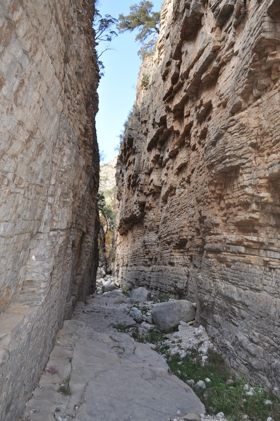
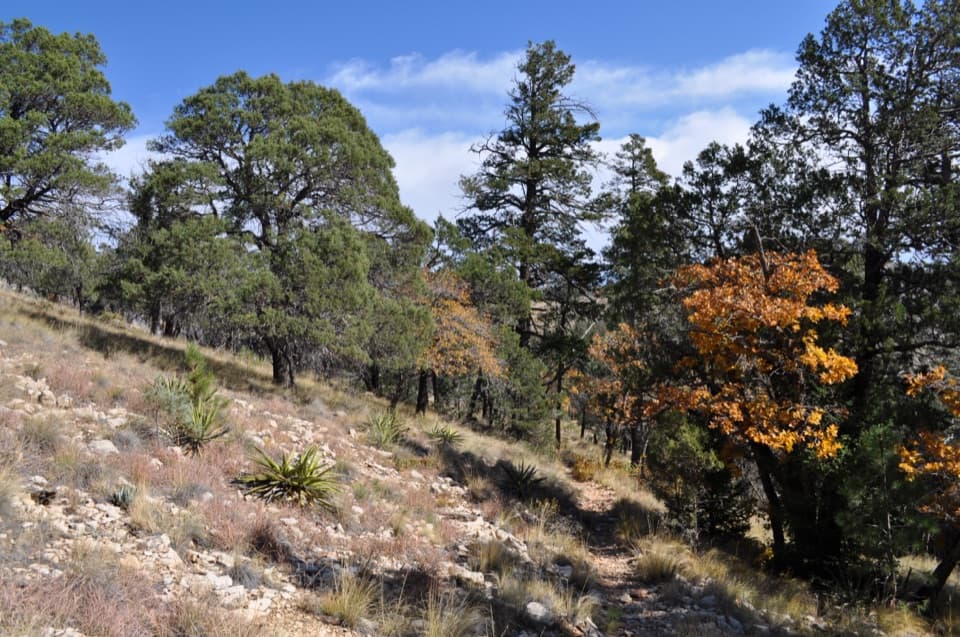
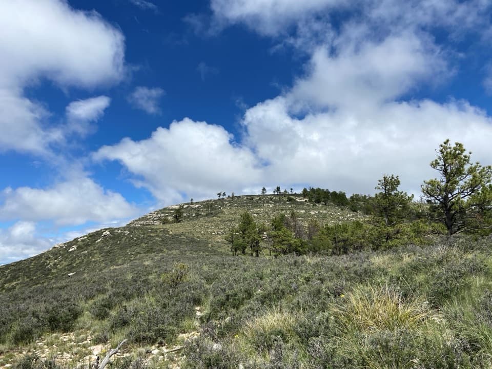
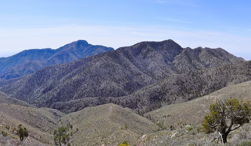
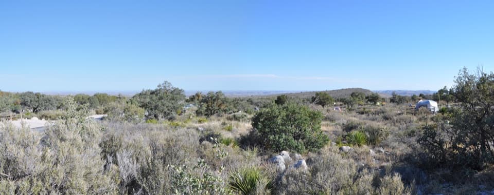
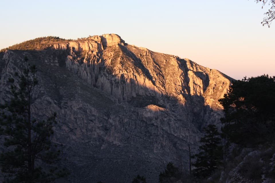
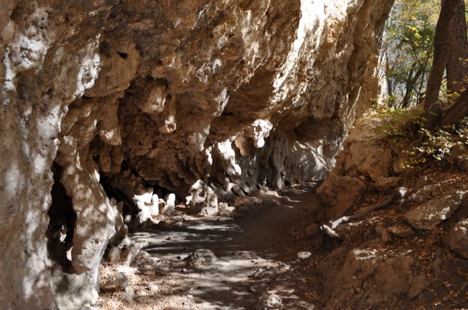
The Guadalupe Mountains expose the remains of a reef that grew along the Delaware Basin about 260 million years ago. El Capitan’s pale limestone cliff was built from the skeletons of marine organisms, and fossils can be seen in rock along the route. Expect the scenery to change from the grassland and shallow ravines near the Pine Springs end to broader views along the west escarpment.

The ranch at the endWilliams Ranch began in 1908; it later took the name of James Adolphus Williams, one of its…

Williams Ranch began in 1908; it later took the name of James Adolphus Williams, one of its inhabitants. The endpoint is a single preserved but abandoned house. It’s a good place to pause before the return: the ranch and the high limestone cliffs behind it give the walk a clear finish.

Water, weather and navigationNo food or reliable water source along the route was found in the park information.

No food or reliable water source along the route was found in the park information. The park recommends carrying a gallon of water per person per day, and the lower country near Williams Ranch runs about 10°F warmer than park headquarters. Summer is hottest, May through September is the rainy and flash-flood season, and winter can bring strong winds. This is wilderness travel: take a detailed topographic map, since the park overview map is not intended for detailed trail navigation. Pets aren’t allowed on this trail.

Wildlife

Wildlife in Guadalupe Mountains

All Guadalupe Mountains wildlife maps

Sighting maps show where each species has been reported across Guadalupe Mountains. Wildlife moves, so no sighting is guaranteed.

Keep exploring

Near El Capitan Trail

See it all on the map

Trails that start nearby

Places near the trailhead

Parkwolf’s Guadalupe Mountains ranking

Top-rated trails in Guadalupe Mountains

All 32 trails
  1. 1Guadalupe Peak TrailChallenging · 8.4 mi
  2. 2The Grotto and Hunter Line ShackModerate · 7 mi
  3. 3McKittrick Canyon Trail to The NotchChallenging · 9 mi
  4. 4Hunter Peak LoopChallenging · 8.7 mi
  5. 5Devil's Hall TrailChallenging · 4.2 mi
  6. 6Smith Spring Trail LoopModerate · 2.3 mi

Take Parkwolf to Guadalupe Mountains.

The audio tour guide for the drive, plus offline maps, trails, and wildlife heatmaps for when the signal drops.

4.7 from 8,600+ ratings

Download Parkwolf on the App StoreGet Parkwolf on Google Play