Foothills Loop in Guadalupe Mountains National Park

Guadalupe Mountains National Park, TX

Foothills Loop

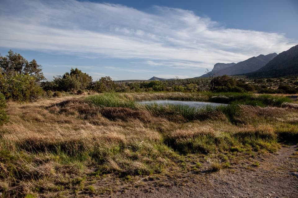
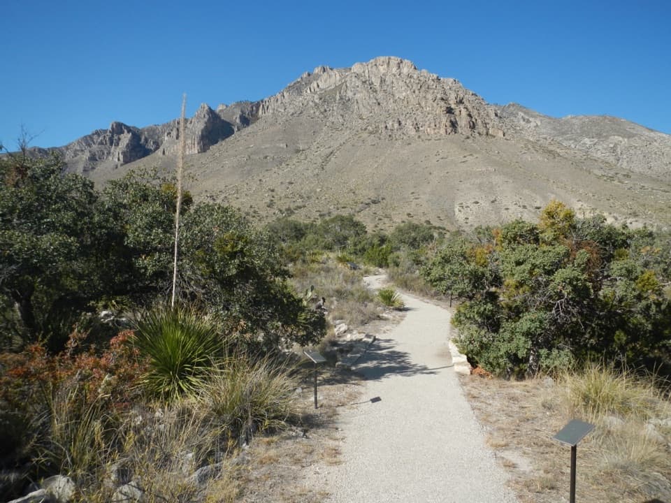
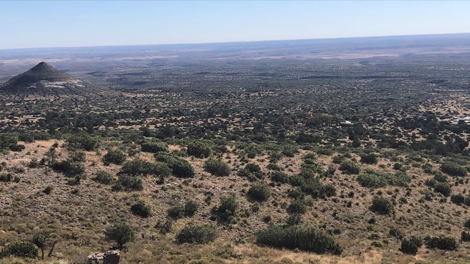
Open grassland and juniper, with Bear Canyon and El Capitan views.

Photo: National Park Service
Length
4.5mi
Time
3hr
Elev. change
748ft
Difficulty
Moderate
  • Loop
  • No dogs
  • High point 6,257 ft

Hear the audio tour

Frijole Ranch: An Orchard Fed by Springs

Overview

About Foothills Loop

Why go

  • Views up Bear Canyon and toward El Capitan
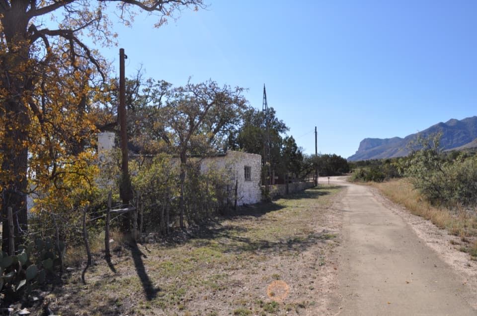
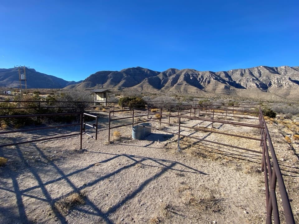
  • Historic Frijole Ranch sits at the trailhead

Heads up

  • Open, exposed sections can be hot in late summer and early fall
  • Loose or hardened rock makes the footing rough

Map & elevation

The route

Loading the Guadalupe Mountains map
Full map
Elevation5,509–6,257 ft
TrailheadFrijole Ranch Trailhead31.90662, -104.80155
Keep this map with you offline in the Parkwolf app

Plan your hike

Before you go

Parking

Start at Frijole Ranch Trailhead. The gravel access road and lot are usable by all vehicles. The lot has 16 car spaces plus 2 accessible spaces; large vehicles park along the outside edge. Parking is free, but a park entrance fee or pass applies.


Safety

The open route is exposed to high temperatures in late summer and early fall. Expect loose or hardened rock on a 2-to-6-foot-wide trail; hiking or trekking poles are strongly recommended. Pets are not allowed.

1 active Guadalupe Mountains alert

  • CautionDevil’s Hall wash dangerous when wetThe Devil’s Hall hike is strenuous, and its wash section is dangerous when wet or if water is present. - The wash requires rock scrambling.Official details
Guadalupe Mountains alerts
A park ranger sits on a dash-mounted phone, talking, as Parkwolf’s Tour Guide plays “Army Cutworm Moths: A Grizzly Bear Buffet” on Grand Loop Road below Dunraven Pass in Yellowstone
Parkwolf Tour GuideThe highest, rockiest slopes around here are a summer buffet for grizzly bears.

Guadalupe Mountains Tour Guide

Your drive to Foothills Loop, narrated.

Parkwolf is a GPS audio tour guide for Guadalupe Mountains National Park. As you drive, it chimes in with what’s ahead: hidden gems, upcoming stops, history, geology, and wildlife, right through your car’s speakers.

Recorded for this area

Frijole Ranch: An Orchard Fed by Springs
0:00 / 0:35
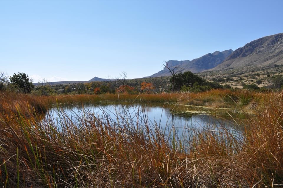
“You're approaching Frijole Ranch, where spring water supported an orchard and a small ranching community. Stop for the old stone house, one-room schoolhouse and shaded grounds.”

Plays on the road 0.1 mi from the trailhead in the Parkwolf Guadalupe Mountains Tour Guide.

More stories near here in the app

  • The Tree with Alligator Bark
  • Water That Pumped Itself
  • Pine Springs Visitor Center and the Pinery
  • Pine Springs: The Guadalupe Peak Climb
  • 22 audio storiesacross Guadalupe Mountains’s roads, triggered by GPS as you drive
  • Wildlife heatmapsfor Aoudad, Mule Deer, Wild Turkey, and 13 more
  • Works offlinemaps, 32 trails, 34 places, and audio download before you lose signal
  • CarPlay readysimple controls built for the drive
★★★★★
“Fantastic app with many points of information… It’s great to just turn on while you’re driving and it gives you an audio tour of the national Park. We love it!!!!”
JMJamesApp Store review
Download Parkwolf on the App StoreGet Parkwolf on Google Play

4.7 from 8,600+ ratings

Trail guide

Hiking Foothills Loop

A lower loop with escarpment viewsFoothills Loop is a moderate 4.

Foothills Loop is a moderate 4.5-mile loop from Frijole Ranch, following parts of the Frijole and Foothills trails below the eastern escarpment. Allow 2 to 4 hours. The park lists 800 feet of elevation change. This is a good choice if you want a lower walk with open grassland and mountain views instead of a summit climb. Starting at Pine Springs makes the same loop 5.5 miles round trip.

Pick a directionThe park describes both ways around: Frijole Trail first for a high-to-low walk, or Foothills…

The park describes both ways around: Frijole Trail first for a high-to-low walk, or Foothills Trail first for low-to-high. Both cover the same loop. The two named trails join at both ends of the loop; use the park map to follow the circuit through the junctions. No reservation is required, but park entry requires a fee or pass. Pets are not allowed on park trails.

Rock underfoot, sun overheadExpect loose or hardened rock, with trail width changing from about 2 to 6 feet.

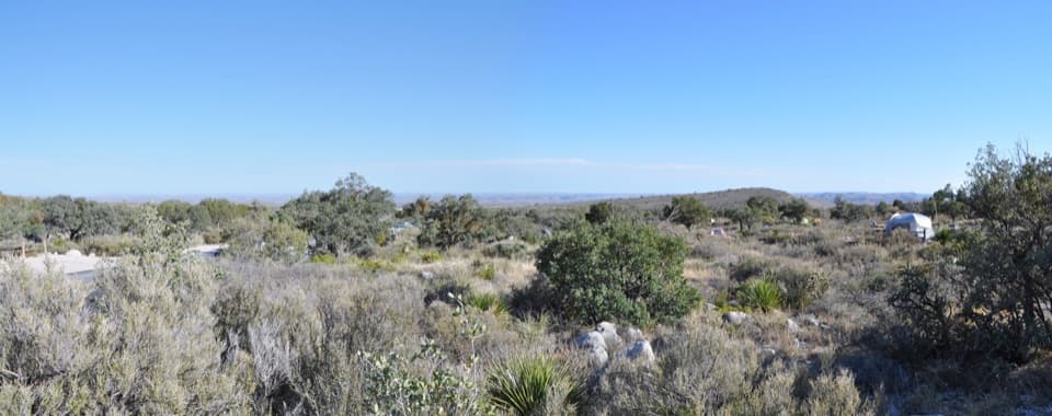
Expect loose or hardened rock, with trail width changing from about 2 to 6 feet. The park strongly recommends hiking or trekking poles. The open Foothills stretch crosses juniper-dotted grassland and is exposed to late-summer and early-fall heat. The park describes the route as a year-round walk in good weather, but the exposed season can make the hike feel much hotter than its moderate rating suggests.

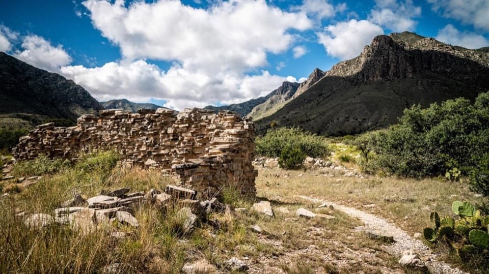
Look toward Bear CanyonThe route stays below the escarpment, with views up Bear Canyon and toward El Capitan.

The route stays below the escarpment, with views up Bear Canyon and toward El Capitan. Deer are not unusual here. When the view opens, include some of the scrubby lower slope in a photo; it helps show how the mountain wall rises above this foothill country.

Frijole Ranch is part of the stopThe historic ranch sits at the trailhead, not halfway around the loop.

The historic ranch sits at the trailhead, not halfway around the loop. Its old headquarters is a small history museum, with a one-room schoolhouse and spring house nearby. Spring water once supported life and farming here, with channels carrying it through the courtyard. Picnic tables sit by the parking area and beneath the large shade trees in the courtyard, a useful place to rest before or after the walk.

Wildlife

Wildlife in Guadalupe Mountains

All Guadalupe Mountains wildlife maps

Sighting maps show where each species has been reported across Guadalupe Mountains. Wildlife moves, so no sighting is guaranteed.

Keep exploring

Near Foothills Loop

See it all on the map

Trails that start nearby

Places near the trailhead

Parkwolf’s Guadalupe Mountains ranking

Top-rated trails in Guadalupe Mountains

All 32 trails
  1. 1Guadalupe Peak TrailChallenging · 8.4 mi
  2. 2The Grotto and Hunter Line ShackModerate · 7 mi
  3. 3McKittrick Canyon Trail to The NotchChallenging · 9 mi
  4. 4Hunter Peak LoopChallenging · 8.7 mi
  5. 5Devil's Hall TrailChallenging · 4.2 mi
  6. 6Smith Spring Trail LoopModerate · 2.3 mi

Take Parkwolf to Guadalupe Mountains.

The audio tour guide for the drive, plus offline maps, trails, and wildlife heatmaps for when the signal drops.

4.7 from 8,600+ ratings

Download Parkwolf on the App StoreGet Parkwolf on Google Play