Parking
Use the Frijole Ranch Trailhead at the end of Frijole Ranch Road. The lot is beside the historic compound, with shade structures, picnic tables, drinking fountains and vault toilets.
Guadalupe Mountains National Park, TX
A short paved walk through an old orchard to a spring.
Overview
Map & elevation
Plan your hike

The highest, rockiest slopes around here are a summer buffet for grizzly bears.
Guadalupe Mountains Tour Guide
Parkwolf is a GPS audio tour guide for Guadalupe Mountains National Park. As you drive, it chimes in with what’s ahead: hidden gems, upcoming stops, history, geology, and wildlife, right through your car’s speakers.
Recorded for this trailhead
Frijole Ranch: An Orchard Fed by Springs“You're approaching Frijole Ranch, where spring water supported an orchard and a small ranching community. Stop for the old stone house, one-room schoolhouse and shaded grounds.”
Plays as you drive up to this trailhead in the Parkwolf Guadalupe Mountains Tour Guide.
More stories near here in the app
“Fantastic app with many points of information… It’s great to just turn on while you’re driving and it gives you an audio tour of the national Park. We love it!!!!”


Trail guide
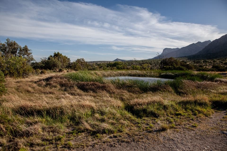
Manzanita Spring Trail is a paved 0.5-mile out-and-back from Frijole Ranch through the Smith family's old orchard to a broad spring pool. Allow 20 to 30 minutes. It's a good short stop when you want an easy walk without taking on one of the park's longer climbs. The Smith Spring Trail continues beyond the pool on rougher ground; turn around at the spring for this route.
The spring is a wide pool edged by reeds. The vegetation can partly hide the water, so expect a modest spring rather than a clear open pond. The park calls it a good place to watch for wildlife: look for violet-green swallows and white-throated swifts overhead, or mule deer, elk, javelina and gray fox around the ranch country. Sightings are never guaranteed.
Before the Smith family settled here, a bog surrounded the water. Maps from the 1870s and 1880s called it Cienaga (Bog), Tule (Rush) and Escondido (Hidden) Spring. The Smiths dredged the pool and used its water to irrigate their garden and 15-acre orchard. They hauled their produce about 65 miles to Van Horn by wagon, a two-day trip. The spring is the reason this patch of dry mountain country could support a ranch.
Frijole Ranch parking is at the end of Frijole Ranch Road. Picnic tables under shade structures, drinking fountains and vault toilets are beside the lot. A park entry fee applies; no reservation is required. The route is identified as paved and accessible, though one older visitor report described damaged or missing pavement. Check the current surface if continuous accessible paving matters. Pets aren't allowed on trails; trained service animals are permitted.
Wildlife
 33 sightingsAoudadMost seen around 6 AMSighting map
 163 sightingsMule DeerMost seen around 6 AMSighting map
 11 sightingsWild TurkeyMost seen around 7 AMSighting map
 34 sightingsCollared PeccaryMost seen around 7 AMSighting map
 39 sightingsDiamondback RattlesnakeMost seen around 6 PMSighting map
 43 sightingsBlack-tailed RattlesnakeMost seen around 7 PMSighting map
Sighting maps show where each species has been reported across Guadalupe Mountains. Wildlife moves, so no sighting is guaranteed.
Keep exploring
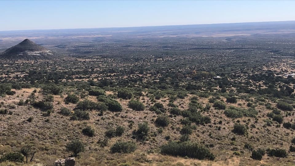 ModerateFoothills Loop4.5 mi · 3 hr · At the trailheadOpen grassland and juniper, with Bear Canyon and El Capitan views.
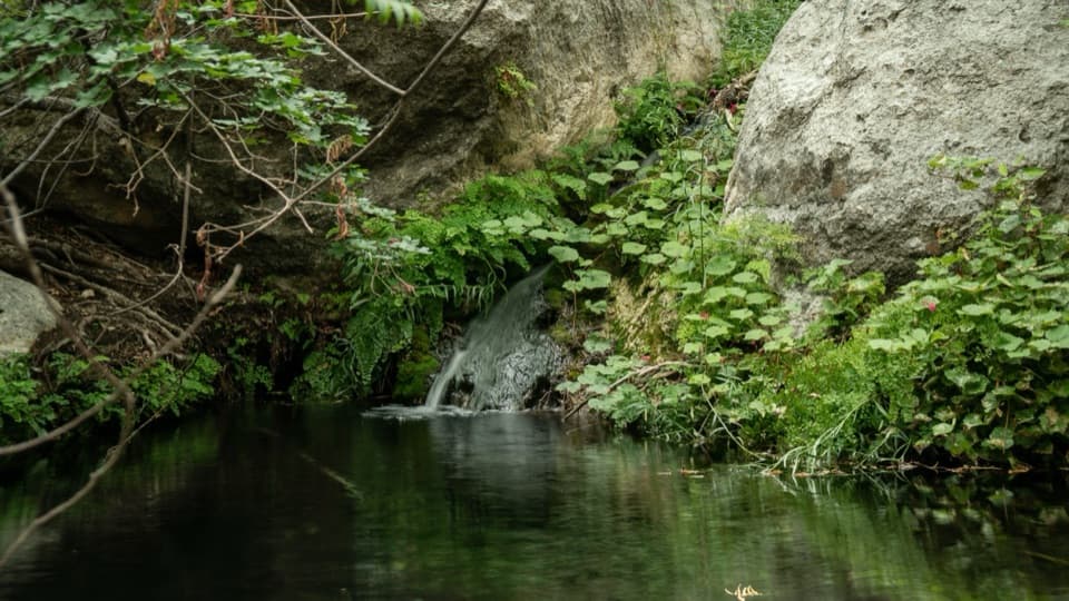 ModerateSmith Spring Trail Loop2.3 mi · 1.5 hr · 0.1 mi awayA desert loop to a shady spring and tiny waterfall.
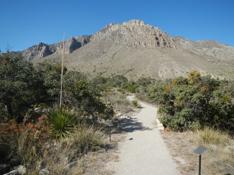 EasyPinery Trail0.8 mi · 25 min · 1.5 mi awayA quick paved walk to an 1858 Butterfield stage station.
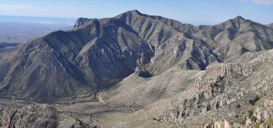 ChallengingHunter Peak Loop8.7 mi · 7 hr · 1.7 mi awayBear Canyon up, Tejas down, and a summit over the desert.
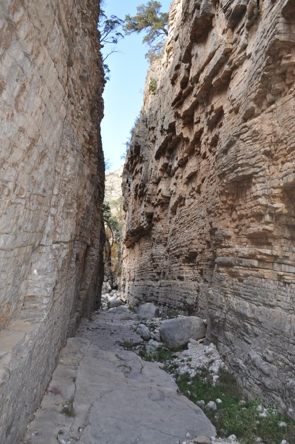 ChallengingDevil's Hall Trail4.2 mi · 4 hr · 1.7 mi awayBoulder scrambling leads to a natural staircase and narrow canyon hall.
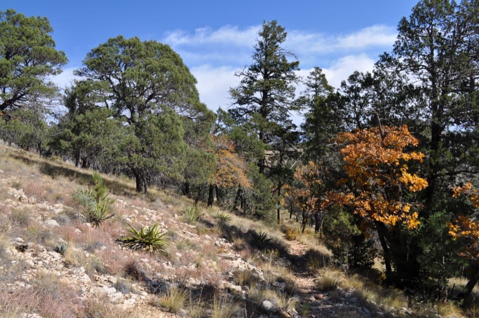 ChallengingBowl Trail11 mi · 9 hr · 1.7 mi awayA long Tejas climb reaches a remnant forest in the high country.
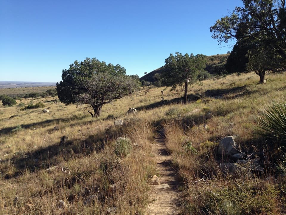 ChallengingSalt Basin Overlook Trail11.3 mi · 8 hr · 1.7 mi awayA long, open loop to the Salt Basin’s wide western views.
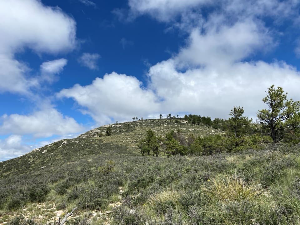 ChallengingBush Mountain Summit Hike13.3 mi · 8.5 hr · 1.7 mi awayA long ridge hike to Texas’s second-highest summit.
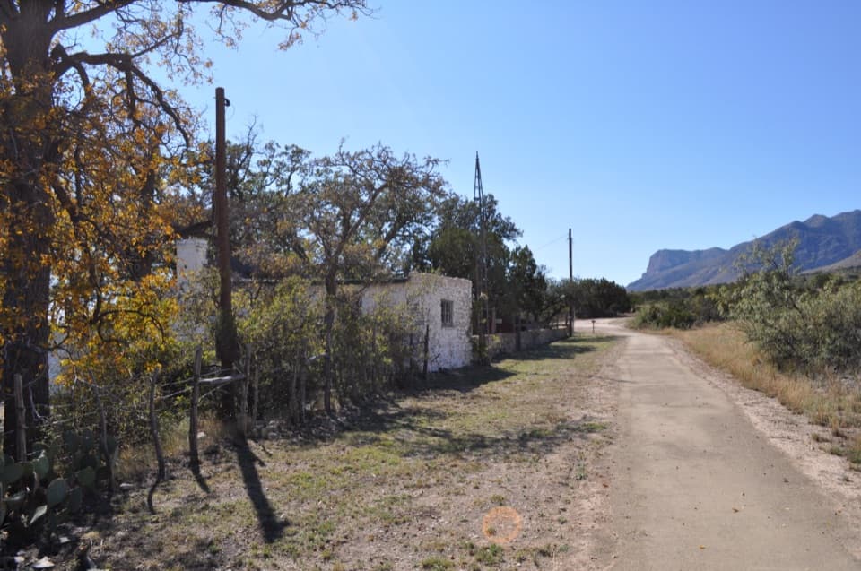 Sight · 0.1 mi awayFrijole Ranch MuseumA spring-fed ranch oasis with a schoolhouse and orchard.
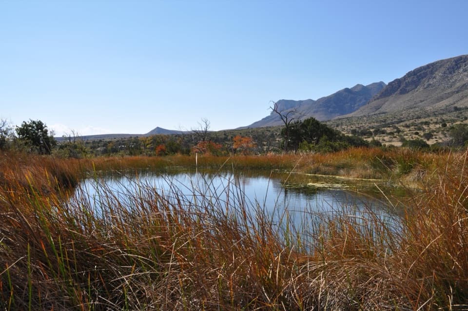 Sight · 0.3 mi awayManzanita SpringShort spring walk, ranch history, and a chance to see desert birds.
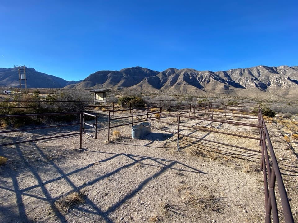 Campground · 0.5 mi awayFrijole Horse Corral CampgroundHorse camping with a clear view of the park's high peaks.Sight · 0.9 mi awaySmith SpringA small cascade feeds a shady pool under the eastern escarpment.
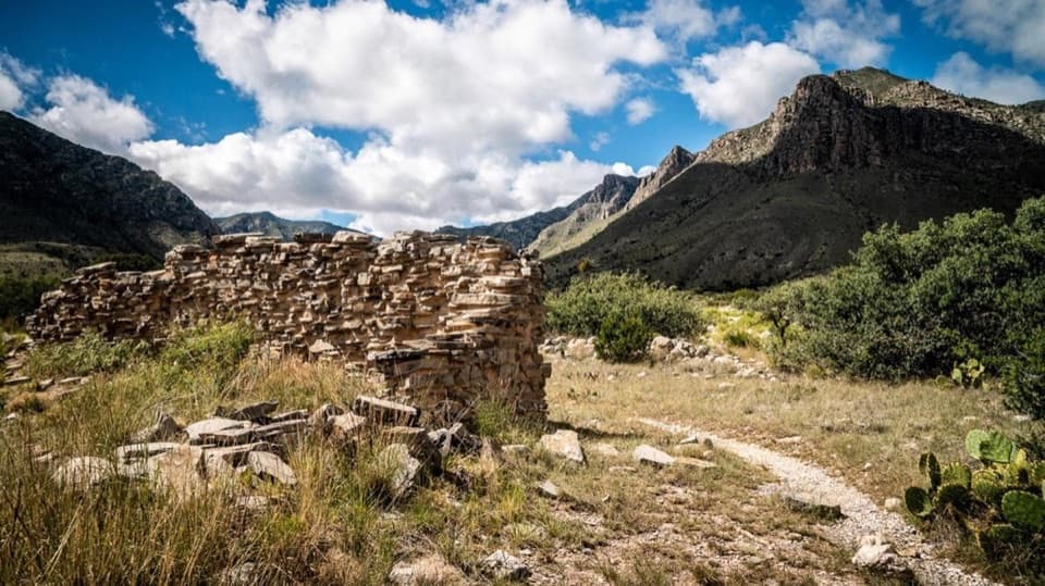 Sight · 1.3 mi awayThe PineryAn easy walk to the Butterfield route's highest station.
 Visitor center · 1.5 mi awayPine Springs Visitor CenterStart here for permits, maps, and advice before your hike.
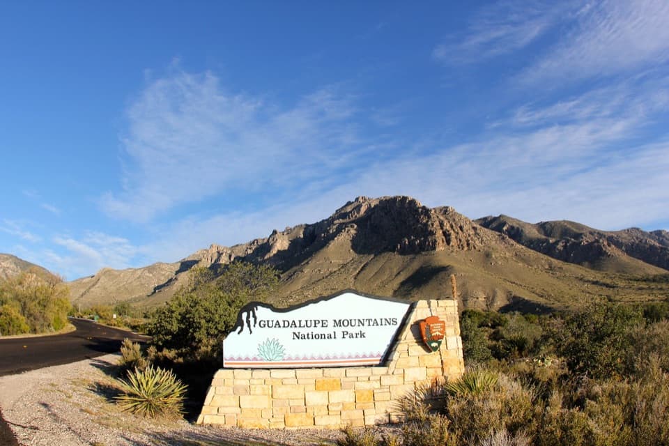 Sight · 1.5 mi awayGuadalupe Mountains National Park Entrance Sign (Pine Springs)A quick entrance photo with Hunter Peak behind the sign.
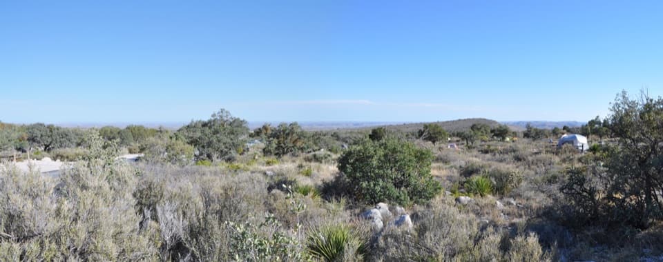 Campground · 1.7 mi awayPine Springs CampgroundA practical hiking base with tent sites, RV space, and mountain views.
Parkwolf’s Guadalupe Mountains ranking

The audio tour guide for the drive, plus offline maps, trails, and wildlife heatmaps for when the signal drops.