Parking
Start at the southwestern terminus at the top of Olinda Road. This is point to point; current parking and return transport from the park boundary were not verified, so plan transportation before starting.
Haleakalā National Park, HI
A steep historic route, traced more by survey than by tread.
Overview
Map & elevation
Plan your hike

The highest, rockiest slopes around here are a summer buffet for grizzly bears.
Haleakalā Tour Guide
Parkwolf is a GPS audio tour guide for Haleakalā National Park. As you drive, it chimes in with what’s ahead: hidden gems, upcoming stops, history, geology, and wildlife, right through your car’s speakers.
More stories near here in the app
“Fantastic app with many points of information… It’s great to just turn on while you’re driving and it gives you an audio tour of the national Park. We love it!!!!”


Trail guide
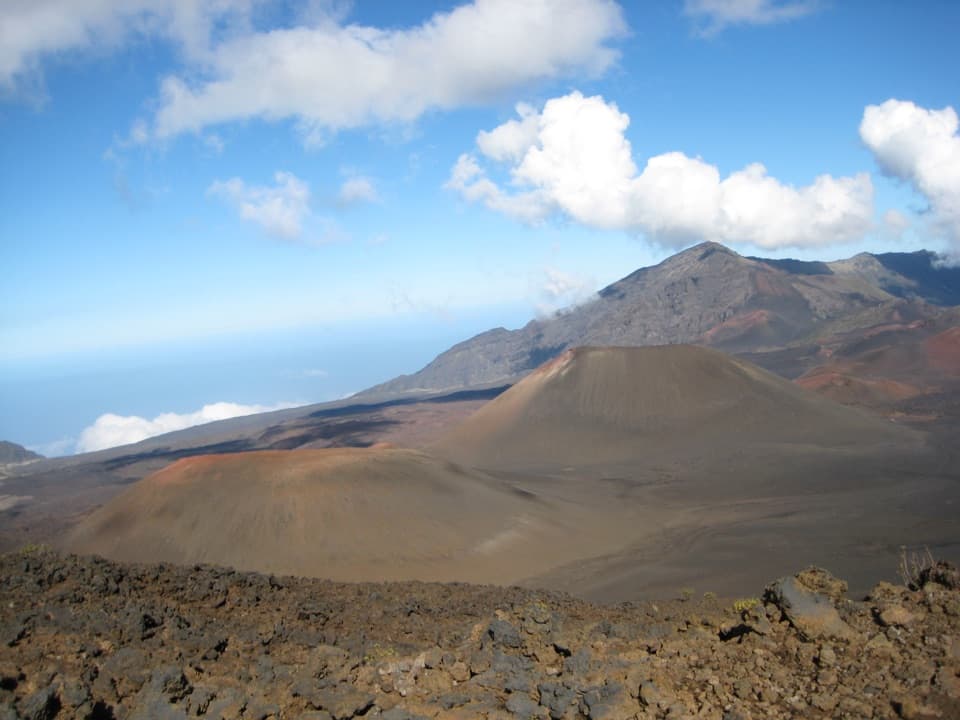
The Old Haleakalā Trail follows the court-surveyed public corridor from the top of Olinda Road to the west boundary of Haleakalā National Park: 4.4 miles one way. It climbs about 2,750 feet, from roughly 4,000 to 6,750 feet, through ranchland and steep gulches. It stops at the park boundary, not the crater summit. This is a narrow legal right-of-way, not a built hiking path. There is no dependable published completion time; six hours is only a rough planning estimate for the difficult one-way traverse.
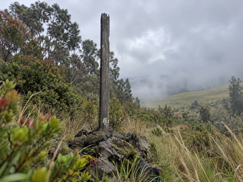
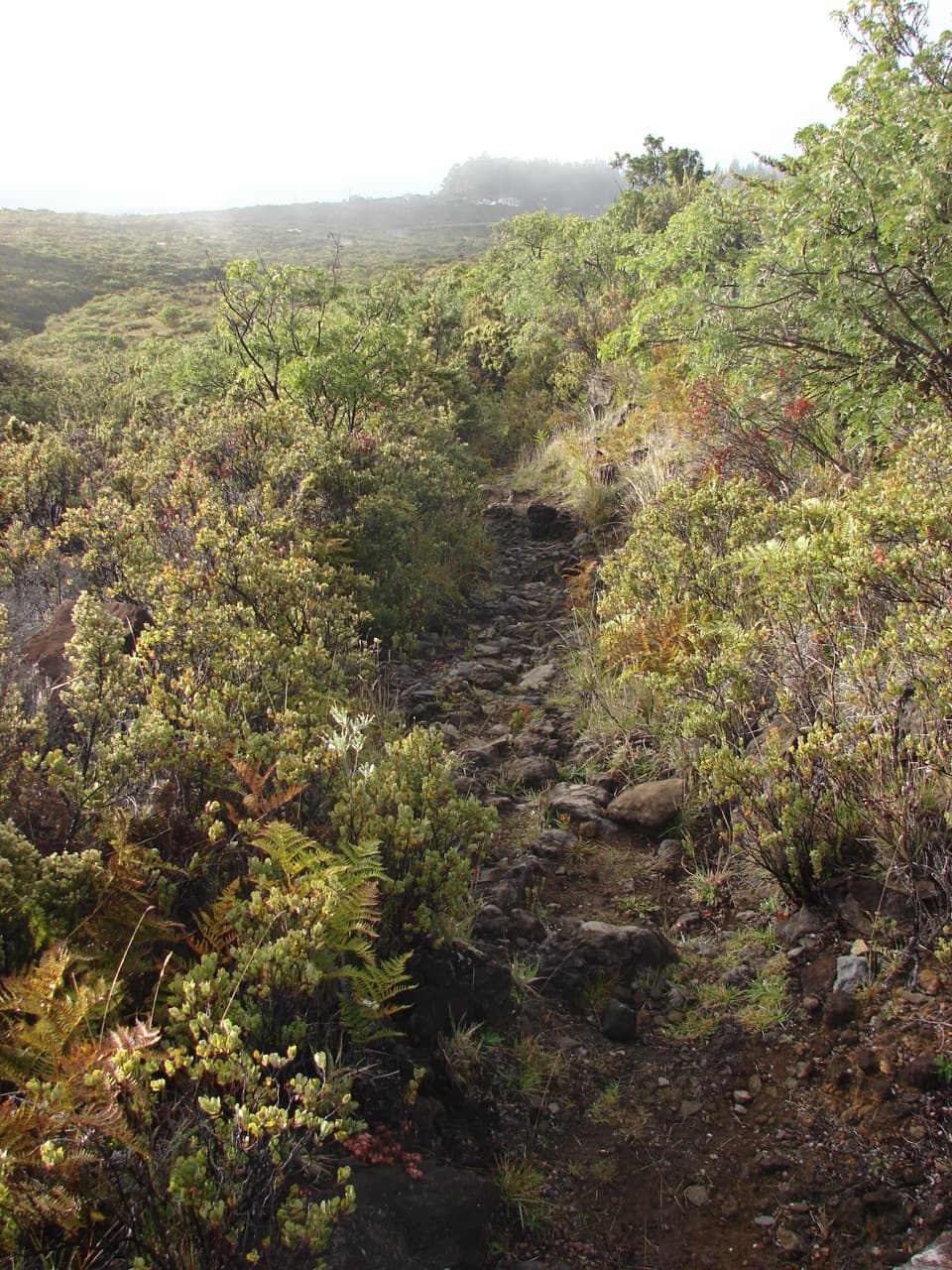
The state says the route has not been maintained for decades, is invisible in many places, and is heavily overgrown. It warns that steep gulches have footing it does not recommend for safe pedestrian use. The six-foot legal strip is hard to follow, and straying from it can mean trespassing on nearby ranch land. Difficulty: 9/10. Confirm current access and route marking with the state before going, and don't treat a line on a map as a visible trail. No current parking, return shuttle, or trailhead facilities could be verified, so sort out transport before setting out.
Built in 1905 for horseback and mule travel to Haleakalā, the Bridle Trail succeeded an older route. The measured line in this record follows the Olinda Road-to-park-boundary corridor, not a trip to the crater. Hiking-group outings list longer versions that start higher on Crater Road or Haleakalā Highway and descend to Olinda Road; those add a different start and shuttle logistics, so their mileage doesn't describe this route.
Wildlife
 442 sightingsHawaiian GooseMost seen around 7 AMSighting map
 28 sightingsHawaiian Short-eared OwlMost seen around 6 AMSighting map
 22 sightingsGreen Sea TurtleMost seen around 11 AMSighting map
 645 sightingsʻIʻiwiMost seen around 8 AMSighting map
 360 sightingsʻApapaneMost seen around 9 AMSighting map
 207 sightingsHawaiʻi ʻAmakihiMost seen around 7 AMSighting map
Sighting maps show where each species has been reported across Haleakalā. Wildlife moves, so no sighting is guaranteed.
Keep exploring
 ModerateSupply Trail4.6 mi · 2.8 hr · 3.3 mi awayA steady shrubland climb to the Halemauʻu Trail junction
 EasyHosmer Grove Nature Trail0.5 mi · 30 min · 3.4 mi awayA quick birding loop with a forestry story from 1909.
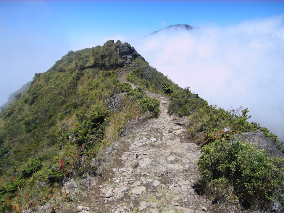 ModerateHalemauʻu Trail2.7 mi · 2.5 hr · 4.6 mi awayA short trail to a natural bridge at the crater rim.
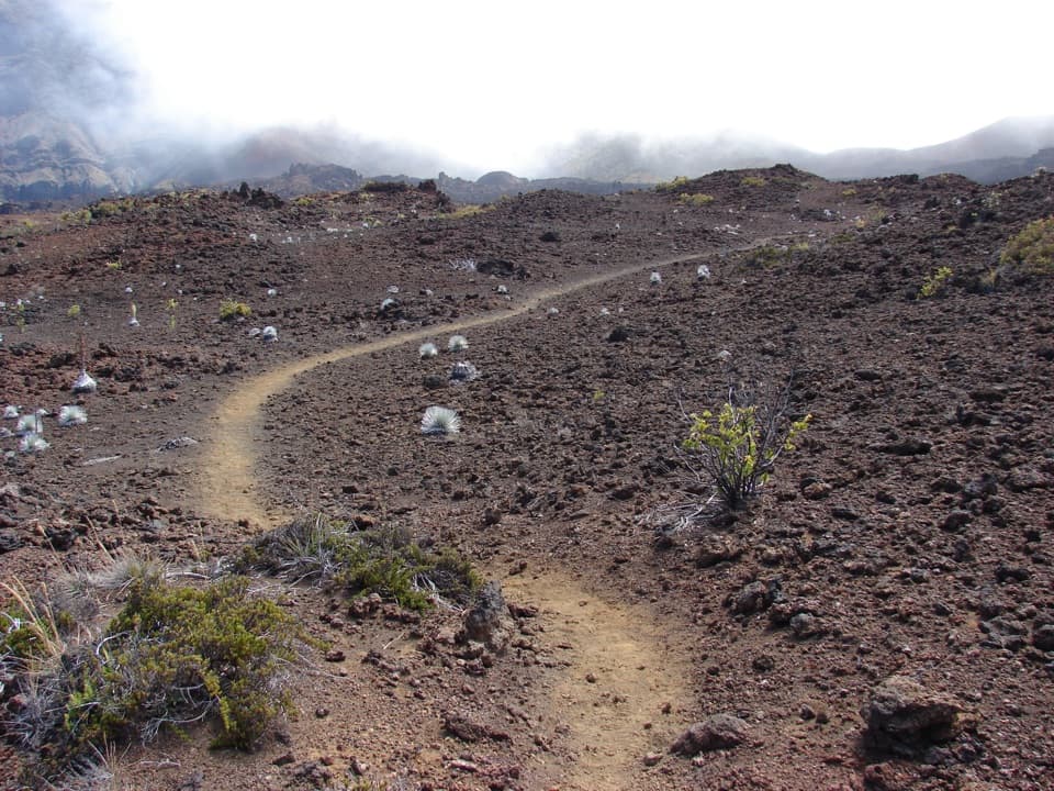 ChallengingSilversword Loop via Halemauʻu Trail10 mi · 8 hr · 4.6 mi awayA long crater descent to the silversword loop.
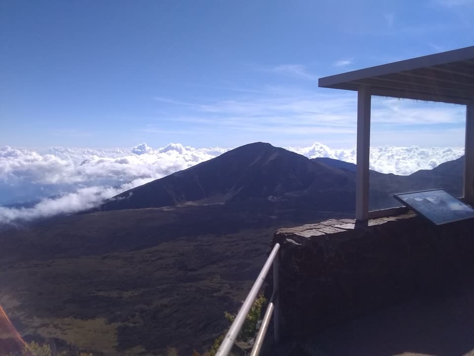 EasyLeleiwi Overlook Trail0.3 mi · 30 min · 5 mi awayA short uphill walk to one of Haleakalā’s crater views.
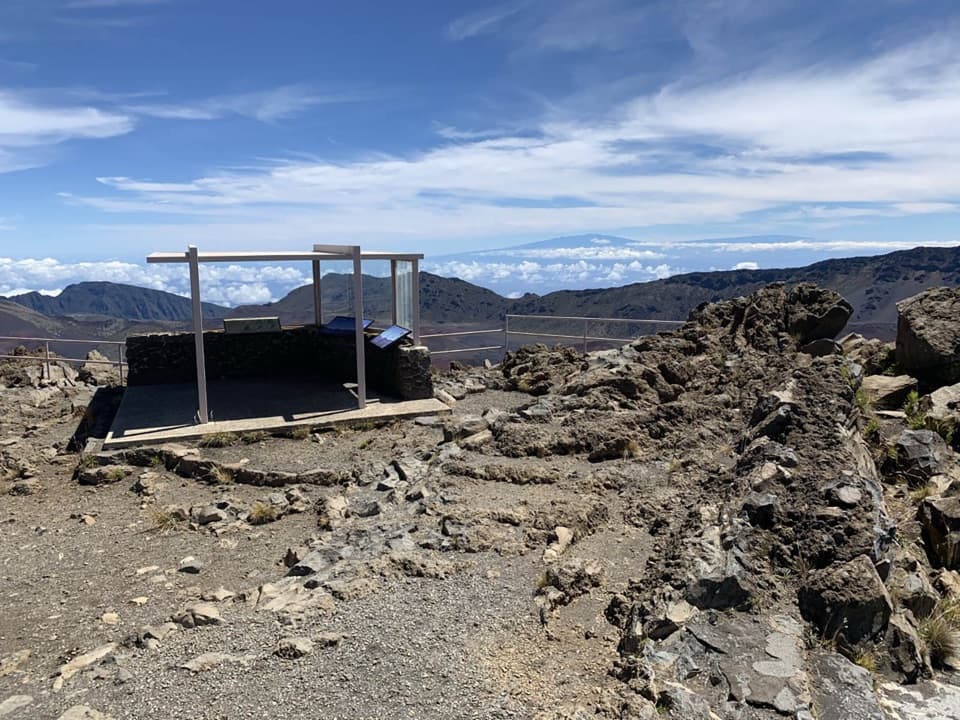 EasyKalahaku Overlook Trail0.1 mi · 30 min · 5.3 mi awayA short crater-rim walk to a historic shelter and huge views.
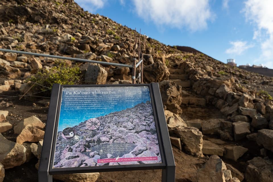 EasyPā Kaʻoao Trail0.4 mi · 36 min · 6.3 mi awayShort climb, crater views, and a hillside of old stone enclosures.
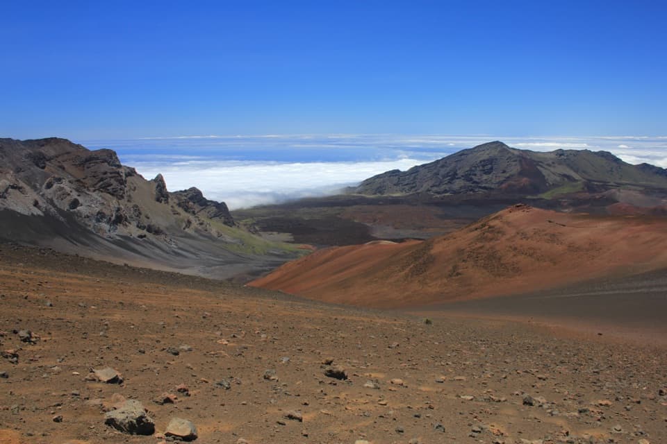 ChallengingKeoneheʻeheʻe (Sliding Sands) Trail7.8 mi · 8 hr · 6.4 mi awayDescend into the crater; save some strength for the climb out.
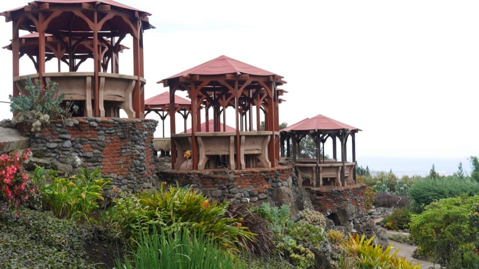 Lodging · 2.8 mi awayKula LodgeA historic garden lodge and practical meal stop in Upcountry Maui.
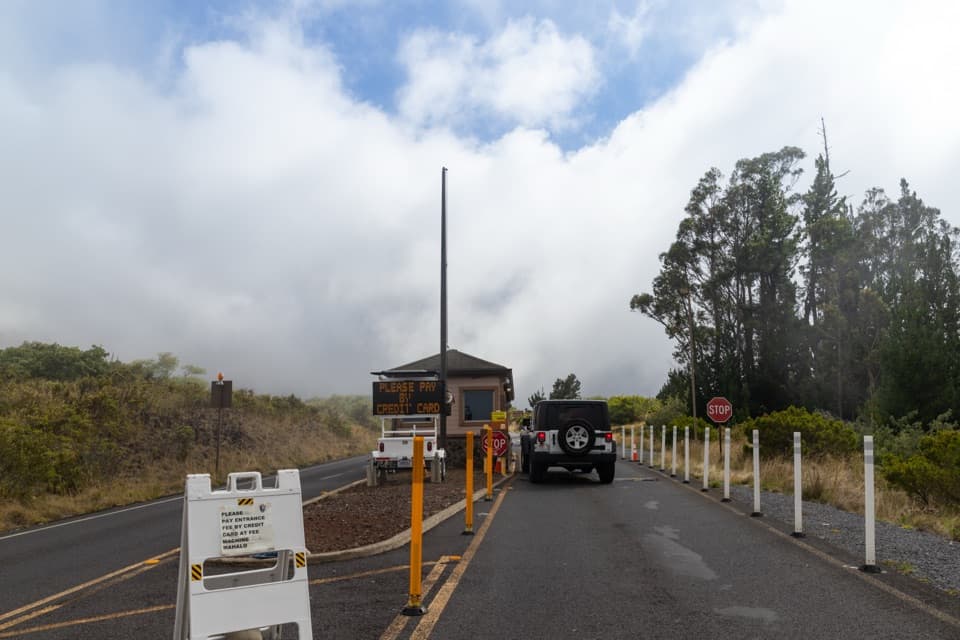 Entrance station · 3.1 mi awaySummit District Entrance StationGet your pass and map before the half-hour drive to the summit.
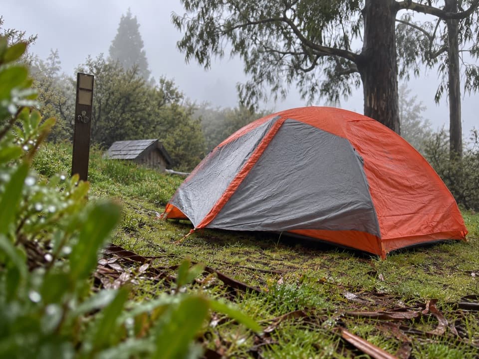 Campground · 3.4 mi awayHosmer Grove CampgroundSix tent sites, a short forest loop, and native birds at dawn.
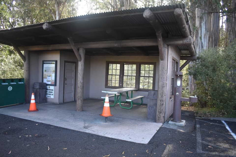 Picnic area · 3.4 mi awayHosmer Grove Picnic ShelterA covered picnic stop with a short birding trail behind it.Sight · 3.5 mi awayHosmer Grove Birdwatching ViewpointA quiet pause for native birds, with a fixed viewfinder.
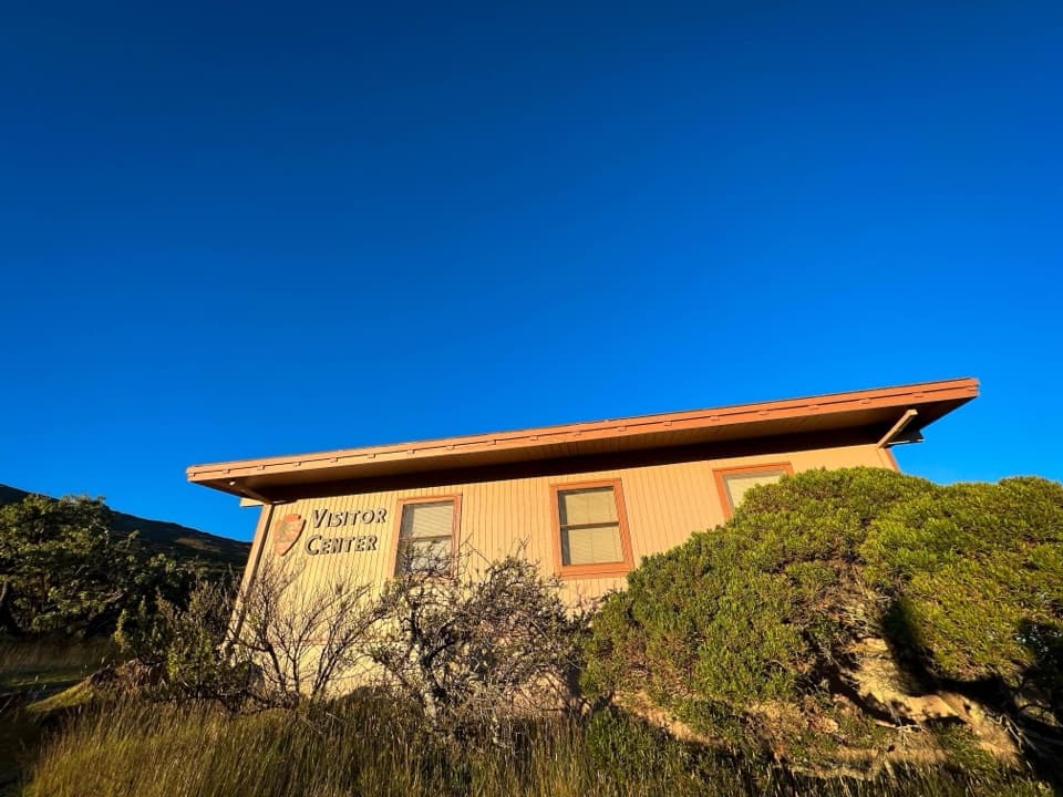 Visitor center · 3.5 mi awayHeadquarters Visitor CenterA useful first stop for trail advice and East Maui’s geology.
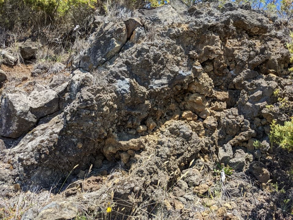 Scenic pullout · 3.6 mi awayHeadquarters Pull-OffA roadcut lets you read ʻāʻā lava from rough edges inward.
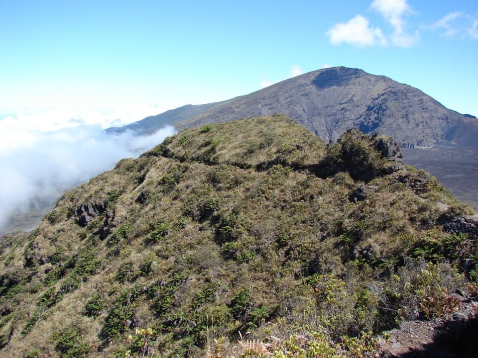 Sight · 5 mi awayRainbow BridgeA natural bridge between Koʻolau Gap and the crater floor
Parkwolf’s Haleakalā ranking

The audio tour guide for the drive, plus offline maps, trails, and wildlife heatmaps for when the signal drops.