
All Hawaiʻi Volcanoes trails
33 trails
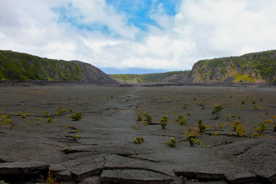 1Kīlauea Iki TrailCross a solidified lava lake beneath Puʻupuaʻi
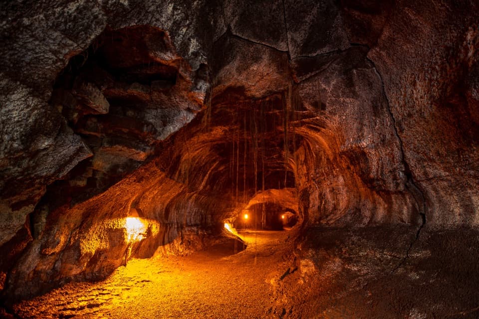 2Nāhuku (Thurston Lava Tube) TrailA short ferny walk leads into a 500-year-old lava tube.
 3Maunaulu / Puʻuhuluhulu TrailCross 1969 lava flows to a forested cone and its viewing platform.
 4Puʻuloa Petroglyphs TrailRough lava footing leads to Hawaiʻi’s largest petroglyph field.
 5Crater Rim TrailA 3.8-mile out-and-back from Kīlauea Overlook to Volcano House.
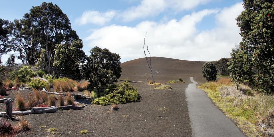 6Devastation TrailA short paved walk through cinder from Kīlauea Iki’s 1959 eruption.
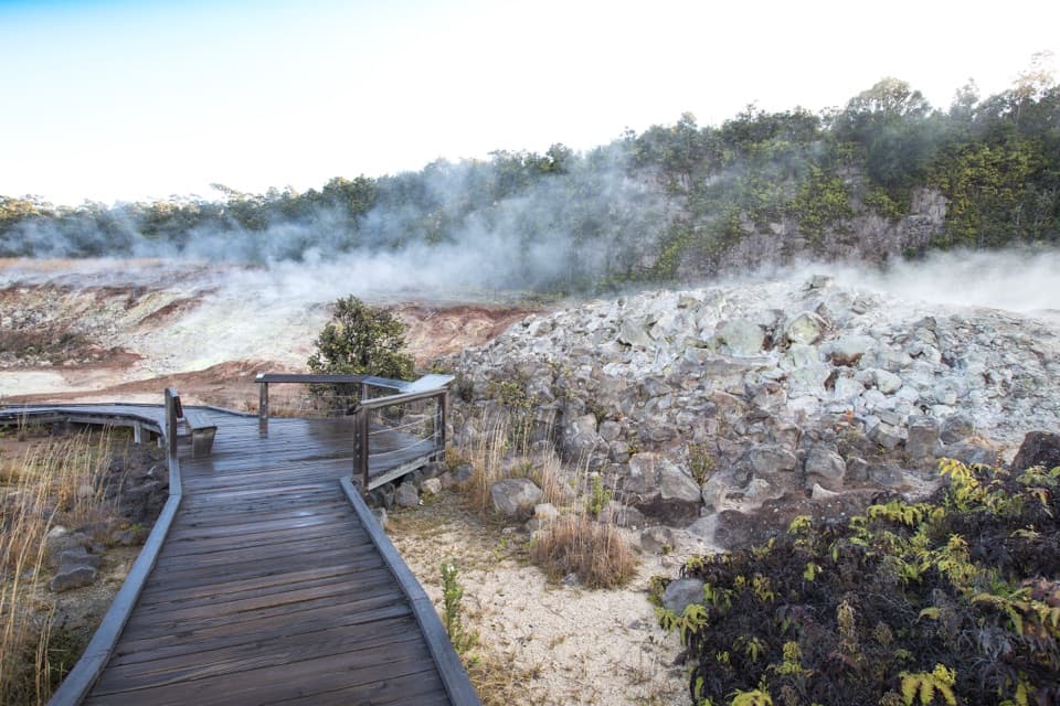 7Haʻakulamanu (Sulphur Banks) TrailA short boardwalk walk past yellow sulfur and rising steam.
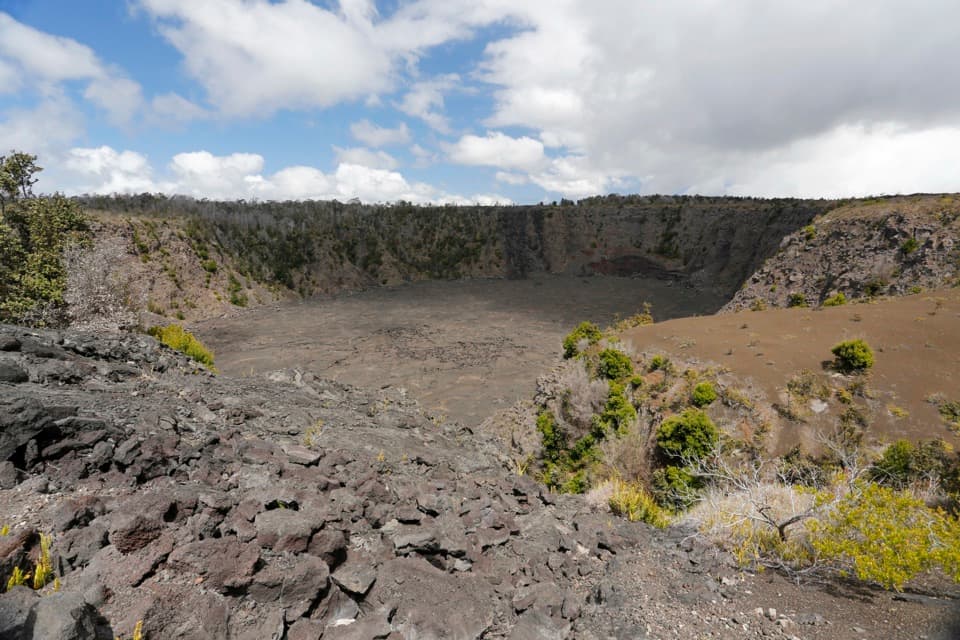 8Keanakākoʻi Crater TrailAn easy walk on a former road reaches a 115-foot crater.
 9Nāpau TrailCross old lava rivers into a fern forest and a crater overlook.
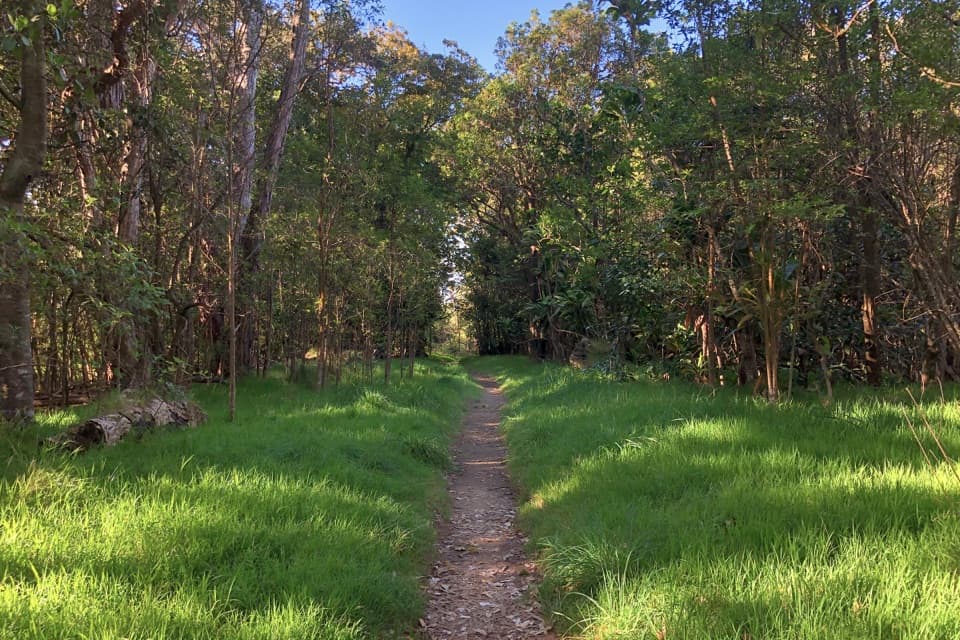 10Kīpukapuaulu TrailA shaded loop through an ancient forest island in younger lava.
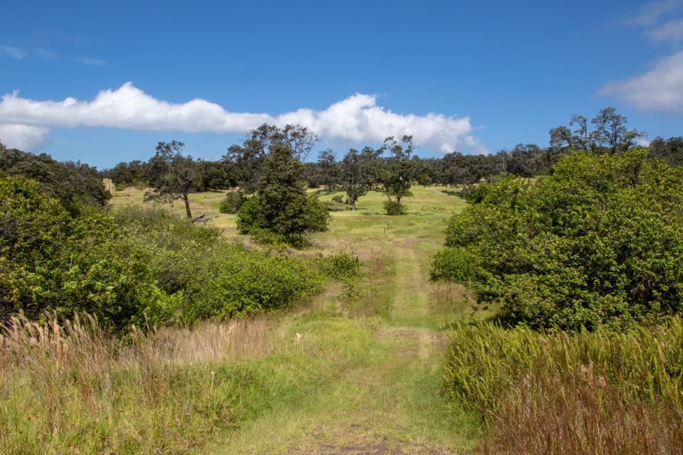 11Palm TrailFollow an 1868 lava fissure through old ranchland and open pasture.
 12Halemaʻumaʻu TrailA short rainforest descent opens onto Kīlauea’s caldera floor.
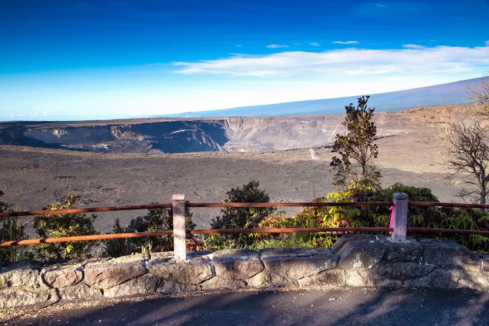 13Kūpinaʻi Pali (Waldron Ledge) TrailA short paved route to a broad caldera view
 14Makaopuhi Crater TrailA long lava crossing opens at a steep, forested crater rim.
 15Puna Coast Trail to ʻĀpua PointA long lava coast walk ends beneath ʻĀpua’s coconut grove.
 16Uēaloha (Byron Ledge) TrailOpen cinder, forested ledge, and views of Puʻupuaʻi.
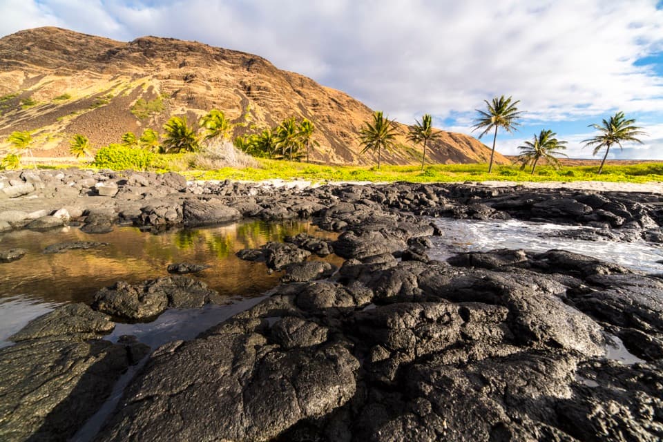 17Hilina Pali Trail to HalapēA long, hot lava descent to a remote coconut-lined shore.
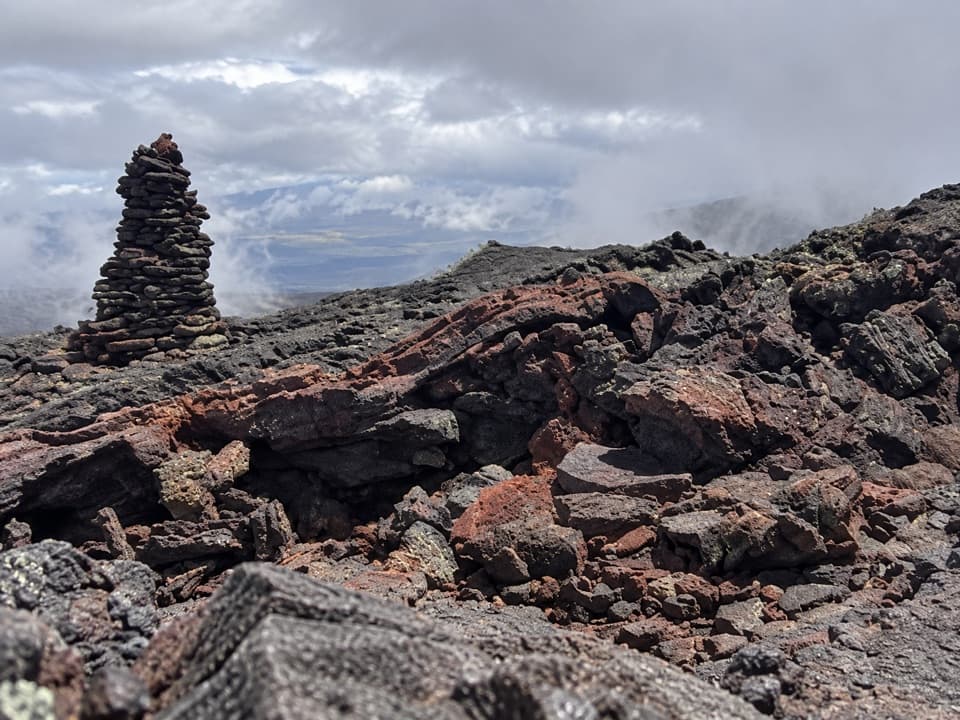 18Mauna Loa Observatory TrailA full-day lava climb to Mauna Loa’s 13,681-foot summit.
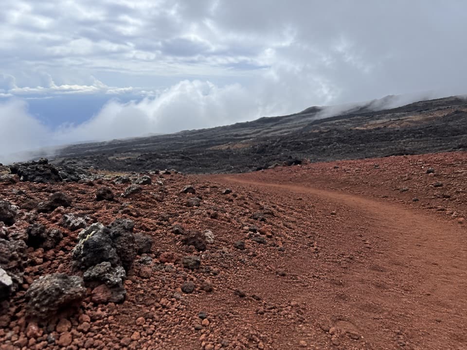 19Mauna Loa Trail to Puʻuʻulaʻula (Red Hill) CabinClimb 3,373 feet to Red Hill Cabin on Mauna Loa
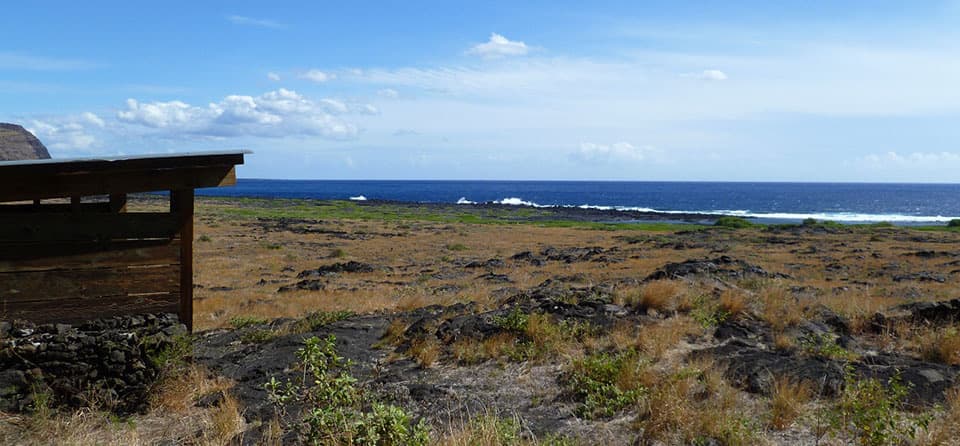 20Kaʻaha TrailA rocky cove rewards a steep, sun-baked climb back up the pali.
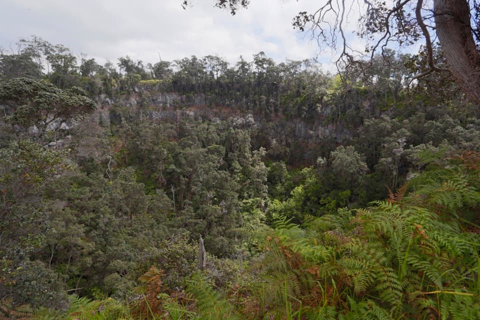 21The Glover TrailPasture paths end at a rainforest tucked inside a crater.22Pit Crater TrailA steep climb through koa pasture to a forest-filled crater.
 23Nāulu TrailA steady climb over rough lava links Kealakomo with the Nāpau junction.
 24Footprints TrailAn easy, exposed walk to a shelter interpreting Kaʻū Desert footprints.
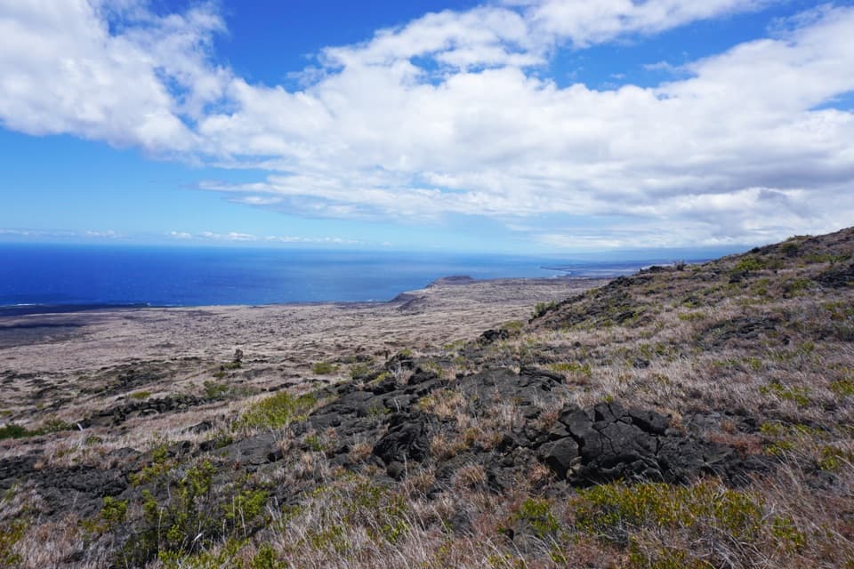 25Keauhou TrailLava ridges lead to a freshwater seep on the remote coast.
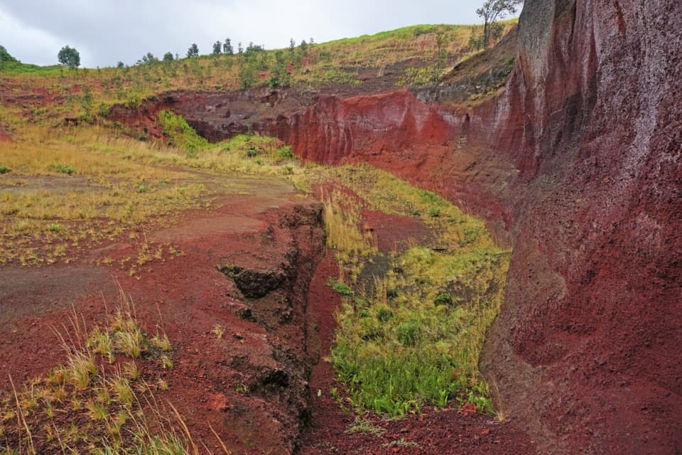 26Puʻu o Lokuana TrailA ranch-road loop through a green kīpuka and red cinder cone.
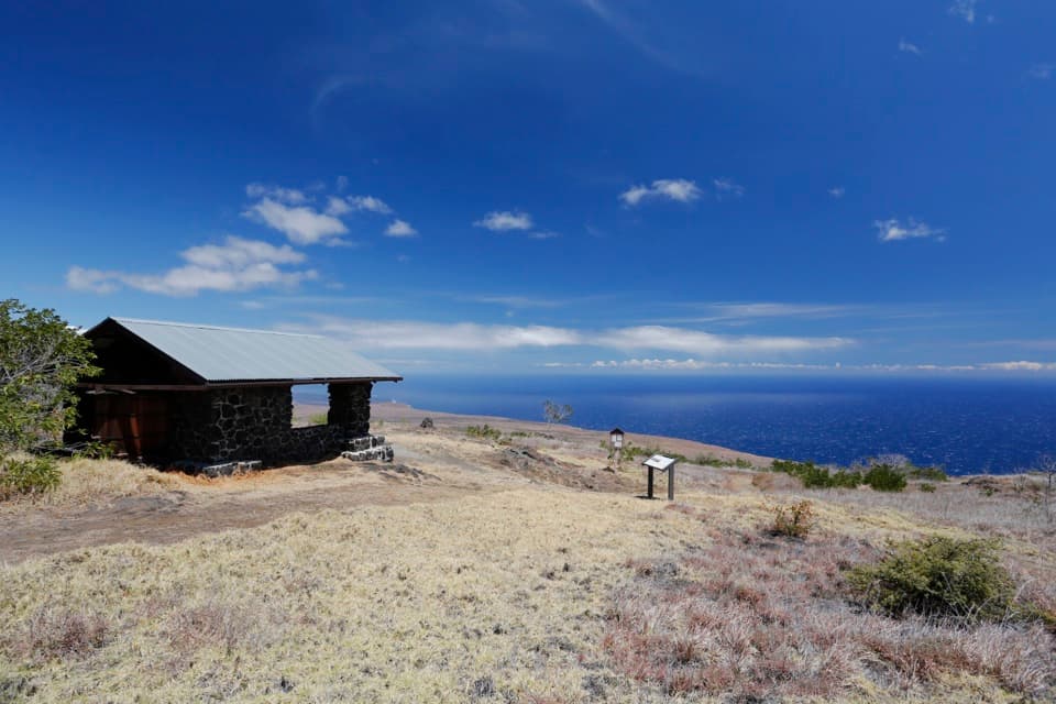 27Hilina Pali Overlook LoopA steep pali descent opens onto a hot, rocky coastal loop.
 28Kona TrailA full 7-mile outing through Kahuku pasture and 1887 lava.
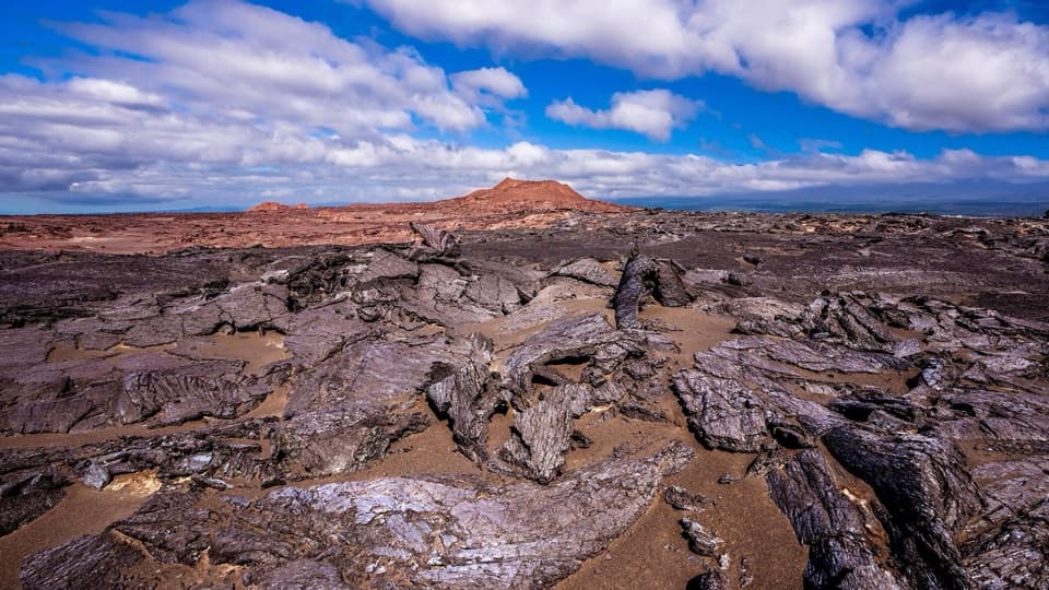 29Maunaiki TrailA rough lava route through the Kaʻū Desert to Hilina Pali Road.
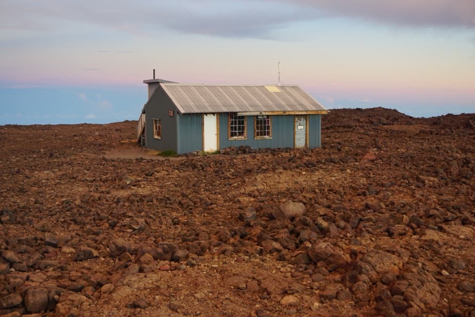 30ʻĀinapō TrailA demanding, high-altitude climb to Mauna Loa’s remote cabin.
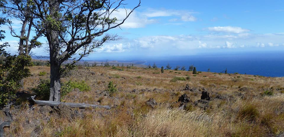 31Kaʻū Desert Trail to PepeiaoA cairn-marked crossing to a remote backcountry camp.
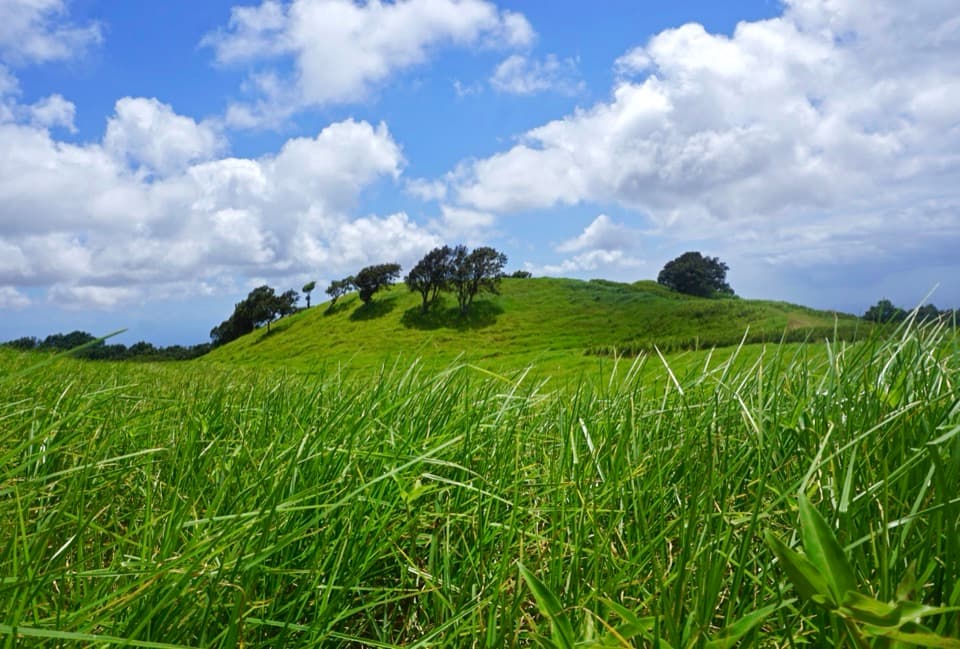 32Kamakapaʻa TrailA grassy half-mile loop to a small cone and wide Kaʻū views
 33Escape Road TrailA gentle forest descent from Nāhuku toward Mauna Ulu.

The highest, rockiest slopes around here are a summer buffet for grizzly bears.
Hawaiʻi Volcanoes Tour Guide
Hawaiʻi Volcanoes, narrated.
Parkwolf is a GPS audio tour guide for Hawaiʻi Volcanoes National Park. As you drive, it chimes in with what’s ahead: hidden gems, upcoming stops, history, geology, and wildlife, right through your car’s speakers.
See the Hawaiʻi Volcanoes audio tourRecorded for this place
Uēkahuna: The Caldera View0:00 / 0:33
“You're approaching Uēkahuna, the overlook at the end of Crater Rim Drive West. I'd keep this stop even when no lava is visible. The observation deck is only about two hundred feet from parking, along an accessible route.”
Plays as you drive up to Uēkahuna in the Parkwolf Hawaiʻi Volcanoes Tour Guide.
More stories near here in the app
- Kīlauea Overlook: A View or a Rim Walk
- Nāmakanipaio: A Cool Night Among the Trees
- Tree Molds: Where the Trunks Were
- Welcome Center and KMC: Advice and a Food Break
- 58 audio storiesacross Hawaiʻi Volcanoes’s roads, triggered by GPS as you drive
- Wildlife heatmapsfor Hawaiian Goose (Nēnē), Green Sea Turtle, Hawaiian Hawk ('Io), and 13 more
- Works offlinemaps, 33 trails, 53 places, and audio download before you lose signal
- CarPlay readysimple controls built for the drive
“Fantastic app with many points of information… It’s great to just turn on while you’re driving and it gives you an audio tour of the national Park. We love it!!!!”

