Parking
Use the Highway 93 North pullout on the east side, 16.5 km north of Saskatchewan Crossing. The turnoff is easy to miss.

Icefields Parkway (Highway 93), AB
A hard climb to a high pass above turquoise Pinto Lake.
Overview
Map & elevation
Plan your hike

The highest, rockiest slopes around here are a summer buffet for grizzly bears.
Icefields Parkway Tour Guide
Parkwolf is a GPS audio tour guide for Icefields Parkway (Highway 93). As you drive, it chimes in with what’s ahead: hidden gems, upcoming stops, history, geology, and wildlife, right through your car’s speakers.
See the Icefields Parkway audio tourRecorded for this trailhead
Sunset Lookout: The Half-Day Climb“Sunset Pass and Lookout trailhead is coming up, with a half-day climb to a former fire lookout above the Parkway.”
Plays as you drive up to this trailhead in the Parkwolf Icefields Parkway Tour Guide.
More stories near here in the app
“Fantastic app with many points of information… It’s great to just turn on while you’re driving and it gives you an audio tour of the national Park. We love it!!!!”


Trail guide
Sunset Pass Trail is a hard out-and-back from Highway 93 North through forest and a high meadow to a pass above Pinto Lake. It is 16.4 km (10.2 miles) return, with about 725 m (2,380 ft) of climbing; allow 6 to 7 hours. Those figures end at the pass, at the Banff boundary. The trailhead is summer-only.
The lower trail starts with exposed roots, then climbs in a long run of switchbacks. A trip account counted about 35; they ease the grade, but this is still a steady climb. You may hear Norman Creek Falls below the route, though reaching the falls takes a side path. About 4.2 km one way brings you to Norman Lake campground, where plank bridges cross the creek. A signed branch to Sunset Lookout is a separate hike, not part of the pass route.
Past camp, the trail skirts a broad meadow with Mount Coleman in view and stretches of shoulder-high willows. It re-enters the trees at the far end, then climbs to the pass and the signed park boundary. From the rocky high point, look toward turquoise Pinto Lake and the Cline River headwaters; the westward panorama reaches the Columbia Icefield. The lake shore is beyond the pass and makes a longer wilderness outing. For a photo, keep the rocky trail edge in the foreground with the lake below.
This is a full-day climb for hikers comfortable with a sustained ascent and a long return. If you want a shorter outing from the same access, Sunset Lookout is a separate route. Dogs may use Banff trails on leash; keep bear spray accessible on this route through bear habitat. Stop at Sunset Pass unless you have planned the longer backcountry route beyond the boundary.
Wildlife
 12 sightingsGrizzly BearMost seen around 6 AMSighting map
 127 sightingsBlack BearMost seen around 7 PMSighting map
 16 sightingsMooseMost seen around 6 AMSighting map
 100 sightingsElkMost seen around 8 PMSighting map
 34 sightingsMountain GoatMost seen around 7 PMSighting map
 53 sightingsBighorn SheepMost seen around 6 PMSighting map
Sighting maps show where each species has been reported across Icefields Parkway. Wildlife moves, so no sighting is guaranteed.
Keep exploring
 ChallengingSunset Lookout Trail9 km · 3.5 hr · At the trailheadA former fire lookout frames a braided valley and mountain skyline.
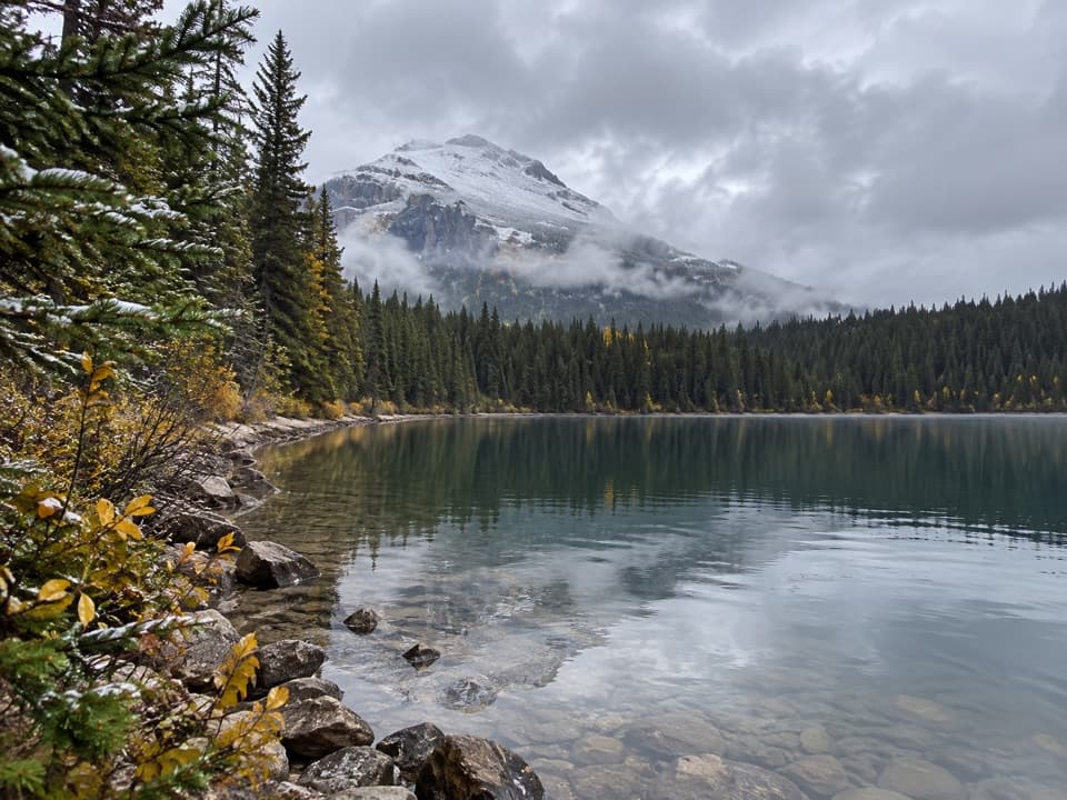 ChallengingGlacier Lake Trail17.6 km · 6.5 hr · 14.8 km awayA full-day forest hike to a lake beneath high peaks.
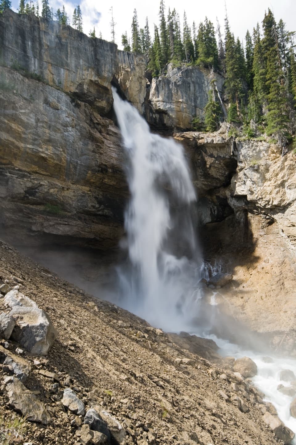 ModeratePanther Falls Trail0.8 km · 36 min · 16 km awayA steep little hike drops you close to Panther Falls.
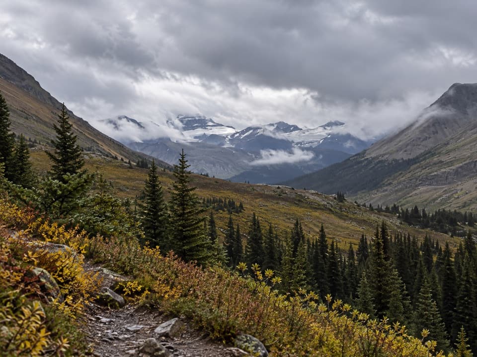 ModerateNigel Pass Trail16.8 km · 5 hr · 17 km awayA wide alpine pass rewards a steady walk up Nigel Creek.
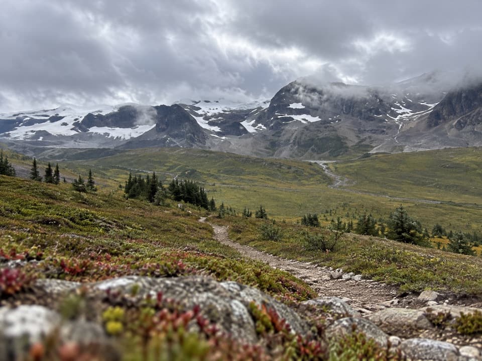 ChallengingThe Brazeau Loop81 km · 1.3 days · 17 km awayFive days over three passes to Brazeau Lake and Jonas Shoulder.
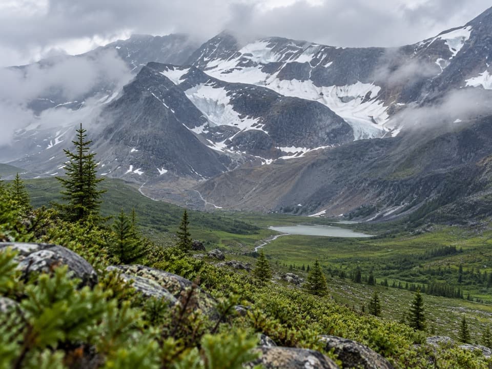 ChallengingJonas Pass-Poboktan Creek54.1 km · 3.5 days · 17 km awayA 54 km, multi-day crossing from Nigel Creek to Poboktan Creek.
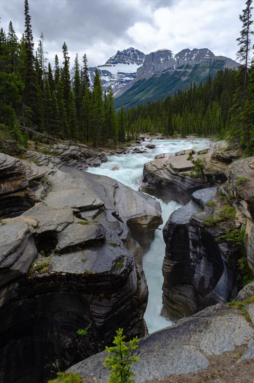 EasyMistaya Canyon Trail1 km · 30 min · 19.4 km awayA quick downhill walk to a canyon of twisting whitewater.
 ChallengingSarbach Lookout Trail10.6 km · 5.5 hr · 19.4 km awayA muddy start and a long climb to views of Howse Pass.
 Campground · 4.2 km awayRampart Creek CampgroundA quiet riverside overnight on a long drive with few services.
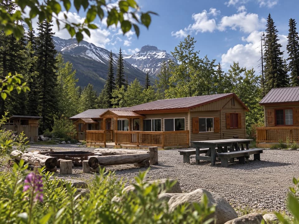 Lodging · 4.3 km awayHI Rampart Creek Wilderness HostelA shared, off-grid base with a mountain backdrop.
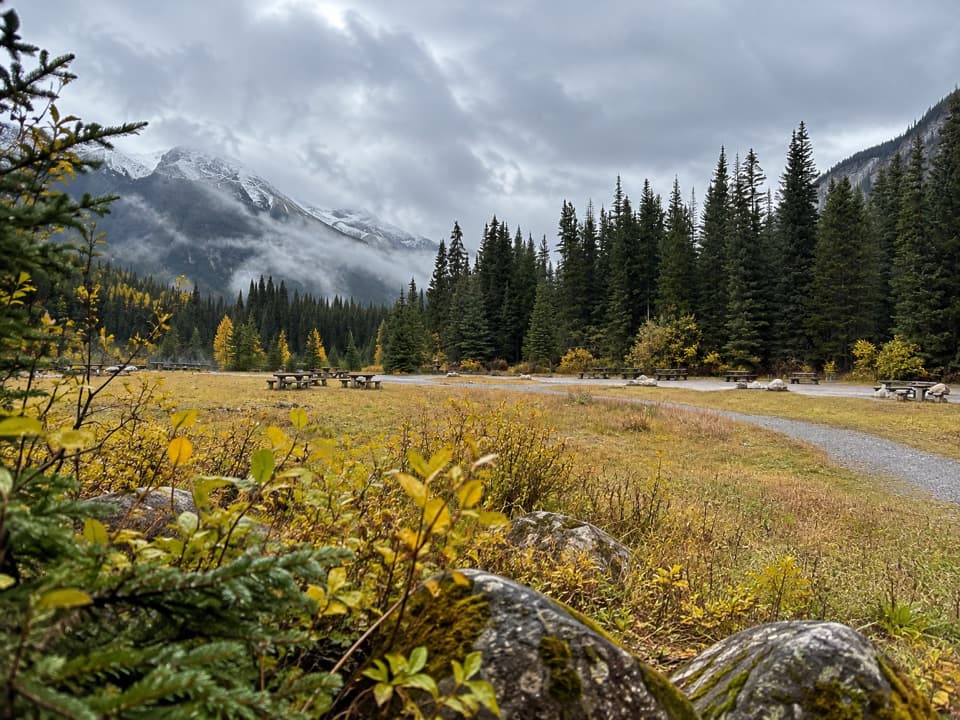 Picnic area · 6.2 km awayColeman Creek Day-use AreaA riverside picnic break where nearby cliffs may reveal goats.
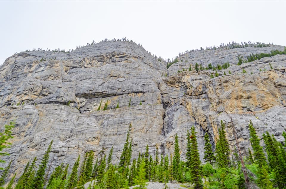 Scenic pullout · 11.7 km awayWeeping Wall ViewpointSpring cascades and winter ice transform this 300-m cliff.
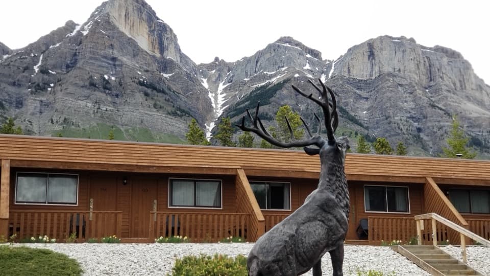 Lodging · 15.3 km awayThe Crossing ResortA remote motel and service stop on a long, sparsely served drive.
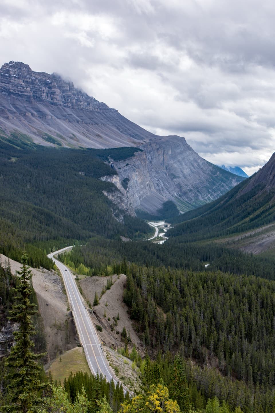 Scenic pullout · 15.6 km awayBig Bend ViewpointA quick roadside look at the Parkway’s Big Bend.
 Scenic pullout · 16 km awayHowse Pass ViewpointA short loop opens onto a broad, braided river valley.
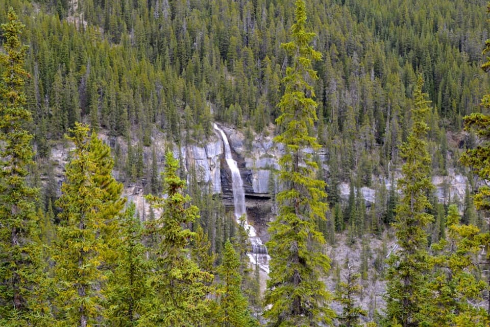 Scenic pullout · 16 km awayBridal Veil Falls ViewpointA quick roadside stop for a white cascade on Cirrus Mountain.
Parkwolf’s Icefields Parkway ranking

The audio tour guide for the drive, plus offline maps, trails, and wildlife heatmaps for when the signal drops.





