Parking
Use the signed Cazneaux Tree parking area off Flinders Ranges Way; a vehicle park pass is required.
#9 of 21 trails in Ikara-Flinders Ranges
Ikara-Flinders Ranges National Park, SA
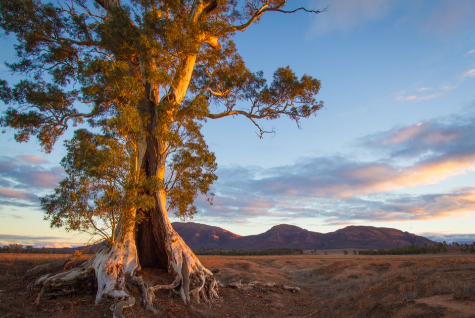
A famous red gum rewards a slower look at this country.
Overview
Map & elevation
Plan your hike

The highest, rockiest slopes around here are a summer buffet for grizzly bears.
Ikara-Flinders Ranges Tour Guide
Parkwolf is a GPS audio tour guide for Ikara-Flinders Ranges National Park. As you drive, it chimes in with what’s ahead: hidden gems, upcoming stops, history, geology, and wildlife, right through your car’s speakers.
Recorded for this area
Ngarri Mudlanha and Tanderra Saddle“You're approaching the access for Ngarri Mudlanha, also called St Mary Peak. The Adnyamathanha people ask visitors to leave its culturally important summit unclimbed, so make Tanderra Saddle your goal.”
Plays on the road 0.8 km from the trailhead in the Parkwolf Ikara-Flinders Ranges Tour Guide.
More stories near here in the app
“Fantastic app with many points of information… It’s great to just turn on while you’re driving and it gives you an audio tour of the national Park. We love it!!!!”


Trail guide
The Spirit of Endurance Trail is a signed out-and-back from the Cazneaux Tree parking area beside Flinders Ranges Way. The mapped path to the landmark is about 0.2 miles round trip. The park’s planning time is 1½ hours return, so leave that time for the full interpretive walk rather than judging it by the distance alone. The path reaches the famous river red gum and follows nearby Ikara Vari (Wilpena Creek). This is a gentle stop for people who want a little context with the landscape; if you came to cover miles or climb, choose one of the park’s longer hikes instead.
Harold Cazneaux camped in the Wilpena area with his wife Winifred and son in May 1937, photographing the tree and the surrounding country. The interpretive boards set his photographs beside the present landscape, making this more than a quick photo stop. The river red gum is about 25 metres tall and is listed on the National Trust of Australia’s Significant Tree Register. Take a moment to compare the tree’s shape with the older frames before moving on.
The walk also recognizes Adnyamathanha endurance and continuing connection to Country. Its creek is named Ikara Vari; water is deeply significant here, and river red gums have long provided shelter and food. That story belongs alongside the famous photograph. The attraction is the way the boards tie one tree and a nearby stretch of water to a much longer history of people living with this landscape.
Use the signed Cazneaux Tree parking area off Flinders Ranges Way, then follow the marked dirt track to the tree and return the same way. The route is short and has no technical climb; the agency classifies it as Grade 2 and says no bushwalking experience is needed. Read the boards as you go and allow the full 90 minutes if you want the interpretive experience, rather than only the tree photo. A vehicle park pass is required for entry. Dogs are not permitted anywhere in the national park. April through October is generally the mildest walking season; summer maximums can reach 30–45°C, and all walking trails close on Catastrophic Fire Danger days.
Wildlife
 68 sightingsWedge-tailed EagleMost seen around 10 AMSighting map
 104 sightingsShort-beaked EchidnaMost seen around 6 PMSighting map
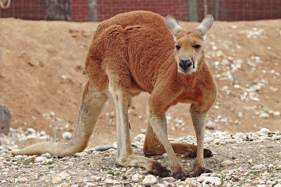 64 sightingsRed KangarooMost seen around 5 PMSighting map
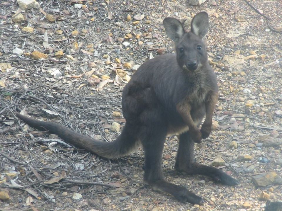 219 sightingsCommon WallarooMost seen around 6 PMSighting map
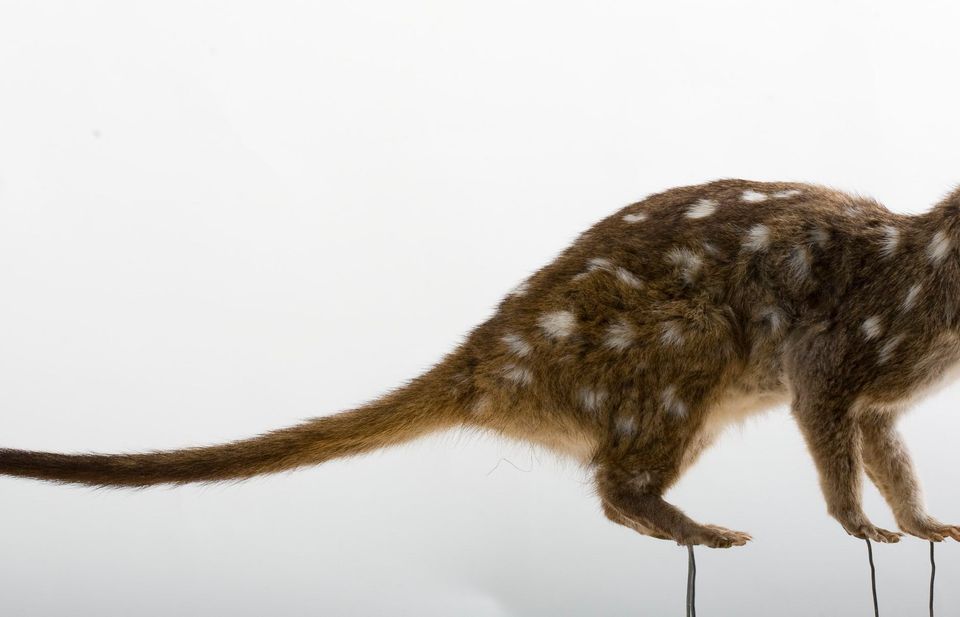 55 sightingsWestern QuollMost seen around 6 PMSighting map
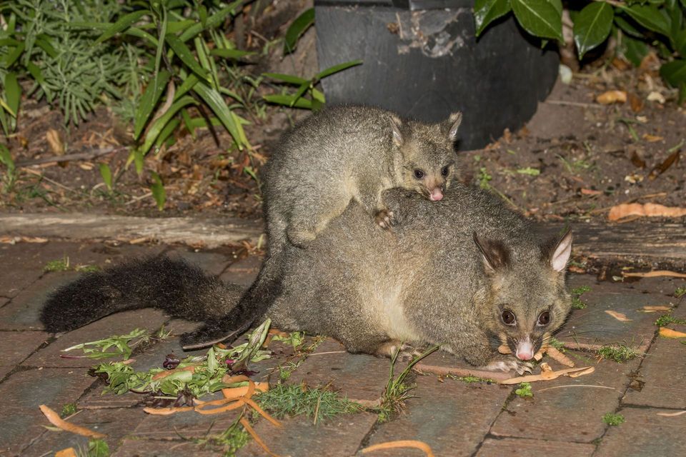 47 sightingsCommon Brushtail PossumMost seen around 6 PMSighting map
Sighting maps show where each species has been reported across Ikara-Flinders Ranges. Wildlife moves, so no sighting is guaranteed.
Keep exploring
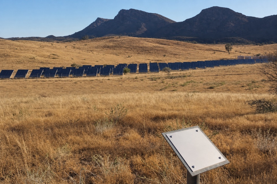 EasyWilpena Solar Power Station Walk1 km · 30 min · 2.3 km awayA quick lookout over the solar array that powers Wilpena.
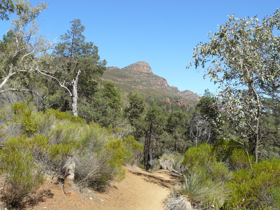 ChallengingSt Mary Peak Hike – Ngarri Mudlanha (Outside Trail to Tanderra Saddle)11.7 km · 5 hr · 3.3 km awayA demanding walk to Tanderra Saddle below St Mary Peak.
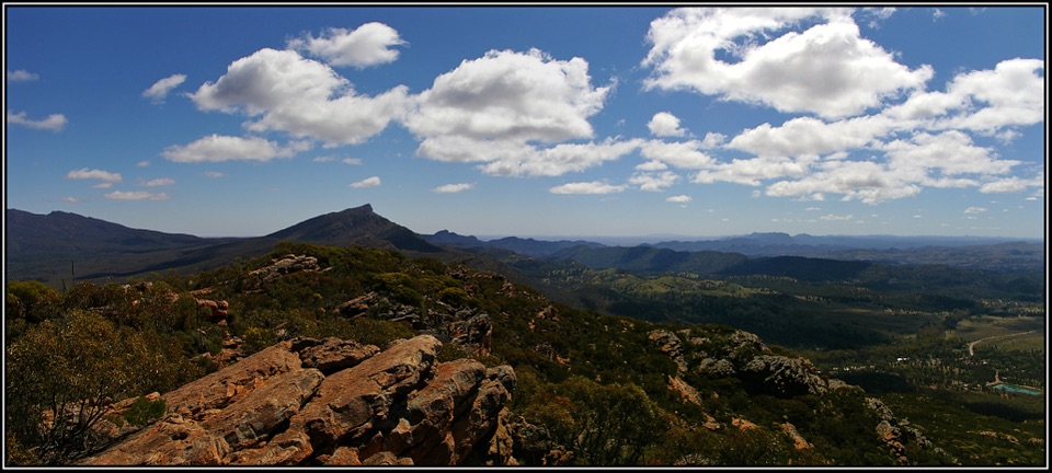 ChallengingMount Ohlssen Bagge Hike7.2 km · 4 hr · 3.3 km awayA steep ridge climb with wide views across Wilpena Pound.
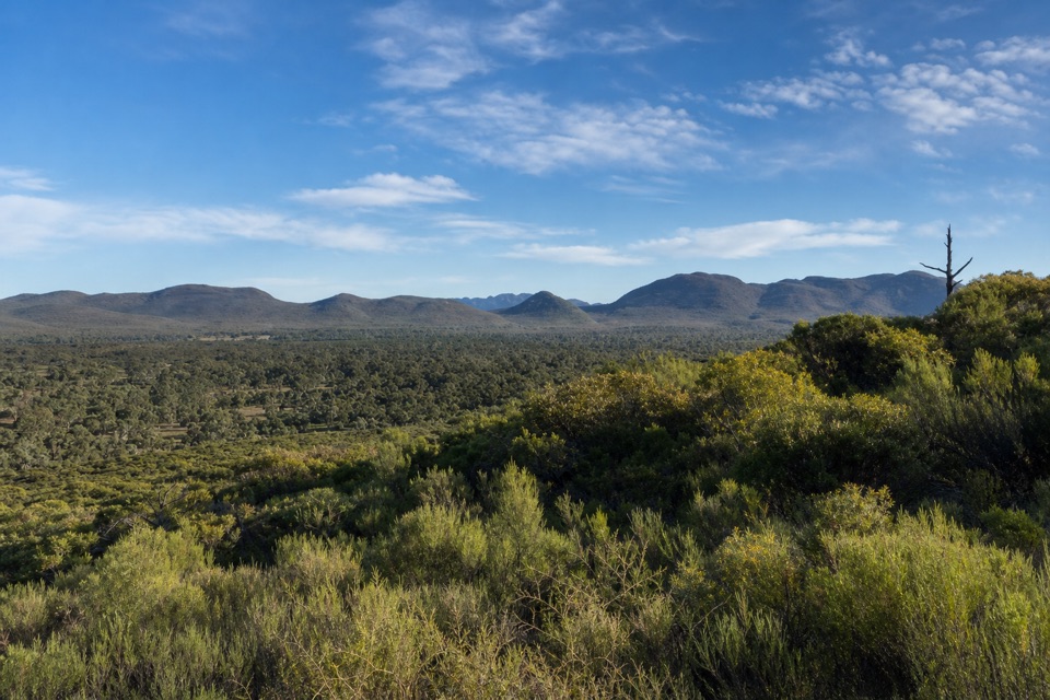 ModerateWangara Lookout Hike7.8 km · 3.5 hr · 3.3 km awayA shaded creek walk earns a steep climb to Wilpena Pound views.ChallengingSt Mary Peak Loop – Ngarri Mudlanha21.5 km · 9 hr · 3.3 km awayA full-day loop on both approaches to St Mary Peak.
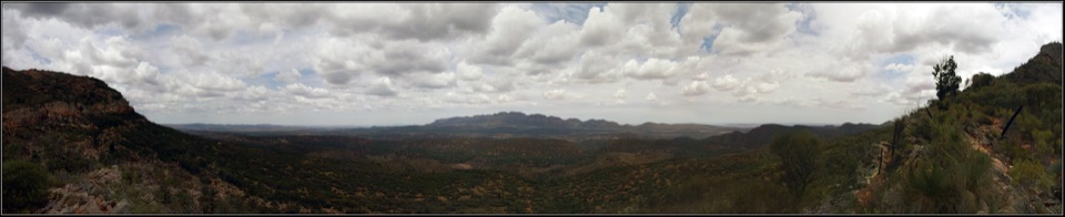 ModerateBridle Gap Hike18.8 km · 6 hr · 3.3 km awayCross Wilpena Pound to a gap with three ranges on the horizon.
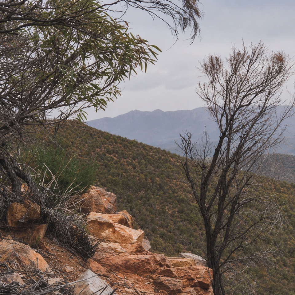 ChallengingMalloga Falls Hike23.2 km · 9 hr · 3.3 km awayA full day across the Pound to Edeowie's usually dry twin falls.
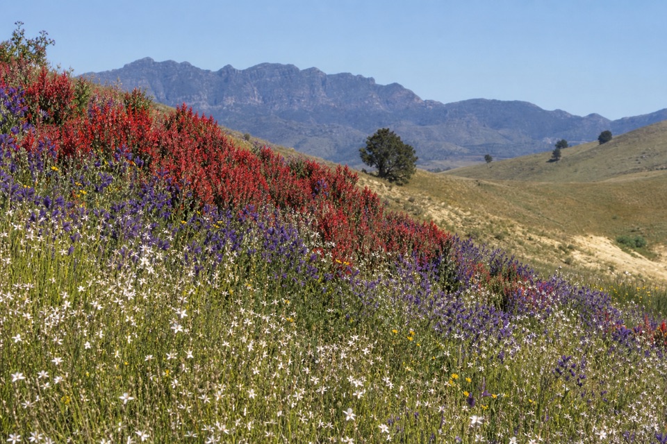 ModerateHeysen Trail Section 58: Wilpena to Bunyeroo19.2 km · 5.5 hr · 3.3 km awayCross a wooded valley, climb the ABC Range, and finish in Bunyeroo.Sight · 0.1 km awayCazneaux TreeA hollow red gum made famous in Cazneaux’s 1937 photographs.
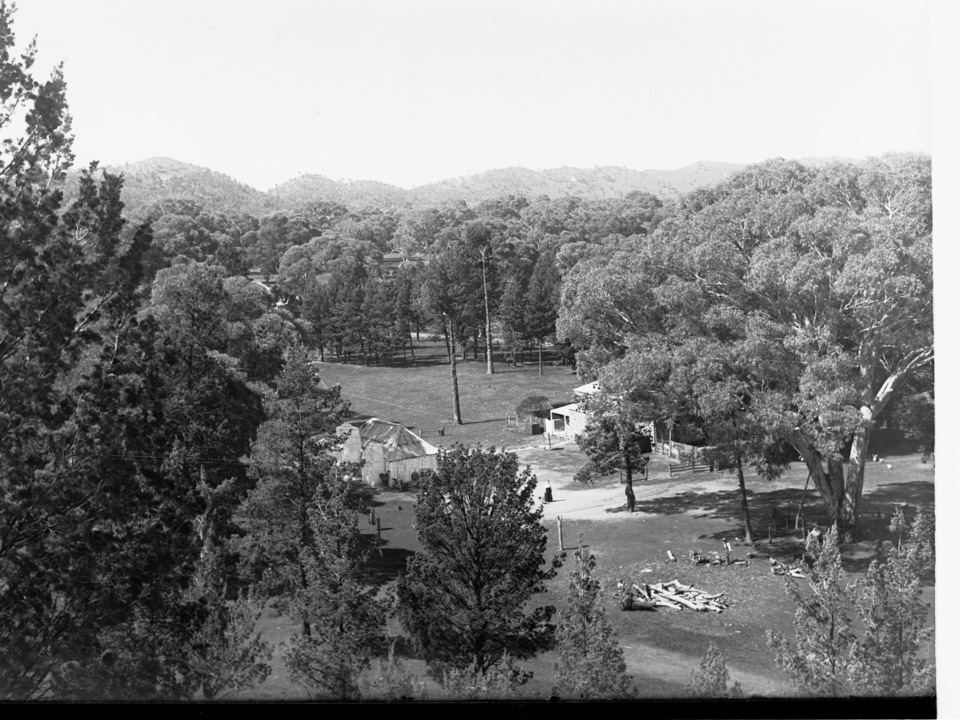 Sight · 2.6 km awayOld Wilpena Station Historic PrecinctA pastoral station's story, spread across an easy heritage walk.
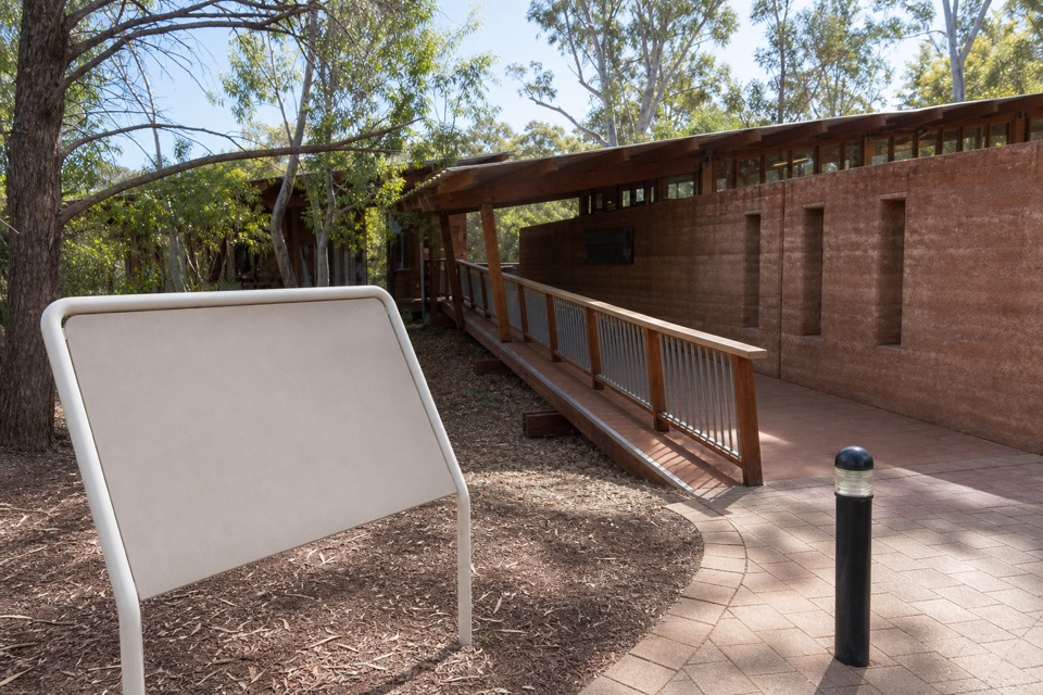 Visitor center · 3.3 km awayWilpena Pound Visitor Information CentreGet park advice and arrange resort bookings before the Pound walks.
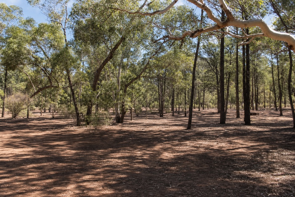 Campground · 3.4 km awayWilpena Pound CampgroundSleep under trees, then come back to showers and dinner.
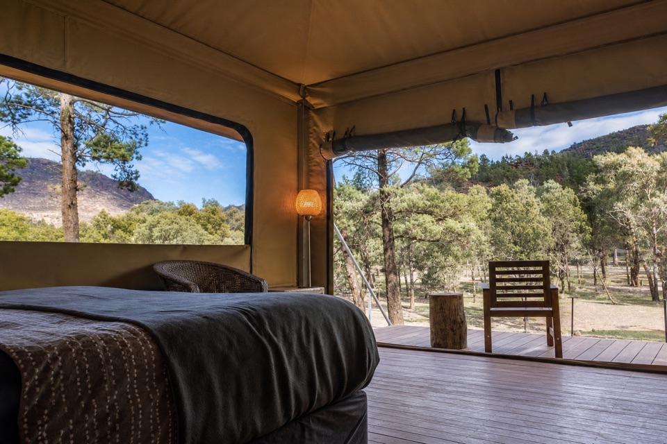 Lodging · 3.7 km awayWilpena Pound ResortStay inside the park, with a bed, meal and supplies here.Sight · 4.4 km awayMount Ohlssen BaggeA tough climb earns wide views across Wilpena Pound.
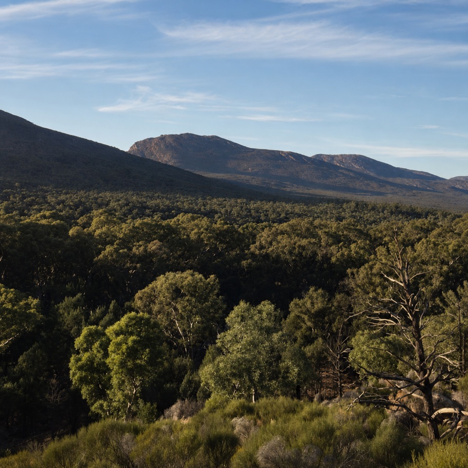 Sight · 5.6 km awayWangara LookoutKeep going for the broad view inside Wilpena Pound.
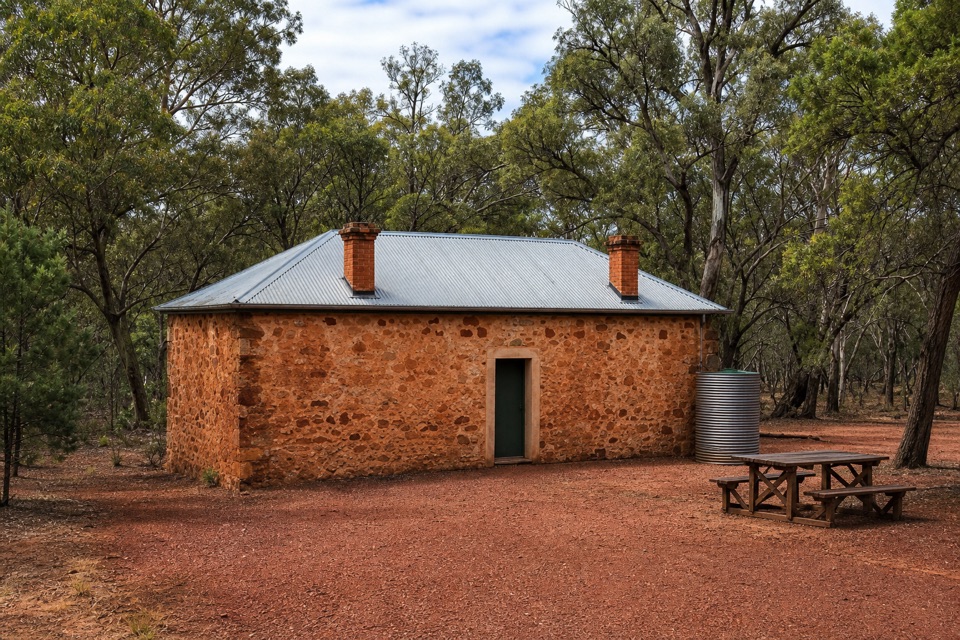 Sight · 5.7 km awayHills HomesteadA restored stone cottage tells the story of farming inside the Pound.
Parkwolf’s Ikara-Flinders Ranges ranking
St Mary Peak Hike – Ngarri Mudlanha (Outside Trail to Tanderra Saddle)Challenging · 11.7 kmWangara Lookout HikeModerate · 7.8 kmSt Mary Peak Loop – Ngarri MudlanhaChallenging · 21.5 kmMount Ohlssen Bagge HikeChallenging · 7.2 km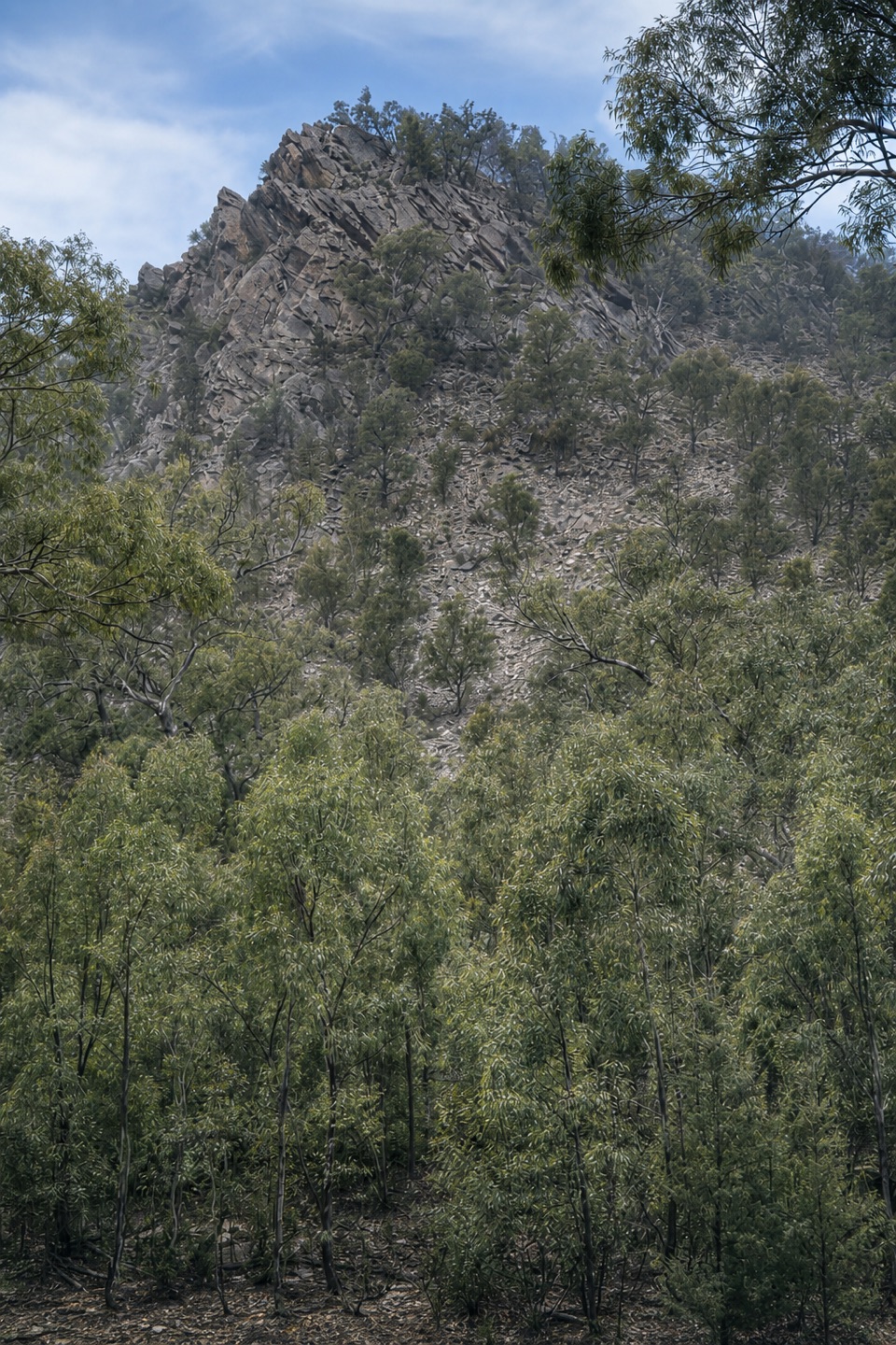 Bunyeroo Gorge HikeModerate · 7.5 km
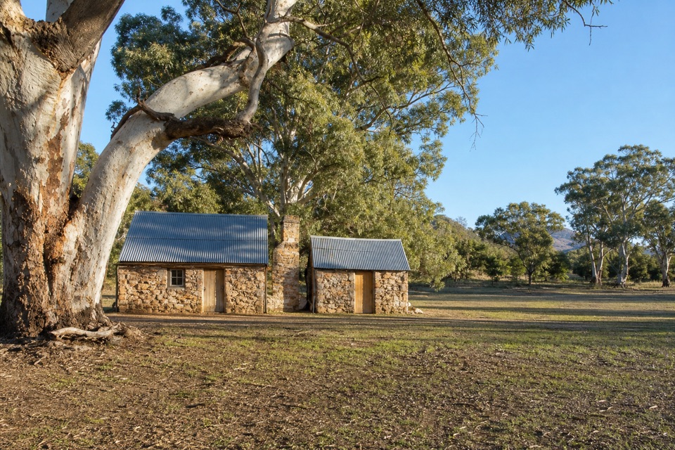 Hills Homestead WalkEasy · 6.6 km
The audio tour guide for the drive, plus offline maps, trails, and wildlife heatmaps for when the signal drops.