Prairie Duneland Bike Trail in Indiana Dunes National Park

Indiana Dunes National Park, IN

Prairie Duneland Bike Trail

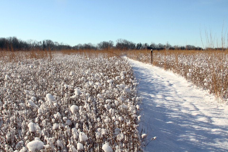
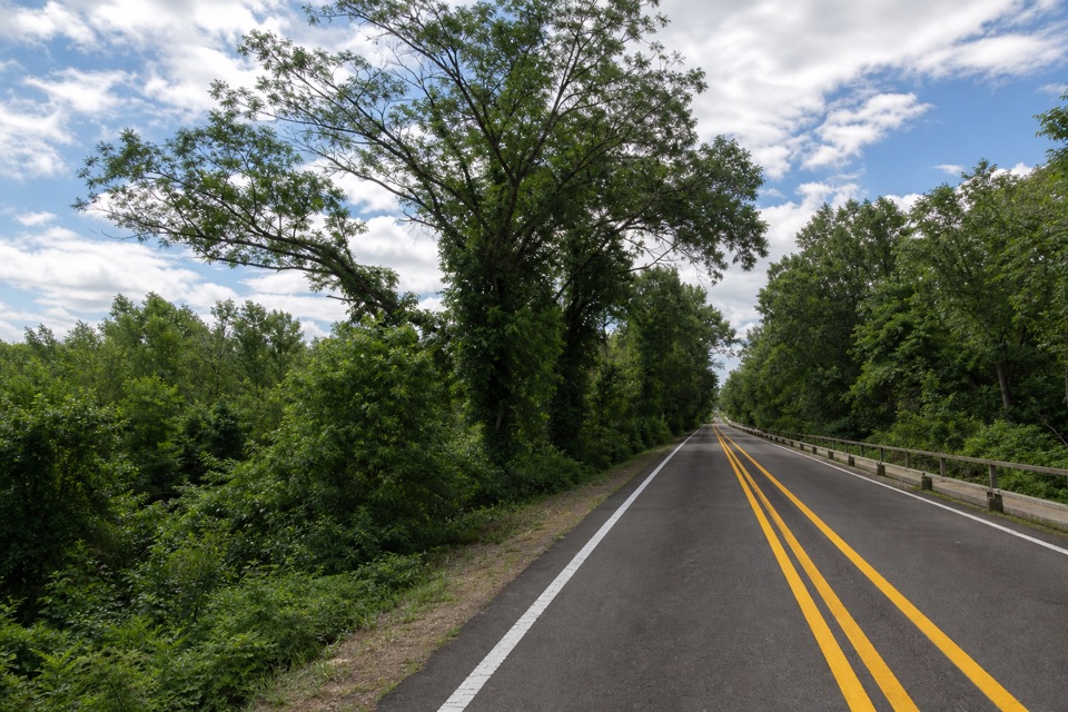
Flat, paved miles link quiet woods, small towns, and farm fields.

Photo: Wikimedia Commons
Length
11.2mi
Time
1hr
Elevation
Flat
Difficulty
Easy
  • Dogs allowed
  • High point 641 ft

Hear the audio tour

Before a Dragonfly Takes Flight

Overview

About Prairie Duneland Bike Trail

Why go

  • Smooth, flat pavement with almost no climbing.
  • Links into the Porter Brickyard and Oak Savannah trail networks.

Heads up

  • A point-to-point trip needs a shuttle or a return plan.
  • Road crossings and suburban stretches interrupt the quiet.

Map & elevation

The route

Loading the Indiana Dunes map
Full map
Elevation624–641 ft
TrailheadEast Trailhead, 198 South Jackson Boulevard41.61034, -87.07387
Keep this map with you offline in the Parkwolf app

Plan your hike

Before you go

Parking

Paved lots are available at both listed ends: East Trailhead, 198 South Jackson Boulevard, Chesterton; West Trailhead, 4 North Hobart Road, Hobart. Six additional lots along the route support shorter outings. For the full one-way trip, park at opposite ends or arrange a ride.

Safety

Several road crossings require attention; watch for traffic at each intersection. Ticks are present year-round. Neither endpoint has restrooms or potable water.

4 active Indiana Dunes alerts

  • ClosureTrail closures and flooding-related access limitsSeveral Indiana Dunes trails are closed or partially inaccessible because of tree damage, riverbank collapse, flooding, and Marquette Greenway construction; stay out of closed sections and use…Official details
  • ClosureBailly/Chellberg Trail stair sections closedPortions of the Bailly/Chellberg Trail with stairs are closed through October 30, 2026, to allow completion of a boardwalk replacement project. Check current park conditions before setting out.Official details
See all 4 alerts
A park ranger sits on a dash-mounted phone, talking, as Parkwolf’s Tour Guide plays “Army Cutworm Moths: A Grizzly Bear Buffet” on Grand Loop Road below Dunraven Pass in Yellowstone
Parkwolf Tour GuideThe highest, rockiest slopes around here are a summer buffet for grizzly bears.

Indiana Dunes Tour Guide

Your drive to Prairie Duneland Bike Trail, narrated.

Parkwolf is a GPS audio tour guide for Indiana Dunes National Park. As you drive, it chimes in with what’s ahead: hidden gems, upcoming stops, history, geology, and wildlife, right through your car’s speakers.

Recorded for this area

Before a Dragonfly Takes Flight
0:00 / 0:36
“A dragonfly flying over a pond has already spent months, sometimes years, living underwater. Before it has working wings, it's a nymph, hunting among the plants and mud.”

Plays on the road 1.2 mi from the trailhead in the Parkwolf Indiana Dunes Tour Guide.

More stories near here in the app

  • Bailly–Chellberg: Houses with a History
  • The Beaver Leaves Clues
  • A Campaign from a Living Room
  • Indiana Dunes Visitor Center
  • 51 audio storiesacross Indiana Dunes’s roads, triggered by GPS as you drive
  • Wildlife heatmapsfor Bald Eagle, Sandhill Crane, White-tailed Deer, and 13 more
  • Works offlinemaps, 34 trails, 30 places, and audio download before you lose signal
  • CarPlay readysimple controls built for the drive
★★★★★
“Fantastic app with many points of information… It’s great to just turn on while you’re driving and it gives you an audio tour of the national Park. We love it!!!!”
JMJamesApp Store review
Download Parkwolf on the App StoreGet Parkwolf on Google Play

4.7 from 8,600+ ratings

Trail guide

Hiking Prairie Duneland Bike Trail

A useful long-distance pathPrairie Duneland Bike Trail is a paved, point-to-point shared-use route between Chesterton and…

Prairie Duneland Bike Trail is a paved, point-to-point shared-use route between Chesterton and Hobart, crossing Portage. One-way mileage varies: the official end-to-end figure is 11.2 miles (22.4 miles out and back), the connected mapped line between those access points is 10.15 miles, and some other published figures say 10.3. Plan for 11.2. It is almost level and wheelchair accessible, so it works as an easy ride or a very long walk. A bike takes about an hour one way; on foot, allow several hours and arrange a ride at the other end rather than doubling back. Six additional lots along the corridor let you choose a shorter section.


What the corridor feels likeThis is a former rail corridor, not a backcountry hike: the surface is wide, smooth asphalt,…

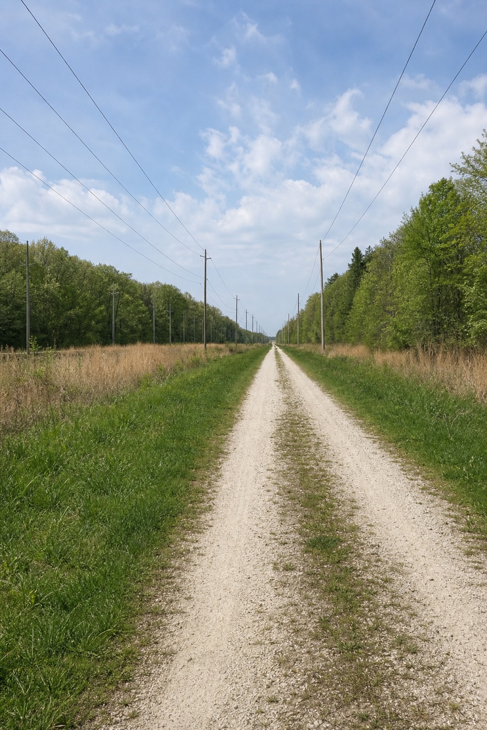
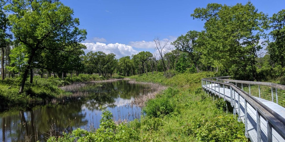
This is a former rail corridor, not a backcountry hike: the surface is wide, smooth asphalt, with woods and open fields between residential and suburban stretches. Wooden bridges cross drainage ditches; the route passes yards and farmland as well as Portage neighborhoods, so the scenery changes without getting far from roads.

Crossings and connectionsPay attention at road crossings even though the grade is easy.

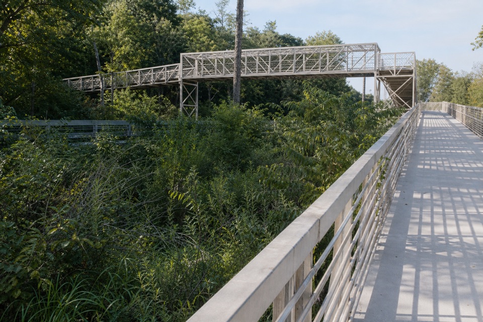
Pay attention at road crossings even though the grade is easy. The trail bridges State Road 149 and Salt Creek, passes beneath I-90, and goes through a tunnel under Willowcreek Road. The Chesterton end connects to Porter Brickyard Trail. At the Hobart end, the mapped line reaches the listed west lot via the connected Oak Savannah Trail, so that access stretch is part of the route shown here.

Make the one-way logistics workPaved lots serve the East Trailhead, 198 South Jackson Boulevard in Chesterton, and the West…

Paved lots serve the East Trailhead, 198 South Jackson Boulevard in Chesterton, and the West Trailhead, 4 North Hobart Road in Hobart; six additional lots serve shorter outings. Bicycles are allowed, and dogs must stay on a leash six feet or shorter. Neither endpoint has restrooms or drinking water, so carry what you need for the full crossing.

Wildlife

Wildlife in Indiana Dunes

All Indiana Dunes wildlife maps

Sighting maps show where each species has been reported across Indiana Dunes. Wildlife moves, so no sighting is guaranteed.

Keep exploring

Near Prairie Duneland Bike Trail

See it all on the map

Trails that start nearby

Places near the trailhead

Parkwolf’s Indiana Dunes ranking

Top-rated trails in Indiana Dunes

All 34 trails
  1. 1Cowles Bog TrailModerate · 4.7 mi
  2. 2Dune Succession TrailModerate · 0.9 mi
  3. 3Paul H. Douglas Trail (Miller Woods)Moderate · 3.4 mi
  4. 4West Beach 3-Loop TrailModerate · 3.4 mi
  5. 5Mount Baldy Beach TrailModerate · 0.8 mi
  6. 6Dune Ridge TrailModerate · 0.7 mi

Take Parkwolf to Indiana Dunes.

The audio tour guide for the drive, plus offline maps, trails, and wildlife heatmaps for when the signal drops.

4.7 from 8,600+ ratings

Download Parkwolf on the App StoreGet Parkwolf on Google Play