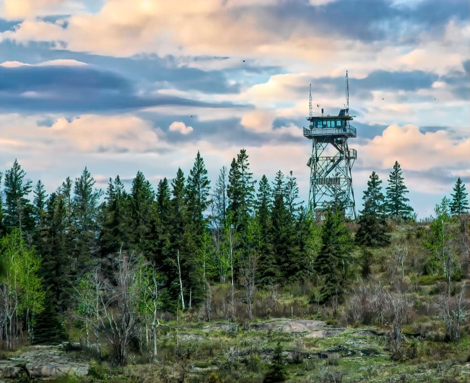
Huginnin Cove Campground in Isle Royale National Park

Campground · Isle Royale National Park

Huginnin Cove Campground

Five tent sites on Lake Superior, reached by foot or paddle.

Photo: National Park Service
Type
Campground
Nearest trail
1.6 mi
Audio stories
9 nearby
  • Restrooms

Hear the audio tour

The Squirrel's Winter Pantry

Overview

About Huginnin Cove Campground

Why stop

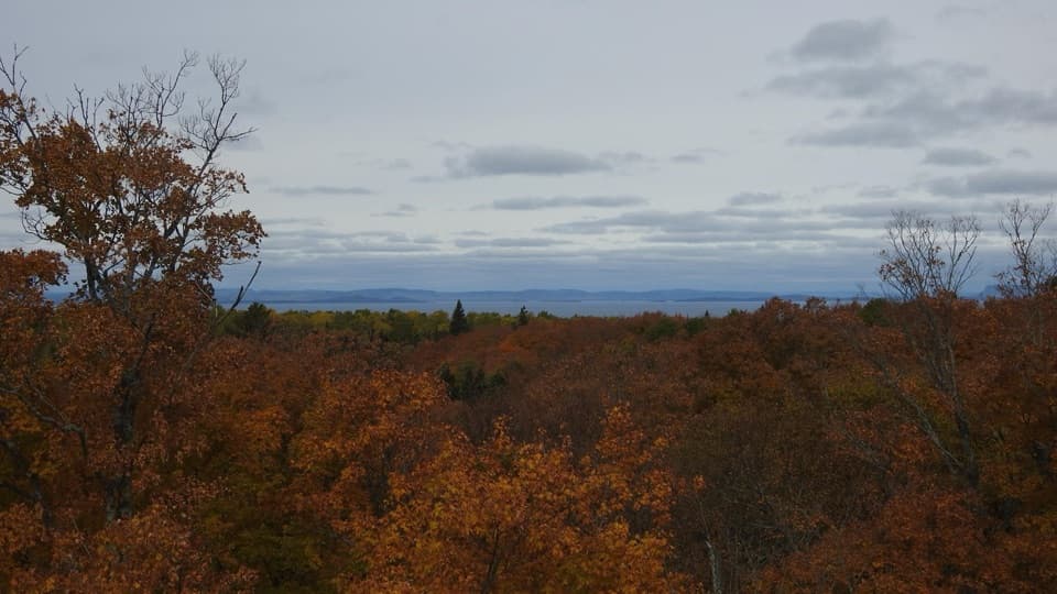
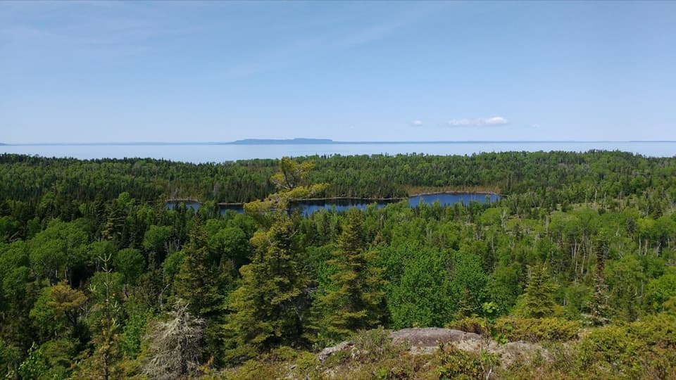
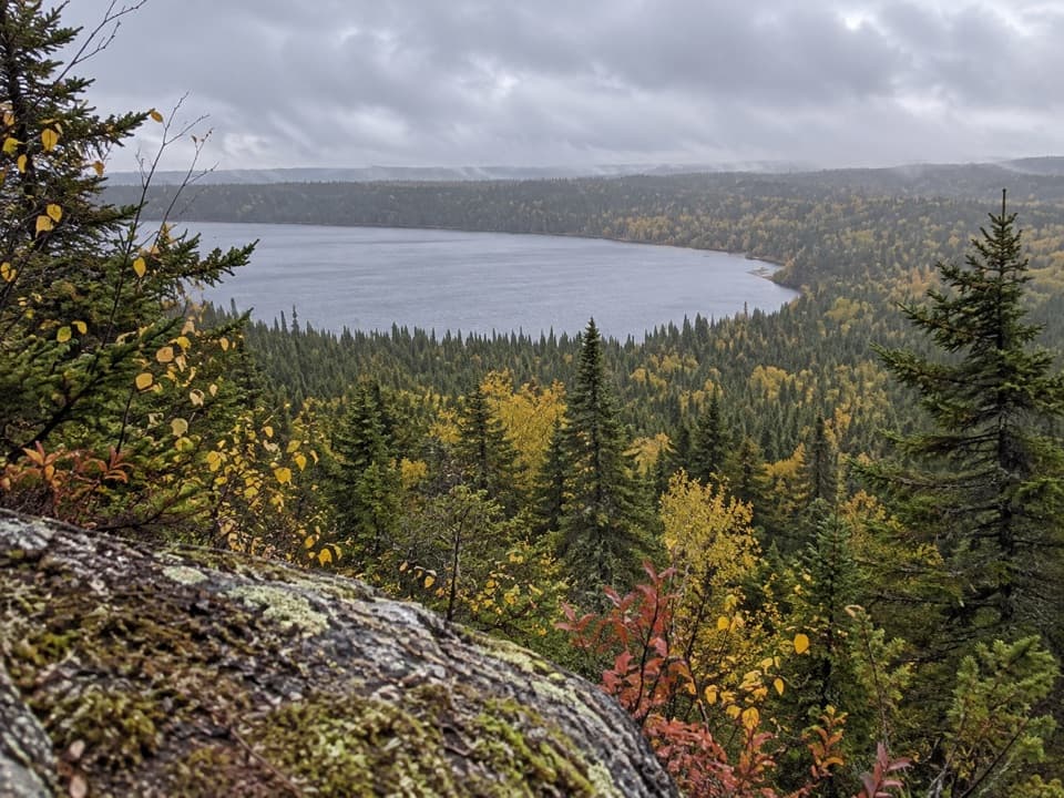
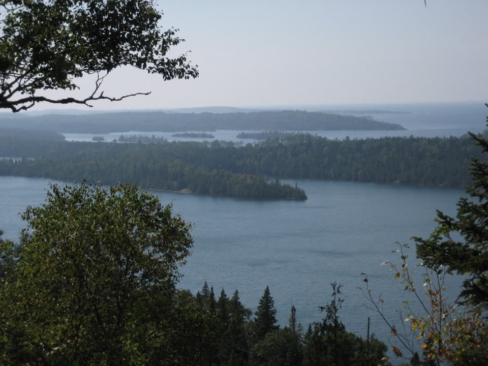
  • Clear-weather views stretch across Lake Superior toward Canada.

Heads up

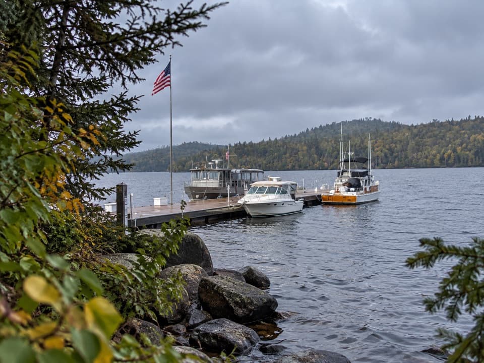
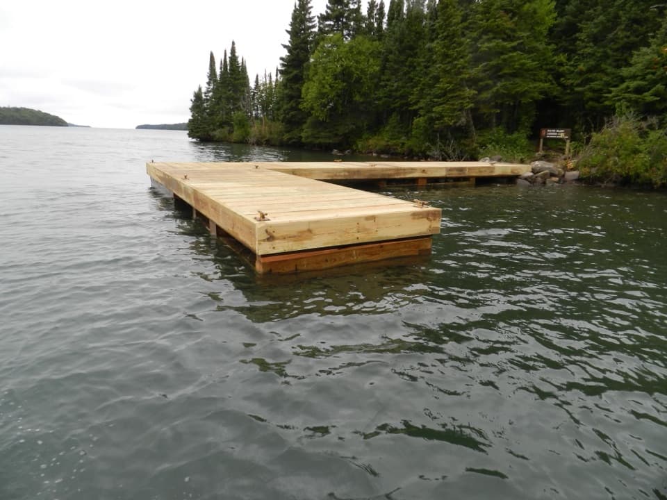
  • Rough approaches, no dock and no potable water.

Map

Where it is

Loading the Isle Royale map
Full map
CampgroundHuginnin Cove Campground47.93427, -89.17648
Keep this map with you offline in the Parkwolf app

Plan your stop

Before you go

8 active Isle Royale alerts

  • ClosureSeasonal park closure begins November 1Isle Royale closes to public use November 1–April 15 because extreme winter weather threatens visitor safety; the closure extends 4.5 miles into Lake Superior from the island.Official details
  • ClosureCamping closures at east-end campgrounds and Zone 9Camping restrictions are in effect at four east-end campgrounds and Off-trail Camping Zones 9–13 and 30–38 because of increased human-wildlife interactions and food-storage concerns.Official details
See all 8 alerts
A park ranger sits on a dash-mounted phone, talking, as Parkwolf’s Tour Guide plays “Army Cutworm Moths: A Grizzly Bear Buffet” on Grand Loop Road below Dunraven Pass in Yellowstone
Parkwolf Tour GuideThe highest, rockiest slopes around here are a summer buffet for grizzly bears.

Isle Royale Tour Guide

Your drive to Huginnin Cove Campground, narrated.

Parkwolf is a GPS audio tour guide for Isle Royale National Park. As you drive, it chimes in with what’s ahead: hidden gems, upcoming stops, history, geology, and wildlife, right through your car’s speakers.

Recorded for this area

The Squirrel's Winter Pantry
0:00 / 0:26
“A pile of chewed cones beneath a tree can mark a red squirrel's feeding spot. These are the only squirrels on Isle Royale, and seeds from spruce, fir and other conifers make up much of their food.”

Plays on the road 1.6 mi from Huginnin Cove Campground in the Parkwolf Isle Royale Tour Guide.

More stories near here in the app

  • Minong Ridge Overlook from Windigo
  • A Lodge with an Underwater Door
  • The Forest After the 1936 Fire
  • When Only Two Wolves Remained
  • 17 audio storiesacross Isle Royale’s roads, triggered by GPS as you drive
  • Wildlife heatmapsfor Moose, Wolf, Bald Eagle, and 13 more
  • Works offlinemaps, 39 trails, 83 places, and audio download before you lose signal
  • CarPlay readysimple controls built for the drive
★★★★★
“Fantastic app with many points of information… It’s great to just turn on while you’re driving and it gives you an audio tour of the national Park. We love it!!!!”
JMJamesApp Store review
Download Parkwolf on the App StoreGet Parkwolf on Google Play

4.7 from 8,600+ ratings

Guide

More about Huginnin Cove Campground

Five tent sites on a north-shore coveHuginnin Cove Campground is a five-site backcountry tent campground on Isle Royale's north…

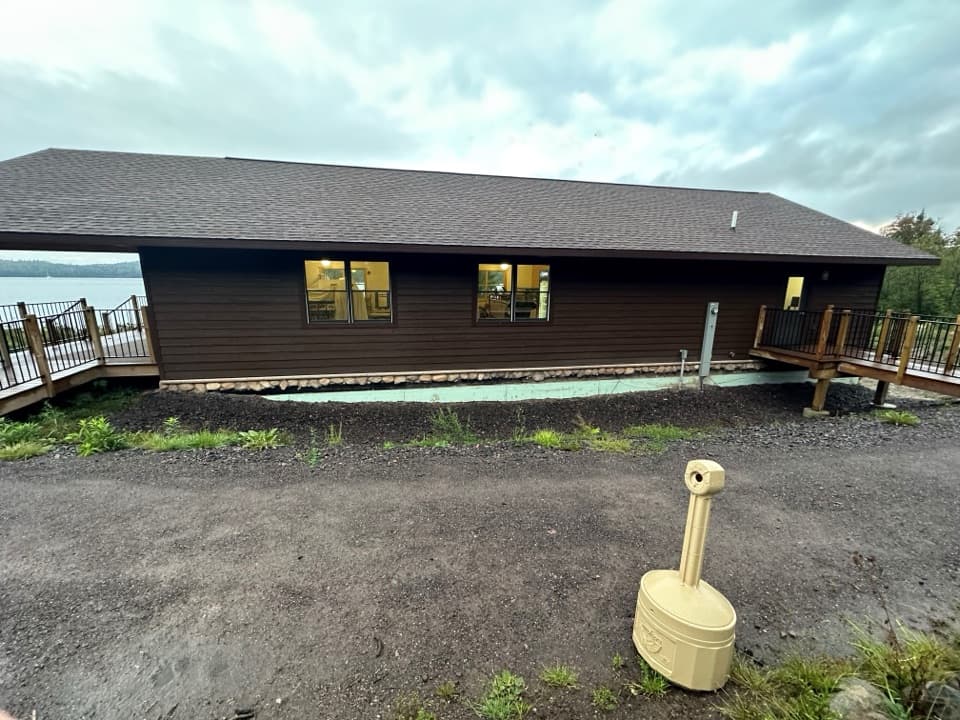
Huginnin Cove Campground is a five-site backcountry tent campground on Isle Royale's north shore, set at Huginnin Cove on Lake Superior. The draw is a remote lakeside overnight with a view toward Canada on clear days. It's a good fit if you want a camp reached by trail or canoe/kayak and are ready to carry your gear; there's no road access.

Choose your routeFrom Windigo, the West Huginnin route is about 3.1 miles to camp; the East route is about 3.3.

From Windigo, the West Huginnin route is about 3.1 miles to camp; the East route is about 3.3. The West approach follows Washington Harbor before turning north over Minong Ridge. The East follows the start of Minong Ridge Trail and passes remnants of the Wendigo Mine exploration site before reaching the north shore. Expect rocky, rooty footing; boardwalks can be slippery when wet, and the rocky East shore has especially uncertain footing. Trail conditions change, so bring a map and compass and be comfortable navigating.

Plan for a simple backcountry campThe five individual sites are first come, first served; small parties of six or fewer need a…

The five individual sites are first come, first served; small parties of six or fewer need a free overnight permit, and no reservation is available. The limit is three consecutive nights from June 1 through Labor Day. NPS lists an annual season of April 16 through October 31, so check current dates before a shoulder-season trip. There are seasonal composting toilets and one food-storage locker. The listed water is non-potable, so treat it before drinking; there is no boat dock or store at camp.

A copper-mining remnant on the East routeThe East approach passes the Wendigo Mine exploration remains.

The East approach passes the Wendigo Mine exploration remains. The mine dates to 1889–1892, the island's last copper endeavor. At camp, the shore opens onto Lake Superior; on a clear day, the view reaches toward Canada.

Wildlife

Wildlife in Isle Royale

All Isle Royale wildlife maps

Sighting maps show where each species has been reported across Isle Royale. Wildlife moves, so no sighting is guaranteed.

Keep exploring

Near Huginnin Cove Campground

See it all on the map

Trails nearby

More stops nearby

Parkwolf’s Isle Royale ranking

Top sights in Isle Royale

All 83 places
  1. 1Rock Harbor LighthouseSight
  2. 2Scoville PointSight
  3. 3Lookout LouiseSight
  4. 4Edisen FisherySight
  5. 5Mount FranklinSight
  6. 6Ojibway TowerSight

Take Parkwolf to Isle Royale.

The audio tour guide for the drive, plus offline maps, trails, and wildlife heatmaps for when the signal drops.

4.7 from 8,600+ ratings

Download Parkwolf on the App StoreGet Parkwolf on Google Play