Parking
Start at Windigo Dock; the Feldtmann Lake trailhead is just southwest of the dock and pavilion.

Isle Royale National Park, MI
An 8.5-mile traverse from Windigo to Feldtmann Lake.
Overview
Map & elevation
Plan your hike

The highest, rockiest slopes around here are a summer buffet for grizzly bears.
Isle Royale Tour Guide
Parkwolf is a GPS audio tour guide for Isle Royale National Park. As you drive, it chimes in with what’s ahead: hidden gems, upcoming stops, history, geology, and wildlife, right through your car’s speakers.
Recorded for this area
Minong Ridge Overlook from Windigo“Coming up is the Windigo trail access for Minong Ridge Overlook. For a rugged half-day hike, it's six miles out and back, taking roughly four hours over rocks, roots and creek crossings.”
Plays on the road 0.9 mi from the trailhead in the Parkwolf Isle Royale Tour Guide.
More stories near here in the app
“Fantastic app with many points of information… It’s great to just turn on while you’re driving and it gives you an audio tour of the national Park. We love it!!!!”


Trail guide
Feldtmann Lake Trail is an 8.5-mile, one-way point-to-point hike from Windigo to the primitive Feldtmann Lake Campground. It follows Washington Harbor, climbs to a ridge overlook, then descends through woods to the lake. This is the first leg of the longer Feldtmann Loop, not an 8.5-mile loop. The park describes the one-way leg as a day hike; walking back to Windigo adds another 8.5 miles.
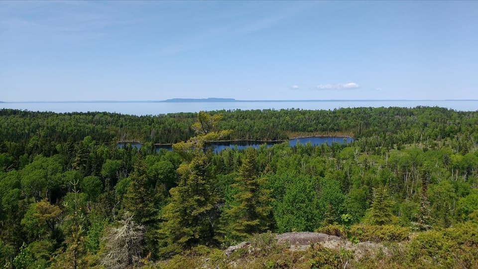
The trailhead sits just southwest of Windigo Dock and the pavilion. The narrow track starts tight to Washington Harbor, with views toward Beaver Island and across the water. After about a mile it leaves the shore and climbs inland to a ridge. Grace Creek Overlook is the main viewpoint, looking over Grace Creek and Grace Harbor toward Lake Superior. It also makes a natural turnaround for a shorter walk from Windigo.
Past the overlook, the trail descends gently toward Grace Creek. Small rocks beside the path are remnants of an older Lake Superior shoreline. From there, the route winds down through woods to Feldtmann Lake. Vegetation can grow thick along this last descent; long sleeves and pants help, and rain gear may be useful when the brush is wet.
The route ends at the campground on Feldtmann Lake’s west shore. It’s a primitive backcountry stop with seasonal water. Overnight camping requires a free permit, and park entrance fees apply. Windigo’s visitor center, store, and comfort station are back at the start, not along the trail. Pets aren’t allowed in the park.
Rainbow Cove is a separate 0.8-mile walk from the campground, beyond the route endpoint. Its rocky Lake Superior shore is a good place to watch the sunset, and Rock of Ages Lighthouse may be visible on a clear day.
Wildlife
 308 sightingsMooseMost seen around 8 PMSighting map
 93 sightingsWolfMost seen around 8 PMSighting map
 77 sightingsBald EagleMost seen around 5 PMSighting map
 150 sightingsLoonMost seen around 7 AMSighting map
 24 sightingsTrumpeter SwanMost seen around 6 PMSighting map
 71 sightingsBeaverMost seen around 8 PMSighting map
Sighting maps show where each species has been reported across Isle Royale. Wildlife moves, so no sighting is guaranteed.
Keep exploring
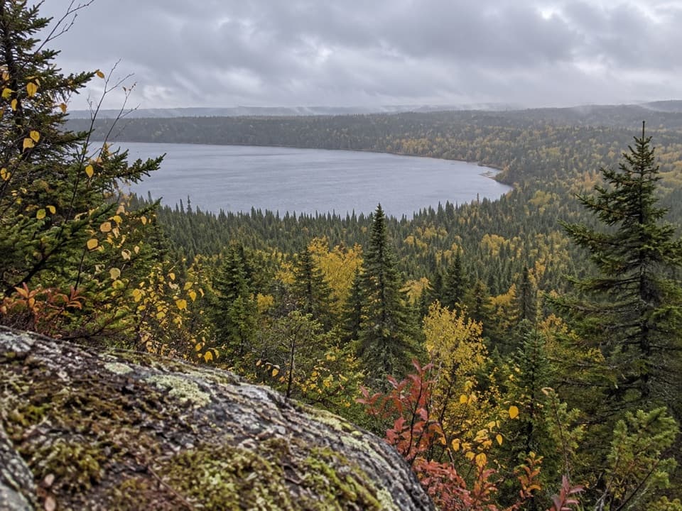 ChallengingFeldtmann Loop30.1 mi · 1.3 days · At the trailheadFour to five days of ridge, shore, and old mine history.
 ModerateGrace Creek Overlook Trail3.6 mi · 3 hr · At the trailheadA rocky ridge above Grace Harbor, reached by a wooded shoreline hike.
 EasyWindigo Nature Trail1.2 mi · 1.5 hr · At the trailheadFerns, cedar lowlands, and maple-birch woods on a short loop.
 ChallengingHuginnin Cove Loop9.4 mi · 6 hr · 0.1 mi awayRugged Windigo loop to a Lake Superior cove and old mine remains.
 EasyWashington Creek Trail2.8 mi · 1.5 hr · 0.2 mi awayHarbor views lead to a wooded creek and its narrow bridge.
 ChallengingGreenstone Ridge Trail40 mi · 1.7 days · 0.6 mi awayA remote, one-way ridge crossing through Isle Royale's forested interior.
 ModerateWest Huginnin Cove Trail6.2 mi · 4 hr · 0.8 mi awayA ridge walk to a rocky cove on Lake Superior.
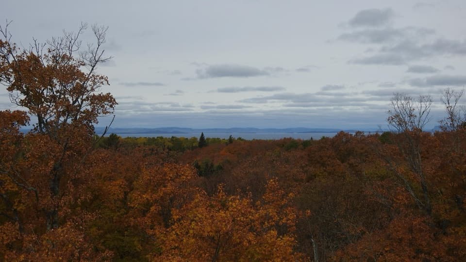 ChallengingMinong Ridge Overlook Trail6 mi · 4 hr · 0.9 mi awayA rocky ridge opens onto Pie Island and the Canadian shore.
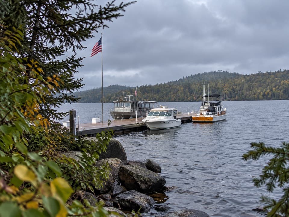 Sight · 0.1 mi awayWindigo MarinaA practical west-end landing for boaters and ferry arrivals.
 Visitor center · 0.1 mi awayWindigo Visitor CenterA Rock of Ages lighthouse lens is on display inside.
 Lodging · 0.1 mi awayWindigo Camper CabinsTwo rustic island cabins, a short walk uphill from the dock.
 Restroom · 0.1 mi awayWindigo Comfort StationA practical Windigo stop for showers and laundry.
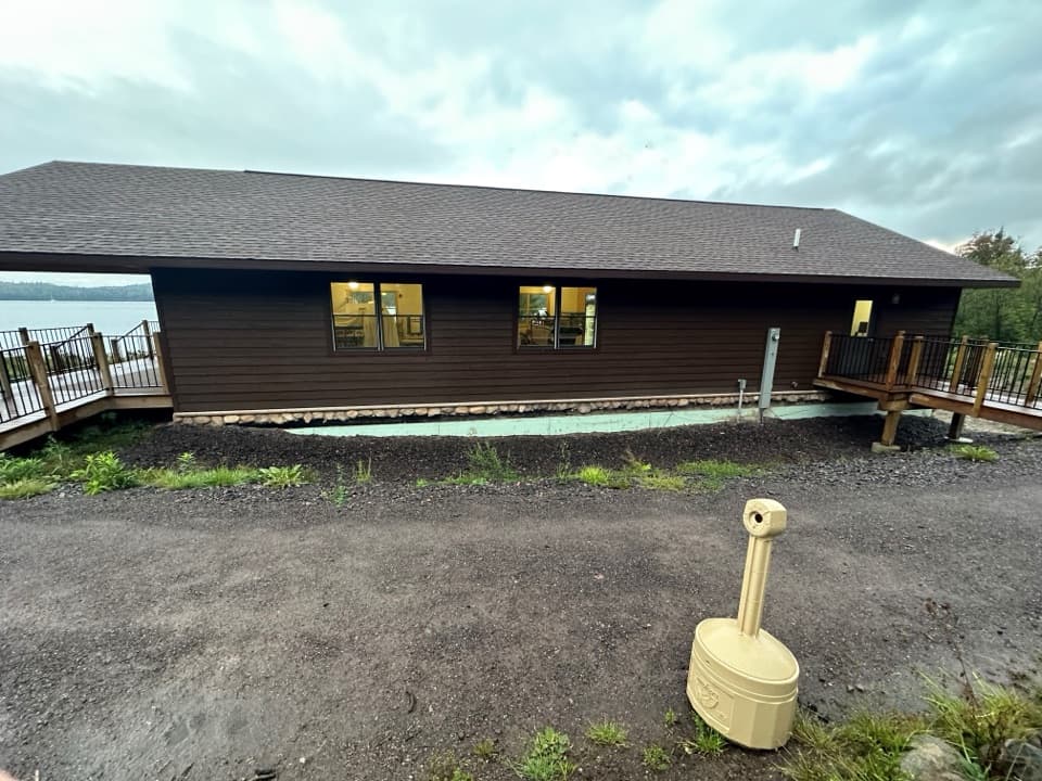 Store · 0.1 mi awayWashington Harbor StoreA handy Windigo resupply stop for groceries and camp basics.
 Campground · 0.4 mi awayWashington Creek CampgroundCreekside shelters, with moose sometimes feeding nearby.
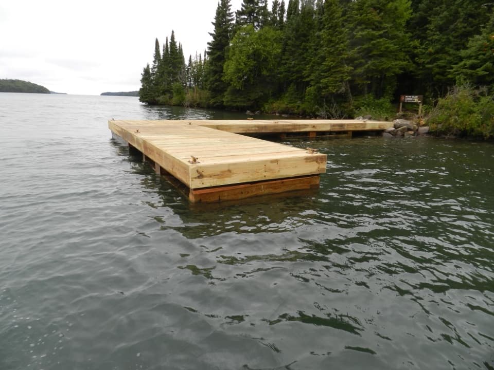 Campground · 0.9 mi awayBeaver Island CampgroundThree water-facing shelters make this a small harbor base.
 Sight · 1.5 mi awayGrace Creek OverlookA rocky spur leads to a ledge above Grace Creek.
Parkwolf’s Isle Royale ranking

The audio tour guide for the drive, plus offline maps, trails, and wildlife heatmaps for when the signal drops.