Parking
Park at the Jasper Activity Centre (303 Pyramid Avenue). A trail kiosk marks the start; the loop begins on signed Trail 8 and closes via Trail 2.

Jasper National Park, AB
Quiet lakes-and-forest loop steps from Jasper’s townsite.
Overview
For a close-to-town Jasper outing with lakes, wetland habitat, and forest, the Mina–Riley Lakes Loop offers a full half-day walk without a long drive to the trailhead. The route links lower and upper Mina Lake, Cottonwood Slough, and scenic Riley Lake on the Pyramid Bench.
 Parkwolf’s verdictWhy hike it
Map & elevation
Plan your hike

The highest, rockiest slopes around here are a summer buffet for grizzly bears.
Jasper Tour Guide
Parkwolf is a GPS audio tour guide for Jasper National Park. As you drive, it chimes in with what’s ahead: hidden gems, upcoming stops, history, geology, and wildlife, right through your car’s speakers.
See the Jasper audio tourRecorded for this trailhead
Jasper's History at the Yellowhead Museum“You're approaching a part of town that holds a lot of Jasper's history. The Jasper Yellowhead Museum is right here, and it’s where the story of the park really comes into focus.”
Plays as you drive up to this trailhead in the Parkwolf Jasper Tour Guide.
More stories near here in the app
“Fantastic app with many points of information… It’s great to just turn on while you’re driving and it gives you an audio tour of the national Park. We love it!!!!”


Trail guide
This is about 5.6 miles (9 km) round trip, starting at the Jasper Activity Centre. Follow Trail 8 from the lot through the Mina Lakes area, climbing steadily toward the lakes. Past upper Mina Lake, continue on Trail 8 along the south shore of Cottonwood Slough to Riley Lake; at the Trail 2 junction, turn right to return toward Jasper and close the loop. Parks Canada lists roughly 172 m of elevation gain/loss and a 3–4 hour hiking time.
The route passes lower and upper Mina Lake, Riley Lake, and Cottonwood Slough, where waterfowl and other birds are often seen. Expect mixed forest, wetland edges, and occasional openings with views toward Jasper and the surrounding valleys. Wildlife can include deer, elk, beavers, birds, and bears.
Trail 8 is a moderate, maintained gravel-and-dirt route with a steady initial climb and frequent junctions in the Pyramid Bench network. Surfaces can be muddy near the lakes and slough after rain, and bridges or boardwalks may be slippery when wet or icy. Keep to signed Trail 8 and Trail 2 to stay on the Mina–Riley loop.
Wildlife
 174 sightingsGrizzly BearMost seen around 8 PMSighting map
 43 sightingsCaribouMost seen around 7 AMSighting map
 40 sightingsGray WolfMost seen around 6 AMSighting map
 12 sightingsCanada LynxMost seen around 8 PMSighting map
 315 sightingsMooseMost seen around 6 AMSighting map
 1,028 sightingsElkMost seen around 7 AMSighting map
Sighting maps show where each species has been reported across Jasper. Wildlife moves, so no sighting is guaranteed.
Keep exploring
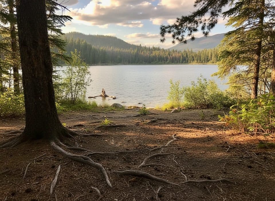 EasyTrail 8 (MinaLake)9 km · 3.5 hr · At the trailheadA moderate lake loop through Jasper's Pyramid Bench forest.ModerateCottonwood Creek Loop5.1 km · 1.5 hr · At the trailheadA 5.1 km moderate loop from Jasper’s Activity Centre through forest, creek, wetland, and Pyramid Bench views.ModerateCabin Lake Trail6.8 km · 2.3 hr · At the trailheadForest-and-lake loop from Jasper's Pyramid BenchModeratePyramid Bench Loop14.5 km · 5 hr · 0.1 km awayModerate multi-use loop from Jasper to Pyramid Lake with bench-top views over the Athabasca Valley.EasyJasper Discovery Trail8.4 km · 2.5 hr · 0.5 km away8.3 km loop around Jasper with mountain views, interpretive stops, and gentle rolling terrain
 Easy11 Town trail8.4 km · 2.5 hr · 0.8 km awayModerate loop around Jasper with mountain views, town access, and bear-marker wayfinding
 ChallengingGreat Divide Trail102 km · 1.7 days · 1 km awayA demanding 102 km Jasper-to-Mount-Robson wilderness traverse over three high passes.EasyBeauvert Lake Loop3.5 km · 1 hr · 1.4 km awayFlat 3.5 km lakeshore loop around Lac Beauvert from public P-18 parking
 Sight · 0.1 km awayJasper Yellowhead Museum and ArchivesSmall museum packed with Jasper stories, artifacts, and archives
 Gas station · 0.3 km awayFlo Charging Station - Jasper LibraryTownsite Level 2 FLO charger beside the library
 Sight · 0.3 km awayJasper Library (Flo)Cozy library with free WiFi, kids area and an EV charger
 Restaurant · 0.4 km awayBear's Paw BakeryBeloved scratch bakery for pre-hike coffee, trail cookies, and pies
 Restaurant · 0.4 km awayDe'd Dog Bar & GrillBeloved Jasper pub for pints, burgers, and post-adventure stories
 Gas station · 0.4 km awayPetro-Canada24/7 fuel and propane on Jasper's main drag
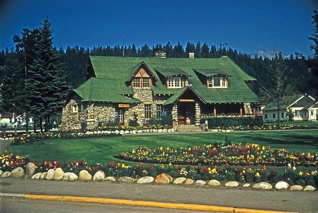 Visitor center · 0.4 km awayJasper Park Information Centre National Historic SiteHistoric stone visitor hub for maps, permits, and local tips
 Lodging · 0.4 km awayAthabasca HotelHistoric downtown hotel with lively pub vibes and central convenience
Parkwolf’s Jasper ranking
The audio tour guide for the drive, plus offline maps, trails, and wildlife heatmaps for when the signal drops.





