Parking
Park at the end of the 6.8 km unpaved Moab Lake Road, reached from Wabasso Road (Highway 93A), about 35 km south of Jasper.
Jasper National Park, AB
Historic 48.5 km one-way backcountry route up the Whirlpool River valley to Athabasca Pass
Overview
This remote 48.5 km (30.1 mi) one-way backcountry route follows the Whirlpool River valley from the Moab Lake Road trailhead to historic Athabasca Pass. Plan a 4–5 day backpacking trip, carry a backcountry camping permit, and arrange your return or continue only with a suitable expedition plan. The route passes Whirlpool, Tie, Middle Forks, Scott, and Kane Meadows camps; the final park campground is about 1 km below the pass, with the Athabasca Pass National Historic Site and Committee’s Punch Bowl beyond.
Map & elevation
Plan your hike

The highest, rockiest slopes around here are a summer buffet for grizzly bears.
Jasper Tour Guide
Parkwolf is a GPS audio tour guide for Jasper National Park. As you drive, it chimes in with what’s ahead: hidden gems, upcoming stops, history, geology, and wildlife, right through your car’s speakers.
See the Jasper audio tourRecorded for this area
Why the Whirlpool River Whirls“The Whirlpool River definitely lives up to its name. All those swirls you see are created as the water rushes over boulders and through narrow spots, forcing it to spin into eddies.”
Plays on the road 1.7 km from the trailhead in the Parkwolf Jasper Tour Guide.
More stories near here in the app
“Fantastic app with many points of information… It’s great to just turn on while you’re driving and it gives you an audio tour of the national Park. We love it!!!!”


Wildlife
 174 sightingsGrizzly BearMost seen around 8 PMSighting map
 43 sightingsCaribouMost seen around 7 AMSighting map
 40 sightingsGray WolfMost seen around 6 AMSighting map
 12 sightingsCanada LynxMost seen around 8 PMSighting map
 315 sightingsMooseMost seen around 6 AMSighting map
 1,028 sightingsElkMost seen around 7 AMSighting map
Sighting maps show where each species has been reported across Jasper. Wildlife moves, so no sighting is guaranteed.
Keep exploring
 EasyAthabasca Falls Loop0.8 km · 45 min · 4.9 km awayEasy, developed out-and-back to Jasper’s most powerful waterfall and canyon
 ChallengingGeraldine Lakes Trail12.4 km · 6 hr · 5.3 km awayRugged lakes-and-waterfalls climb to a backcountry campground beneath Jasper’s big peaks.ModerateMoab Lake Trail15.1 km · 4 hr · 6.4 km awayA quiet, moderate road walk to a Moab Lake viewpoint via the Whirlpool valleyModerateLeach Lake Trail15.4 km · 4.5 hr · 6.4 km awayWinter route to Leach Lake with Mount Hardisty and Mount Kerkeslin views.EasyHorseshoe Lake Circuit1.6 km · 30 min · 6.5 km awayShort Horseshoe Lake lollipop with clear water, shoreline views, and cliff-top viewpoints
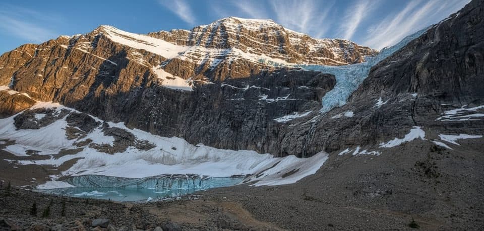 EasyPath of the Glacier (Mount Edith Cavell)1.6 km · 1 hr · 7.1 km awayBig glacier payoff on a tiny, family-friendly walk to Angel Glacier
 Sight · 4.8 km awayAthabasca FallsRoaring glacier-fed falls squeezed into a narrow quartzite canyon
 Lodging · 5.4 km awayHI Athabasca FallsRustic hostel steps from Athabasca Falls with a cozy cookhouse
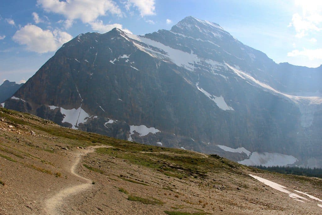 Sight · 6 km awayCavell MeadowsAlpine meadows and up-close views of Angel Glacier
 Sight · 6.8 km awayHorseshoe LakeCliff-ringed turquoise lake just off the Parkway
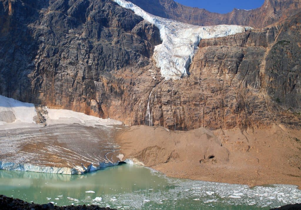 Sight · 6.9 km awayMount Edith CavellAngel Glacier views and wildflower meadows on Jasper’s signature peak
 Campground · 7.1 km awayMt Kerkeslin CampgroundQuiet, riverside first‑come campground on the Icefields Parkway
 Sight · 7.2 km awayAngel GlacierShort walk to a dramatic hanging glacier and iceberg-dotted pond
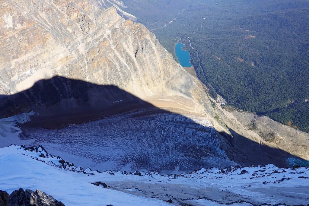 Sight · 7.9 km awayCavell LakeQuiet turquoise lake with knockout Mount Edith Cavell reflections
Parkwolf’s Jasper ranking

The audio tour guide for the drive, plus offline maps, trails, and wildlife heatmaps for when the signal drops.




