Parking
Parking is at the Astoria Trailhead at the end of Mount Edith Cavell Road, near the Edith Cavell Hostel; confirm seasonal road access with Parks Canada before traveling.

Jasper National Park, AB
Forested approach along the Astoria River to Astoria Campground
Overview
Astoria River Trail is the short, approachable gateway to the Tonquin Valley from the Astoria Trailhead. The route follows the Astoria River through subalpine forest and river flats toward the backcountry’s larger glacial valleys, with the surrounding Rockies providing the scenery and a good chance of wildlife sightings.
 Parkwolf’s verdictWhy go
Map & elevation
Plan your hike

The highest, rockiest slopes around here are a summer buffet for grizzly bears.
Jasper Tour Guide
Parkwolf is a GPS audio tour guide for Jasper National Park. As you drive, it chimes in with what’s ahead: hidden gems, upcoming stops, history, geology, and wildlife, right through your car’s speakers.
See the Jasper audio tourRecorded for this trailhead
Mount Edith Cavell: Glaciers and Alpine Trails“You're now heading for the Mount Edith Cavell area, one of the most dramatic mountain scenes in Jasper. The main attraction is the stunning north face of the mountain, with Angel Glacier hanging right in the middle.”
Plays as you drive up to this trailhead in the Parkwolf Jasper Tour Guide.
More stories near here in the app
“Fantastic app with many points of information… It’s great to just turn on while you’re driving and it gives you an audio tour of the national Park. We love it!!!!”


Trail guide
Start at the Astoria Trailhead at the end of Mount Edith Cavell Road and follow the signed trail west to Astoria Campground. Parks Canada describes the campground as about 7.1 km/4.4 mi one way; allow about 8.8 mi/14.2 km for the full out-and-back. The track is mostly a steady, manageable valley route, with roots, rocks, wet ground, and occasional creek crossings. The trail continues into the Tonquin backcountry beyond the campground, but this listing ends at Astoria Campground.
This is a moderate day hike for visitors prepared for a long backcountry approach rather than a quick viewpoint walk. The route is used by backpackers and horses, and conditions can be rough or muddy after rain and during early-season snowmelt. Overnight travel requires backcountry planning and reservations.
Expect dense spruce and fir, river sounds, open flats, and broad U-shaped glacial terrain framed by the Rockies. Summer brings wildflowers and insects; autumn can bring clearer conditions and golden larches. Carry bear spray, follow food-storage guidance, and check Parks Canada access notices and trail conditions before you go.
Wildlife
 174 sightingsGrizzly BearMost seen around 8 PMSighting map
 43 sightingsCaribouMost seen around 7 AMSighting map
 40 sightingsGray WolfMost seen around 6 AMSighting map
 12 sightingsCanada LynxMost seen around 8 PMSighting map
 315 sightingsMooseMost seen around 6 AMSighting map
 1,028 sightingsElkMost seen around 7 AMSighting map
Sighting maps show where each species has been reported across Jasper. Wildlife moves, so no sighting is guaranteed.
Keep exploring
 ChallengingTonquin Valley Trail42.6 km · 16 hr · At the trailheadA 42.6 km backcountry traverse from Astoria to Portal beneath the Ramparts
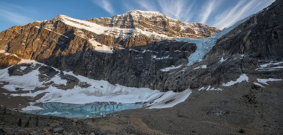 EasyPath of the Glacier (Mount Edith Cavell)1.6 km · 1 hr · 1.7 km awayBig glacier payoff on a tiny, family-friendly walk to Angel Glacier
 ModerateCavell Meadows8.4 km · 4.5 hr · 1.8 km awayGlacier views and alpine meadows on a rewarding mountain trailModerateWhirlpool River Trail13.4 km · 4.5 hr · 8 km awayHistoric Whirlpool River valley out-and-back to a riverside campgroundChallengingAthabasca Pass Trail48.4 km · 4 days · 8 km awayHistoric 48.5 km one-way backcountry route up the Whirlpool River valley to Athabasca Pass
 ChallengingPortal Creek Trail20.1 km · 8 hr · 8.9 km awayForest slog to alpine meadows and Maccarib Pass—the Tonquin gateway.
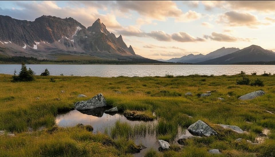 ChallengingMaccarib Pass Trail24 km · 8 hr · 8.9 km awayBig Ramparts views after a long, often muddy approachModerateMoab Lake Trail15.1 km · 4 hr · 9.2 km awayA quiet, moderate road walk to a Moab Lake viewpoint via the Whirlpool valley
 Lodging · 0.2 km awayHI Mount Edith CavellRustic hostel under Edith Cavell with kitchen and glacier views
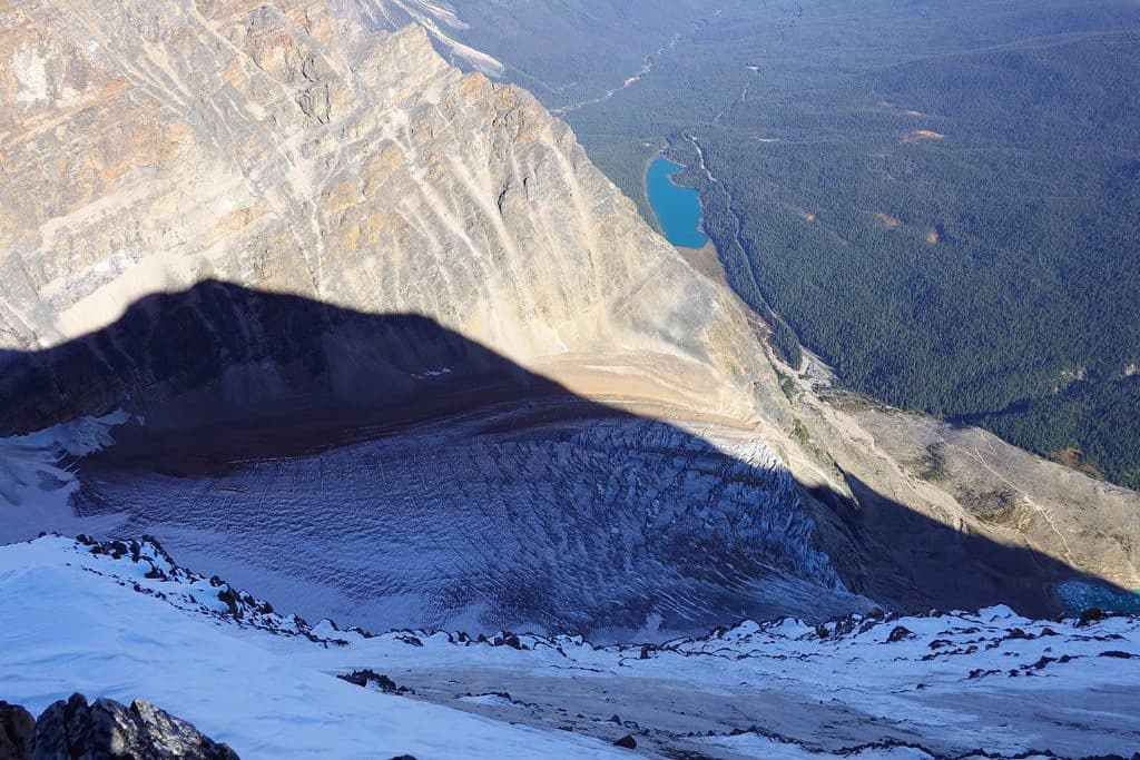 Sight · 0.5 km awayCavell LakeQuiet turquoise lake with knockout Mount Edith Cavell reflections
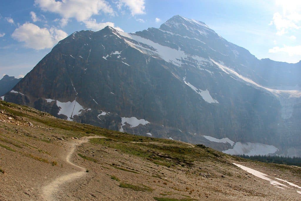 Sight · 2.6 km awayCavell MeadowsAlpine meadows and up-close views of Angel Glacier
 Sight · 2.9 km awayAngel GlacierShort walk to a dramatic hanging glacier and iceberg-dotted pond
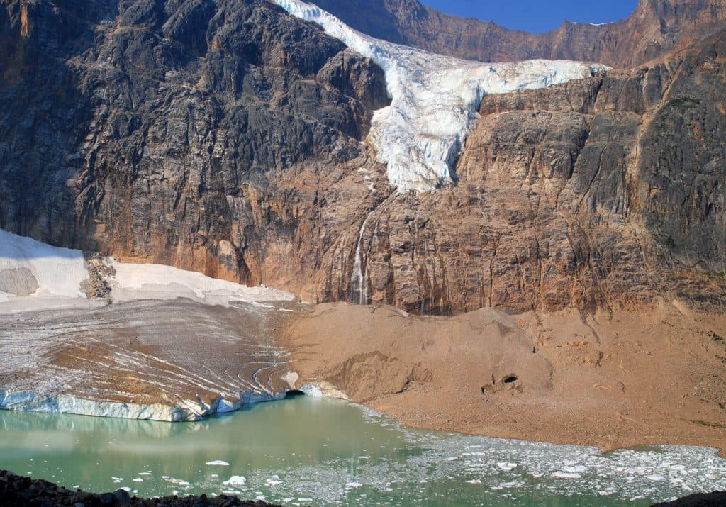 Sight · 3.8 km awayMount Edith CavellAngel Glacier views and wildflower meadows on Jasper’s signature peak
 Campground · 8.2 km awayWabasso CampgroundRiverside basecamp with spacious sites and modern bathrooms, no showers
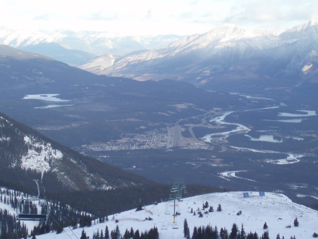 Sight · 11.1 km awayMarmot BasinScenic, laid-back Rockies ski hill with terrain for every level
 Sight · 12.6 km awayAthabasca FallsRoaring glacier-fed falls squeezed into a narrow quartzite canyon
Parkwolf’s Jasper ranking
The audio tour guide for the drive, plus offline maps, trails, and wildlife heatmaps for when the signal drops.




