Parking
Use P15 on the Icefields Parkway, 9 km south of Jasper townsite. The official trail map marks accessible toilets at the parking area.
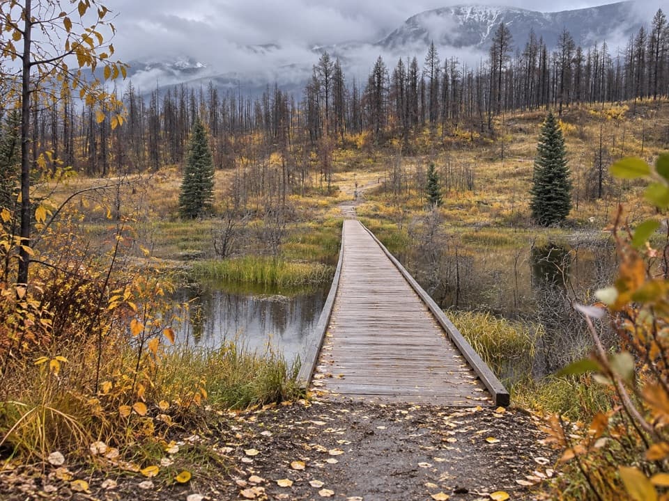
Jasper National Park, AB
A level forest walk to a bridge across a wetland.
Overview
The path passes through forest regrowth following Jasper's 2024 wildfire, then crosses a wetland on a pedestrian bridge. Benches sit beside the crossing, making it an easy place to pause before turning back. The boardwalk is the route's defining view; look along its planks with marsh plants on either side to keep the wetland in the frame.
 Parkwolf’s verdictThe bridge is the payoff
Map & elevation
Plan your hike

The highest, rockiest slopes around here are a summer buffet for grizzly bears.
Jasper Tour Guide
Parkwolf is a GPS audio tour guide for Jasper National Park. As you drive, it chimes in with what’s ahead: hidden gems, upcoming stops, history, geology, and wildlife, right through your car’s speakers.
See the Jasper audio tourRecorded for this trailhead
Valley of the Five Lakes: Emerald Circuit“You're coming up on the Valley of the Five Lakes trailhead, where a walk links green and turquoise water beneath the mountains.”
Plays as you drive up to this trailhead in the Parkwolf Jasper Tour Guide.
More stories near here in the app
“Fantastic app with many points of information… It’s great to just turn on while you’re driving and it gives you an audio tour of the national Park. We love it!!!!”


Trail guide
Wetland Way is an easy, flat 1.8 km out-and-back (1.1 miles return) from P15 to the junction for the Valley of the Five Lakes routes. The mapped trail corridor runs about 0.9 km each way; you retrace it to return to the car. Allow about 30 minutes for the walk, or longer if you linger by the water. It is the right choice when you want the bridge and marsh without taking on a lake loop.
P15 is 9 km south of the Jasper townsite on the Icefields Parkway. The official trail map marks accessible toilets beside the parking area. Wetland Way ends before the longer lake loops begin, so it does not visit the five lakes; the separate loop choices are 5.4 km and 7.7 km. Dogs may join on leash and under control.
Wildlife
 175 sightingsGrizzly BearMost seen around 8 PMSighting map
 43 sightingsCaribouMost seen around 7 AMSighting map
 41 sightingsGray WolfMost seen around 6 AMSighting map
 12 sightingsCanada LynxMost seen around 8 PMSighting map
 320 sightingsMooseMost seen around 6 AMSighting map
 1,048 sightingsElkMost seen around 7 AMSighting map
Sighting maps show where each species has been reported across Jasper. Wildlife moves, so no sighting is guaranteed.
Keep exploring
 ModerateValley of the Five Lakes – Emerald Loop5.4 km · 1.8 hr · At the trailheadA moderate loop for five lakes, red chairs, and bigger mountain views.ModerateValley of the Five Lakes – Valley Loop7.7 km · 2.5 hr · At the trailheadA quieter loop around First Lake and its turquoise water.
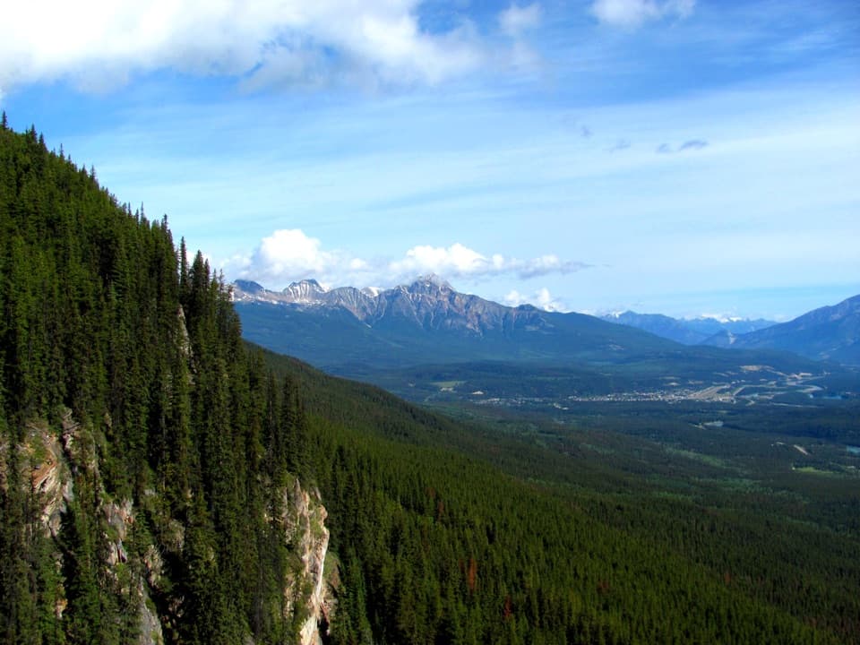 EasyEdge of the World Trail0.6 km · 30 min · 3.7 km awayA quick walk to a wide valley view from a cliff edge.
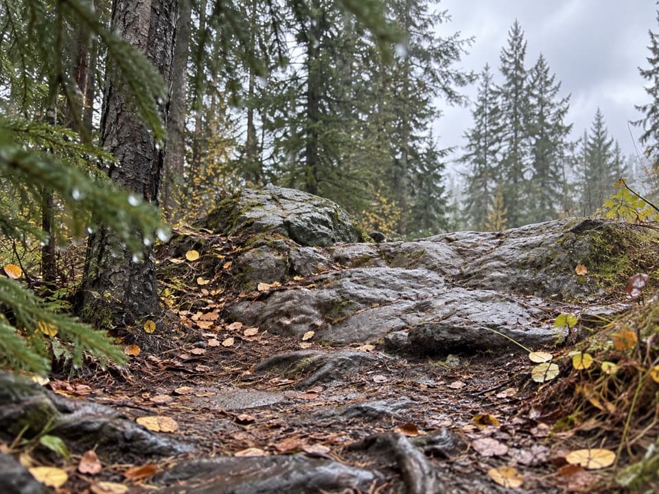 ChallengingWabasso–Curator Trail15 km · 7 hr · 5.2 km awayA steep 15 km climb from the Icefields Parkway to the Skyline.
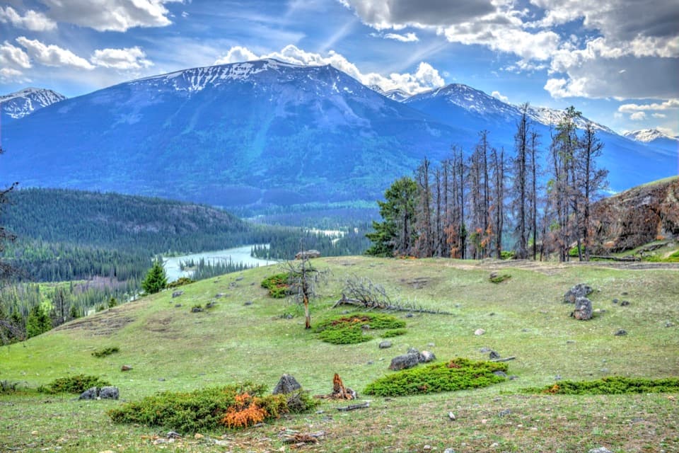 ModerateOld Fort Point Loop3.8 km · 1.3 hr · 7.5 km awayA short climb, a sweeping view over Jasper and the Athabasca
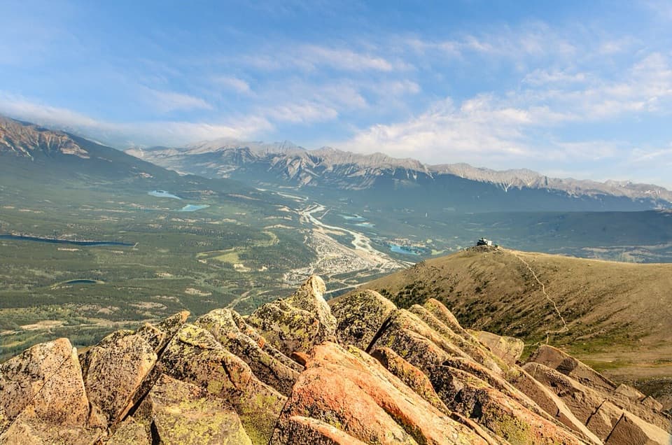 ModerateThe Whistlers Summit Trail2.2 km · 1.5 hr · 7.5 km awayExposed alpine climb to Whistlers Summit for sweeping valley views.
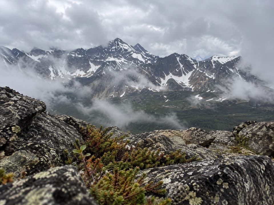 ChallengingIndian Ridge Trail from Whistlers Summit8.9 km · 5.5 hr · 7.6 km awayFour alpine humps lead to wide views beyond Whistlers Summit.
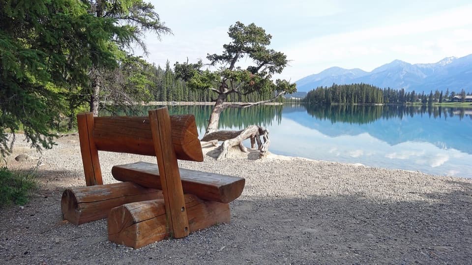 EasyLakes Loop Trail13.9 km · 2.5 hr · 8.2 km awayA gentle town loop links Jasper with three lakes and beaches.
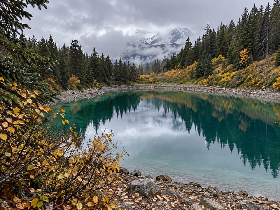 Sight · 1.5 km awayRed Chairs at the Valley of the Five LakesA chair-side pause on a glacially carved five-lake walk.
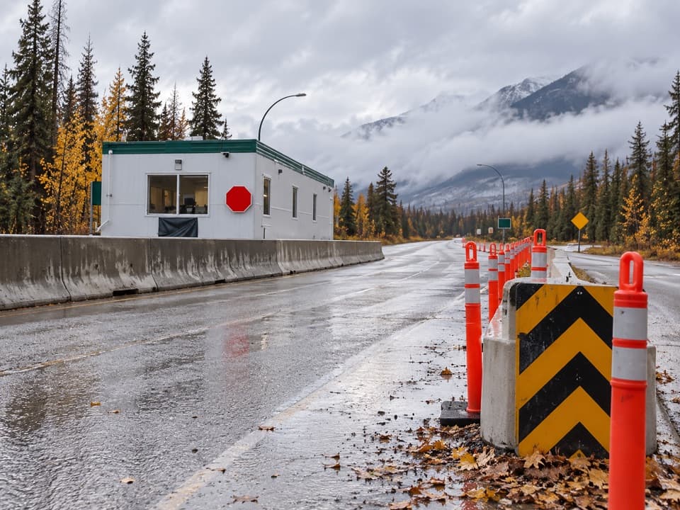 Entrance station · 2.3 km awayJasper National Park South GateA pass checkpoint on the Icefields Parkway, six kilometres south of town.
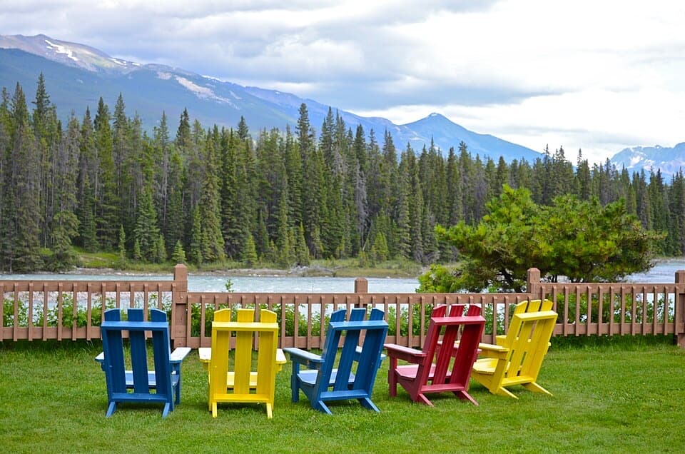 Lodging · 3.4 km awayBecker’s ChaletsCabins beside the Athabasca, with elk often across the river
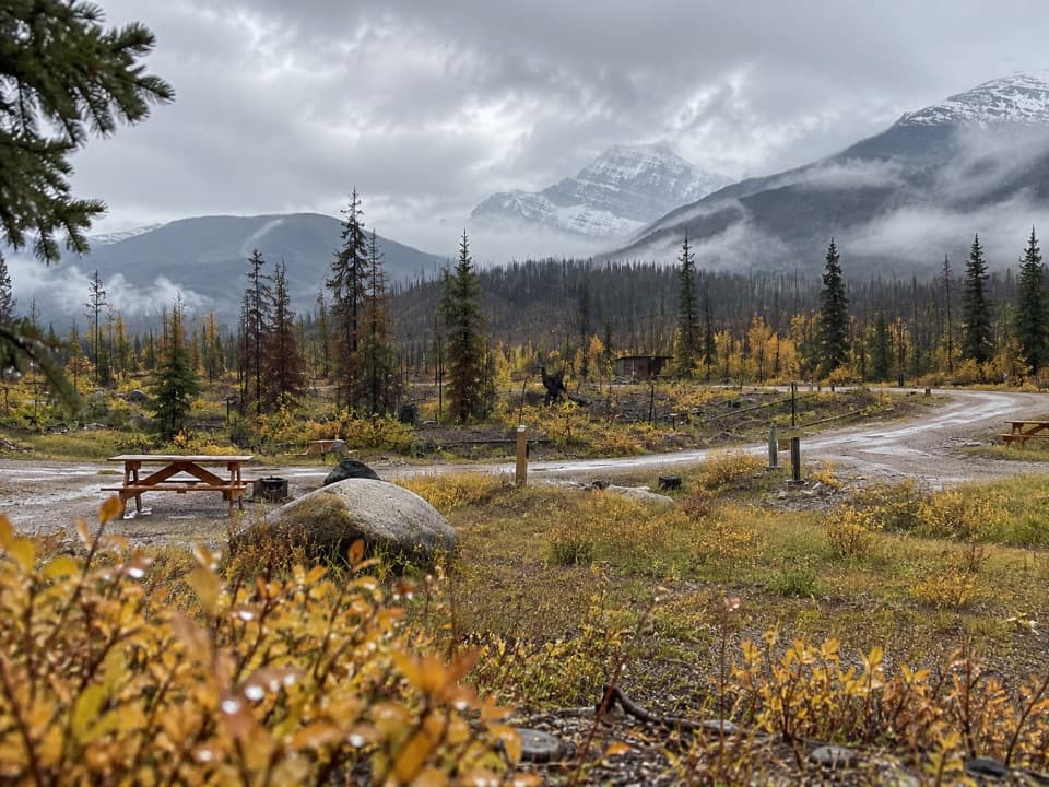 Campground · 3.8 km awayWapiti CampgroundA practical campground base a short drive from Jasper.
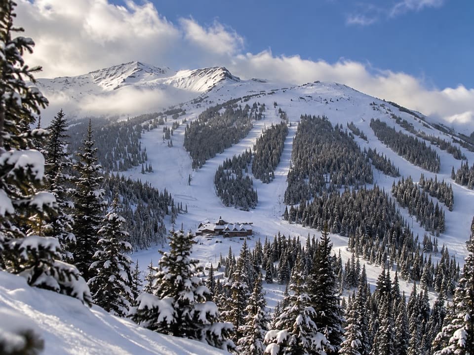 Sight · 4.1 km awayMarmot BasinFive faces of skiing, from gentle groomers to alpine bowls.
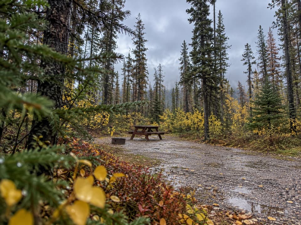 Campground · 5 km awayWabasso CampgroundA frontcountry base beside the Athabasca River.
 Campground · 5.7 km awayWhistlers CampgroundHot showers, open mountain views, and elk through camp.
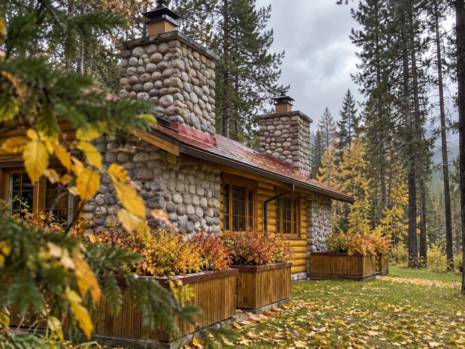 Lodging · 6.8 km awayAlpine Village Cabin ResortA riverside log-cabin base with mountain views, elk, and a hot tub.
Parkwolf’s Jasper ranking
The audio tour guide for the drive, plus offline maps, trails, and wildlife heatmaps for when the signal drops.





