Parking
Park at the Jasper SkyTram lower station and ride to the upper terminal, where this route begins. Walking up from the valley is a separate, steep climb of roughly 6 km and more than 1,000 m; it is not included in the route distance.
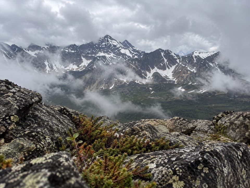
Jasper National Park, AB
Four alpine humps lead to wide views beyond Whistlers Summit.
Overview
Map & elevation
Plan your hike

The highest, rockiest slopes around here are a summer buffet for grizzly bears.
Jasper Tour Guide
Parkwolf is a GPS audio tour guide for Jasper National Park. As you drive, it chimes in with what’s ahead: hidden gems, upcoming stops, history, geology, and wildlife, right through your car’s speakers.
See the Jasper audio tourRecorded for this trailhead
Jasper SkyTram: Views Without the Summit Climb“You're approaching the Jasper SkyTram lower station, where a seven-minute ride takes you more than a thousand metres up Whistlers Mountain.”
Plays as you drive up to this trailhead in the Parkwolf Jasper Tour Guide.
More stories near here in the app
“Fantastic app with many points of information… It’s great to just turn on while you’re driving and it gives you an audio tour of the national Park. We love it!!!!”


Trail guide
Indian Ridge Trail from Whistlers Summit is an 8.9 km (5.5 mile) out-and-back from the Jasper SkyTram upper station. It climbs to Whistlers summit, drops to a marshy low point, then climbs to the first four humps of Indian Ridge. Allow about five to six hours for the steep return and time on the ridge. The Indian Ridge extension is unofficial; turn around before the fifth, increasingly technical summit.
The first roughly 1.2 km (0.7 mile) follows the marked Whistlers Summit trail from the upper terminal. Several rounded tops can look like the summit; the true high point is marked by a large compass and cairns. This is the easier, busier part of the outing. From the summit, Indian Ridge curves away across the valley.
After the summit, the route leaves the maintained trail, descends several hundred metres toward a broad marshy dip, then climbs steeply onto the ridge. The scree and shale are loose, especially on the descent, and small rocks can roll downhill. Leave space between hikers on the slope and avoid walking directly below someone who is moving rock.
The first four humps bring the high alpine views: orange slopes on Terminal Mountain, the Marmot Basin lift, and a green valley with a dry riverbed below the ridge. The fifth hump steepens into a technical scramble on loose rock; it is beyond this hike's turnaround. The exposed ridge offers little shelter if mountain weather changes. From the higher humps, frame the curving ridge against the valley to show its scale.
Park at the Jasper SkyTram lower station and ride to the upper terminal, where the route begins. Walking up from the valley is a separate, steep climb of roughly 6 km and more than 1,000 m; it is not included in the 8.9 km route distance. Check that the tram is operating on your date. Dogs are allowed on leash.
Hoary marmots live on Whistlers Mountain, and their high, thin calls gave the mountain its name. Listen for them around the summit, but sightings are never guaranteed.
Wildlife
 175 sightingsGrizzly BearMost seen around 8 PMSighting map
 43 sightingsCaribouMost seen around 7 AMSighting map
 41 sightingsGray WolfMost seen around 6 AMSighting map
 12 sightingsCanada LynxMost seen around 8 PMSighting map
 320 sightingsMooseMost seen around 6 AMSighting map
 1,048 sightingsElkMost seen around 7 AMSighting map
Sighting maps show where each species has been reported across Jasper. Wildlife moves, so no sighting is guaranteed.
Keep exploring
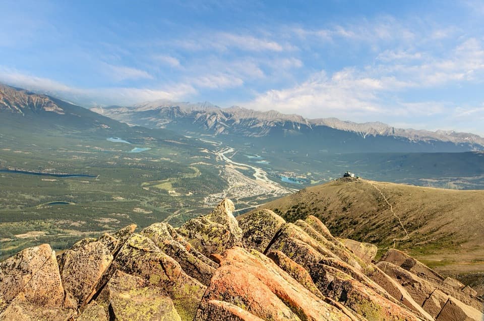 ModerateThe Whistlers Summit Trail2.2 km · 1.5 hr · 0.1 km awayExposed alpine climb to Whistlers Summit for sweeping valley views.
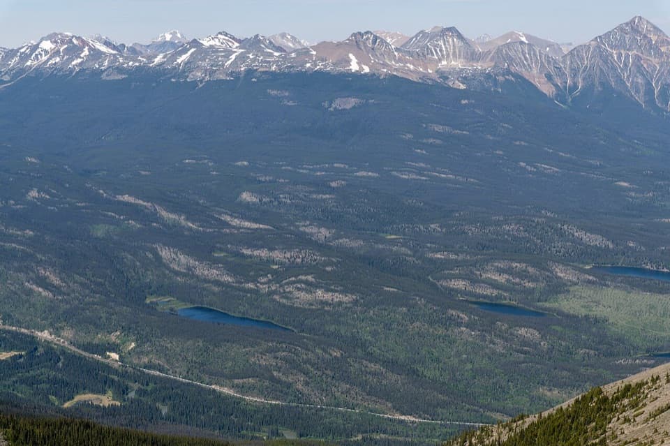 ModerateCaledonia Lake Trail8.4 km · 5 hr · 4 km awayA wooded out-and-back to Caledonia Lake via Marjorie Lake.
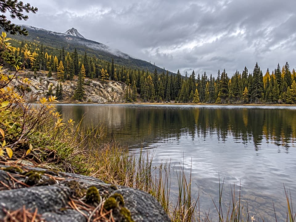 ModerateSaturday Night Lake Loop24.6 km · 8 hr · 4.3 km awayA long wooded lake loop with steep climbs and muddy stretches.
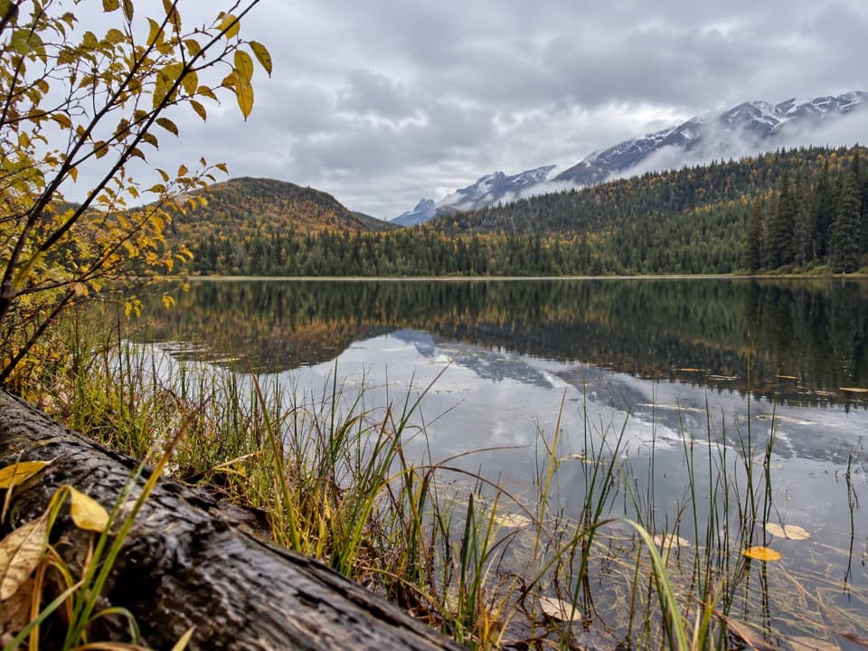 ModerateMinnow Lake Trail18.4 km · 5.5 hr · 4.3 km awayA long climb ends at a small lake tucked into pines.
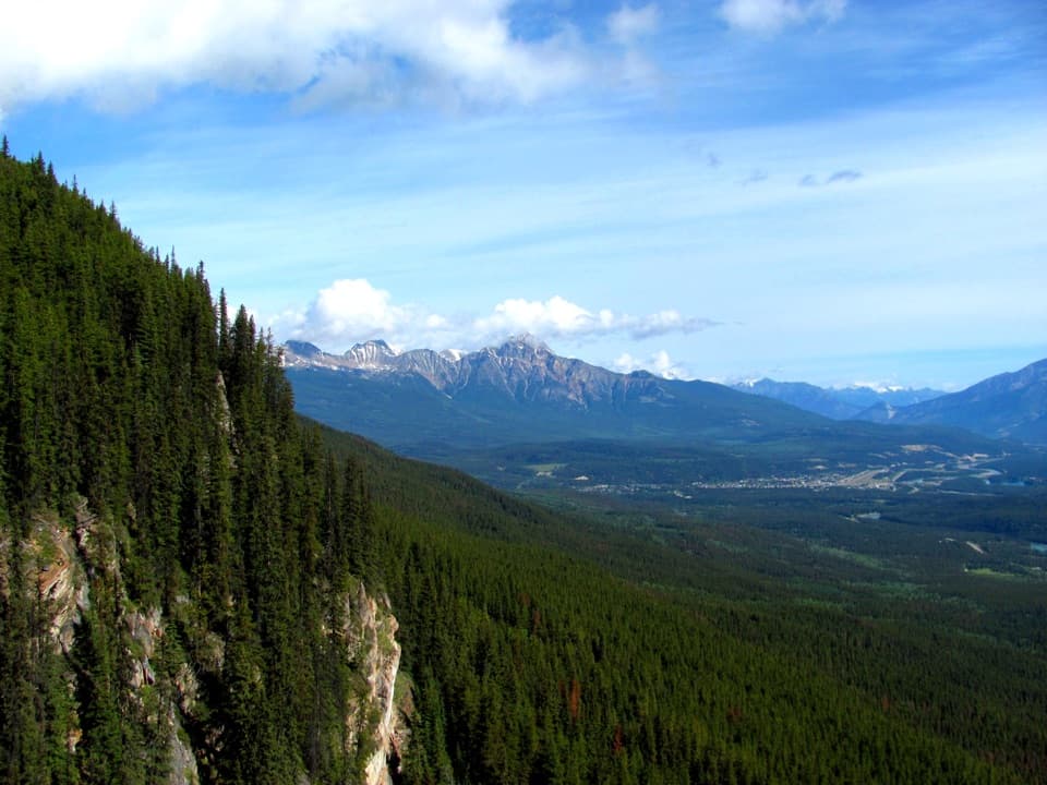 EasyEdge of the World Trail0.6 km · 30 min · 4.9 km awayA quick walk to a wide valley view from a cliff edge.
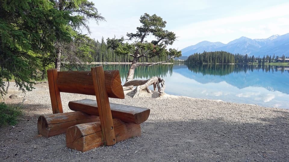 EasyLakes Loop Trail13.9 km · 2.5 hr · 5.1 km awayA gentle town loop links Jasper with three lakes and beaches.
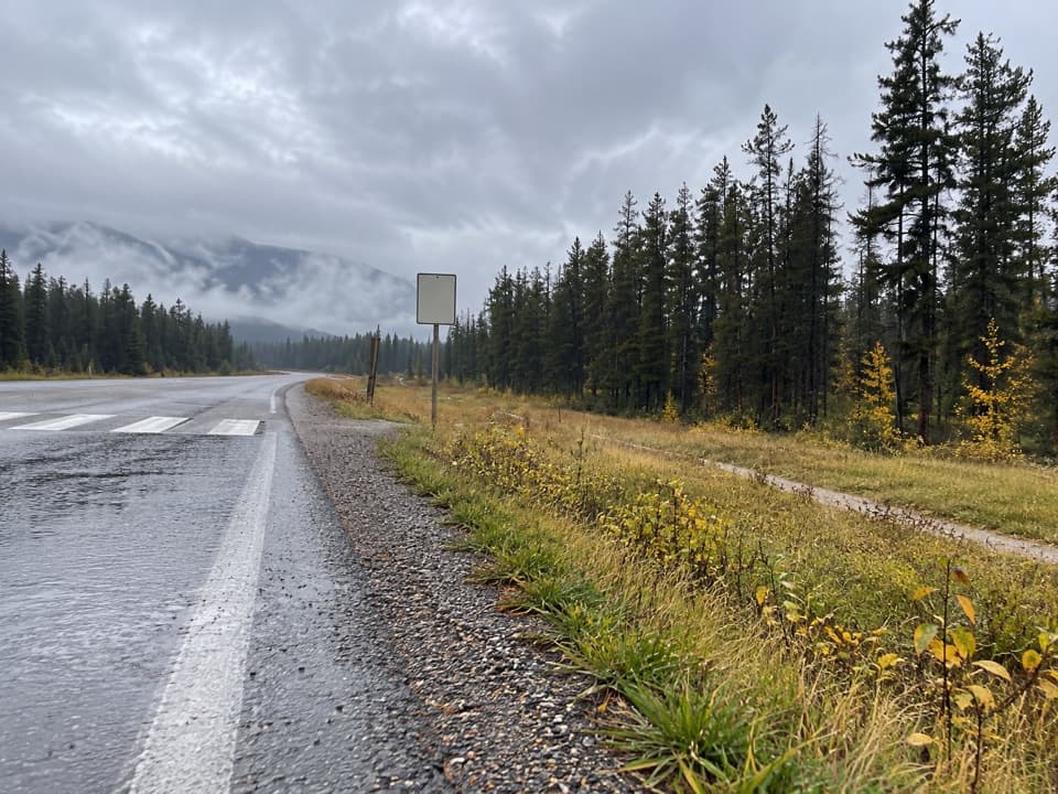 EasyCampgrounds Trail4.7 km · 1.3 hr · 5.1 km awayAn easy riverside link from Jasper to its campgrounds.
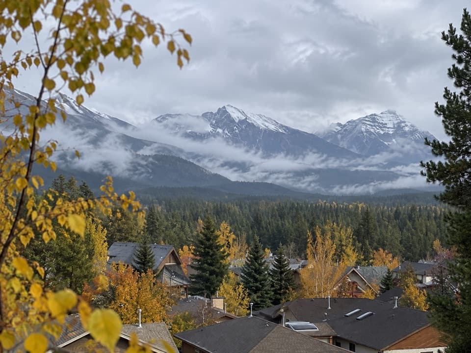 EasyJasper Discovery Trail8.3 km · 2.5 hr · 5.5 km awayA town loop for Jasper views, history, and an easy outing.
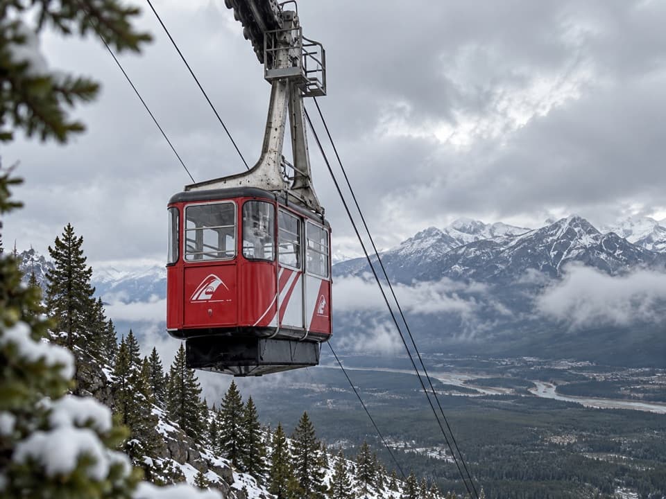 Sight · 1.7 km awayJasper SkyTramA seven-minute ride opens Rockies views; the summit climb is optional.
 Campground · 3.4 km awayWhistlers CampgroundHot showers, open mountain views, and elk through camp.
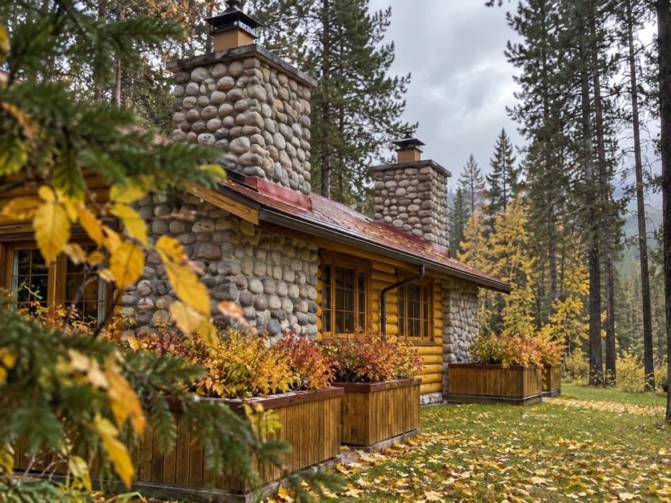 Lodging · 4.3 km awayAlpine Village Cabin ResortA riverside log-cabin base with mountain views, elk, and a hot tub.
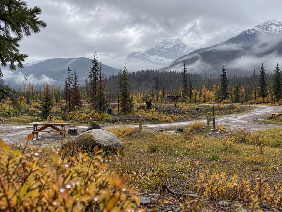 Campground · 4.3 km awayWapiti CampgroundA practical campground base a short drive from Jasper.
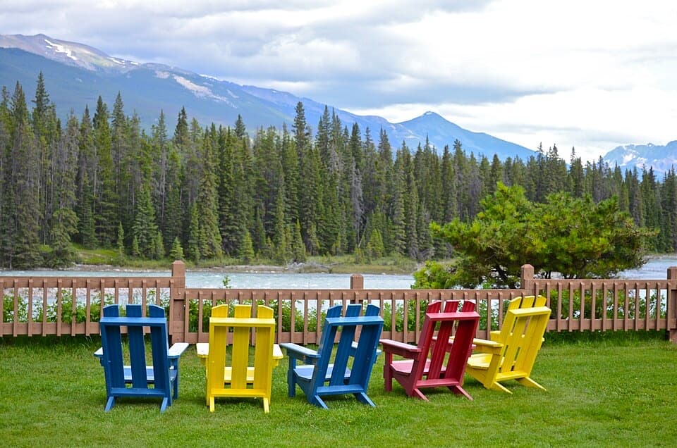 Lodging · 4.6 km awayBecker’s ChaletsCabins beside the Athabasca, with elk often across the river
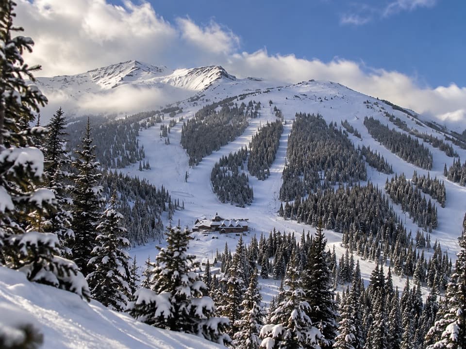 Sight · 4.9 km awayMarmot BasinFive faces of skiing, from gentle groomers to alpine bowls.
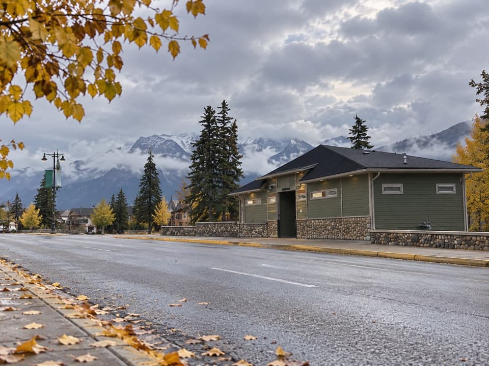 Restroom · 5.2 km awayConnaught Drive Public Washrooms at Hazel AvenueA practical washroom with step-free access beside Connaught Drive.
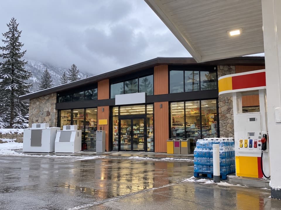 Gas station · 5.2 km awayShell — JasperFuel up here before the Parkway's long stretch with few services.
Parkwolf’s Jasper ranking

The audio tour guide for the drive, plus offline maps, trails, and wildlife heatmaps for when the signal drops.





