Parking
Use the Maligne Canyon public parking lot, then follow Maligne Lake Road about 350 m to the cairn marking the access track. The turn-off is unmarked and easy to miss.
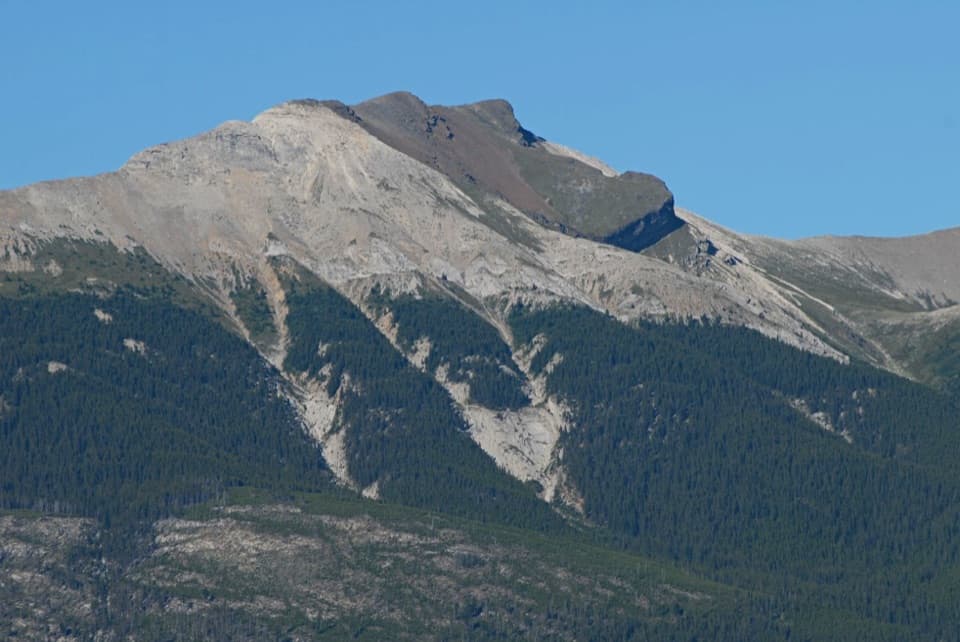
Jasper National Park, AB
A brutal climb to a ridge shaped like an old man's face.
Photo: ian / Wikimedia Commons / CC BY-SA 2.0
Overview
Map & elevation
Plan your hike

The highest, rockiest slopes around here are a summer buffet for grizzly bears.
Jasper Tour Guide
Parkwolf is a GPS audio tour guide for Jasper National Park. As you drive, it chimes in with what’s ahead: hidden gems, upcoming stops, history, geology, and wildlife, right through your car’s speakers.
See the Jasper audio tourRecorded for this trailhead
Maligne Canyon: Bridges and Fossil Shells“Up ahead is Maligne Canyon, where bridges let you look into a limestone gorge more than fifty metres deep. For a short visit, start at the upper parking area and give the first two bridges fifteen to thirty minutes.”
Plays as you drive up to this trailhead in the Parkwolf Jasper Tour Guide.
More stories near here in the app
“Fantastic app with many points of information… It’s great to just turn on while you’re driving and it gives you an audio tour of the national Park. We love it!!!!”


Trail guide
Roche Bonhomme, locally called Old Man Mountain, is a steep out-and-back scramble from Maligne Canyon to a high ridge with a face-shaped profile. The full tracked line is about 6.4 miles (10.3 km) round trip, including the access from the parking area, with about 4,400 feet (1,340 m) of climbing. Allow five to seven hours. Published distances vary; this mapped version follows the complete GPS track from the canyon access. The scramble is straightforward technically, but the long, steep climb makes it a serious day.
Use the Maligne Canyon public parking lot, then follow Maligne Lake Road about 350 metres to a large cairn and forest entrance. The turn-off is unmarked and easy to miss. This is not a signed or routinely maintained park hiking trail, so know the route before leaving the road.
The track climbs almost immediately through forest and two canyon sections. The grade eases briefly, then steepens beside a broad slab, with some overgrown ground. Above treeline, the forest gives way to scree below cliff bands, with cairns and braided paths. Loose rock makes footing slower; choose your line carefully rather than forcing a direct climb.
The ridge is the payoff: its high points form a forehead, nose and chin in profile, with cairns along the way and a small cave between two of the knobs. Views open over Maligne Canyon and toward Jasper, Edith, Patricia and Trefoil lakes. For a photo, frame the canyon below the ridge so the height reads in the picture.
Return the same way. Loose scree and the steep forest track make the descent demanding too; dry ground can become dusty and slippery. Carry enough food and water for a full day and leave time for a careful walk back down.
Wildlife
 175 sightingsGrizzly BearMost seen around 8 PMSighting map
 43 sightingsCaribouMost seen around 7 AMSighting map
 41 sightingsGray WolfMost seen around 6 AMSighting map
 12 sightingsCanada LynxMost seen around 8 PMSighting map
 320 sightingsMooseMost seen around 6 AMSighting map
 1,048 sightingsElkMost seen around 7 AMSighting map
Sighting maps show where each species has been reported across Jasper. Wildlife moves, so no sighting is guaranteed.
Keep exploring
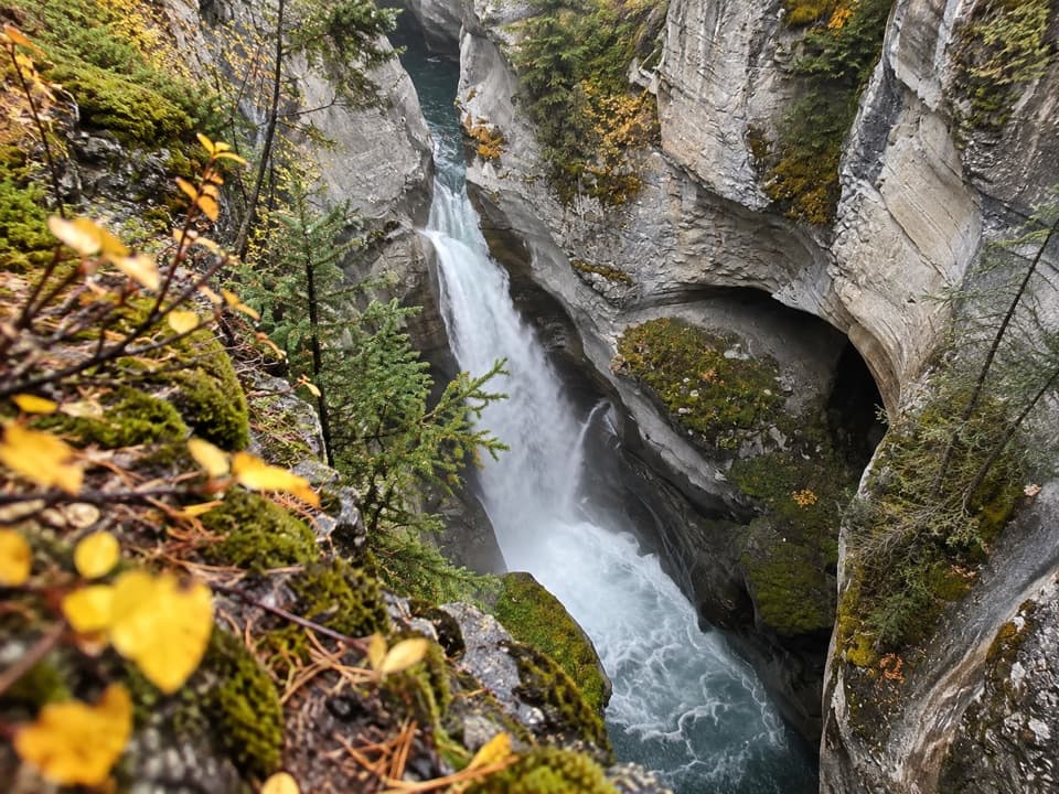 ModerateMaligne Canyon Trail4.2 km · 2 hr · At the trailheadA deep limestone gorge and five bridges on a 4.2 km return.
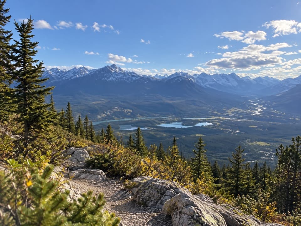 ChallengingSignal Mountain Fire Road18.5 km · 8 hr · 0.8 km awayA long fire-road climb to Jasper and Athabasca Valley views.
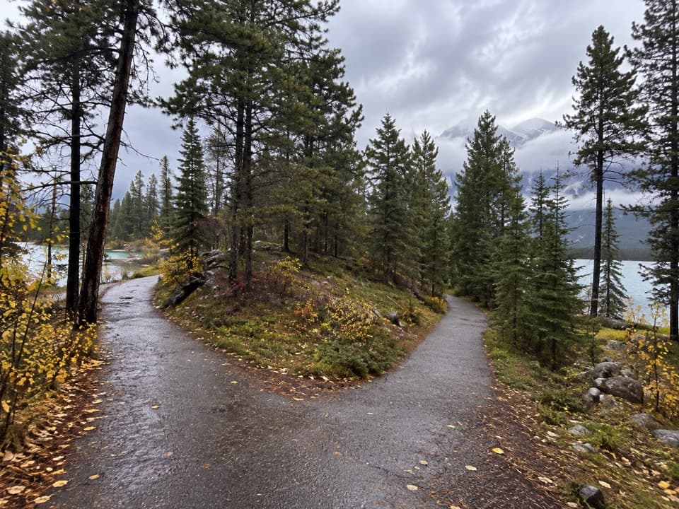 EasyLake Annette Loop2.4 km · 1.2 hr · 4.1 km awayA paved lakeshore circuit with mountain views and wheelchair-height signs.
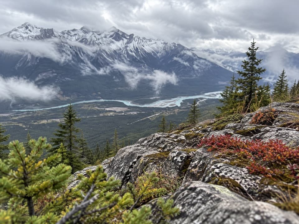 ChallengingPalisades Lookout Trail19.3 km · 8 hr · 5.5 km awayA long climb to a former fire lookout above the Athabasca Valley
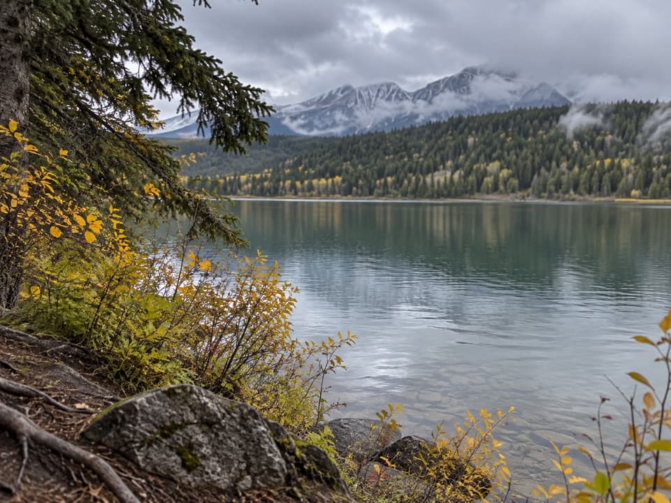 ModeratePatricia Lake Loop4.8 km · 2.5 hr · 6.3 km awayA lake and wetland loop with red chairs facing Whistler.
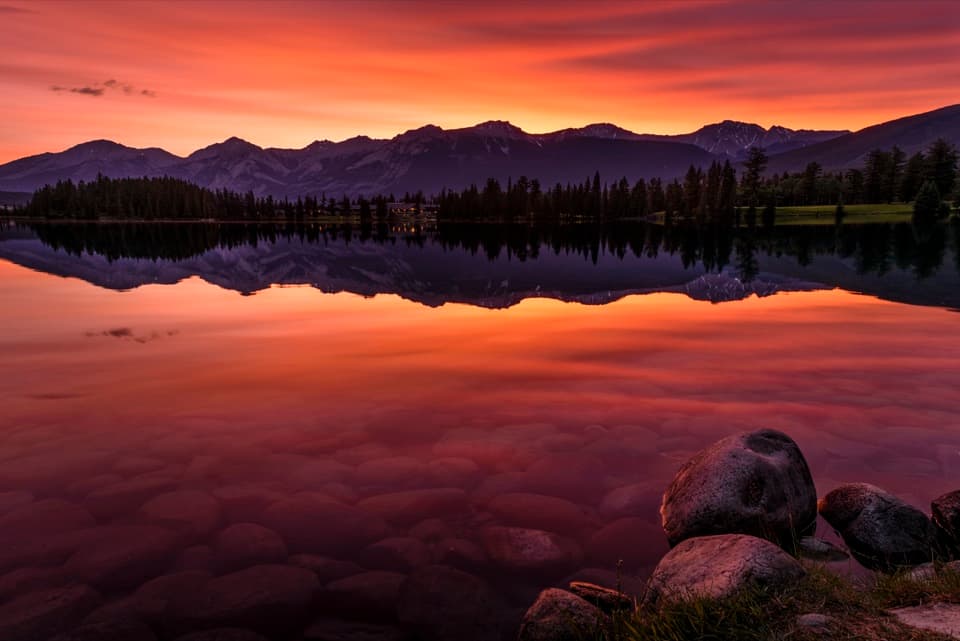 EasyLac Beauvert Loop3.5 km · 1.3 hr · 6.3 km awayEasy lakeshore miles with mountain reflections along the way.
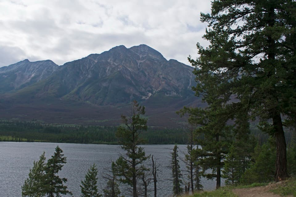 ModerateOverlook Loop5.8 km · 1.5 hr · 6.4 km awayClimb to Pyramid Bench for lake, valley, and red-chair views
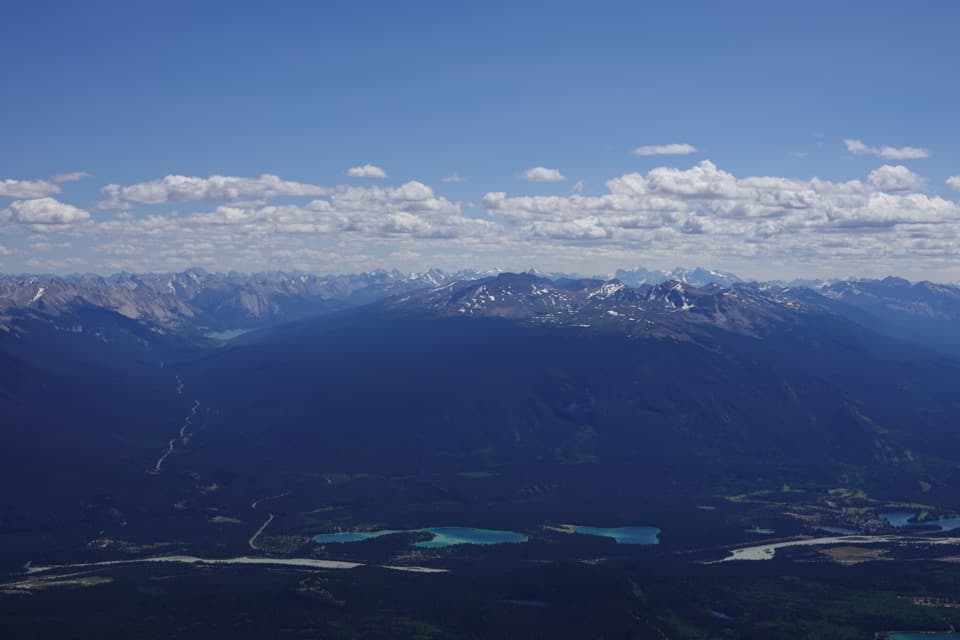 ChallengingPyramid Mountain Trail28.2 km · 12 hr · 6.4 km awayA long fire-road approach ends in a bouldery summit scramble.
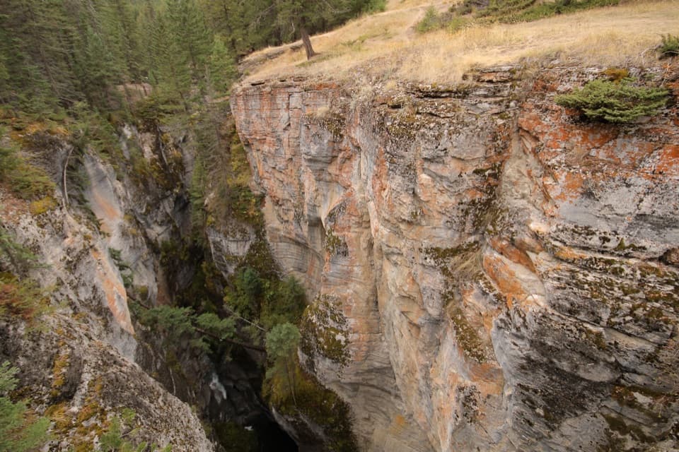 Sight · 0.1 km awayMaligne CanyonFour bridges look into a limestone gorge over 50 metres deep.
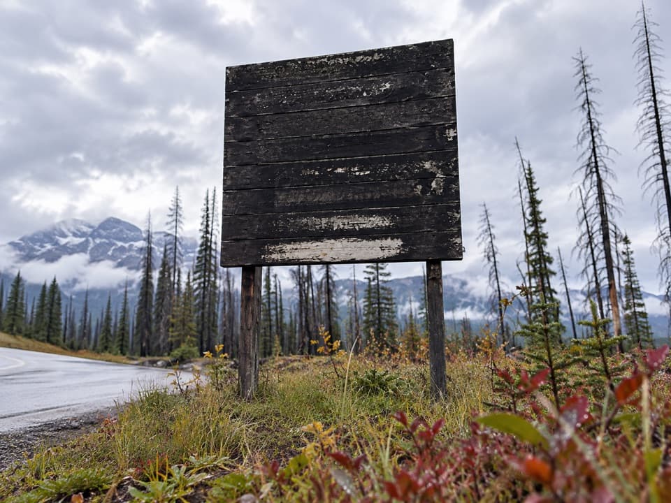 Scenic pullout · 0.4 km awayMaligne LookoutEasy valley views with Jasper's 2024 wildfire scars still in frame.
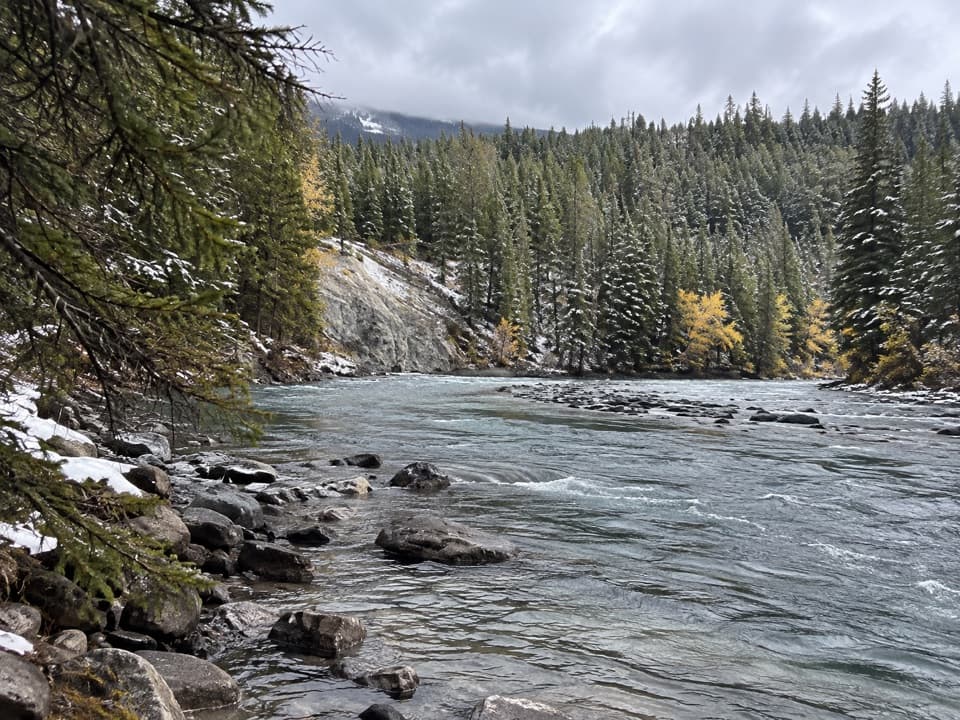 Picnic area · 1.2 km awayFifth Bridge Picnic AreaThe river's calmer here, with a bridge right by the picnic area.
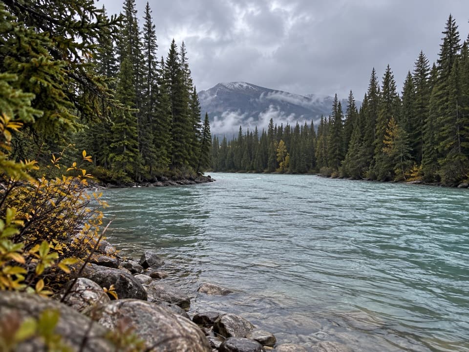 Picnic area · 2.5 km awaySixth Bridge Picnic AreaA quieter picnic pause at a bridge in the lower canyon.
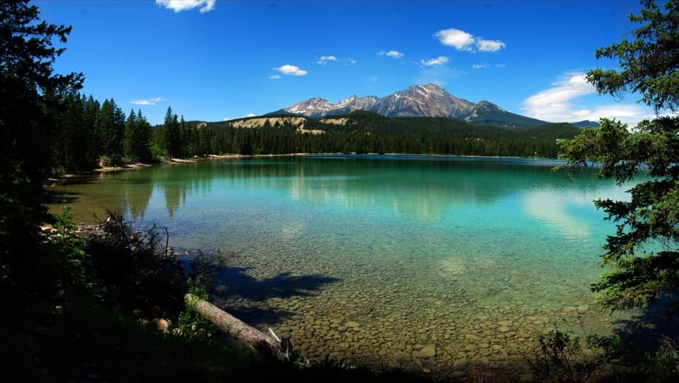 Beach · 3.5 km awayLake EdithA quieter swim stop with turquoise water and a public dock.
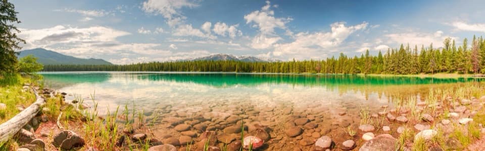 Beach · 3.7 km awayLake AnnetteA swim, picnic or paved loop with mountain views.
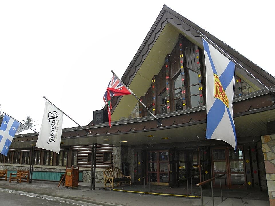 Lodging · 5.5 km awayFairmont Jasper Park LodgeA lakeside resort with timber cabins and a century-old story.
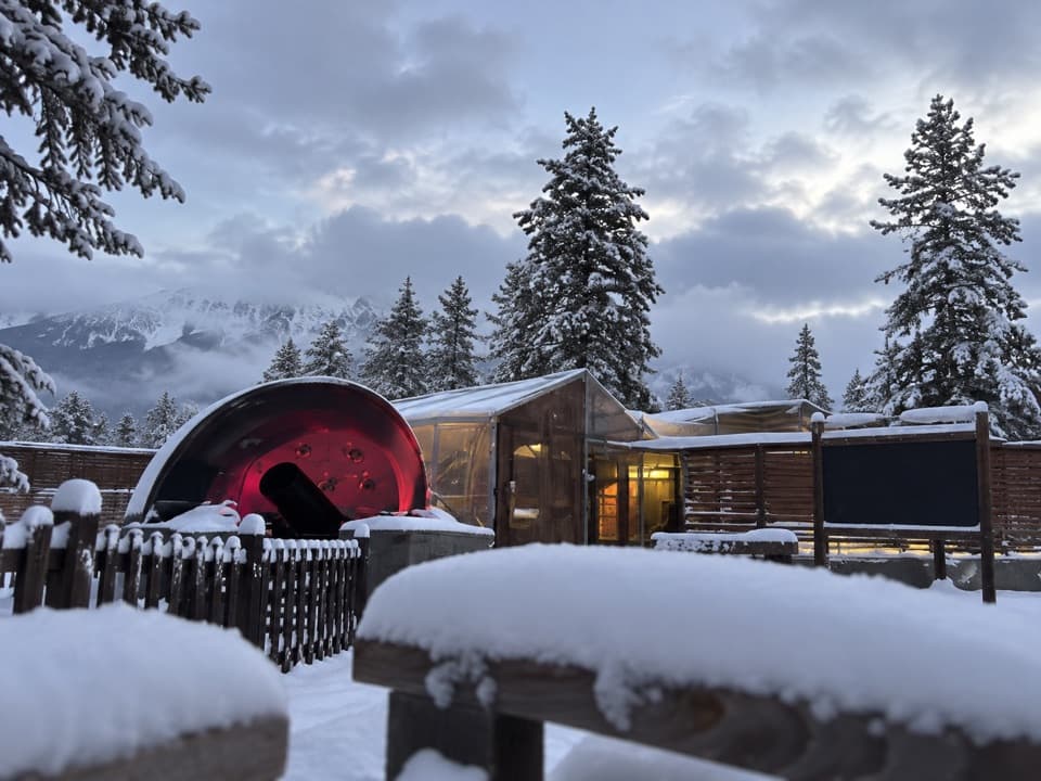 Sight · 5.5 km awayJasper PlanetariumA dome show and telescope tour under a truly dark night sky.
Parkwolf’s Jasper ranking

The audio tour guide for the drive, plus offline maps, trails, and wildlife heatmaps for when the signal drops.





