Parking
No Mary-specific lot is documented. The park identifies Boy Scout, Covington Flats, and Juniper Flats as the closest backcountry trailheads for the Quail Wash zone; the connection from those access points to this segment is not established.

Joshua Tree National Park, CA
A backcountry link between Quail Wash and Samuelson West.
Overview
Map & elevation
Plan your hike

The highest, rockiest slopes around here are a summer buffet for grizzly bears.
Joshua Tree Tour Guide
Parkwolf is a GPS audio tour guide for Joshua Tree National Park. As you drive, it chimes in with what’s ahead: hidden gems, upcoming stops, history, geology, and wildlife, right through your car’s speakers.
See the Joshua Tree audio tourRecorded for this area
Samuelson Rocks from Creosote Trail“You're nearing the Creosote Trail pullout, an access point for Samuelson Rocks.”
Plays on the road 1.4 mi from the trailhead in the Parkwolf Joshua Tree Tour Guide.
More stories near here in the app
“Fantastic app with many points of information… It’s great to just turn on while you’re driving and it gives you an audio tour of the national Park. We love it!!!!”


Trail guide
Mary Trail is a 2.2-mile, one-way point-to-point path from the Samuelson West junction to Quail Wash. Allow about 1.5 hours for this segment; the mapped direction loses roughly 400 feet. It is a connector, not a loop. Turn around for about 4.4 miles on the same path, or continue through the surrounding trail network. A 5.2-mile out-and-back is also listed via Quail Wash, but its route was not available to verify; this page maps the named Mary segment.
The mapped line begins where Mary meets Samuelson West and ends where it joins Quail Wash. Neither junction is a confirmed Mary parking area. The park identifies Boy Scout, Covington Flats, and Juniper Flats as the closest backcountry trailheads for entering or leaving the zone, but the exact approach from those lots to this segment is not established. Day hikers may pass through a backcountry zone without an overnight permit; overnight camping requires one.
The elevation profile falls from roughly 3,790 feet at the Samuelson West end to about 3,390 feet at Quail Wash. The wider zone has open valleys and rocky canyons, but no reliable source describes Mary’s footing, shade, signs, or a particular viewpoint. The park’s Quail Wash page does not list Mary among its named trails, so maintenance and signage are unconfirmed. Use it as a mapped link only when your larger route already accounts for access at both ends.
Carry all your water; natural sources are rare in the park’s backcountry. Pets are not allowed on park trails except the paved Oasis of Mara and Keys View trails, so they cannot accompany you here.
Wildlife
 129 sightingsBighorn SheepMost seen around 6 PMSighting map
 15 sightingsGolden EagleMost seen around 10 AMSighting map
 413 sightingsDesert TortoiseMost seen around 8 AMSighting map
 275 sightingsCoyoteMost seen around 6 AMSighting map
 47 sightingsBobcatMost seen around 6 PMSighting map
 32 sightingsMule DeerMost seen around 6 AMSighting map
Sighting maps show where each species has been reported across Joshua Tree. Wildlife moves, so no sighting is guaranteed.
Keep exploring
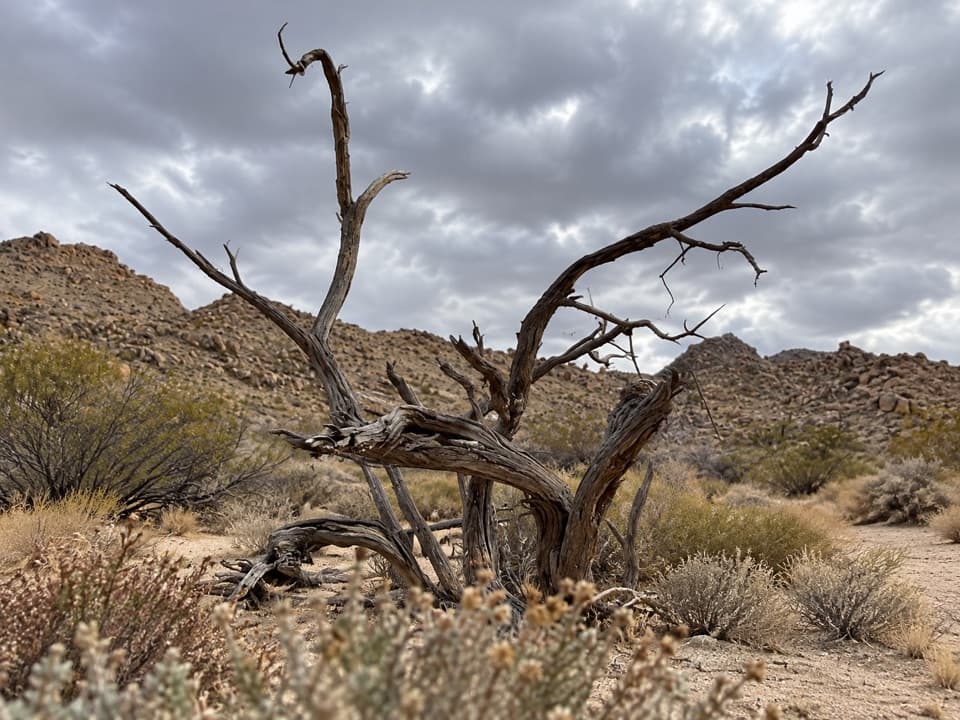 EasySamuelson West Trail1.1 mi · 30 min · 0.4 mi awayA 1.1-mile backcountry link with a Mary Trail junction midway
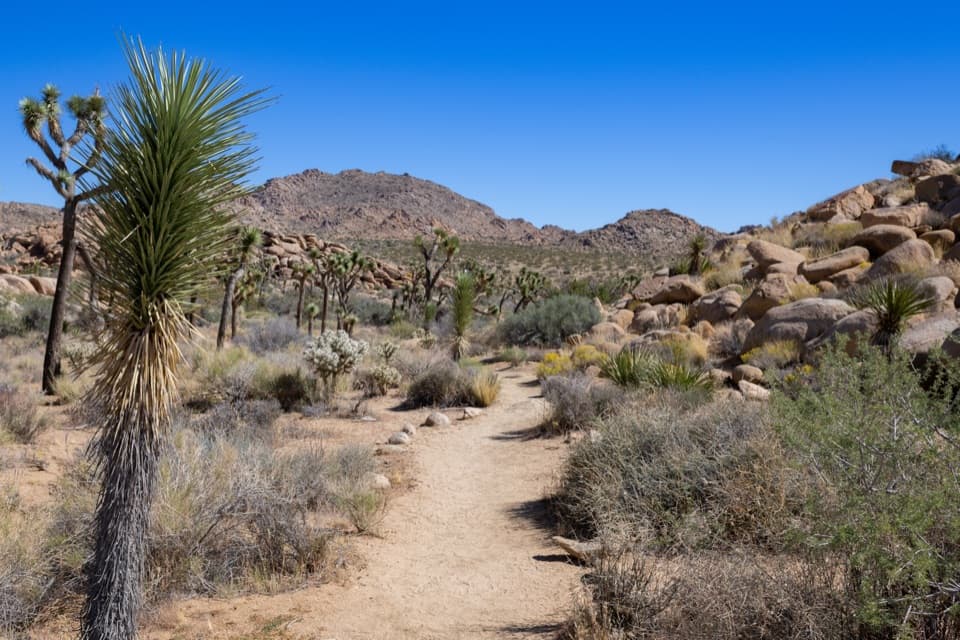 EasyCreosote Trail1.2 mi · 45 min · 1.4 mi awayA short, lightly signed walk among creosote and Joshua trees.
 ModerateSamuelson Rocks via Creosote and Bigfoot Trails4.8 mi · 2.5 hr · 1.4 mi awayFollow desert paths to a lonely mound of carved messages.
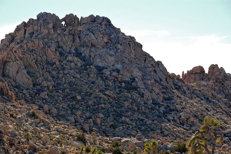 ModerateWindow Loop Trail5.5 mi · 3.5 hr · 1.8 mi awayA long Maze approach leads to Window Rock’s tiny opening.
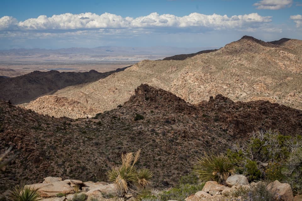 ModerateNorth View Trail5.6 mi · 3.5 hr · 1.8 mi awayWide Morongo Basin views reward a long, rocky out-and-back.
 ModerateMaze Loop Trail5 mi · 2.5 hr · 1.8 mi awayA five-mile boulder maze through sandy washes and Joshua trees.
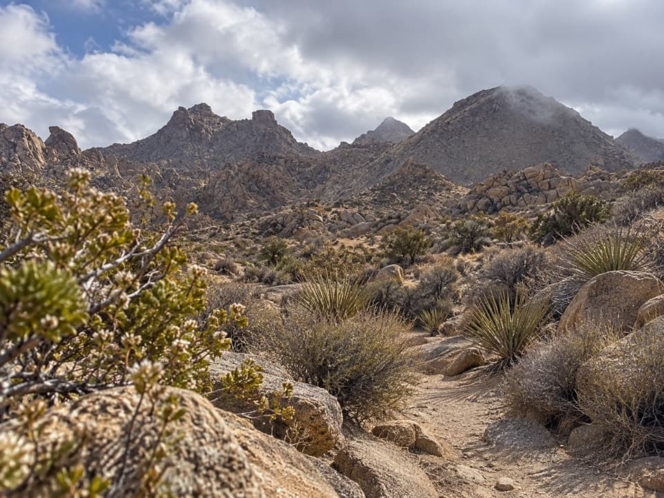 ModerateNorth Canyon Trail1.8 mi · 1 hr · 1.8 mi awayA one-way connector through the Maze’s washes and rocky ridges.
 ChallengingPanorama Trail3 mi · 2.5 hr · 1.9 mi awayA three-mile backcountry climb links Quail Wash and Bigfoot Trail.
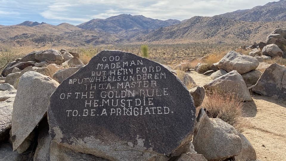 Sight · 0.8 mi awaySamuelson RocksCarved desert messages from a man whose story went missing.
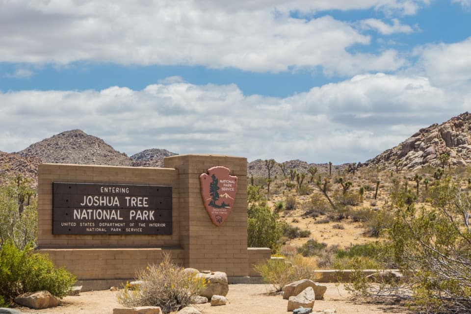 Entrance station · 2.7 mi awayWest Entrance and Welcome SignThe west-gate sign, water fill, and first stop on the park drive.
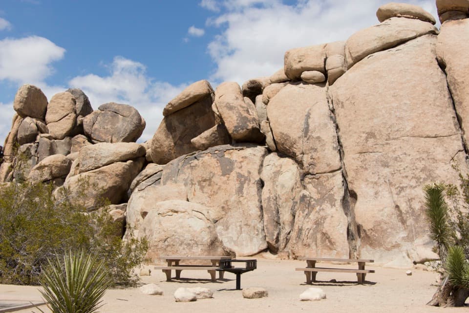 Picnic area · 3.3 mi awayQuail Springs Picnic AreaPicnic tables and grills tucked beneath Joshua Tree’s granite boulders.
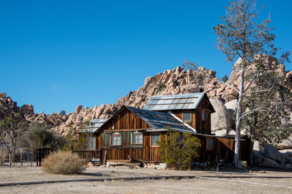 Sight · 4.7 mi awayKeys RanchA ranger-led walk among a family’s desert buildings and mining gear.
 Sight · 4.9 mi awayHemingway ButtressWalk among granite cracks that have drawn climbers since the 1940s.
 Sight · 5.6 mi awayNancy Karl Trail OverlookA sandy trail leads to a wayside view over the desert basin.
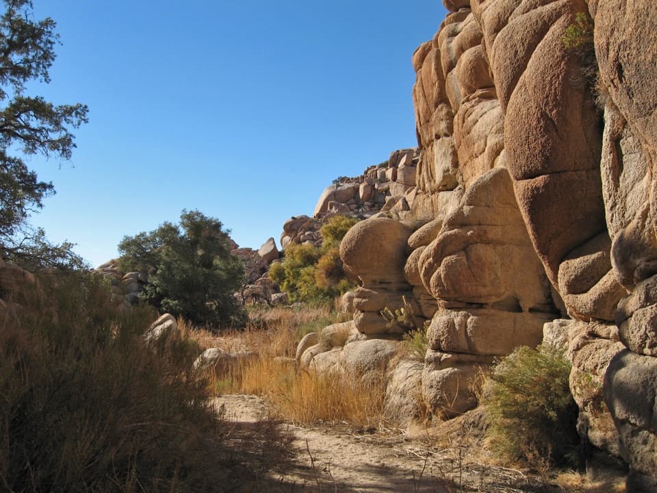 Sight · 5.7 mi awayWillow HoleA seasonal green pocket tucked into a granite maze
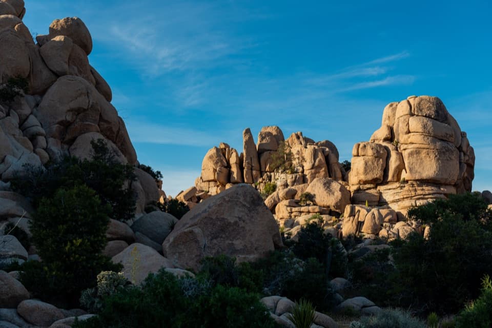 Picnic area · 5.7 mi awayHidden Valley Picnic AreaA rocky picnic spot that doubles as a designated stargazing stop.
Parkwolf’s Joshua Tree ranking

The audio tour guide for the drive, plus offline maps, trails, and wildlife heatmaps for when the signal drops.





