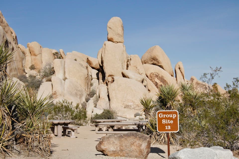
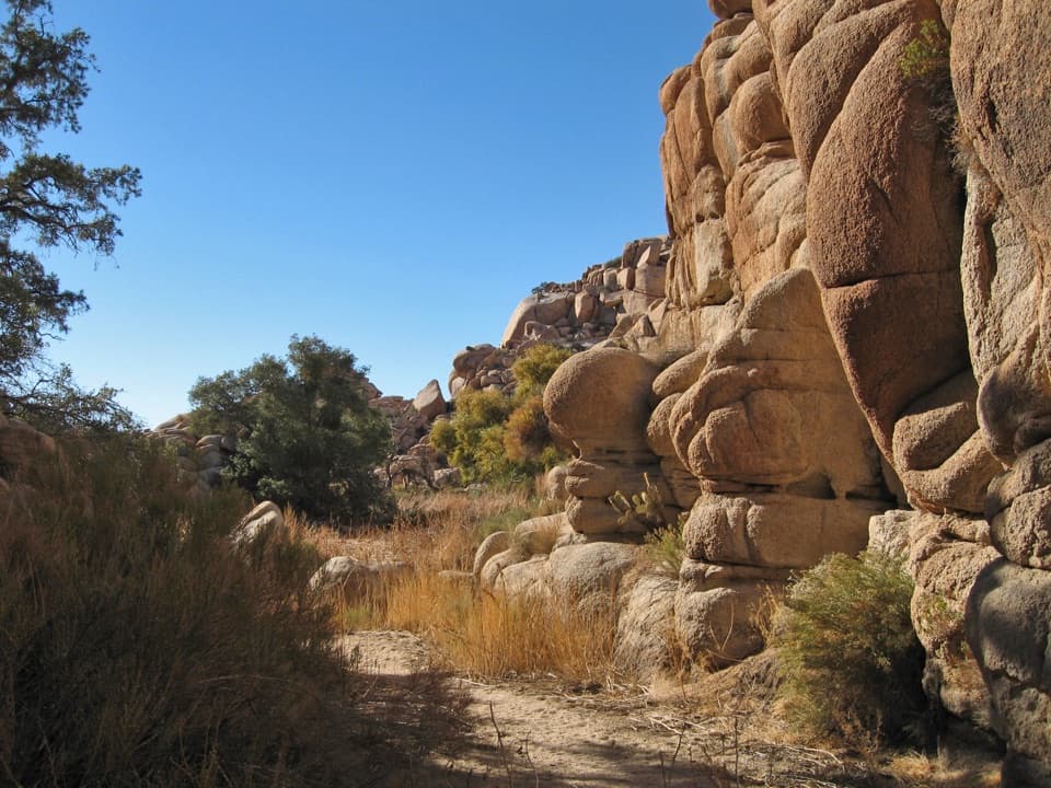
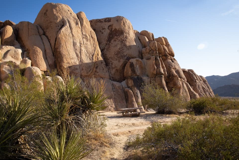
Creosote Trail in Joshua Tree National Park

Joshua Tree National Park, CA

Creosote Trail

A short, lightly signed walk among creosote and Joshua trees.

Photo: Wikimedia Commons
Length
1.2mi
Time
45min
Elevation
Flat
Difficulty
Easy
  • No dogs
  • High point 4,058 ft

Hear the audio tour

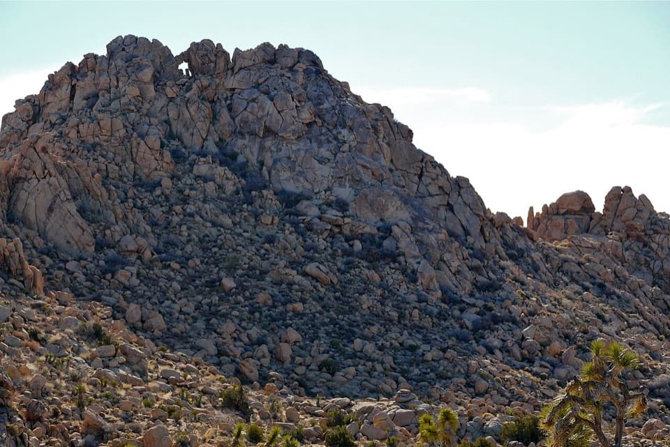
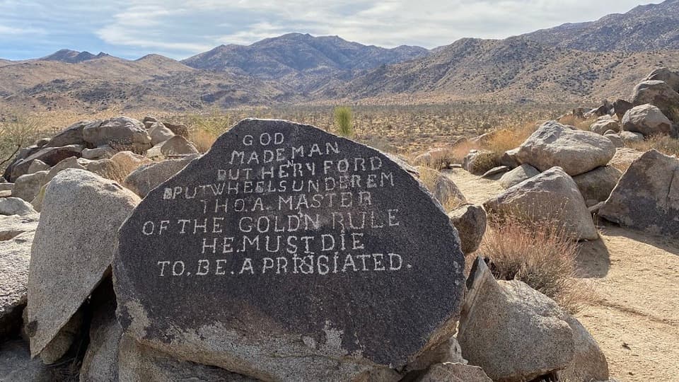
Samuelson Rocks from Creosote Trail

Overview

About Creosote Trail

Why go

  • Almost level and short, with a quick look at Joshua Tree desert terrain.
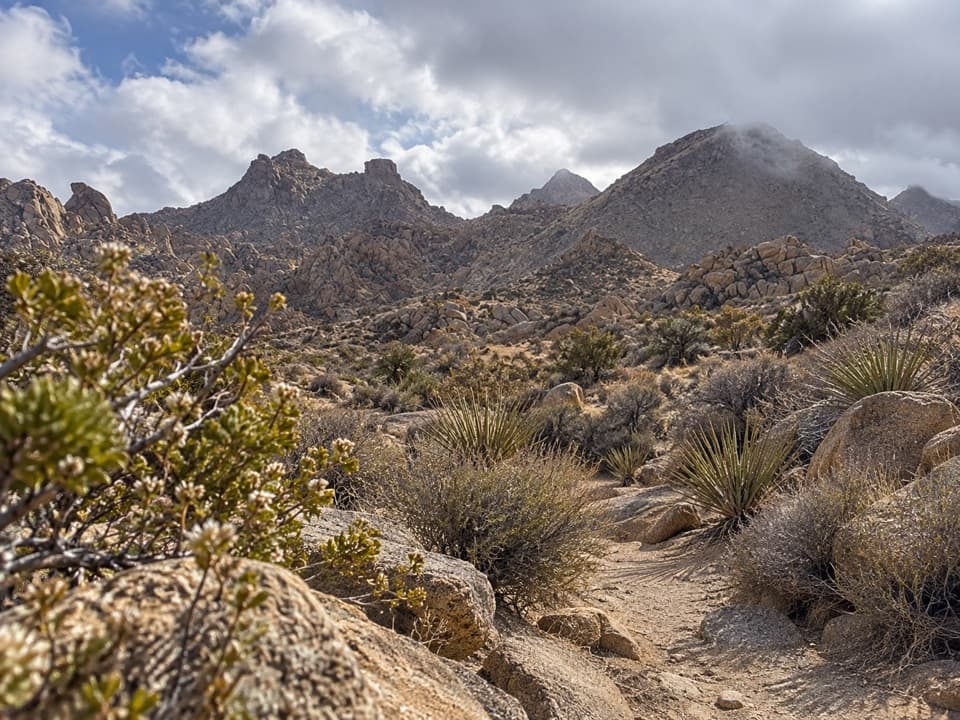
  • The path passes creosote, Joshua trees, and rounded granite boulders.

Heads up

  • The small marker and first fork make the start easy to miss.
  • Distance references disagree, and longer routes branch off at the turnaround.

Map & elevation

The route

Loading the Joshua Tree map
Full map
Elevation4,026–4,058 ft
TrailheadCreosote Trail turnout on Park Boulevard34.07283, -116.23735
Keep this map with you offline in the Parkwolf app

Plan your hike

Before you go

Parking

Use the roadside turnout on Park Boulevard just inside the West Entrance, near the "Exhibit Ahead" sign. A visitor describes it as the first parking area after the entrance when driving in. The turnout capacity and facilities were not verified.

Safety

The open desert path offers little shade. Carry water; the park recommends starting short summer walks before 9 a.m. and avoiding 10 a.m. to 5 p.m. Pets are prohibited on park trails except the paved Oasis of Mara Trail.

5 active Joshua Tree alerts

  • ClosureOasis of Mara Trail closed past the OasisMentions Oasis of Mara Trail, referenced in this guideThe Oasis of Mara Trail is closed past the Oasis due to a heavy flooding event; do not continue beyond the Oasis. Check current park conditions before visiting.Official details
  • ClosureSR 62 and US 95 closed by floodingFlooding has closed portions of SR 62 and US 95; avoid the closed segments.Official details
See all 5 alerts
A park ranger sits on a dash-mounted phone, talking, as Parkwolf’s Tour Guide plays “Army Cutworm Moths: A Grizzly Bear Buffet” on Grand Loop Road below Dunraven Pass in Yellowstone
Parkwolf Tour GuideThe highest, rockiest slopes around here are a summer buffet for grizzly bears.

Joshua Tree Tour Guide

Your drive to Creosote Trail, narrated.

Parkwolf is a GPS audio tour guide for Joshua Tree National Park. As you drive, it chimes in with what’s ahead: hidden gems, upcoming stops, history, geology, and wildlife, right through your car’s speakers.

See the Joshua Tree audio tour

Recorded for this trailhead

Samuelson Rocks from Creosote Trail
0:00 / 0:25
“You're nearing the Creosote Trail pullout, an access point for Samuelson Rocks.”

Plays as you drive up to this trailhead in the Parkwolf Joshua Tree Tour Guide.

More stories near here in the app

  • Maze Loop Through the Boulder Country
  • The Life Between the Plants
  • The Bird That Plants Mistletoe
  • Quail Springs for a Picnic or Stars
  • 89 audio storiesacross Joshua Tree’s roads, triggered by GPS as you drive
  • Wildlife heatmapsfor Bighorn Sheep, Golden Eagle, Desert Tortoise, and 13 more
  • Works offlinemaps, 60 trails, 64 places, and audio download before you lose signal
  • CarPlay readysimple controls built for the drive
★★★★★
“Fantastic app with many points of information… It’s great to just turn on while you’re driving and it gives you an audio tour of the national Park. We love it!!!!”
JMJamesApp Store review
Download Parkwolf on the App StoreGet Parkwolf on Google Play

4.7 from 8,600+ ratings

Trail guide

Hiking Creosote Trail

The short versionCreosote Trail is a lightly signed, nearly level, 1.

Creosote Trail is a lightly signed, nearly level, 1.2-mile out-and-back on an unpaved desert path just inside Joshua Tree's West Entrance. The named corridor measures about 0.62 mile each way, so allow 30 to 45 minutes to walk it and look around. Published distances disagree: a visitor reported a 0.5-mile sign but could not tell whether it meant one way, while another listing gives 0.9 mile round trip. This route stops at the junction at the end of the Creosote segment; longer trails continue beyond it.

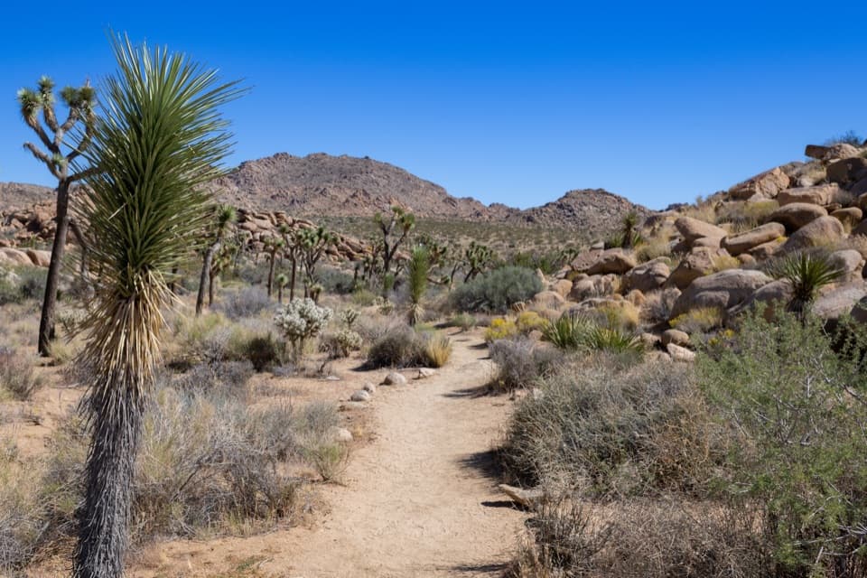
Find and follow the spurUse the roadside turnout on Park Boulevard just inside the West Entrance, near an "Exhibit…

Use the roadside turnout on Park Boulevard just inside the West Entrance, near an "Exhibit Ahead" sign. The Creosote Trail marker is small, and the first fork can be hard to read; bear left to stay on this short spur. Continue to the larger junction and turn back there. Going on from that fork adds a different, longer hike. Check the route marker before starting because the sign's reported mileage and the mapped corridor do not match exactly.

Desert tread and viewsThe unpaved path is almost flat.

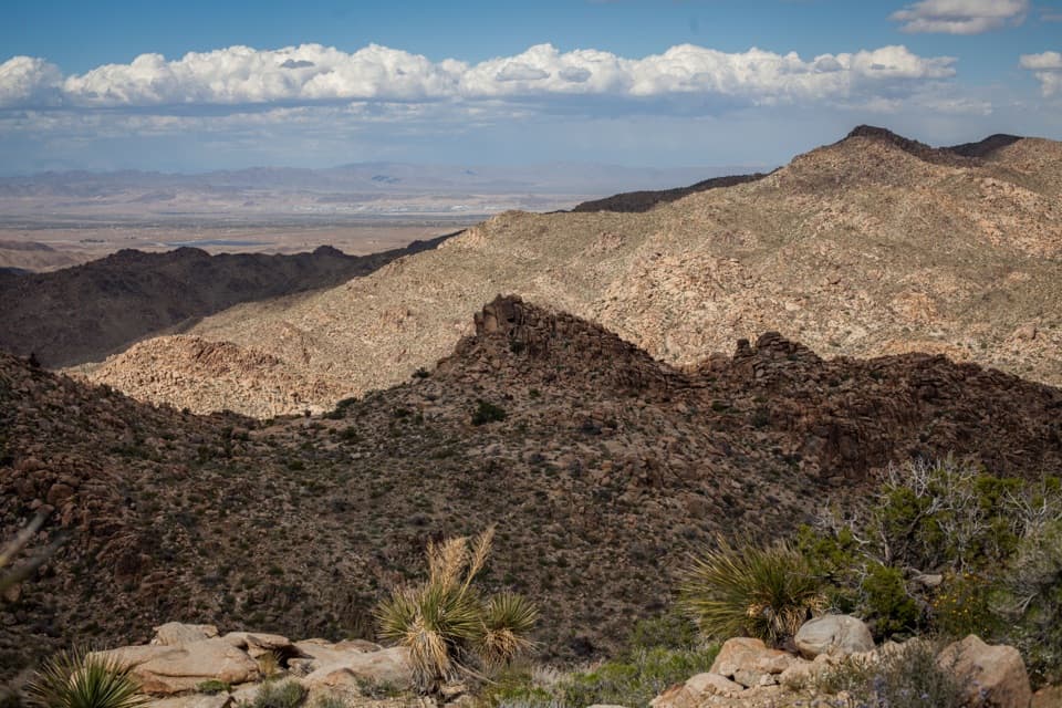
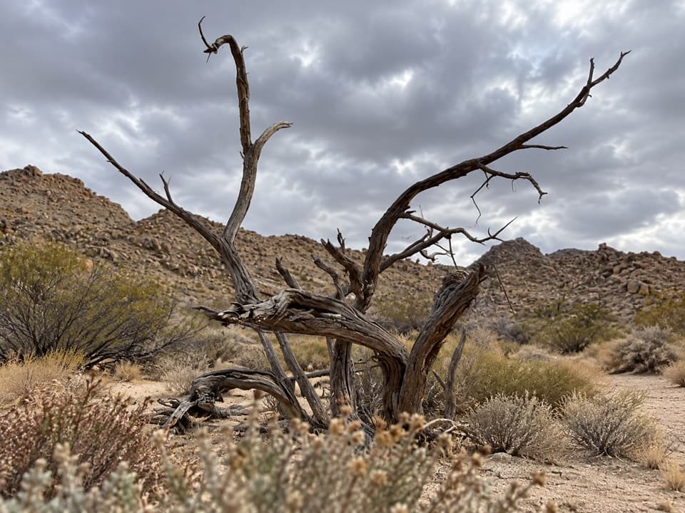
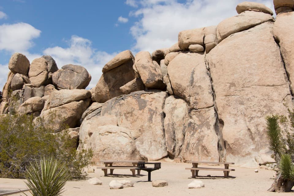
The unpaved path is almost flat. It crosses open ground among creosote shrubs, Joshua trees, low desert plants, and scattered granite boulders. Near the far junction, a rocky valley opens toward the surrounding ridges. A visitor has also reported barrel cactus along the walk; plants are not guaranteed to be in flower or equally visible on every visit.

Summer planningThere is little shelter from the sun along this short desert route.

There is little shelter from the sun along this short desert route. Carry water even for the brief walk. The park recommends starting short walks before 9 a.m. in summer and avoiding the hottest part of the day. Pets are not allowed on park trails; the exception is the paved Oasis of Mara Trail, which is a different walk.

Wildlife

Wildlife in Joshua Tree

All Joshua Tree wildlife maps

Sighting maps show where each species has been reported across Joshua Tree. Wildlife moves, so no sighting is guaranteed.

Keep exploring

Near Creosote Trail

See it all on the map

Trails that start nearby

Places near the trailhead

Parkwolf’s Joshua Tree ranking

Top-rated trails in Joshua Tree

All 60 trails
  1. 1Hidden Valley Nature TrailEasy · 1 mi
  2. 2Barker Dam Nature TrailEasy · 1.3 mi
  3. 3Ryan Mountain TrailChallenging · 3 mi
  4. 4Fortynine Palms Oasis TrailChallenging · 3 mi
  5. 5Lost Palms Oasis TrailChallenging · 7.5 mi
  6. 6Arch Rock TrailEasy · 1.3 mi

Take Parkwolf to Joshua Tree.

The audio tour guide for the drive, plus offline maps, trails, and wildlife heatmaps for when the signal drops.

4.7 from 8,600+ ratings

Download Parkwolf on the App StoreGet Parkwolf on Google Play