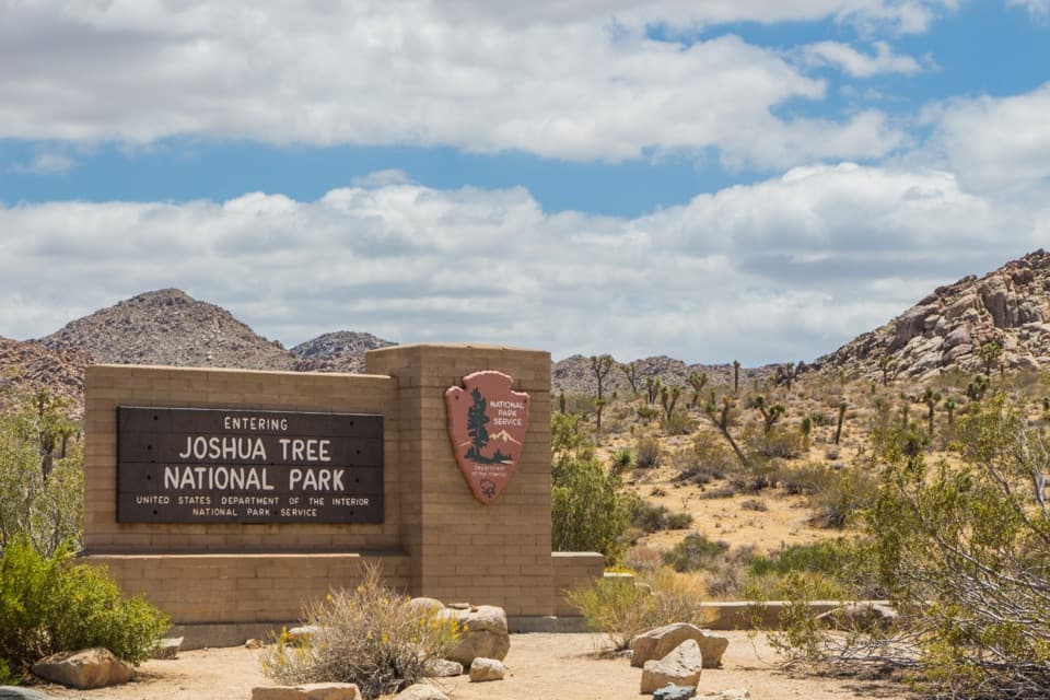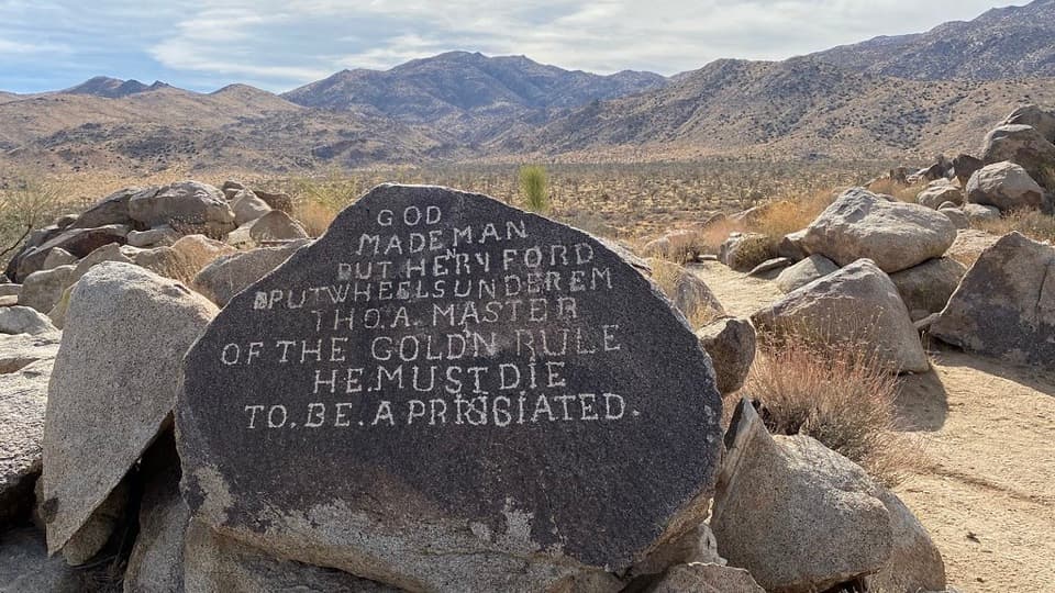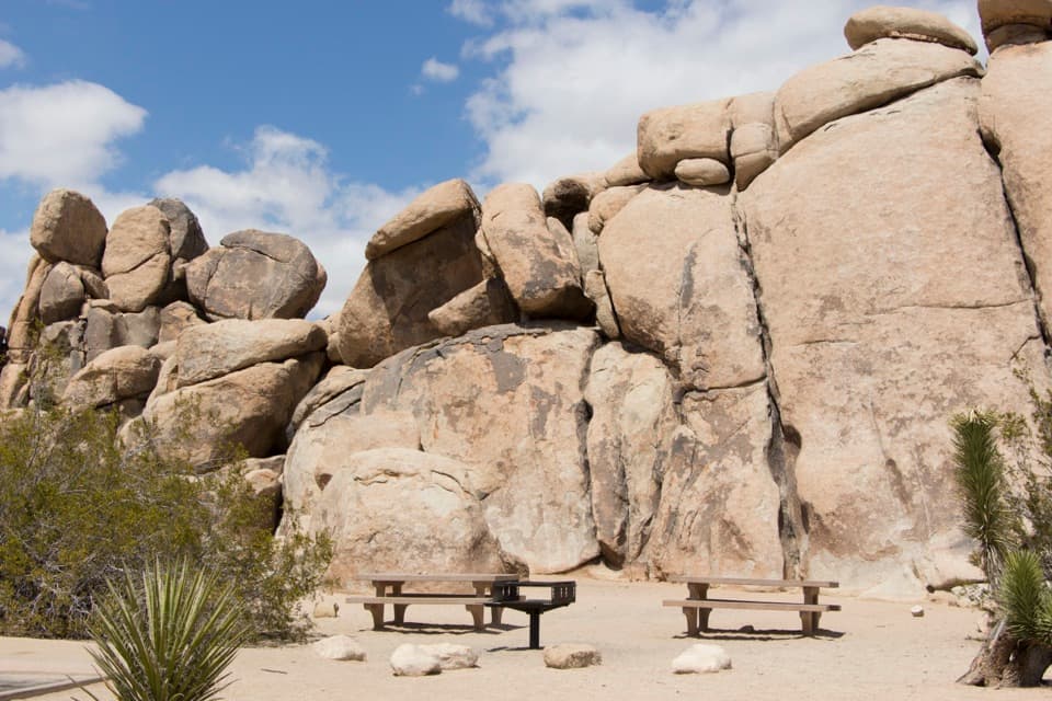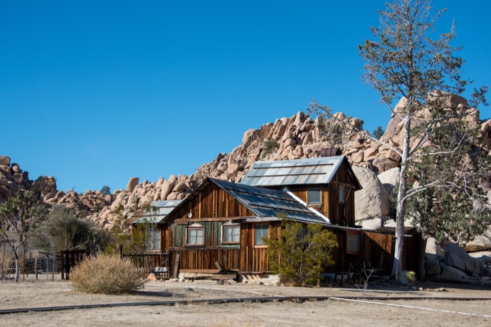
North Canyon Trail in Joshua Tree National Park

Joshua Tree National Park, CA

North Canyon Trail

A one-way connector through the Maze’s washes and rocky ridges.

Length
1.8mi
Time
1hr
Elev. change
322ft
Difficulty
Moderate
  • No dogs
  • High point 3,963 ft

Hear the audio tour

Maze Loop Through the Boulder Country

Overview

About North Canyon Trail

Why go

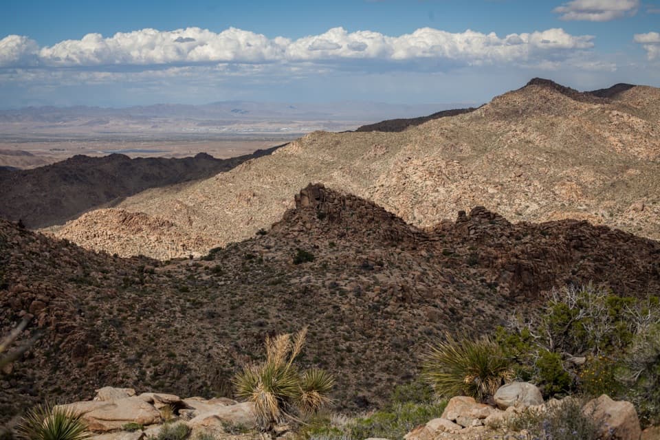
  • Open desert views across sandy washes and rocky ridges.

Heads up

  • This interior backcountry segment needs an approach and a planned exit.

Map & elevation

The route

Loading the Joshua Tree map
Full map
Elevation3,642–3,963 ft
TrailheadMaze Loop Trail junction at North Canyon Trail34.08144, -116.24106
Keep this map with you offline in the Parkwolf app

Plan your hike

Before you go

Parking

No dedicated parking was verified at the Maze Loop junction. Boy Scout and Indian Cove are the nearest named backcountry trailheads for entering or leaving the Maze Zone; add an approach through the trail network. A direct connector or parking at the nearby Park Boulevard edge was not confirmed.

Safety

Remote backcountry connector with uneven sandy and rocky footing; plan the approach and exit through the wider trail network. Dogs are prohibited on park trails and in the backcountry. An overnight stay requires a backcountry permit.

5 active Joshua Tree alerts

  • ClosureOasis of Mara Trail closed past the OasisThe Oasis of Mara Trail is closed past the Oasis due to a heavy flooding event; do not continue beyond the Oasis. Check current park conditions before visiting.Official details
  • ClosureSR 62 and US 95 closed by floodingFlooding has closed portions of SR 62 and US 95; avoid the closed segments.Official details
See all 5 alerts
A park ranger sits on a dash-mounted phone, talking, as Parkwolf’s Tour Guide plays “Army Cutworm Moths: A Grizzly Bear Buffet” on Grand Loop Road below Dunraven Pass in Yellowstone
Parkwolf Tour GuideThe highest, rockiest slopes around here are a summer buffet for grizzly bears.

Joshua Tree Tour Guide

Your drive to North Canyon Trail, narrated.

Parkwolf is a GPS audio tour guide for Joshua Tree National Park. As you drive, it chimes in with what’s ahead: hidden gems, upcoming stops, history, geology, and wildlife, right through your car’s speakers.

See the Joshua Tree audio tour

Recorded for this area

Maze Loop Through the Boulder Country
0:00 / 0:23
“Maze Loop trailhead is coming up, a good choice if you want a longer walk among boulder passages and Joshua trees. The five-mile circuit takes two to three hours, with sandy washes and a few short, steep sections.”

Plays on the road 0.1 mi from the trailhead in the Parkwolf Joshua Tree Tour Guide.

More stories near here in the app

  • Samuelson Rocks from Creosote Trail
  • The Bird That Plants Mistletoe
  • The Life Between the Plants
  • The Roadrunner's Morning Warm-Up
  • 89 audio storiesacross Joshua Tree’s roads, triggered by GPS as you drive
  • Wildlife heatmapsfor Bighorn Sheep, Golden Eagle, Desert Tortoise, and 13 more
  • Works offlinemaps, 60 trails, 64 places, and audio download before you lose signal
  • CarPlay readysimple controls built for the drive
★★★★★
“Fantastic app with many points of information… It’s great to just turn on while you’re driving and it gives you an audio tour of the national Park. We love it!!!!”
JMJamesApp Store review
Download Parkwolf on the App StoreGet Parkwolf on Google Play

4.7 from 8,600+ ratings

Trail guide

Hiking North Canyon Trail

What this trail isNorth Canyon Trail is a 1.

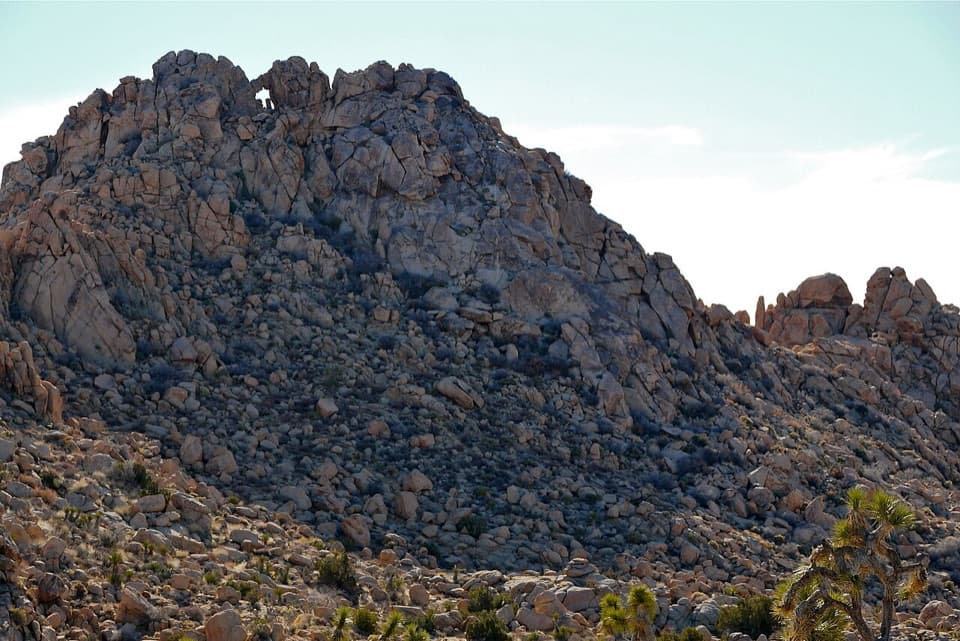
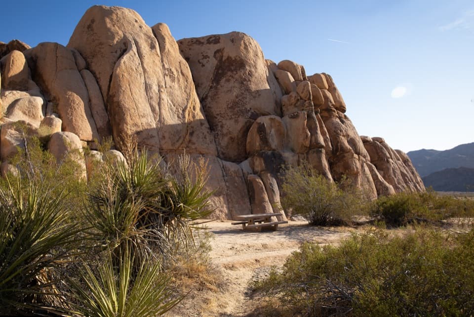
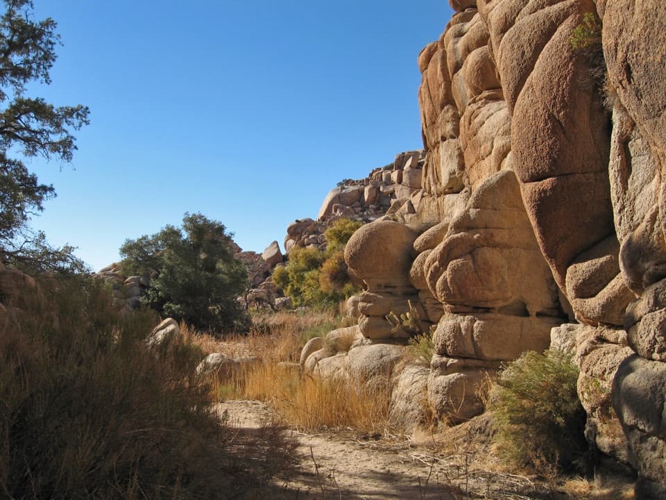
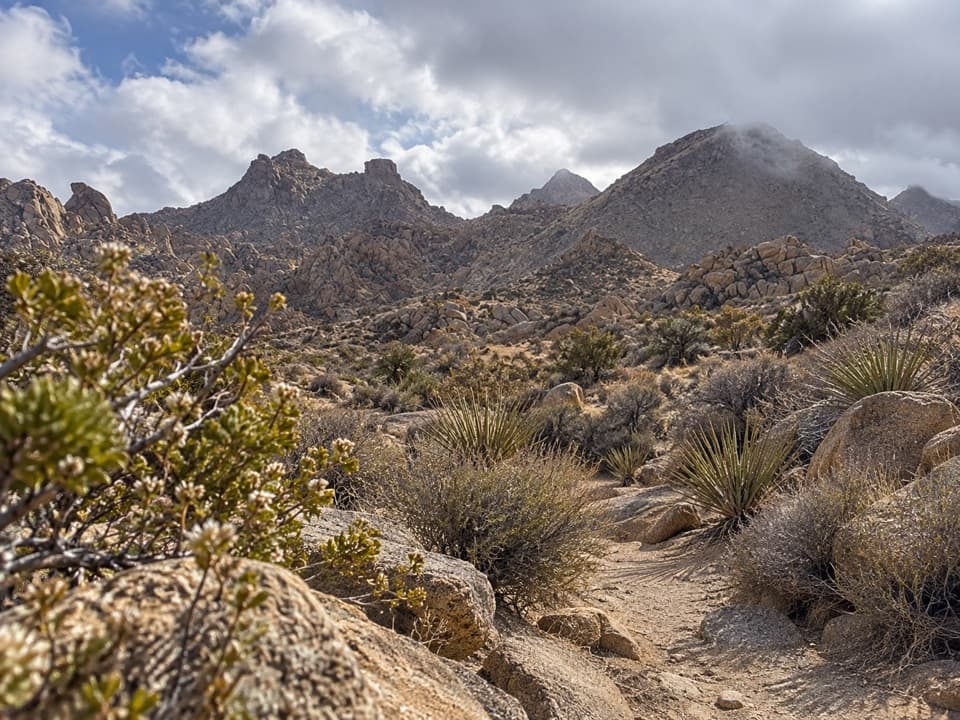
North Canyon Trail is a 1.8-mile one-way connector through the Maze Zone, from its junction with Maze Loop Trail to the North Side Trail. The area's sandy washes and rocky ridges open onto broad desert views. The published park figure is 1.6 miles one way; the mapped line measures 1.82 miles, so plan around 1.8 miles for the segment shown here. A longer 4.1-4.2-mile North Canyon Loop is described using additional paths; that full circuit is not mapped in this record.

Plan the approachBoth ends are trail junctions inside the backcountry, not road-side trailheads.

Both ends are trail junctions inside the backcountry, not road-side trailheads. The nearest backcountry entry and exit trailheads named for the Maze Zone are Boy Scout and Indian Cove, so add an approach through the surrounding network and plan your exit. Retracing the mapped segment makes about 3.6 miles before that approach. Allow about an hour for the segment one way. Parking or a direct connector from Park Boulevard to the Maze Loop junction was not confirmed.
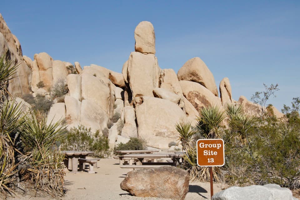
Terrain and rulesExpect uneven sandy washes and rocky ridges rather than a constructed loop.

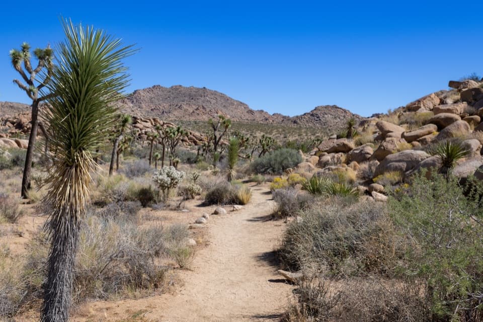
Expect uneven sandy washes and rocky ridges rather than a constructed loop. The sampled elevation profile runs from about 3,640 to 3,965 feet, with several rises and drops. No route-specific water, toilets or other facilities were identified. Dogs are prohibited on park trails and in the backcountry. Day hikes do not need a permit; overnight backcountry stays do.

Wildlife

Wildlife in Joshua Tree

All Joshua Tree wildlife maps

Sighting maps show where each species has been reported across Joshua Tree. Wildlife moves, so no sighting is guaranteed.

Keep exploring

Near North Canyon Trail

See it all on the map

Trails that start nearby

Places near the trailhead

Parkwolf’s Joshua Tree ranking

Top-rated trails in Joshua Tree

All 60 trails
  1. 1Hidden Valley Nature TrailEasy · 1 mi
  2. 2Barker Dam Nature TrailEasy · 1.3 mi
  3. 3Ryan Mountain TrailChallenging · 3 mi
  4. 4Fortynine Palms Oasis TrailChallenging · 3 mi
  5. 5Lost Palms Oasis TrailChallenging · 7.5 mi
  6. 6Arch Rock TrailEasy · 1.3 mi

Take Parkwolf to Joshua Tree.

The audio tour guide for the drive, plus offline maps, trails, and wildlife heatmaps for when the signal drops.

4.7 from 8,600+ ratings

Download Parkwolf on the App StoreGet Parkwolf on Google Play