Parking
Start at Maze Loop Trailhead off Park Boulevard.

Joshua Tree National Park, CA
A five-mile boulder maze through sandy washes and Joshua trees.
Overview
Map & elevation
Plan your hike

The highest, rockiest slopes around here are a summer buffet for grizzly bears.
Joshua Tree Tour Guide
Parkwolf is a GPS audio tour guide for Joshua Tree National Park. As you drive, it chimes in with what’s ahead: hidden gems, upcoming stops, history, geology, and wildlife, right through your car’s speakers.
See the Joshua Tree audio tourRecorded for this trailhead
Maze Loop Through the Boulder Country“Maze Loop trailhead is coming up, a good choice if you want a longer walk among boulder passages and Joshua trees. The five-mile circuit takes two to three hours, with sandy washes and a few short, steep sections.”
Plays as you drive up to this trailhead in the Parkwolf Joshua Tree Tour Guide.
More stories near here in the app
“Fantastic app with many points of information… It’s great to just turn on while you’re driving and it gives you an audio tour of the national Park. We love it!!!!”


Trail guide
Maze Loop is the official five-mile circuit from Maze Loop Trailhead, with about 400 feet of elevation gain and a typical two to three hours on foot. It runs through sandy washes, boulder piles and Joshua-tree woodland before returning to its starting access. Choose it for a longer walk through the park's granite maze. North View and Window Rock combinations add separate mileage and are not part of this loop.
Some stretches can be hard to tell apart from sandy washes and informal social paths. Watch for trail markers and keep the route map handy through wash crossings; the park notes short steep sections, too.
The walk begins in a sandy wash, then meanders among boulder piles and Joshua trees. The scene shifts from open wash to tighter passages between rock. For a worthwhile photo, include a stretch of trail between the boulders so the picture shows both their scale and the walking line.
Ravens and hawks may pass overhead, with cottontail rabbits, lizards and the occasional desert tortoise closer to the ground. These are possible sightings, not a promise.
There is little shade, making this a poor choice in summer heat. Bring the food, water and sun protection you'll need before leaving the trailhead; no trail-side supply is listed. Pets are not permitted on park hiking trails.
Wildlife
 129 sightingsBighorn SheepMost seen around 6 PMSighting map
 15 sightingsGolden EagleMost seen around 10 AMSighting map
 413 sightingsDesert TortoiseMost seen around 8 AMSighting map
 275 sightingsCoyoteMost seen around 6 AMSighting map
 47 sightingsBobcatMost seen around 6 PMSighting map
 32 sightingsMule DeerMost seen around 6 AMSighting map
Sighting maps show where each species has been reported across Joshua Tree. Wildlife moves, so no sighting is guaranteed.
Keep exploring
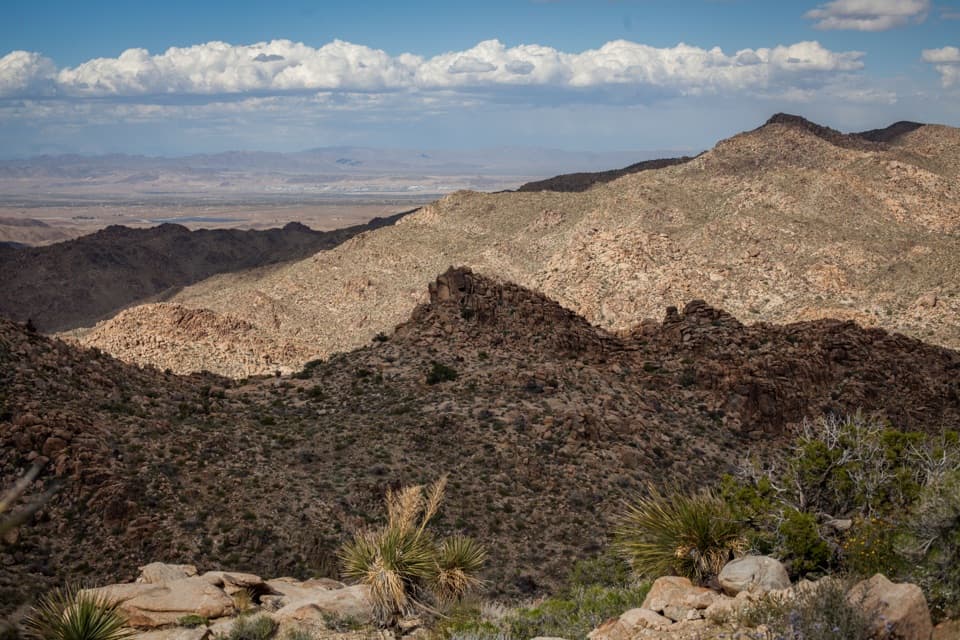 ModerateNorth View Trail5.6 mi · 3.5 hr · At the trailheadWide Morongo Basin views reward a long, rocky out-and-back.
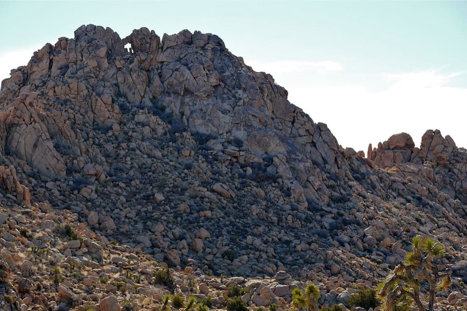 ModerateWindow Loop Trail5.5 mi · 3.5 hr · At the trailheadA long Maze approach leads to Window Rock’s tiny opening.
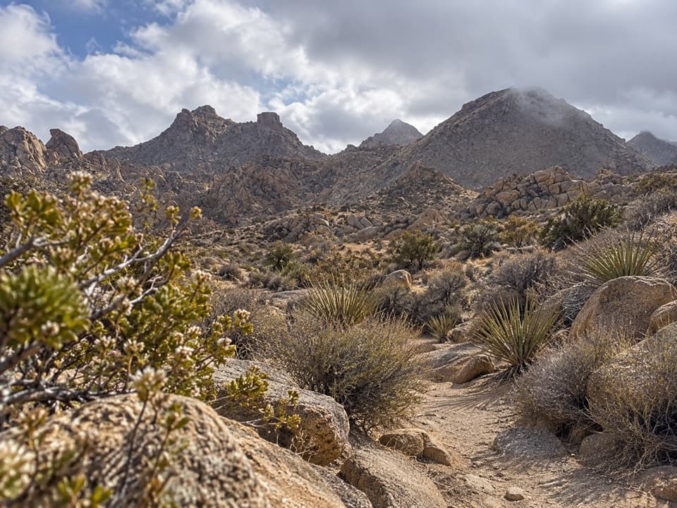 ModerateNorth Canyon Trail1.8 mi · 1 hr · 0.1 mi awayA one-way connector through the Maze’s washes and rocky ridges.
 ModerateSamuelson Rocks via Creosote and Bigfoot Trails4.8 mi · 2.5 hr · 0.6 mi awayFollow desert paths to a lonely mound of carved messages.
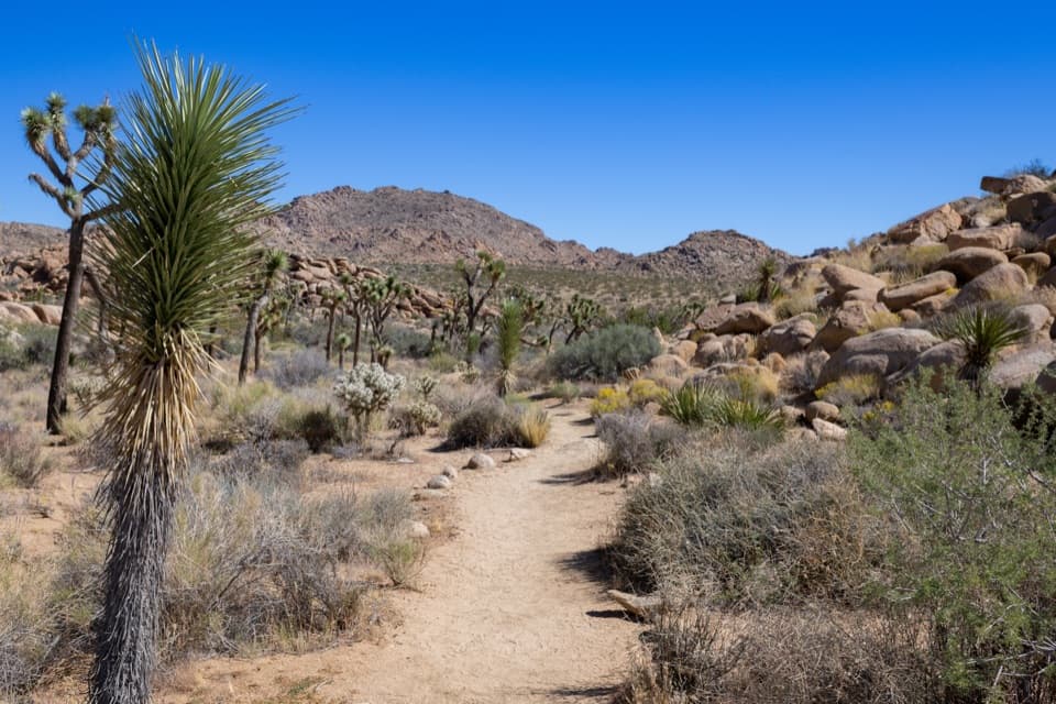 EasyCreosote Trail1.2 mi · 45 min · 0.6 mi awayA short, lightly signed walk among creosote and Joshua trees.
 ModerateBurro/Rocky View Loop4.5 mi · 2.8 hr · 1.3 mi awayA 4.5-mile loop through rocky hills, washes and wide desert views.
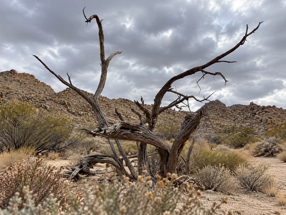 EasySamuelson West Trail1.1 mi · 30 min · 1.6 mi awayA 1.1-mile backcountry link with a Mary Trail junction midway
 ModerateMary Trail2.2 mi · 1.5 hr · 1.8 mi awayA backcountry link between Quail Wash and Samuelson West.
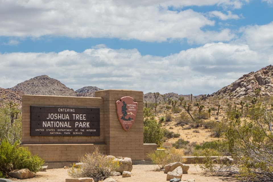 Entrance station · 1.6 mi awayWest Entrance and Welcome SignThe west-gate sign, water fill, and first stop on the park drive.
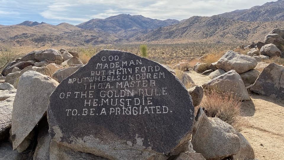 Sight · 2.3 mi awaySamuelson RocksCarved desert messages from a man whose story went missing.
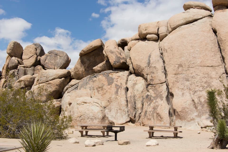 Picnic area · 3.8 mi awayQuail Springs Picnic AreaPicnic tables and grills tucked beneath Joshua Tree’s granite boulders.
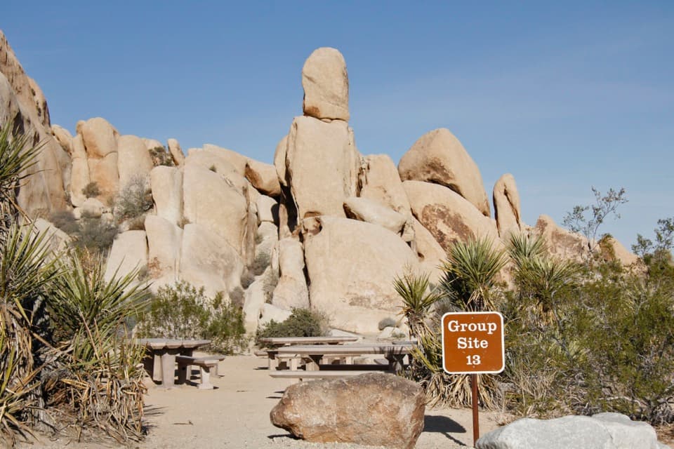 Campground · 4.8 mi awayIndian Cove CampgroundCamp among boulders with climbing and a half-mile nature loop nearby.
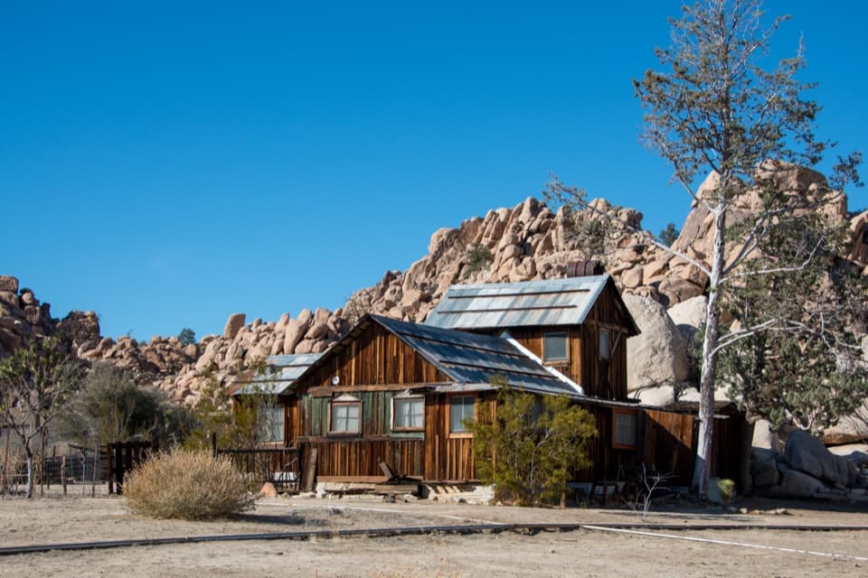 Sight · 4.8 mi awayKeys RanchA ranger-led walk among a family’s desert buildings and mining gear.
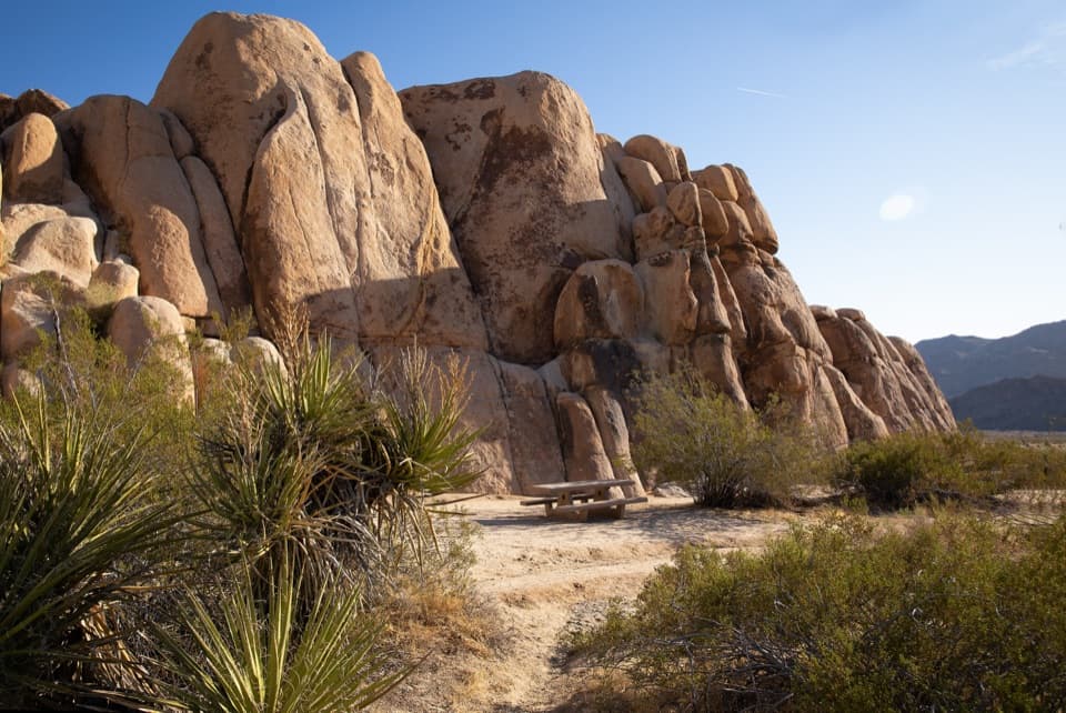 Picnic area · 5.1 mi awayRattlesnake Picnic AreaA quiet lunch stop beneath Indian Cove’s boulder walls.
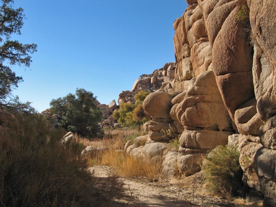 Sight · 5.2 mi awayWillow HoleA seasonal green pocket tucked into a granite maze
 Sight · 5.3 mi awayNancy Karl Trail OverlookA sandy trail leads to a wayside view over the desert basin.
Parkwolf’s Joshua Tree ranking

The audio tour guide for the drive, plus offline maps, trails, and wildlife heatmaps for when the signal drops.





