Parking
The North View Trailhead access is just inside the West Entrance, about 1.2 miles in and near mile marker 24. The small parking area has very limited spaces; do not count on roadside overflow.
Joshua Tree National Park, CA
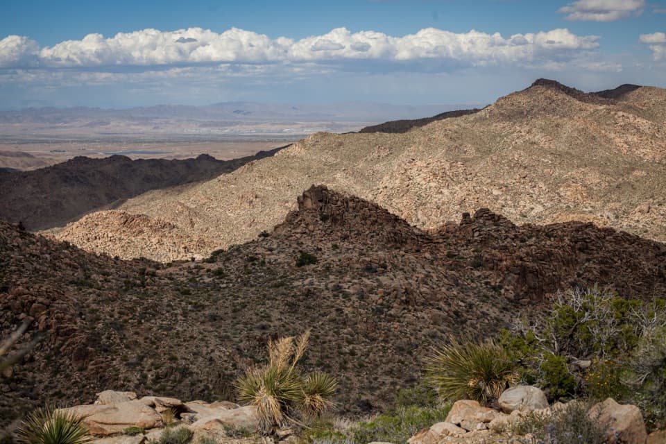
Wide Morongo Basin views reward a long, rocky out-and-back.
Overview
Map & elevation
Plan your hike

The highest, rockiest slopes around here are a summer buffet for grizzly bears.
Joshua Tree Tour Guide
Parkwolf is a GPS audio tour guide for Joshua Tree National Park. As you drive, it chimes in with what’s ahead: hidden gems, upcoming stops, history, geology, and wildlife, right through your car’s speakers.
See the Joshua Tree audio tourRecorded for this trailhead
Maze Loop Through the Boulder Country“Maze Loop trailhead is coming up, a good choice if you want a longer walk among boulder passages and Joshua trees. The five-mile circuit takes two to three hours, with sandy washes and a few short, steep sections.”
Plays as you drive up to this trailhead in the Parkwolf Joshua Tree Tour Guide.
More stories near here in the app
“Fantastic app with many points of information… It’s great to just turn on while you’re driving and it gives you an audio tour of the national Park. We love it!!!!”


Trail guide
North View Trail is a 5.6-mile out-and-back from North View Trailhead, crossing sandy washes and rocky ridges between large boulder fields. The posted figure is round trip and lists 836 feet of gain; allow about three to four hours with stops. The mapped path runs just under 3 miles one way, so a GPS reading close to 6 miles is plausible. This is a half-day choice for broad views over Joshua Tree and the Morongo Basin, not a quick viewpoint stop.
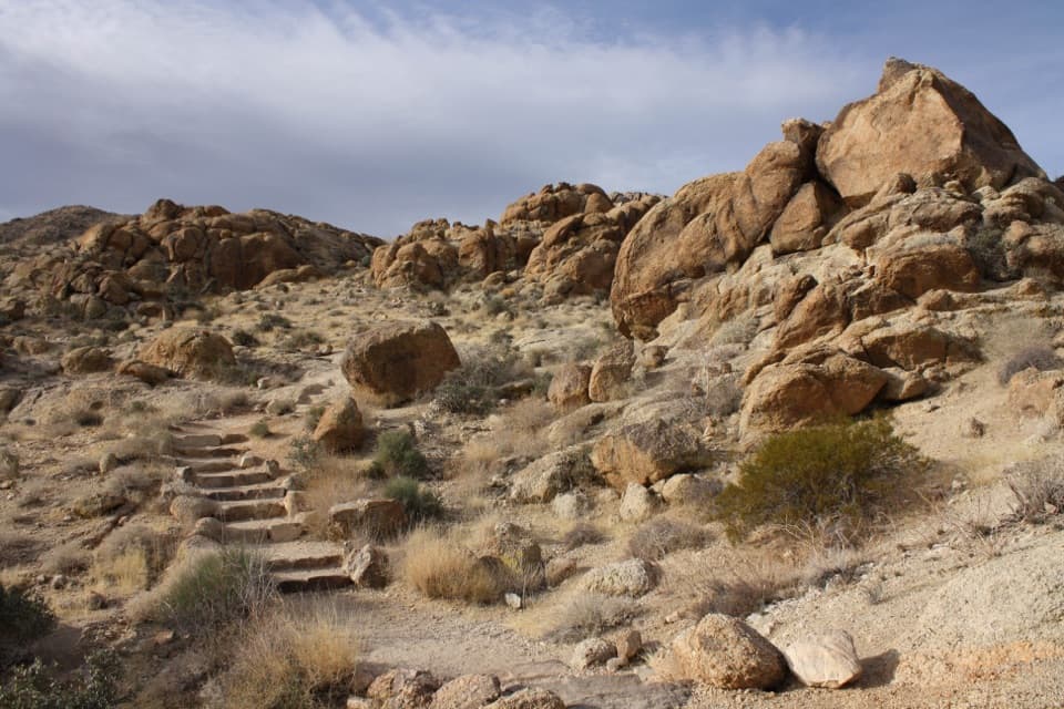
The trail begins through a wash, and the first turn can be easy to miss. Watch for the markers and keep a map handy, especially where the path crosses other trails. Stay on the North View path to its eastern junction, then retrace it to return. Two short spurs lead to viewpoints toward Copper Mountain and Western Hills. Connecting to Maze Loop or Window Loop makes a different hike; those routes are not part of this out-and-back.
The route alternates between sandy washes, boulder-strewn valleys and rocky ridges, with Joshua trees and desert shrubs scattered along the way. The broadest views open north across the Morongo Basin. The route's payoff is the change in scale: close boulders and rough ridges in front, then the basin and distant hills beyond. At the viewpoint spurs, include a boulder or yucca in the foreground to give the view depth.
Expect a few steep sections and repeated ups and downs over uneven sandy and rocky footing. Much of the route is exposed, with little shade. The trail is a better choice in cooler weather; do not plan to push through summer heat. Bring enough food, water and sun protection for the full walk. Pets are not allowed on park hiking trails.
Wildlife
 129 sightingsBighorn SheepMost seen around 6 PMSighting map
 15 sightingsGolden EagleMost seen around 10 AMSighting map
 413 sightingsDesert TortoiseMost seen around 8 AMSighting map
 275 sightingsCoyoteMost seen around 6 AMSighting map
 47 sightingsBobcatMost seen around 6 PMSighting map
 32 sightingsMule DeerMost seen around 6 AMSighting map
Sighting maps show where each species has been reported across Joshua Tree. Wildlife moves, so no sighting is guaranteed.
Keep exploring
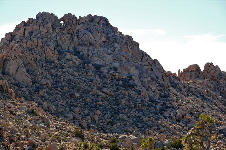 ModerateWindow Loop Trail5.5 mi · 3.5 hr · At the trailheadA long Maze approach leads to Window Rock’s tiny opening.
 ModerateMaze Loop Trail5 mi · 2.5 hr · At the trailheadA five-mile boulder maze through sandy washes and Joshua trees.
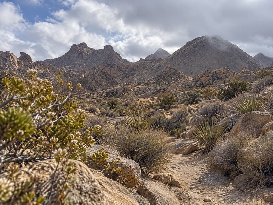 ModerateNorth Canyon Trail1.8 mi · 1 hr · 0.1 mi awayA one-way connector through the Maze’s washes and rocky ridges.
 ModerateSamuelson Rocks via Creosote and Bigfoot Trails4.8 mi · 2.5 hr · 0.6 mi awayFollow desert paths to a lonely mound of carved messages.
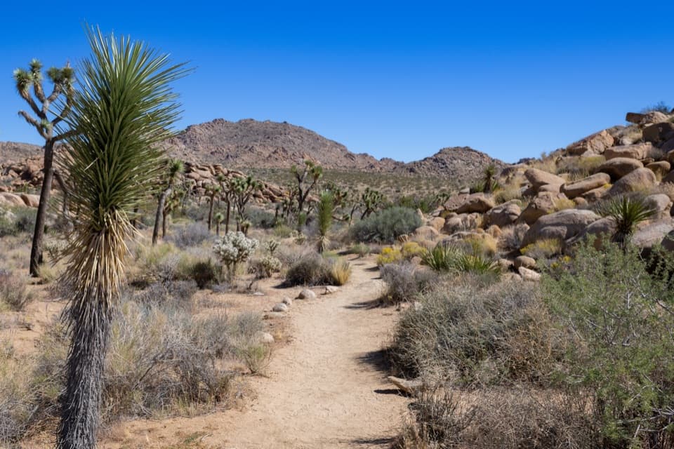 EasyCreosote Trail1.2 mi · 45 min · 0.6 mi awayA short, lightly signed walk among creosote and Joshua trees.
 ModerateBurro/Rocky View Loop4.5 mi · 2.8 hr · 1.3 mi awayA 4.5-mile loop through rocky hills, washes and wide desert views.
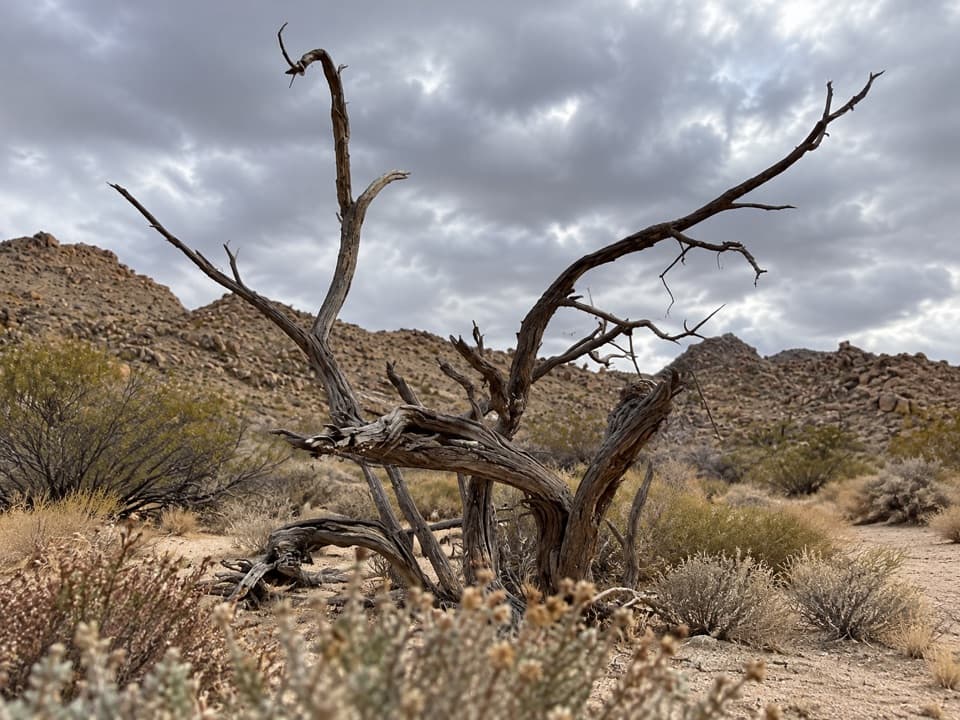 EasySamuelson West Trail1.1 mi · 30 min · 1.6 mi awayA 1.1-mile backcountry link with a Mary Trail junction midway
 ModerateMary Trail2.2 mi · 1.5 hr · 1.8 mi awayA backcountry link between Quail Wash and Samuelson West.
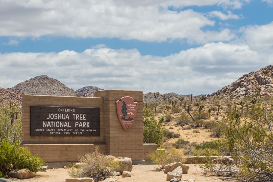 Entrance station · 1.6 mi awayWest Entrance and Welcome SignThe west-gate sign, water fill, and first stop on the park drive.
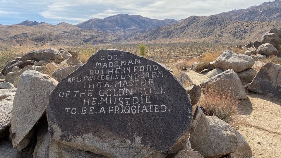 Sight · 2.3 mi awaySamuelson RocksCarved desert messages from a man whose story went missing.
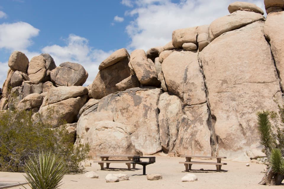 Picnic area · 3.8 mi awayQuail Springs Picnic AreaPicnic tables and grills tucked beneath Joshua Tree’s granite boulders.
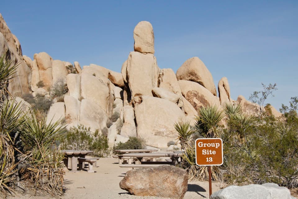 Campground · 4.8 mi awayIndian Cove CampgroundCamp among boulders with climbing and a half-mile nature loop nearby.
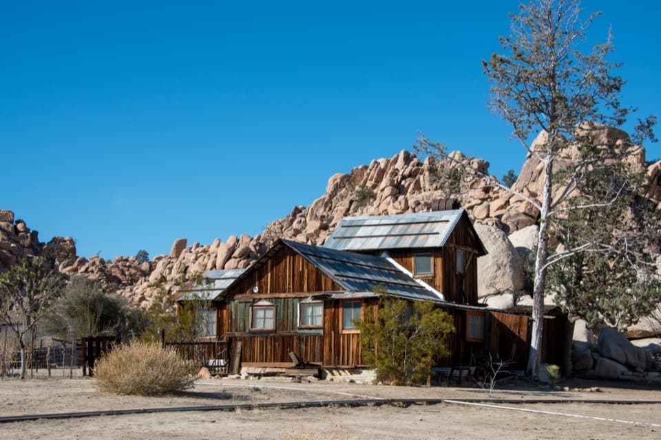 Sight · 4.8 mi awayKeys RanchA ranger-led walk among a family’s desert buildings and mining gear.
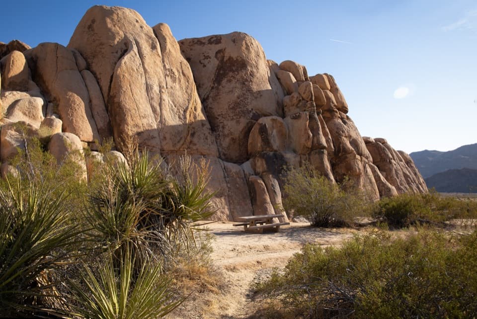 Picnic area · 5.1 mi awayRattlesnake Picnic AreaA quiet lunch stop beneath Indian Cove’s boulder walls.
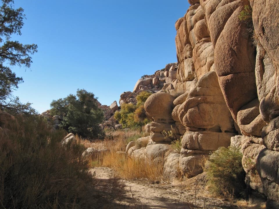 Sight · 5.2 mi awayWillow HoleA seasonal green pocket tucked into a granite maze
 Sight · 5.3 mi awayNancy Karl Trail OverlookA sandy trail leads to a wayside view over the desert basin.
Parkwolf’s Joshua Tree ranking

The audio tour guide for the drive, plus offline maps, trails, and wildlife heatmaps for when the signal drops.