Parking
Use the paved Creosote Trail pullout on Park Boulevard, about 0.6 mile south of the Maze trailhead. A January 2026 account describes space for roughly ten vehicles. There is no restroom at the pullout; Quail Springs has vault toilets.

Joshua Tree National Park, CA
Follow desert paths to a lonely mound of carved messages.
Overview
Map & elevation
Plan your hike

The highest, rockiest slopes around here are a summer buffet for grizzly bears.
Joshua Tree Tour Guide
Parkwolf is a GPS audio tour guide for Joshua Tree National Park. As you drive, it chimes in with what’s ahead: hidden gems, upcoming stops, history, geology, and wildlife, right through your car’s speakers.
See the Joshua Tree audio tourRecorded for this trailhead
Samuelson Rocks from Creosote Trail“You're nearing the Creosote Trail pullout, an access point for Samuelson Rocks.”
Plays as you drive up to this trailhead in the Parkwolf Joshua Tree Tour Guide.
More stories near here in the app
“Fantastic app with many points of information… It’s great to just turn on while you’re driving and it gives you an audio tour of the national Park. We love it!!!!”


Trail guide
Samuelson Rocks is a roughly 4.8-mile out-and-back from the paved Creosote Trail pullout on Park Boulevard. The route follows the Creosote and Bigfoot trail network, then leaves the mapped path for a short, unmarked approach to an inscribed granite mound. Allow about two to three hours, including time to look around. The grades are modest, but the rocky footing and final turn make this a route-finding walk. Go if you like desert history and are comfortable following an indistinct approach; this is not a continuously signed trail to a marked attraction.
Creosote starts among rocky rises, boulders and Joshua trees. Around half a mile in, a warning sign marks the transition to longer routes. Continue toward Bigfoot and stay on Bigfoot where Samuelson West branches away. The rock mound blends into the taller peaks until you get close. Near the end, a small corral, fencing or a fallen water tank can help you recognize the area; then veer left off Bigfoot. The last few dozen yards are unmarked and cross rocky ground, so download the route before you go and pay attention to the terrain around you.
Several dark granite slabs carry carved messages. One signed face includes John Samuelson's name and 1927. The carvings are scattered around the mound, and some sit higher on the rock sides, so finding them can mean scrambling over uneven boulders. Leave the stones and nearby homestead remnants undisturbed. For a photo, include both an inscription and the Joshua tree dotted valley behind it; a tight shot of lettering misses the setting that makes this place unusual.
The paved pullout is described as having room for about ten vehicles, but there is no restroom there; Quail Springs has vault toilets. Pets are not allowed on park trails except on the paved Oasis of Mara Trail, so this is a no-dogs walk. Joshua Tree National Park advises avoiding hikes from 10 a.m. to 5 p.m. in summer and bringing plenty of food and water. There are no known food or water stops along this route.
Wildlife
 129 sightingsBighorn SheepMost seen around 6 PMSighting map
 15 sightingsGolden EagleMost seen around 10 AMSighting map
 413 sightingsDesert TortoiseMost seen around 8 AMSighting map
 275 sightingsCoyoteMost seen around 6 AMSighting map
 47 sightingsBobcatMost seen around 6 PMSighting map
 32 sightingsMule DeerMost seen around 6 AMSighting map
Sighting maps show where each species has been reported across Joshua Tree. Wildlife moves, so no sighting is guaranteed.
Keep exploring
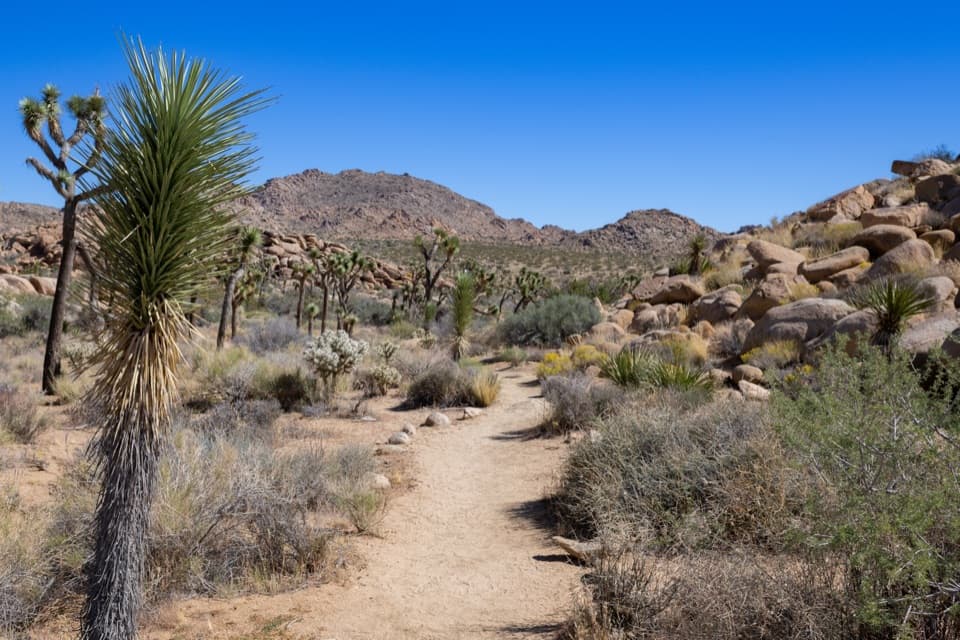 EasyCreosote Trail1.2 mi · 45 min · At the trailheadA short, lightly signed walk among creosote and Joshua trees.
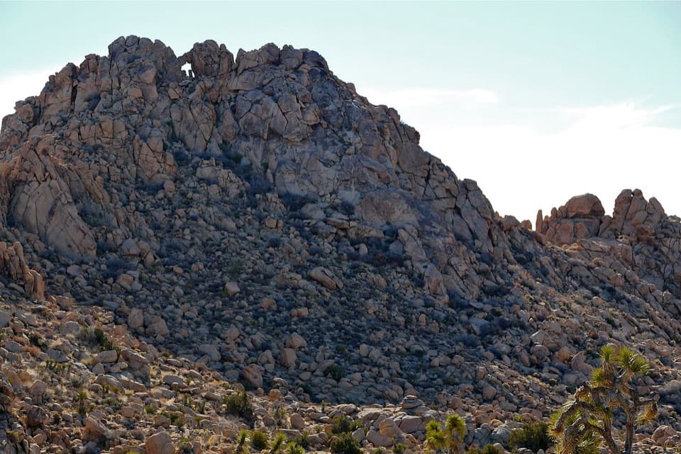 ModerateWindow Loop Trail5.5 mi · 3.5 hr · 0.6 mi awayA long Maze approach leads to Window Rock’s tiny opening.
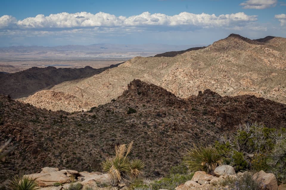 ModerateNorth View Trail5.6 mi · 3.5 hr · 0.6 mi awayWide Morongo Basin views reward a long, rocky out-and-back.
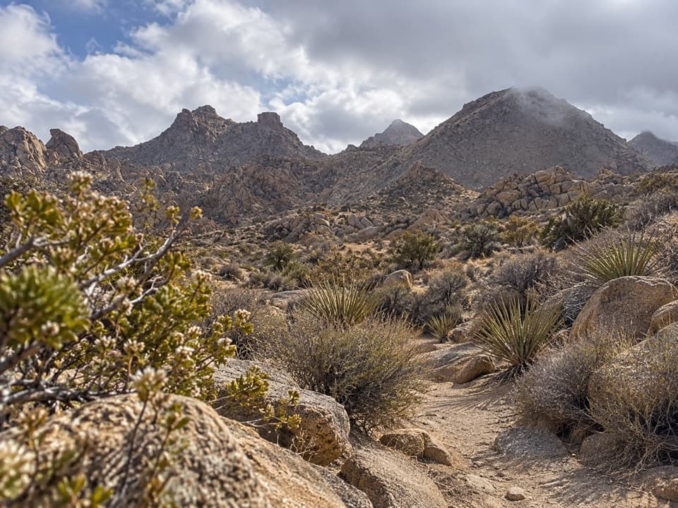 ModerateNorth Canyon Trail1.8 mi · 1 hr · 0.6 mi awayA one-way connector through the Maze’s washes and rocky ridges.
 ModerateMaze Loop Trail5 mi · 2.5 hr · 0.6 mi awayA five-mile boulder maze through sandy washes and Joshua trees.
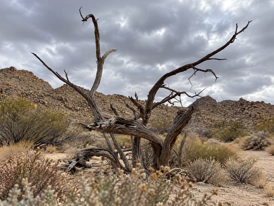 EasySamuelson West Trail1.1 mi · 30 min · 1.1 mi awayA 1.1-mile backcountry link with a Mary Trail junction midway
 ModerateMary Trail2.2 mi · 1.5 hr · 1.4 mi awayA backcountry link between Quail Wash and Samuelson West.
 ModerateBurro/Rocky View Loop4.5 mi · 2.8 hr · 1.9 mi awayA 4.5-mile loop through rocky hills, washes and wide desert views.
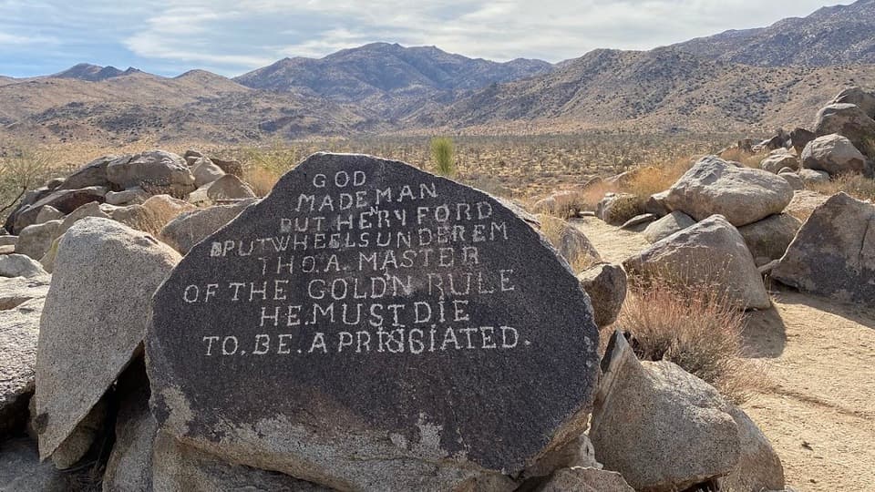 Sight · 1.8 mi awaySamuelson RocksCarved desert messages from a man whose story went missing.
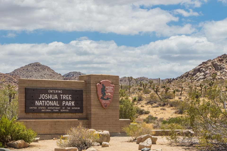 Entrance station · 2.1 mi awayWest Entrance and Welcome SignThe west-gate sign, water fill, and first stop on the park drive.
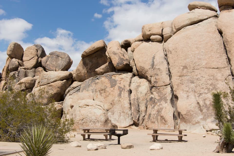 Picnic area · 3.2 mi awayQuail Springs Picnic AreaPicnic tables and grills tucked beneath Joshua Tree’s granite boulders.
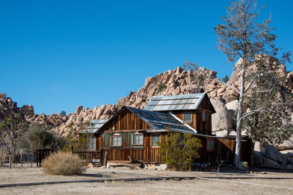 Sight · 4.3 mi awayKeys RanchA ranger-led walk among a family’s desert buildings and mining gear.
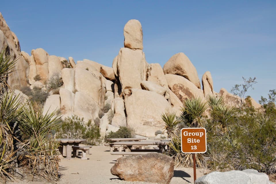 Campground · 4.7 mi awayIndian Cove CampgroundCamp among boulders with climbing and a half-mile nature loop nearby.
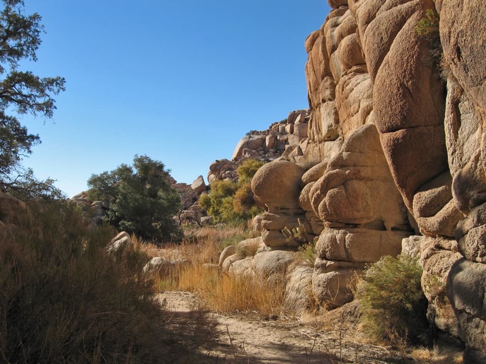 Sight · 4.8 mi awayWillow HoleA seasonal green pocket tucked into a granite maze
 Sight · 4.8 mi awayHemingway ButtressWalk among granite cracks that have drawn climbers since the 1940s.
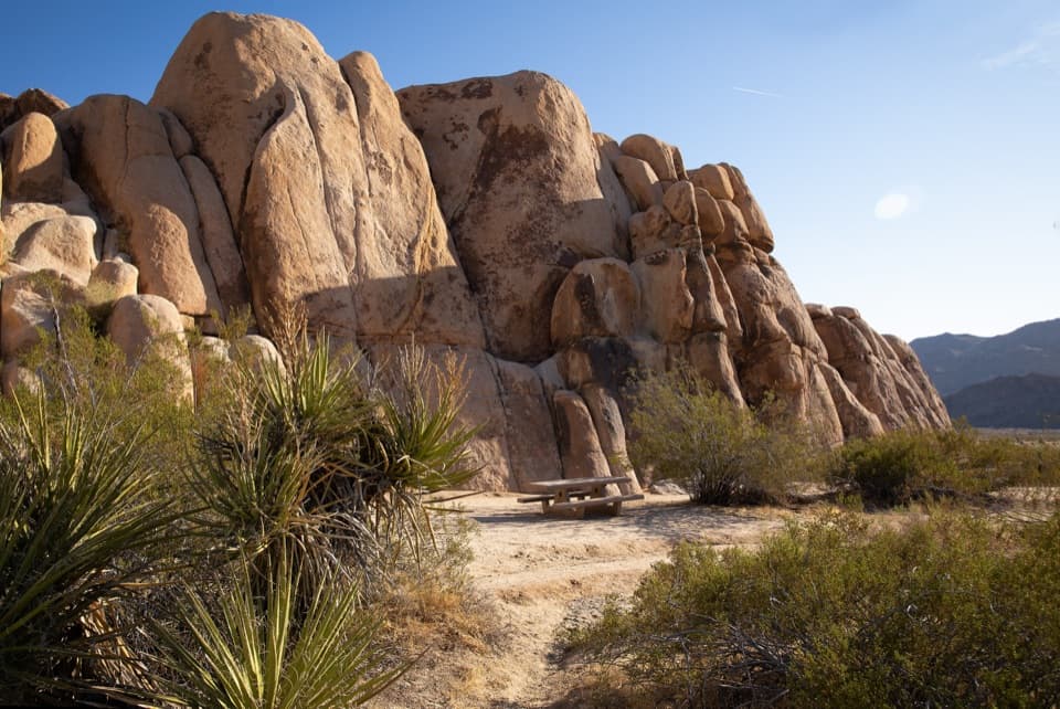 Picnic area · 4.9 mi awayRattlesnake Picnic AreaA quiet lunch stop beneath Indian Cove’s boulder walls.
Parkwolf’s Joshua Tree ranking

The audio tour guide for the drive, plus offline maps, trails, and wildlife heatmaps for when the signal drops.





