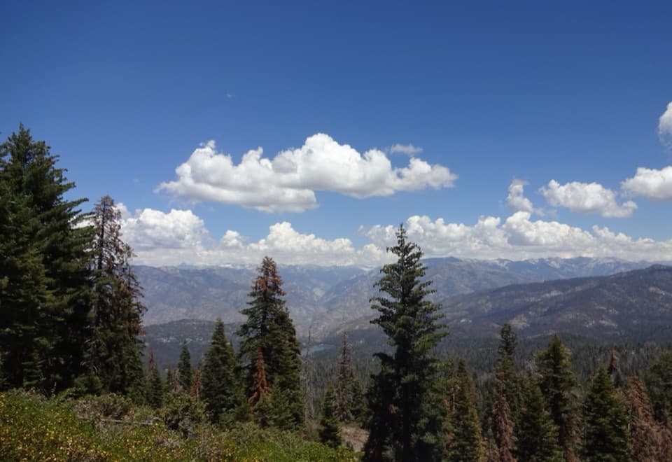
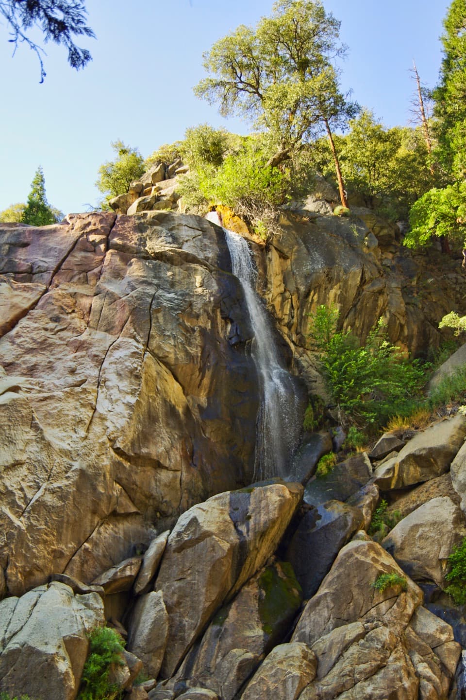
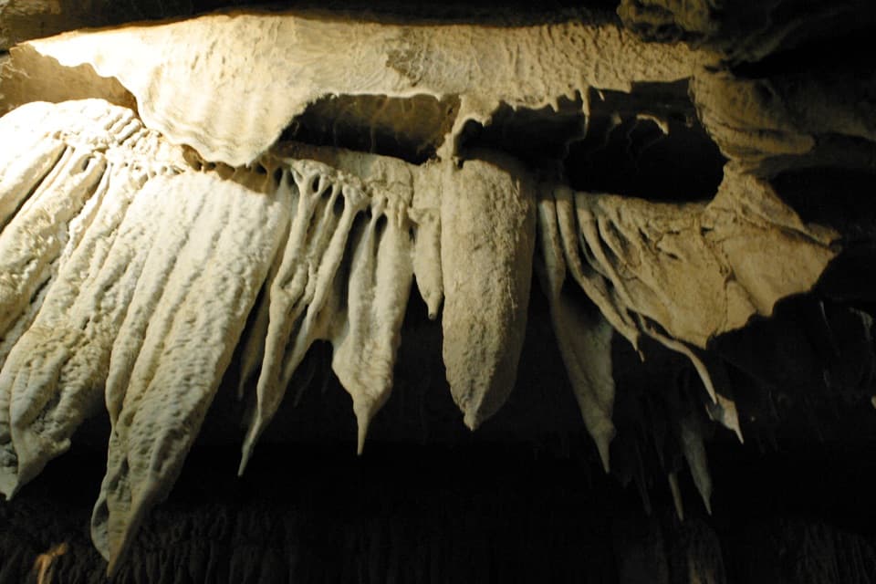
Buck Rock Lookout in Kings Canyon National Park

Sight · Kings Canyon National Park

Buck Rock Lookout

A working fire lookout and 172 exposed steps above the Sierra.

Photo: Wikimedia Commons
Type
Sight
Nearest trail
2.4 mi
Audio stories
1 nearby
  • Scenic viewpoint
  • Parking
  • Picnic tables
  • Restrooms
  • #12 of 31 sights

Hear the audio tour

Granite That Peels in Sheets

Overview

About Buck Rock Lookout

Why stop

  • A working historic lookout with a dramatic stair climb

Heads up

  • The final forest road can be rough, and the stairs are steep and exposed
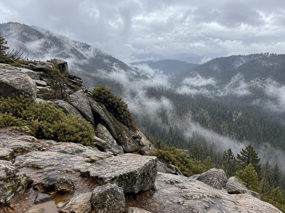
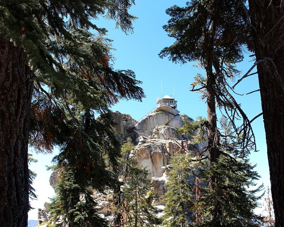
Buck Rock Lookout is a working fire tower perched on a granite dome in Sequoia National Forest, outside Kings Canyon National Park proper. From the base, the wooden cabin looks tiny against the rock; reaching its narrow catwalk means climbing 172 steep, exposed steps, gaining about 300 feet. If you enjoy big open views and are comfortable with heights, this is a distinctive stop. You can still see the lookout and its staircase from below if you’d rather skip the climb.
Parkwolf’s verdictIs the climb for you?

Map

Where it is

Loading the Kings Canyon map
Full map
SightBuck Rock Lookout36.73724, -118.86055
Keep this map with you offline in the Parkwolf app

Plan your stop

Before you go

8 active Kings Canyon alerts

  • CautionWeekday hazard-tree delays on Generals HighwayMentions Generals Highway, referenced in this guideHazard-tree removal is causing weekday traffic delays on Generals Highway between Highway 180 and Giant Forest, with up to 30 minutes of delay total. - Delays are expected weekdays, 8 a.m.–5 p.m.Official details
  • CautionStage 1 fire restrictionsStage 1 fire restrictions are active because high fire danger raises the risk of accidental human-caused fires that could threaten visitors and employees.Official details
See all 8 alerts
A park ranger sits on a dash-mounted phone, talking, as Parkwolf’s Tour Guide plays “Army Cutworm Moths: A Grizzly Bear Buffet” on Grand Loop Road below Dunraven Pass in Yellowstone
Parkwolf Tour GuideThe highest, rockiest slopes around here are a summer buffet for grizzly bears.

Kings Canyon Tour Guide

Your drive to Buck Rock Lookout, narrated.

Parkwolf is a GPS audio tour guide for Kings Canyon National Park. As you drive, it chimes in with what’s ahead: hidden gems, upcoming stops, history, geology, and wildlife, right through your car’s speakers.

See the Kings Canyon audio tour

Recorded for this area

Granite That Peels in Sheets
0:00 / 0:33
“Some granite outcrops look as though they're peeling in layers. Curving cracks run roughly parallel to the rock's surface, allowing broad sheets to separate. Geologists call that exfoliation.”

Plays on the road 1.9 mi from Buck Rock Lookout in the Parkwolf Kings Canyon Tour Guide.

More stories near here in the app

  • Dogwood’s White Leaves
  • A Ride in the Lumber Flume
  • Wild Sheep Return to the Divide
  • A Jay with Borrowed Voices
  • 55 audio storiesacross Kings Canyon’s roads, triggered by GPS as you drive
  • Wildlife heatmapsfor Black Bear, Mule Deer, Marmot, and 13 more
  • Works offlinemaps, 77 trails, 61 places, and audio download before you lose signal
  • CarPlay readysimple controls built for the drive
★★★★★
“…The kids and my husband and I all agree that the narration really added to our experience driving through the parks. We learned so much about the history and the flora & fauna.”
JessestblondeApp Store review
Download Parkwolf on the App StoreGet Parkwolf on Google Play

4.7 from 8,600+ ratings

Guide

More about Buck Rock Lookout

The drive inFrom Generals Highway, follow Big Meadows Road (Forest Road 14S11) about three miles to Horse…

From Generals Highway, follow Big Meadows Road (Forest Road 14S11) about three miles to Horse Camp, then turn onto Forest Road 13S04 and follow lookout signs roughly 2.5 miles to the parking area. The last stretch is a forest dirt road, and visitors report ruts and rough patches that can be hard on low-clearance cars. Road conditions change, so check with the Forest Service before setting out and don’t assume every vehicle can reach the upper parking area. From there, it’s a short walk to the rock. Public access is seasonal during fire season, and fire or weather can interrupt it.

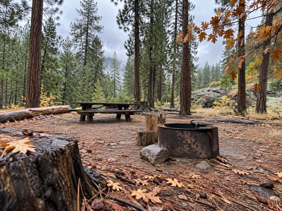
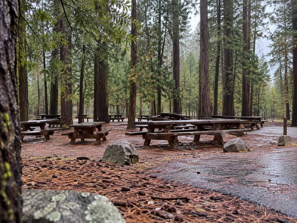
There’s a restroom and picnic tables at the base, but no potable water or food service. Bring what you’ll need before leaving the highway. The tower itself is reached only by stairs, so the catwalk isn’t wheelchair accessible; dogs on a six-foot leash can stay on the approach and at the rock base but can’t go up the stairs or into the lookout.

Look across the SierraThe lookout gives you a wide view in every direction: the Great Western Divide and high Sierra…

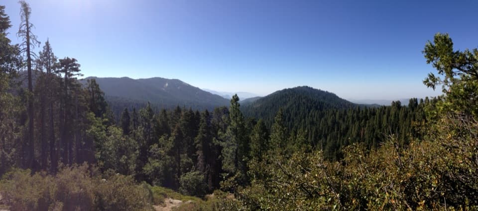
The lookout gives you a wide view in every direction: the Great Western Divide and high Sierra peaks to the east, Kings River country to the north, and, on clear days, the San Joaquin Valley and Coastal Ranges to the west. Smoke can obscure the distant ranges. From below, the best photo shows the zigzag staircase against the granite; from the catwalk, turn around rather than framing only one horizon.

A lookout still at workFire crews have used Buck Rock as a lookout site since the early 1900s.

Fire crews have used Buck Rock as a lookout site since the early 1900s. The present cabin dates to the early 1920s and is one of only three surviving examples of the earliest 4-A style live-in lookout cabins. Before the cabin was built, a ranger climbed the rock with ladders and scanned for smoke with binoculars, a compass and a map, then rode out to investigate fires. The tower was closed in 1987 and reopened in 2000 after preservation work with the Forest Service. It remains a working fire lookout, so the catwalk is a small workplace as well as a viewpoint.

Wildlife

Wildlife in Kings Canyon

All Kings Canyon wildlife maps

Sighting maps show where each species has been reported across Kings Canyon. Wildlife moves, so no sighting is guaranteed.

Keep exploring

Near Buck Rock Lookout

See it all on the map

Trails nearby

More stops nearby

Parkwolf’s Kings Canyon ranking

Top sights in Kings Canyon

All 61 places
  1. 1General Grant TreeSight
  2. 2Zumwalt MeadowSight
  3. 3Roaring River FallsSight
  4. 4Panoramic Point OverlookSight
  5. 5Grizzly FallsSight
  6. 6Boyden CavernSight

Take Parkwolf to Kings Canyon.

The audio tour guide for the drive, plus offline maps, trails, and wildlife heatmaps for when the signal drops.

4.7 from 8,600+ ratings

Download Parkwolf on the App StoreGet Parkwolf on Google Play