Parking
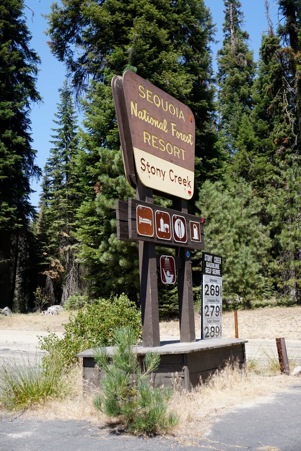
Start from the overnight parking area at Lodgepole Campground by the shuttle stop. Walk along the campground road to the signed Twin Lakes Trail; this is the loop’s start and finish.
Kings Canyon National Park, CA
A remote high-country loop through Deadman Canyon and Elizabeth Pass.
Overview
Deadman Canyon Loop is a strenuous, multi-day backcountry circuit from Lodgepole Campground. This mapped version runs about 50.9 miles, following Twin Lakes Trail over Silliman Pass, down through Sugarloaf Valley to Roaring River, up Deadman Canyon and over Elizabeth Pass, then returning by Bearpaw Meadow, the High Sierra Trail and Panther Gap. Some route descriptions round the shortest circuit to 48 miles; this complete line, including the mapped return to Lodgepole, measures 50.9. Allow four to five days without lake detours; give it longer if you want the extra lakes or generous camp stops. Pick it for a long, varied Sierra traverse, not for an easy weekend hike.
 Parkwolf’s verdictIs this the hike for you?
Map & elevation
Plan your hike

The highest, rockiest slopes around here are a summer buffet for grizzly bears.
Kings Canyon Tour Guide
Parkwolf is a GPS audio tour guide for Kings Canyon National Park. As you drive, it chimes in with what’s ahead: hidden gems, upcoming stops, history, geology, and wildlife, right through your car’s speakers.
See the Kings Canyon audio tour“…The kids and my husband and I all agree that the narration really added to our experience driving through the parks. We learned so much about the history and the flora & fauna.”


Trail guide
The signed Twin Lakes Trail leaves Lodgepole Campground with a steep climb through conifers, past Silliman Creek and Cahoon Meadow, then up rocky switchbacks to the alpine basin. Heavy packs make that first gain feel longer than the mileage suggests. From Twin Lakes, keep climbing to Silliman Pass; the high saddle opens broad views across granite basins toward Mount Silliman and the Great Western Divide. Snow can linger around the passes into early summer, so check conditions before setting out.
The trail drops from Silliman on rough granite steps, then traverses quieter forest and meadow country. The core route skips the side trips to Beville, Ranger and Seville lakes. Lost Lake is a worthwhile extra half-mile each way beneath a jagged ridge, but count those miles separately. In Comanche Meadow, aspens open the view toward Mitchell Peak. Beyond the meadow, the path climbs a moraine for a look down the Roaring River drainage before descending to the ranger station. In the lower-traffic stretches, brush and faint tread can make junctions easy to miss.
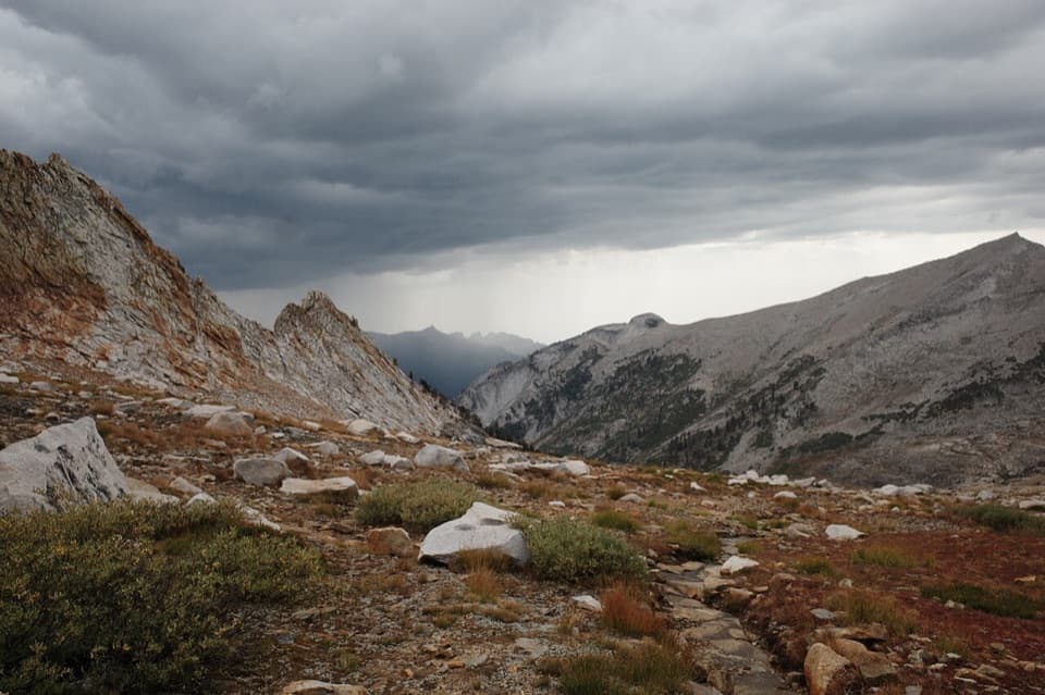
From Roaring River, the route turns south and steadily climbs into Deadman Canyon, the loop’s namesake and one of its most memorable stretches. A small herder’s grave sits in an aspen grove in the canyon; leave the marker undisturbed. The trail continues up the valley toward Elizabeth Pass at 11,371 feet, then crosses rocky, exposed terrain where cairns help pick out the line. Start high-pass climbs early when possible; afternoon thunderstorms are a recurring Sierra risk.
The descent from Elizabeth Pass drops toward Lone Pine Creek and Bearpaw Meadow, then turns west on the High Sierra Trail. Its carved ledges are narrow and exposed above steep slopes, so take your time if heights unsettle you. At the Alta and Panther Gap junction, climb over Panther Gap and follow the mapped return through Wolverton to Lodgepole. That closing connector is part of this loop. Longer lake-focused itineraries may finish at Crescent Meadow and use a seasonal shuttle, but that is a different version.
An overnight wilderness permit is required. Quota-season entries are limited and reserved with a fee; outside quota season, permits are self-issued. Pets are not allowed on park trails. Carry an approved bear-resistant food canister and all the food you need; there is no food service along the remote route, and food-storage boxes are not continuous. This is a strenuous trip at high elevation, with long gaps between services and few easy exits once you are beyond the trailheads.
Wildlife
 227 sightingsBlack BearMost seen around 7 PMSighting map
 385 sightingsMule DeerMost seen around 7 PMSighting map
 188 sightingsMarmotMost seen around 8 AMSighting map
 118 sightingsPikaMost seen around 7 AMSighting map
 14 sightingsGolden TroutMost seen around 7 PMSighting map
 32 sightingsRainbow TroutMost seen around 7 PMSighting map
Sighting maps show where each species has been reported across Kings Canyon. Wildlife moves, so no sighting is guaranteed.
Keep exploring
 ChallengingSilliman Pass via Twin Lakes Trail16 mi · 9.5 hr · At the trailheadTwin Lakes and a high pass reward a long forest climb.
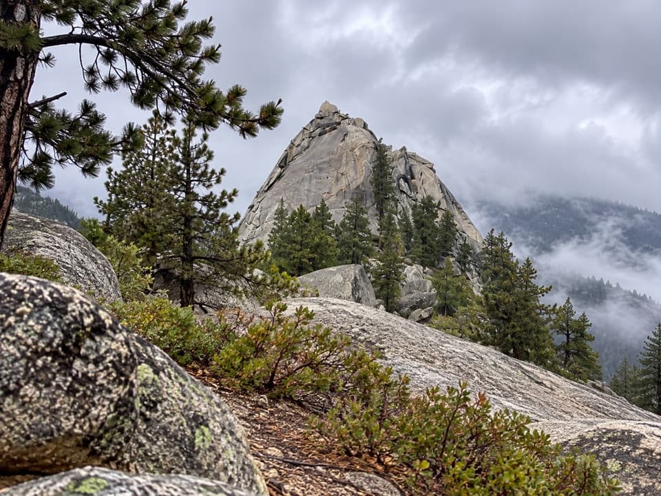 ModerateSugarloaf Valley Trail7.5 mi · 5 hr · 7.5 mi awayFollow Sugarloaf Creek through a remote granite valley.
 ChallengingLost Lake Trail15.6 mi · 10 hr · 8.5 mi awayA full-day climb to a high Sierra lake.
 ChallengingRanger Lake Trail18.2 mi · 12 hr · 8.5 mi awayA long high Sierra route to an alpine lake beneath granite walls.
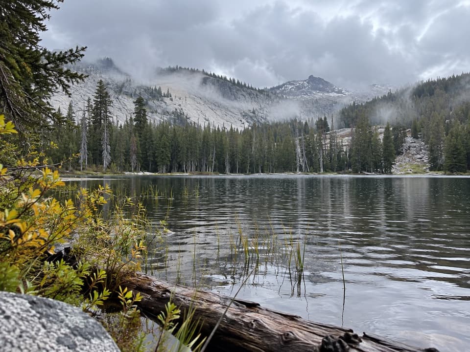 ChallengingSeville Lake Trail13.2 mi · 7.5 hr · 8.5 mi awayA long forest approach ends at a lake beneath granite ridges.
 ChallengingMitchell Peak Trail6 mi · 5 hr · 9.4 mi awayA boulder scramble opens wide views across the high Sierra.ChallengingDeadman Canyon to Elizabeth Pass Trail10.6 mi · 10 hr · 10.6 mi awayA rugged 10.6-mile one-way route from Roaring River to Elizabeth Pass.
 ChallengingColby Pass via Cloud Canyon18.9 mi · 16 hr · 10.7 mi awayA remote divide crossing past Whaleback and Colby Lake.
Parkwolf’s Kings Canyon ranking
The audio tour guide for the drive, plus offline maps, trails, and wildlife heatmaps for when the signal drops.