Parking
Start at Rowell Meadow Trailhead off Big Meadows Road (Forest Road 14S11). Snow can close vehicle access in winter and early spring; foot travel may continue beyond a closed gate. There are no bear lockers at the trailhead.

Kings Canyon National Park, CA
A full-day climb to a high Sierra lake.
Overview
Map & elevation
Plan your hike

The highest, rockiest slopes around here are a summer buffet for grizzly bears.
Kings Canyon Tour Guide
Parkwolf is a GPS audio tour guide for Kings Canyon National Park. As you drive, it chimes in with what’s ahead: hidden gems, upcoming stops, history, geology, and wildlife, right through your car’s speakers.
See the Kings Canyon audio tourMore stories near here in the app
“…The kids and my husband and I all agree that the narration really added to our experience driving through the parks. We learned so much about the history and the flora & fauna.”


Trail guide
From Rowell Meadow Trailhead, this is a 15.6-mile out-and-back to Lost Lake, crossing from Jennie Lakes Wilderness into Kings Canyon National Park. The mapped line is 7.8 miles each way and includes the final half-mile Lost Lake spur; return on the same route. Allow about 10 hours. It is a hard day at high elevation, best for hikers comfortable with a long backcountry outing.
The line leaves Rowell Meadow on Sugarloaf Entrance Trail, joins Belle Canyon Entrance Trail and its short cutoff, then follows Silliman Pass North to the branch for Lost Lake. The lake spur is about half a mile. Use this Rowell Meadow approach rather than the cross-country shortcut described from Ranger Lake in one trip report. The NPS calls Belle Canyon a moderate trail and says its first two miles are the hardest; that rating describes one part of this longer lake outing, not the full round trip.
The route rises from the 7,900-foot trailhead into forested high country. A 25-point terrain profile suggests roughly 3,160 feet of cumulative ascent for the out-and-back; small ups and downs between samples may not be captured. The destination sits near 9,100 feet, so the distance and altitude make this much more demanding than the Belle Canyon segment alone. Other published versions give roughly 17 to 20 miles, but their access points and distance conventions are unclear; this entry uses the connected mapped route from Rowell Meadow.
The approach travels through the Jennie Lakes Wilderness, a mostly high-elevation mix of alpine and subalpine forest, meadows, lakes, and streams. The Forest Service describes red and white fir, lodgepole and other pines, with abundant spring and summer wildflowers. Lost Lake is the endpoint and turnaround, not a loop; keep time for the return across the same ridges and junctions.
This route begins on Forest Service land and enters park wilderness. The NPS directs hikers entering from Jennie Lakes to obtain a wilderness permit for the relevant Belle Canyon or Sugarloaf entry point; check the current entry process before starting. Dogs may use Forest Service trails but are prohibited on trails inside the national parks, so pets cannot accompany this full route. If you turn the hike into an overnight trip, follow wilderness food-storage rules.
Wildlife
 227 sightingsBlack BearMost seen around 7 PMSighting map
 385 sightingsMule DeerMost seen around 7 PMSighting map
 188 sightingsMarmotMost seen around 8 AMSighting map
 118 sightingsPikaMost seen around 7 AMSighting map
 14 sightingsGolden TroutMost seen around 7 PMSighting map
 32 sightingsRainbow TroutMost seen around 7 PMSighting map
Sighting maps show where each species has been reported across Kings Canyon. Wildlife moves, so no sighting is guaranteed.
Keep exploring
 ChallengingRanger Lake Trail18.2 mi · 12 hr · At the trailheadA long high Sierra route to an alpine lake beneath granite walls.
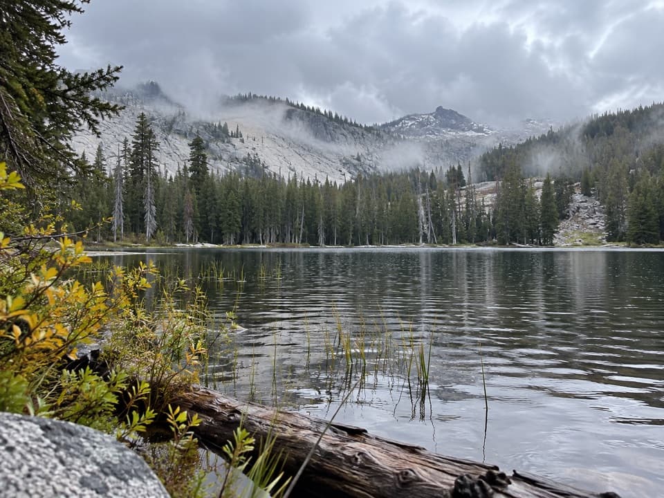 ChallengingSeville Lake Trail13.2 mi · 7.5 hr · 0.1 mi awayA long forest approach ends at a lake beneath granite ridges.
 ChallengingMitchell Peak Trail6 mi · 5 hr · 1.9 mi awayA boulder scramble opens wide views across the high Sierra.
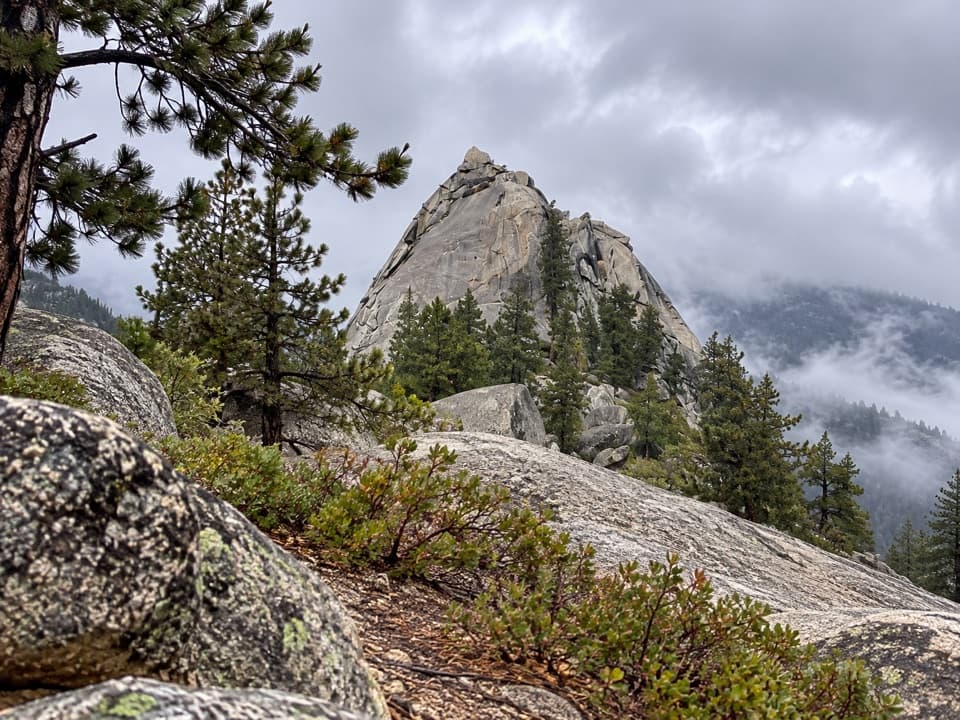 ModerateSugarloaf Valley Trail7.5 mi · 5 hr · 4.3 mi awayFollow Sugarloaf Creek through a remote granite valley.
 ChallengingKanawyer Trail (Monarch Wilderness)11.1 mi · 8 hr · 4.8 mi awayA remote drop through three giant sequoia groves.
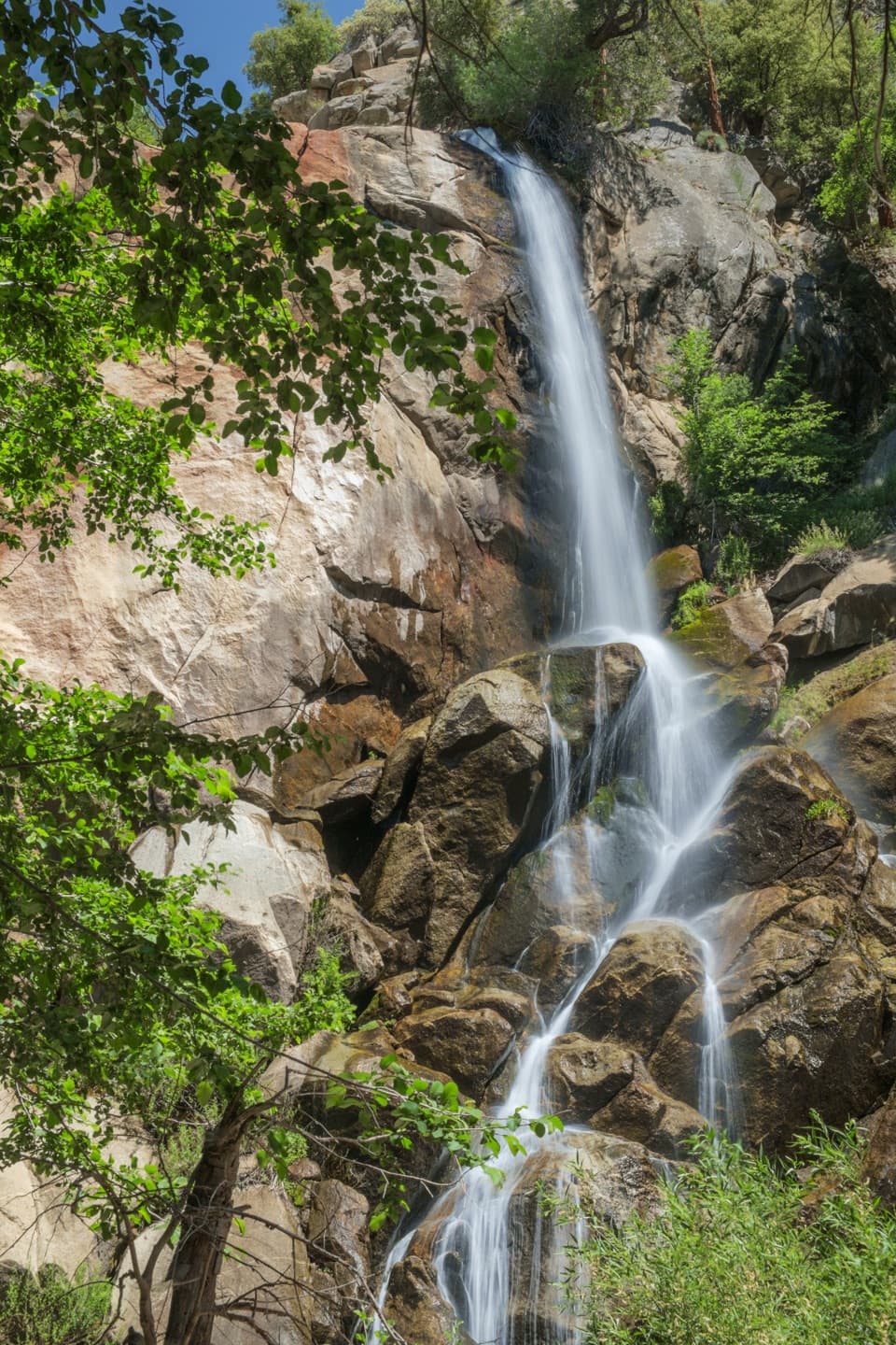 EasyGrizzly Falls Trail0.1 mi · 20 min · 5.6 mi awayAn 80-foot waterfall rewards a short walk from the picnic area.
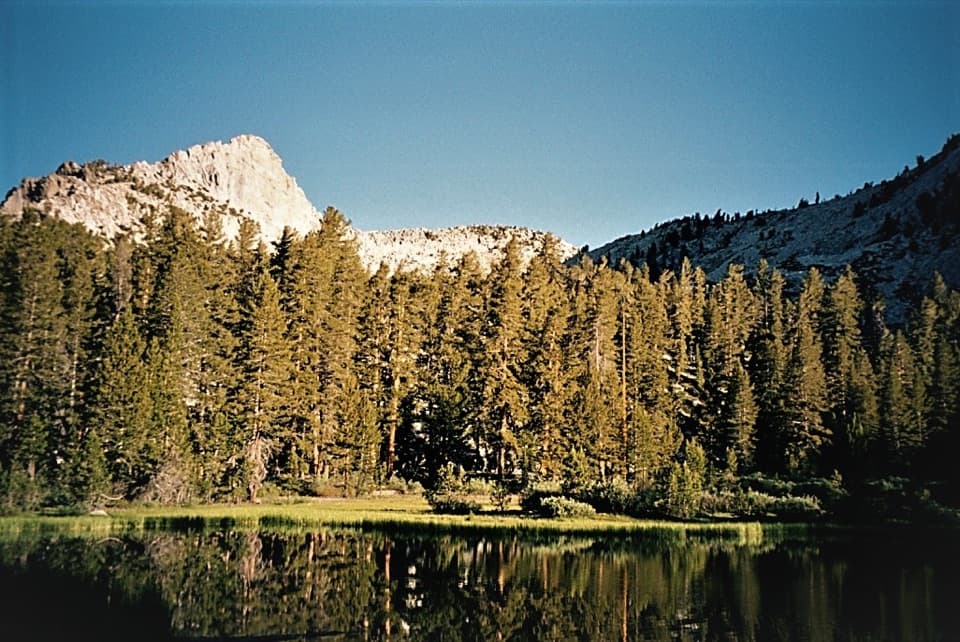 ChallengingGrizzly Lakes via Deer Cove Trail17.5 mi · 12 hr · 6.2 mi awayA steep, all-day climb to lakes beneath Mount Harrington.
 ModerateBig Baldy Ridge Trail4.4 mi · 2.5 hr · 6.6 mi awayClimb a forested ridge to granite views over Redwood Canyon.
 Campground · 3.2 mi awayBig Meadow CampgroundHigh-country camping by a meadow creek; bring drinking water.
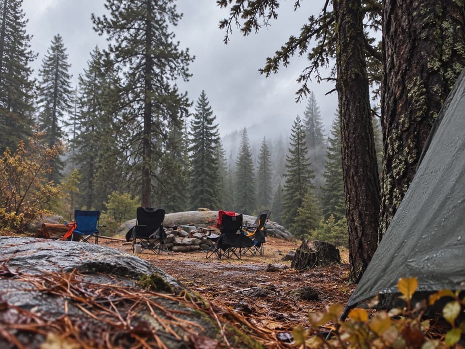 Campground · 4.8 mi awayBuck Rock CampgroundCamp high above Grant Grove, near trails and Big Meadow Creek.
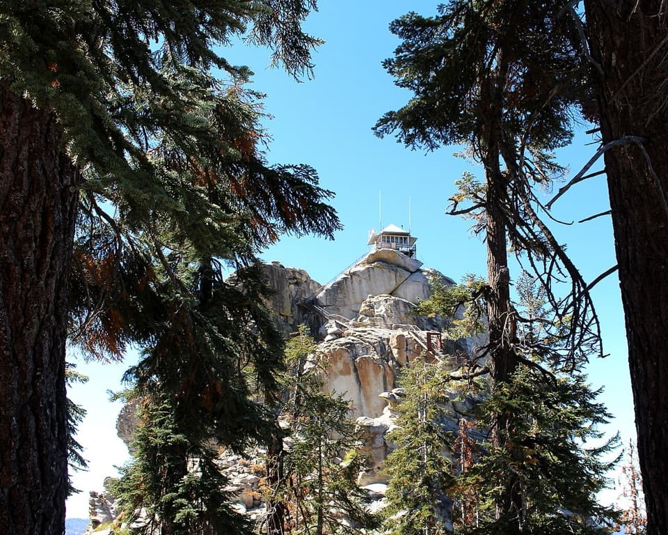 Sight · 5.4 mi awayBuck Rock LookoutA working fire lookout and 172 exposed steps above the Sierra.
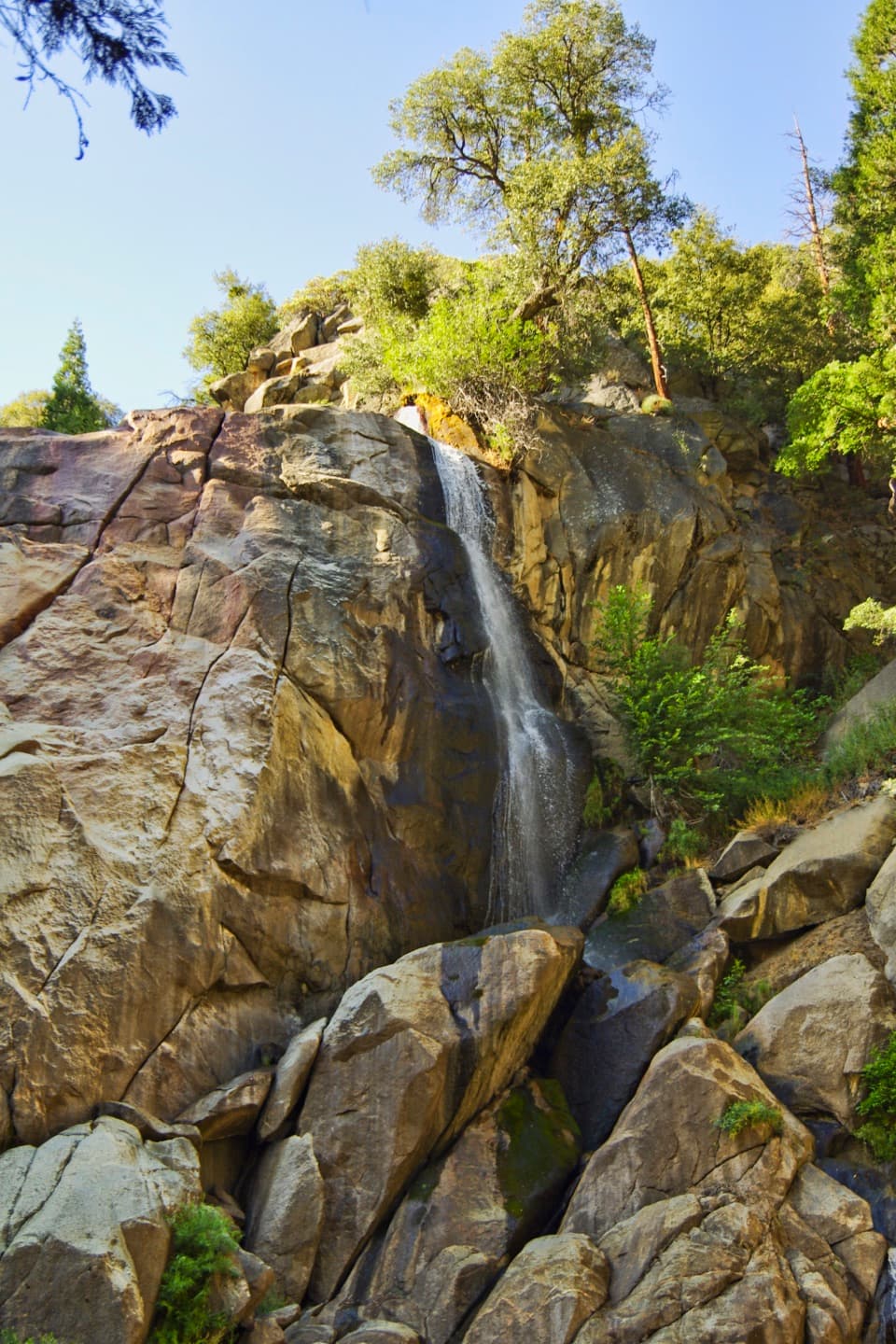 Sight · 5.7 mi awayGrizzly FallsA quick stop where spring snowmelt gives the waterfall some force.
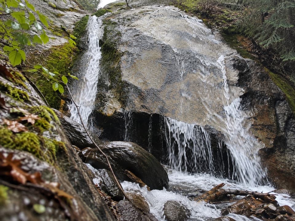 Sight · 5.8 mi awaySheep Creek CascadeA shady waterfall hike with Monarch Divide views.
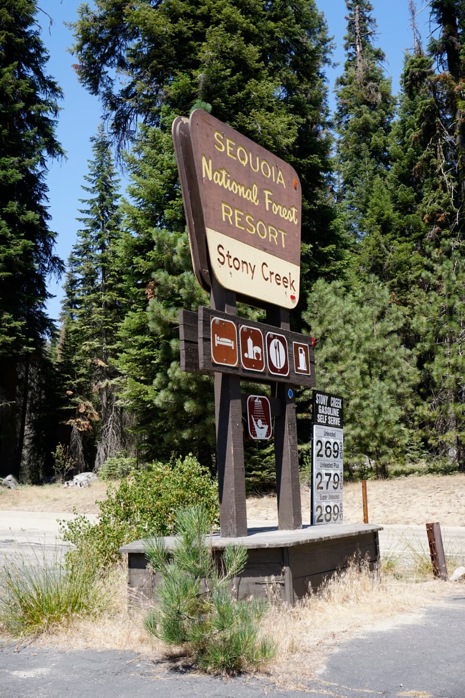 Lodging · 5.9 mi awayStony Creek Lodge and VillageA seasonal lodging, pizza and fuel stop along the Generals Highway.
 Campground · 6.7 mi awaySheep Creek CampgroundA shady riverside base in the heart of Cedar Grove.
 Campground · 6.9 mi awaySentinel CampgroundSleep near the Kings River, with Cedar Grove trails close by.
Parkwolf’s Kings Canyon ranking

The audio tour guide for the drive, plus offline maps, trails, and wildlife heatmaps for when the signal drops.





