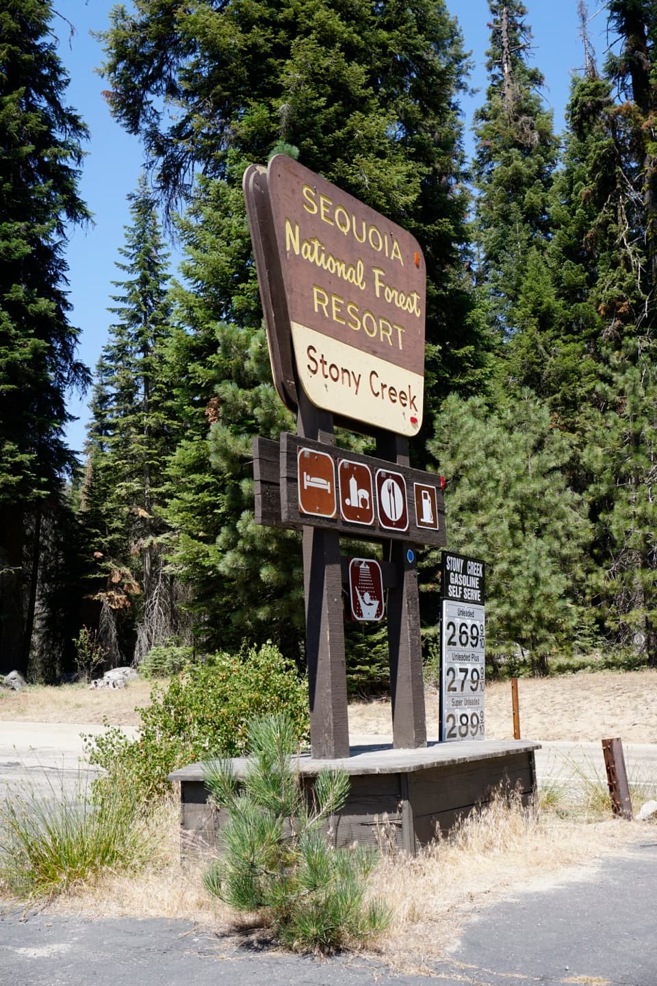
Parking
Use the day-hiker lot at Lodgepole, near the campground bus stop. Cross the Marble Fork Kaweah bridge and continue beyond the Tokopah trailhead to the signed Twin Lakes Trailhead.

Kings Canyon National Park, CA
Twin Lakes and a high pass reward a long forest climb.
Overview
Map & elevation
Plan your hike

The highest, rockiest slopes around here are a summer buffet for grizzly bears.
Kings Canyon Tour Guide
Parkwolf is a GPS audio tour guide for Kings Canyon National Park. As you drive, it chimes in with what’s ahead: hidden gems, upcoming stops, history, geology, and wildlife, right through your car’s speakers.
See the Kings Canyon audio tour“…The kids and my husband and I all agree that the narration really added to our experience driving through the parks. We learned so much about the history and the flora & fauna.”


Trail guide
Silliman Pass via the Twin Lakes Trail is a strenuous out-and-back from Lodgepole to Silliman Pass, on the boundary between Sequoia and Kings Canyon. Plan for about 16 miles round trip—roughly eight each way—and nine to eleven hours with breaks. Most of the climb runs under conifers before the alpine lakes and granite crest come into view. This is a full-day backcountry hike, not a quick summit walk. Detailed mileage puts the pass about 7.6 to 7.7 miles from the start; visitor material rounds that to eight, so use 16 miles for planning.
Start at the Twin Lakes Trailhead near Lodgepole Campground, cross the Marble Fork Kaweah bridge, and continue past the Tokopah trailhead. The path climbs through open Jeffrey pine and incense cedar before fir forest closes in. Around mile 2.3, rock-hop across Silliman Creek; Cahoon Meadow opens the trees at roughly mile 2.7. It is also the first allowed campsite, about three miles from Lodgepole. Beyond the meadow comes a sustained climb to Cahoon Gap, then a descent toward Clover Creek. At the junction, stay on the main route toward Twin Lakes rather than taking the J.O. Pass spur.
Twin Lakes appear around mile 6.8. The larger south lake and the smaller, marshier north lake have different characters; from the north shore, the Twin Peaks rise behind the basin. The last stretch climbs through forest and switchbacks, with occasional windows back toward the lakes and Tokopah Valley. Silliman Pass itself is tree-covered, so the payoff is the changing view along the approach rather than a wide-open summit panorama. The rocky outlook just below the pass makes a good place to frame the lake with granite in the foreground.
If 16 miles is too much, Cahoon Meadow makes a much shorter out-and-back at about six miles. Twin Lakes is a more scenic turnaround, but still roughly 14 miles round trip. If you camp instead, an overnight wilderness permit is required; Cahoon Meadow is the first allowed campsite. The trail continues beyond the pass into a different backcountry itinerary, so going over the crest changes the distance and logistics.
Use the day-hiker lot at Lodgepole, near the campground bus stop, then follow the signed route across the river bridge. Bring lunch and enough drinking water for a long day; no food service or treated water was found along the trail. Pets are prohibited on park trails. Snow can remain near the pass early in the hiking season, so check current conditions before setting out.
Wildlife
 227 sightingsBlack BearMost seen around 7 PMSighting map
 385 sightingsMule DeerMost seen around 7 PMSighting map
 188 sightingsMarmotMost seen around 8 AMSighting map
 118 sightingsPikaMost seen around 7 AMSighting map
 14 sightingsGolden TroutMost seen around 7 PMSighting map
 32 sightingsRainbow TroutMost seen around 7 PMSighting map
Sighting maps show where each species has been reported across Kings Canyon. Wildlife moves, so no sighting is guaranteed.
Keep exploring
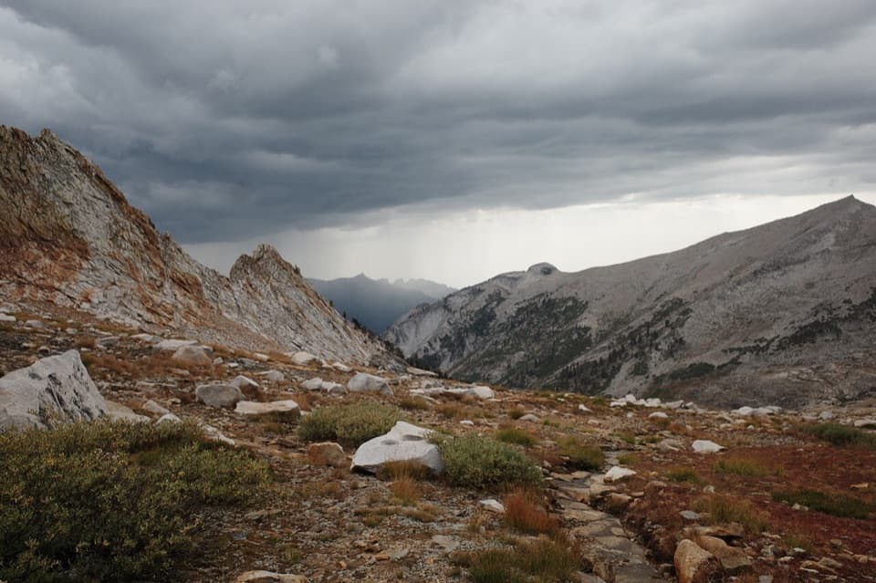 ChallengingDeadman Canyon Loop50.9 mi · 1.3 days · At the trailheadA remote high-country loop through Deadman Canyon and Elizabeth Pass.
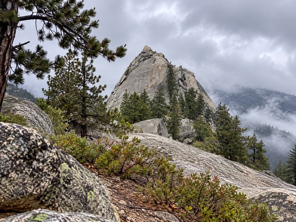 ModerateSugarloaf Valley Trail7.5 mi · 5 hr · 7.5 mi awayFollow Sugarloaf Creek through a remote granite valley.
 ChallengingLost Lake Trail15.6 mi · 10 hr · 8.4 mi awayA full-day climb to a high Sierra lake.
 ChallengingRanger Lake Trail18.2 mi · 12 hr · 8.4 mi awayA long high Sierra route to an alpine lake beneath granite walls.
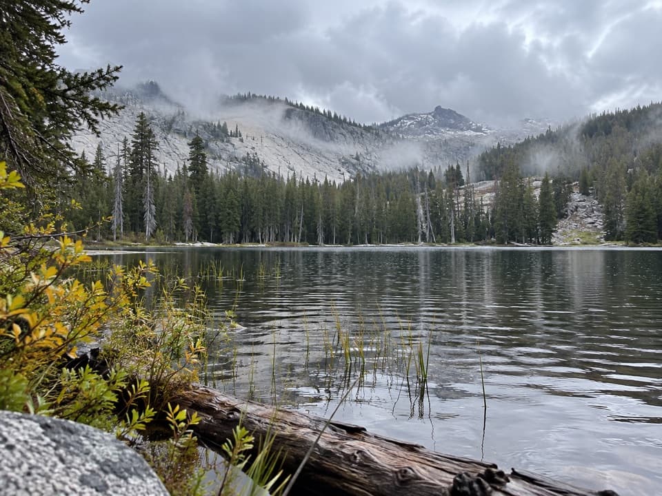 ChallengingSeville Lake Trail13.2 mi · 7.5 hr · 8.5 mi awayA long forest approach ends at a lake beneath granite ridges.
 ChallengingMitchell Peak Trail6 mi · 5 hr · 9.4 mi awayA boulder scramble opens wide views across the high Sierra.ChallengingDeadman Canyon to Elizabeth Pass Trail10.6 mi · 10 hr · 10.6 mi awayA rugged 10.6-mile one-way route from Roaring River to Elizabeth Pass.
 ChallengingColby Pass via Cloud Canyon18.9 mi · 16 hr · 10.6 mi awayA remote divide crossing past Whaleback and Colby Lake.
Parkwolf’s Kings Canyon ranking

The audio tour guide for the drive, plus offline maps, trails, and wildlife heatmaps for when the signal drops.