Parking
Park at Grizzly Falls Picnic Area on CA-180; the walk starts within the picnic area. The Forest Service site has no day-use fee and is open sunrise to sunset.
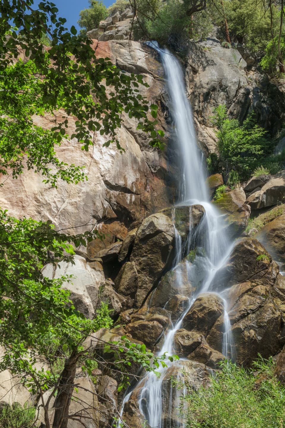
Kings Canyon National Park, CA
An 80-foot waterfall rewards a short walk from the picnic area.
Overview
Map & elevation
Plan your hike

The highest, rockiest slopes around here are a summer buffet for grizzly bears.
Kings Canyon Tour Guide
Parkwolf is a GPS audio tour guide for Kings Canyon National Park. As you drive, it chimes in with what’s ahead: hidden gems, upcoming stops, history, geology, and wildlife, right through your car’s speakers.
See the Kings Canyon audio tourRecorded for this trailhead
Grizzly Falls“Grizzly Falls is coming up, just a short walk from its picnic area in Sequoia National Forest. Give it about twenty minutes for a look at the eighty-foot drop over granite.”
Plays as you drive up to this trailhead in the Parkwolf Kings Canyon Tour Guide.
More stories near here in the app
“…The kids and my husband and I all agree that the narration really added to our experience driving through the parks. We learned so much about the history and the flora & fauna.”


Trail guide
Grizzly Falls Trail is a roughly 0.1-mile out-and-back from Grizzly Falls Picnic Area to the base of the falls and back. The cascade drops about 80 feet over granite, making this a quick roadside stop rather than a substantial hike; allow 15–30 minutes for the walk and a look around. The falls and picnic area are in Sequoia National Forest, about 4.6 miles from Cedar Grove Visitor Center.
A defined walkway runs through the picnic area before a short dirt footway heads toward the cascade. The falls appear quickly, and the route ends on rocky ground at the base. The approach is easy, but the last steps are uneven. Grizzly Creek swells in early spring as snowmelt feeds it; when the flow drops, more granite shows and the waterfall narrows. From the end of the path, frame the full cascade with the granite face and boulders below.
Start at Grizzly Falls Picnic Area on CA-180. The Forest Service site is free for day use from sunrise to sunset, with picnic tables and a vault toilet but no drinking water or grills. Rocks around the falls become slippery when wet, so stay off the waterfall boulders.
Wildlife
 227 sightingsBlack BearMost seen around 7 PMSighting map
 385 sightingsMule DeerMost seen around 7 PMSighting map
 188 sightingsMarmotMost seen around 8 AMSighting map
 118 sightingsPikaMost seen around 7 AMSighting map
 14 sightingsGolden TroutMost seen around 7 PMSighting map
 32 sightingsRainbow TroutMost seen around 7 PMSighting map
Sighting maps show where each species has been reported across Kings Canyon. Wildlife moves, so no sighting is guaranteed.
Keep exploring
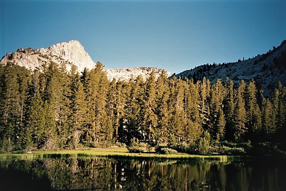 ChallengingGrizzly Lakes via Deer Cove Trail17.5 mi · 12 hr · 1.6 mi awayA steep, all-day climb to lakes beneath Mount Harrington.
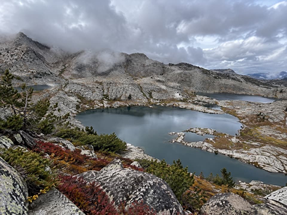 ChallengingVolcanic Lakes Loop37.6 mi · 1.5 days · 2.9 mi awayA chain of granite lakes rewards a long, rough cross-country route.
 ChallengingLewis Creek Trail to Kennedy Pass19.6 mi · 18 hr · 2.9 mi awayA steep, high-country climb to a broad Sierra pass.
 ModerateSheep Creek Cascade Trail2 mi · 1.5 hr · 4.1 mi awayA short climb to small falls in a shady Cedar Grove ravine.
 ChallengingLookout Peak via Don Cecil Trail11 mi · 8 hr · 4.1 mi awayA long historic climb opens over the whole canyon.
 ChallengingCedar Grove Overlook via Hotel Creek Trail4.4 mi · 3.5 hr · 4.2 mi awayA steep 4.4-mile out-and-back to Kings Canyon views
 ModerateHotel Creek–Lewis Creek Loop8 mi · 5 hr · 4.2 mi awayCedar Grove loop with a canyon view and quiet pine stretch.
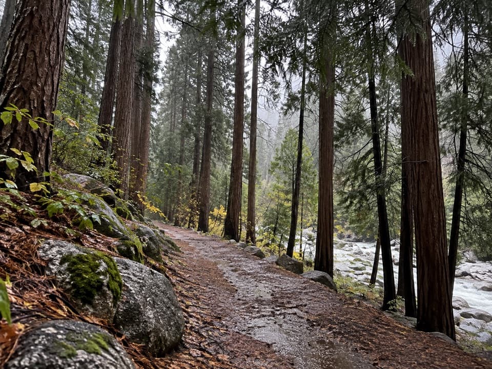 EasyCedar Grove River Road Walk6.6 mi · 2.5 hr · 4.2 mi awayA flat riverside road walk beneath granite cliffs.
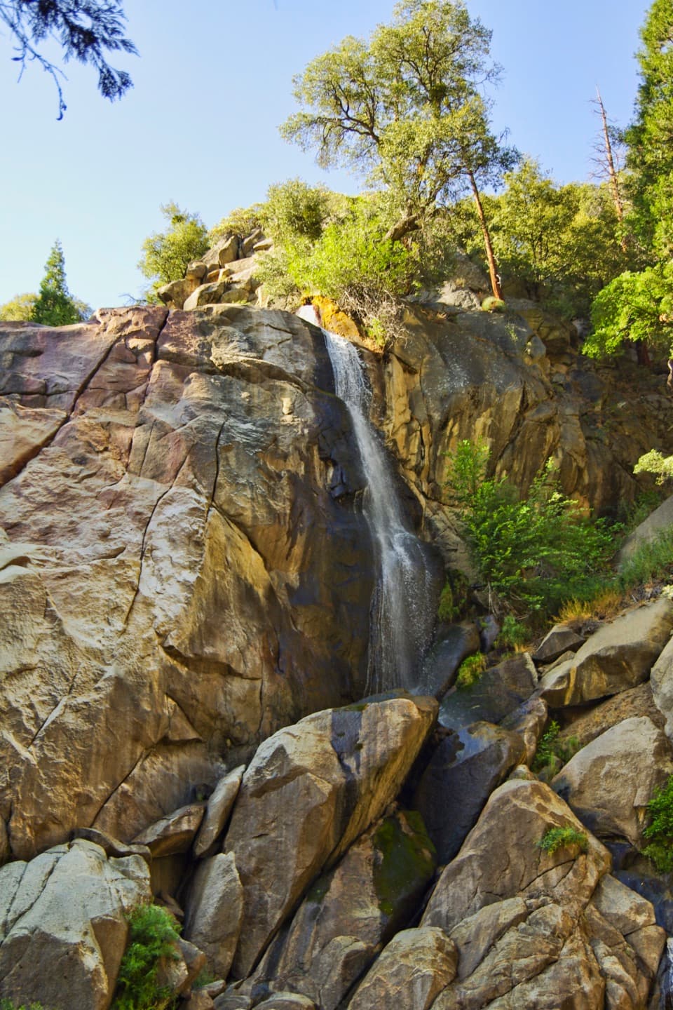 Sight · 0.1 mi awayGrizzly FallsA quick stop where spring snowmelt gives the waterfall some force.
 Campground · 3.6 mi awaySheep Creek CampgroundA shady riverside base in the heart of Cedar Grove.
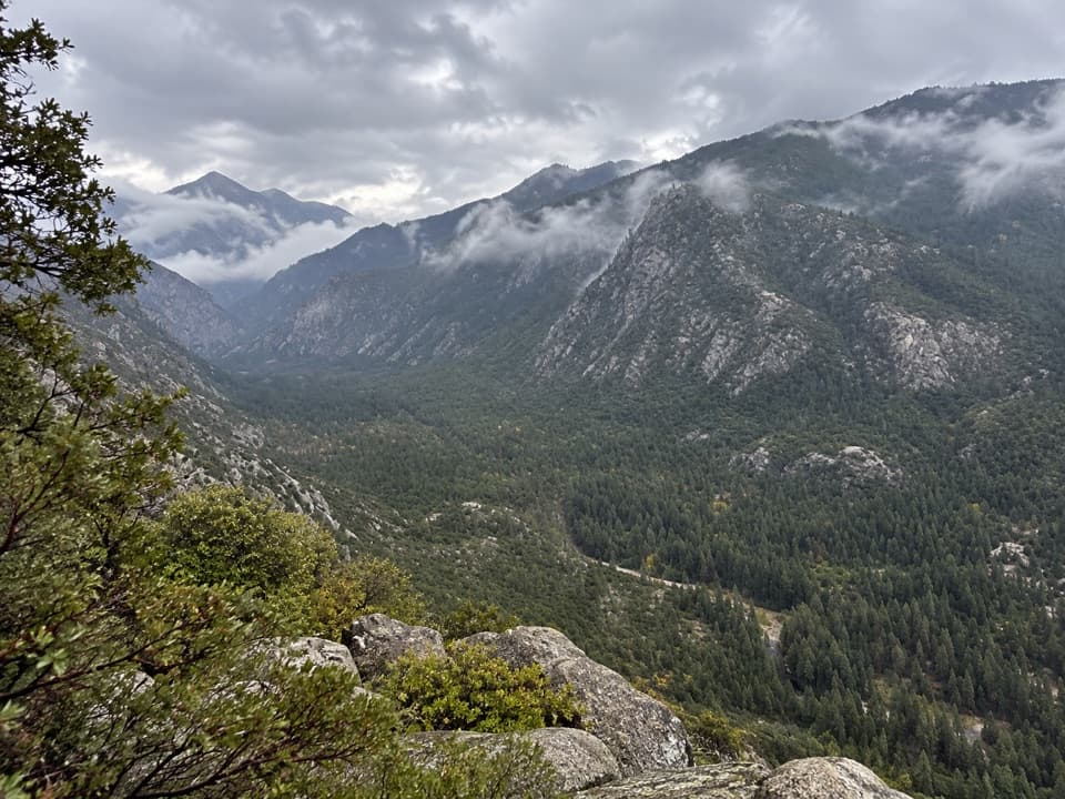 Sight · 3.6 mi awayCedar Grove OverlookA steep climb to a broad mid-canyon view.
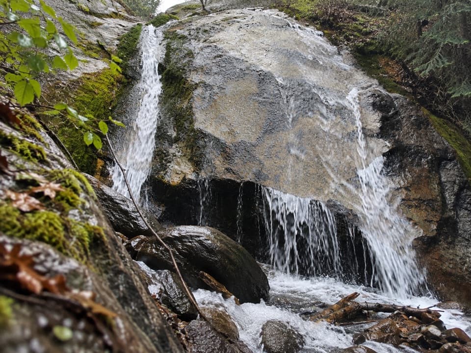 Sight · 3.7 mi awaySheep Creek CascadeA shady waterfall hike with Monarch Divide views.
 Campground · 4 mi awaySentinel CampgroundSleep near the Kings River, with Cedar Grove trails close by.
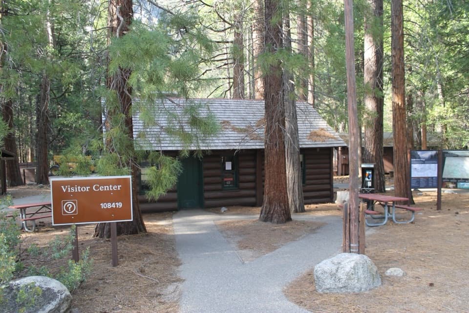 Visitor center · 4.1 mi awayCedar Grove Visitor CenterA handy cabin stop for maps and ranger advice before the canyon.
 Sight · 4.1 mi awayCedar Grove AmphitheaterA forest theater for ranger talks when Cedar Grove's program is on.
 Lodging · 4.3 mi awayCedar Grove Lodge and MarketSeasonal rooms, riverside dining and supplies in the canyon
Parkwolf’s Kings Canyon ranking

The audio tour guide for the drive, plus offline maps, trails, and wildlife heatmaps for when the signal drops.





