Parking
Start at Marble Canyon Day-use Area or Paint Pots Day-use Area. The trail is point to point, so arrange a ride or a vehicle at the far end, or budget for a 5.8 km return walk.
Kootenay National Park, BC
A forest connector between Marble Canyon and the Paint Pots.
Overview
Map & elevation
Plan your hike

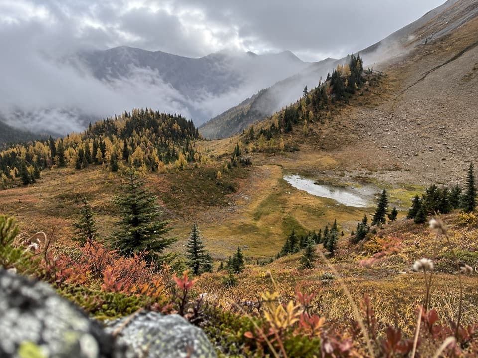
The highest, rockiest slopes around here are a summer buffet for grizzly bears.
Kootenay Tour Guide
Parkwolf is a GPS audio tour guide for Kootenay National Park. As you drive, it chimes in with what’s ahead: hidden gems, upcoming stops, history, geology, and wildlife, right through your car’s speakers.
See the Kootenay audio tourRecorded for this trailhead
Marble Canyon: Beyond the First Bridge“Marble Canyon is coming up, and I'd stop here for dramatic canyon views without a long hike. Seven bridges cross the narrow limestone gorge carved by Tokumm Creek, with blue-green water far below.”
Plays as you drive up to this trailhead in the Parkwolf Kootenay Tour Guide.
More stories near here in the app
“Fantastic app with many points of information… It’s great to just turn on while you’re driving and it gives you an audio tour of the national Park. We love it!!!!”


Trail guide
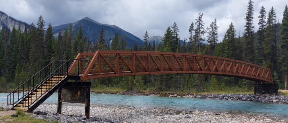
Vermilion River Trail is a 2.9 km (1.8 mi) one-way walk linking Marble Canyon and the Paint Pots. It passes through mature and burned forest, with 65 m of climbing and 110 m of descent on the Marble Canyon-to-Paint Pots line. At the Paint Pots end, three iron-rich springs stain the ground orange.
The route is point to point, not a loop. The listed return time is about two hours; walking back to the same vehicle makes it 5.8 km (3.6 mi). For a one-way walk, arrange a ride or leave a vehicle at the far day-use area. Dogs are allowed on leash and under control.
The Vermilion Pass fire burned this area in 1968. Along the walk, look for marks left by the fire where the trail passes through burned forest.
Wildlife
 41 sightingsGrizzly BearMost seen around 8 PMSighting map
 31 sightingsGray WolfMost seen around 8 PMSighting map
 22 sightingsMooseMost seen around 6 AMSighting map
 84 sightingsMountain GoatMost seen around 7 PMSighting map
 522 sightingsBighorn SheepMost seen around 7 AMSighting map
 65 sightingsElkMost seen around 6 AMSighting map
Sighting maps show where each species has been reported across Kootenay. Wildlife moves, so no sighting is guaranteed.
Keep exploring
 EasyMarble Canyon1.8 km · 36 min · At the trailheadAn easy bridge walk over a startlingly deep, turquoise canyon.
 ModerateTokumm Creek Trail8.6 km · 3.5 hr · At the trailheadA creekside wilderness route with no trail maintenance.
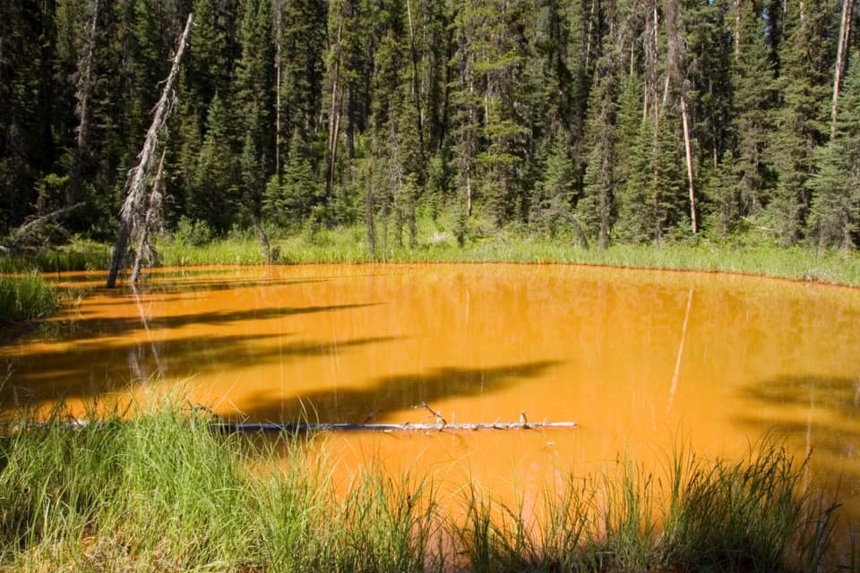 EasyPaint Pots Trail2 km · 45 min · 2.5 km awayCross the Vermilion River to three iron-rich springs.
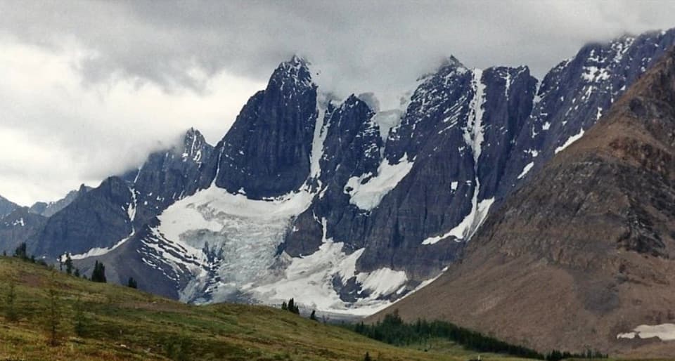 ChallengingTumbling-Floe Traverse37.7 km · 2.5 days · 2.5 km awayA two-to-three-day traverse from Paint Pots to Floe Lake.
 ChallengingHelmet Creek Trail28.4 km · 10 hr · 2.5 km awayA long hike from ochre springs to a 300 m waterfall.
 ChallengingTumbling Creek Trail20.4 km · 6 hr · 2.5 km awayA hard climb to Tumbling Falls and a gateway to the Rockwall.
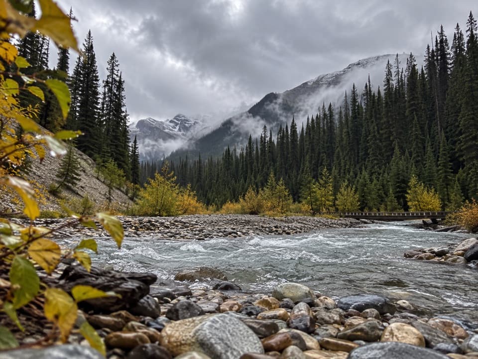 ModerateOchre Creek Trail12.4 km · 4 hr · 2.5 km awayA forested creek walk to the northern Rockwall campground.
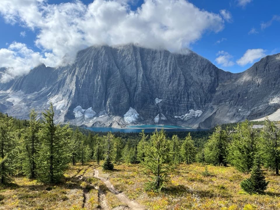 ChallengingRockwall Trail54.1 km · 4 days · 2.5 km awayThree passes, the Rockwall, and Floe Lake anchor an alpine traverse.
 Sight · At the trailheadMarble CanyonSeven bridges, blue water, and a waterfall on a short gorge walk.
 Campground · 0.3 km awayMarble Canyon CampgroundA basic campground in a spruce forest with no cell signal.
 Sight · 3 km awayPaint PotsThree iron-rich springs stain the ground a vivid ochre.
 Sight · 5.7 km awayStanley GlacierWaterfalls and a turquoise crossing lead to a glacier basin.
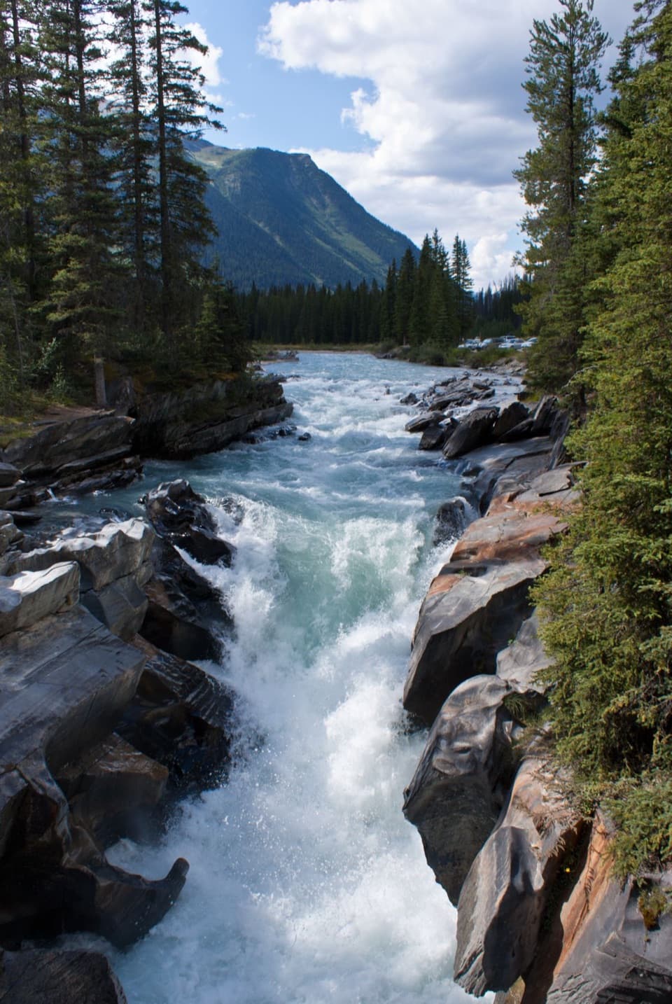 Sight · 6 km awayNuma FallsA short bridge walk reveals the Vermilion's sculpted canyon.
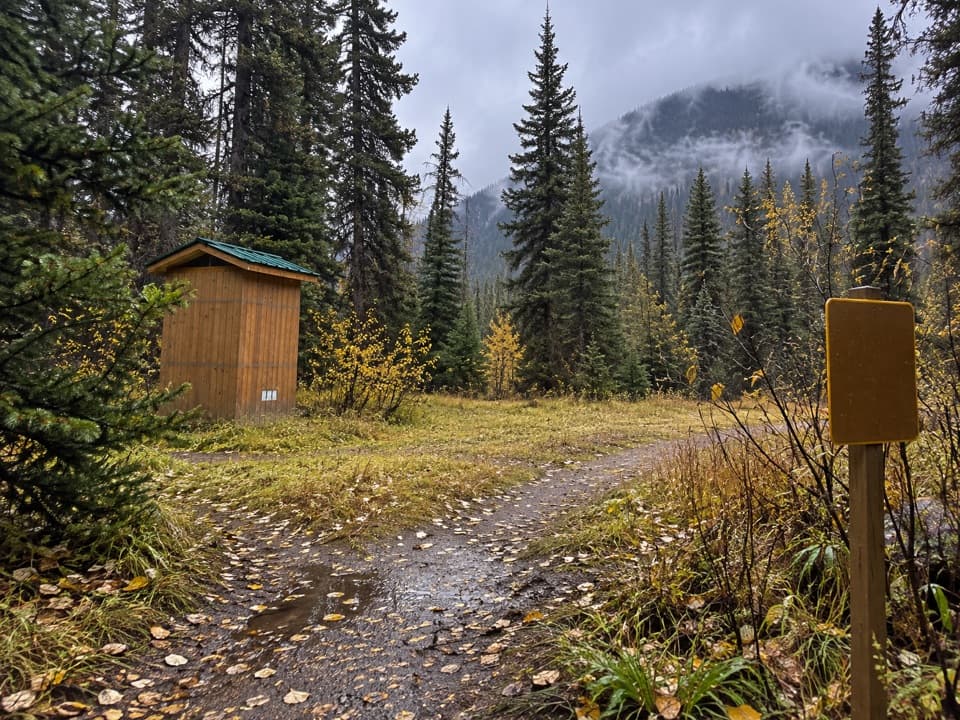 Campground · 6.3 km awayHelmet / Ochre Junction CampgroundA creekside backcountry camp at the Rockwall trail junction.
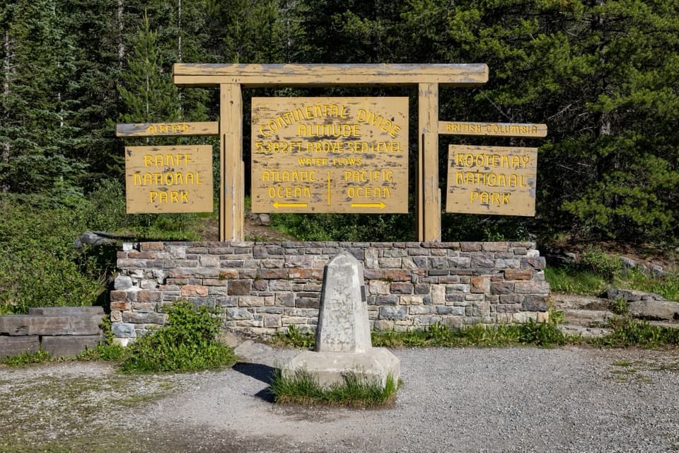 Sight · 6.9 km awayContinental DivideStand on the divide between the Pacific and Atlantic watersheds.
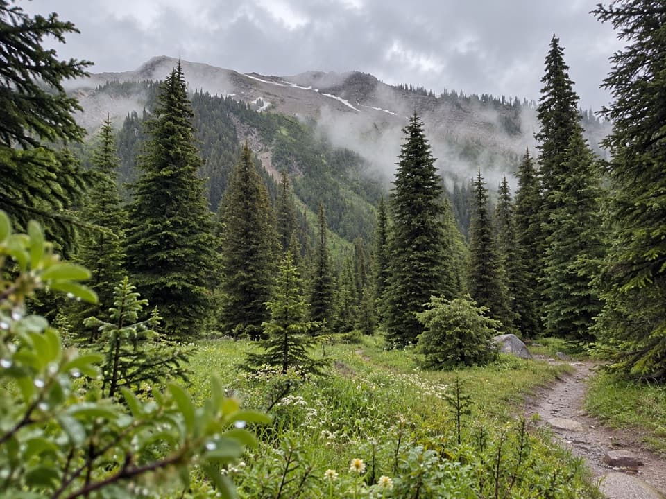 Campground · 9.4 km awayTumbling Creek CampgroundA useful northern camp for a full Rockwall backpacking traverse.
Parkwolf’s Kootenay ranking

The audio tour guide for the drive, plus offline maps, trails, and wildlife heatmaps for when the signal drops.