Blencathra in Lake District National Park

Sight · Lake District National Park

Blencathra

Two famous ridges lead to a broad summit with far-reaching views

Photo: Wikimedia Commons
Type
Sight
Nearest trail
2.2 km
Audio stories
2 nearby

Hear the audio tour

Blencathra: Choosing Your Ridge

Overview

About Blencathra

Why stop

  • Two memorable ridge approaches reward a full mountain day
  • Wide views across the northern Lakes and Eden Valley

Heads up

  • Sharp Edge brings real exposure and scrambling, especially when wet
  • Mist and wind can erase the views and transform the walk
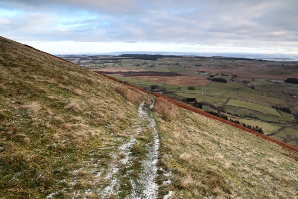
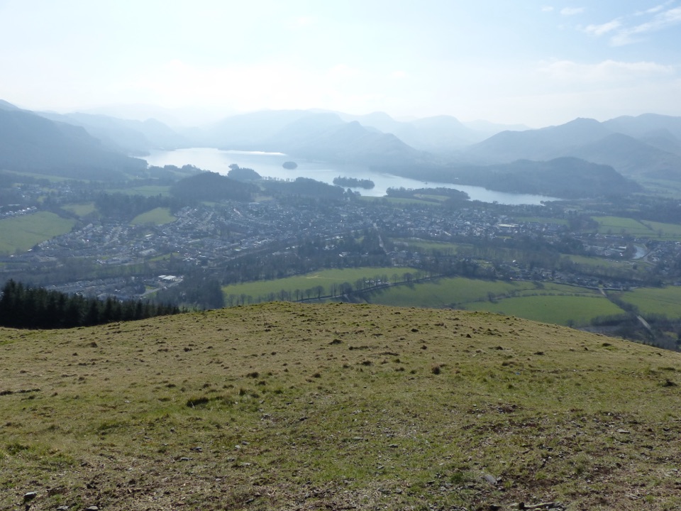
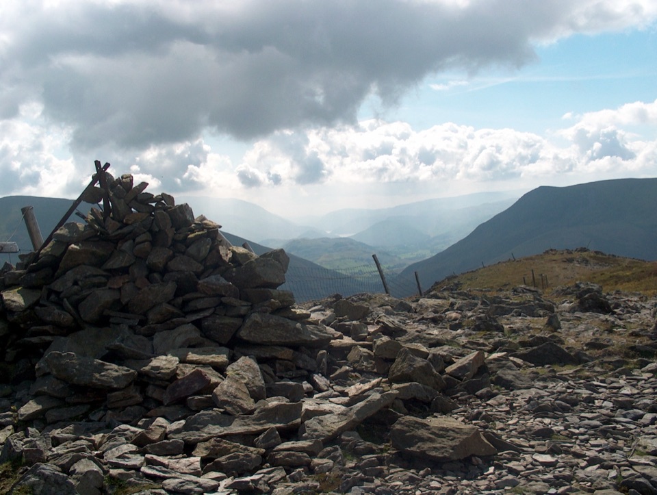
Blencathra, also known as Saddleback, is one of the northern Lake District's signature fells. At 868 metres, its broad summit gives the mountain a memorable profile and far-reaching views over the northern fells, the Greta valley, and the countryside beyond. It feels like a proper mountain day rather than a quick viewpoint stop.
Parkwolf’s verdictWhy stop

Map

Where it is

Loading the Lake District map
Full map
SightBlencathra54.63998, -3.04972
Keep this map with you offline in the Parkwolf app

Plan your stop

Before you go

8 active Lake District alerts

  • ClosureChapel Stile footpath closed for retaining-wall riskPart of Footpath 543030 between Chapel Stile and Baysbrown campsite is closed because a retaining wall beside the path could collapse and material it supports could fall across the footpath.Official details
  • ClosureStanley Ghyll Lower Falls footpath closed for rockfallThe section of Footpath 408037 leading towards Stanley Ghyll Lower Falls is closed because severe rockfall damage has made the path unstable and further rockfall remains a danger.Official details
See all 8 alerts
A park ranger sits on a dash-mounted phone, talking, as Parkwolf’s Tour Guide plays “Army Cutworm Moths: A Grizzly Bear Buffet” on Grand Loop Road below Dunraven Pass in Yellowstone
Parkwolf Tour GuideThe highest, rockiest slopes around here are a summer buffet for grizzly bears.

Lake District Tour Guide

Your drive to Blencathra, narrated.

Parkwolf is a GPS audio tour guide for Lake District National Park. As you drive, it chimes in with what’s ahead: hidden gems, upcoming stops, history, geology, and wildlife, right through your car’s speakers.

Recorded for this place

Blencathra: Choosing Your Ridge
0:00 / 1:14
“You're approaching Threlkeld, a starting point for Blencathra and its famous Sharp Edge ridge.”

Plays as you drive up to Blencathra in the Parkwolf Lake District Tour Guide.

More stories near here in the app

  • Song Thrushes: The Snail Anvil
  • The Railway Trail That Came Back
  • Mell Fells: Rivers Turned to Rock
  • Threlkeld: The Quarry’s Gravity Trick
  • 298 audio storiesacross Lake District’s roads, triggered by GPS as you drive
  • Wildlife heatmapsfor Red Deer, Eurasian Otter, Osprey, and 13 more
  • Works offlinemaps, 265 trails, 89 places, and audio download before you lose signal
  • CarPlay readysimple controls built for the drive
★★★★★
“Fantastic app with many points of information… It’s great to just turn on while you’re driving and it gives you an audio tour of the national Park. We love it!!!!”
JMJamesApp Store review
Download Parkwolf on the App StoreGet Parkwolf on Google Play

4.7 from 8,600+ ratings

Guide

More about Blencathra

Choose your routeThe classic outing starts at Scales and takes about 7.7 miles (12.

The classic outing starts at Scales and takes about 7.7 miles (12.4 km), 5 to 6 hours, and roughly 700 metres of ascent. The two famous ridges offer very different experiences:

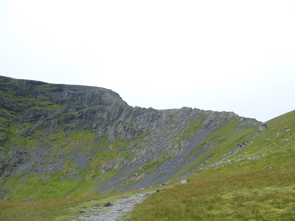
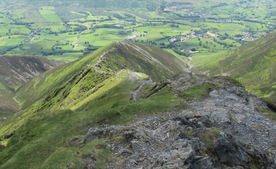
  • Sharp Edge is a narrow, exposed Grade 1 scramble with steep drops. It is exhilarating in dry, calm conditions and a poor choice for anyone who is uneasy with heights or scrambling.
  • Hall's Fell Ridge is longer and a little easier, but still steep and exposed in places. It leads directly toward the summit and remains a serious mountain route.
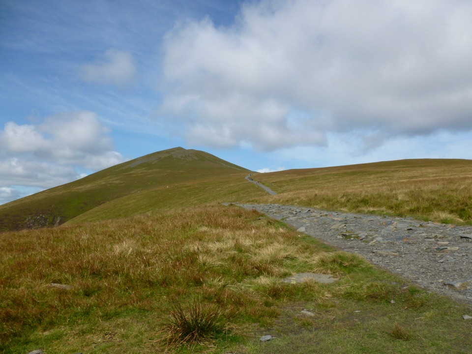
  • For a less technical day, use a grassy approach such as Blease Fell and leave both ridges for another outing. Carry a proper map because route descriptions can understate how rough and steep the ground feels.
Go preparedPick a dry, settled day and start early, especially on a fine weekend when the small trailhead…

Pick a dry, settled day and start early, especially on a fine weekend when the small trailhead parking areas around Scales are popular. Mist, rain, and wind can remove the views and make the rock much harder to handle; snow and ice turn the ridges into a mountaineering undertaking.

Bring waterproof and warm layers, food, water, and navigation equipment. Treat the summit as a remote fell with no dependable services, toilets, or refreshments on the mountain. Early or late light is especially good for showing the folds of the ridges and the classic saddle profile.

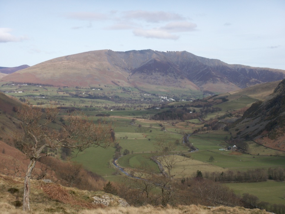
Why stopThe surrounding landscape is a useful reminder that the Lakes were shaped by ice and weather.

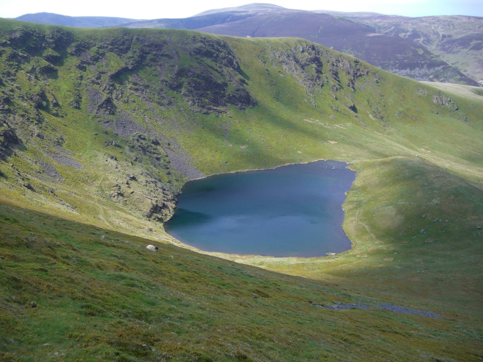
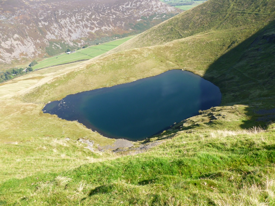
The surrounding landscape is a useful reminder that the Lakes were shaped by ice and weather. Steep slopes, ridges, glacial valleys, upland streams, and exposed rocks make the mountain as interesting underfoot as it is on the horizon.

Wildlife

Wildlife in Lake District

All Lake District wildlife maps

Sighting maps show where each species has been reported across Lake District. Wildlife moves, so no sighting is guaranteed.

Parkwolf’s Lake District ranking

Top sights in Lake District

All 89 places
  1. 1WindermereSight
  2. 2Scafell PikeSight
  3. 3UllswaterSight
  4. 4DerwentwaterSight
  5. 5Wast WaterSight
  6. 6Aira ForceSight

Take Parkwolf to Lake District.

The audio tour guide for the drive, plus offline maps, trails, and wildlife heatmaps for when the signal drops.

4.7 from 8,600+ ratings

Download Parkwolf on the App StoreGet Parkwolf on Google Play