Parking
Start at Threlkeld Car Park, just off the A66 near the village. The mapped line begins a few metres from the car park and uses lower public paths, lanes and tracks before reaching open fell.
#13 of 265 trails in Lake District
Lake District National Park, EN
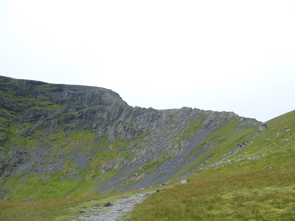
Knife-edge Grade 1 scrambling above a tarn, then a high ridge descent
Overview
This is a closed loop of 6.6 miles (10.6 km), starting and finishing at Threlkeld Car Park. That figure is the total distance for the whole circuit, not a one-way measure, so there is no return leg to add on. Expect roughly 2,500 feet (about 760 m) of ascent and a typical time of about 4.5 hours, plus extra for careful movement on the rock and for pauses on the ridge.
From the car park you pick up lower field paths and footpaths past farms and gills, then traverse below Scales Fell on a rising line into the coombe holding Scales Tarn. Above the tarn the ground steepens onto Sharp Edge, the arete leading to Foule Crag, then Atkinson Pike and the main top at Hallsfell Top (Blencathra). The return runs west along the summit ridge over Gategill Fell Top and Blease Fell, then drops on a long descending path back to the lower approach and Threlkeld. The climb is front-loaded and sustained, the top is broad and airy, and the descent is a steady giveaway of height rather than another sting.
 Parkwolf’s verdictThe sequence and the payoff
Map & elevation
Plan your hike

The highest, rockiest slopes around here are a summer buffet for grizzly bears.
Lake District Tour Guide
Parkwolf is a GPS audio tour guide for Lake District National Park. As you drive, it chimes in with what’s ahead: hidden gems, upcoming stops, history, geology, and wildlife, right through your car’s speakers.
Recorded for this trailhead
Blencathra: Choosing Your Ridge“You're approaching Threlkeld, a starting point for Blencathra and its famous Sharp Edge ridge.”
Plays as you drive up to this trailhead in the Parkwolf Lake District Tour Guide.
More stories near here in the app
“Fantastic app with many points of information… It’s great to just turn on while you’re driving and it gives you an audio tour of the national Park. We love it!!!!”


Trail guide
This is the defining section of the walk, and scrambling cannot be avoided on the ridge. It is a Grade 1 scramble on polished, angular rock with unprotected drops on both sides and a notorious short crux, the Bad Step, where you commit to smooth slabs above steep ground. Hands are needed, and confidence with heights matters more than fitness here. Dry, calm, clear conditions are far more forgiving; wet rock, wind, snow or ice raise the seriousness of this ground considerably. If that description makes you uneasy, choose a different day or a different hill rather than starting the arete and hoping.
We rate this hard, 8/10. It is a full steep mountain day on rough rock and steep grass, with loose, uneven footing rather than a smooth graded path. Above the tarn and along the tops you need genuine high-level route-finding: the summit plateau and ridge lines are broad, and the correct descent over Blease Fell is easy to lose in cloud. Carry a map and compass and know how to use them, and wear boots with real grip. The lower approach and return are easier going but still uneven underfoot.
Start and finish at Threlkeld Car Park, with a short access offset at the car park itself and some lower public paths, lanes and tracks linking the village to the fell. Dogs are legally allowed on the public route under normal countryside rules, but Sharp Edge is a poor choice for most dogs: the scramble includes moves and drops that dogs cannot safely negotiate or be lifted through. Keep dogs under close control throughout and on a lead near livestock. No trail-specific permit is needed.
The hazards here are real and concentrated: exposure, a committing crux, steep rough ground and long descents that punish tired legs and poor visibility. It is also a popular hill, so you will likely share the ridge in good weather. If the scramble is not appropriate for your group, your dog, or the day, a shorter Middle Fell-only walk nearby gives a good half-day on the fells with big views and none of the scrambling.
Editorial rating: 87/100, ranked 13 in the park.
Wildlife
 81 sightingsRed DeerMost seen around 7 PMSighting map
 13 sightingsEurasian OtterMost seen around 6 AMSighting map
 76 sightingsOspreyMost seen around 8 AMSighting map
 51 sightingsEuropean BadgerMost seen around 8 PMSighting map
 233 sightingsMute SwanMost seen around 6 PMSighting map
 176 sightingsGrey HeronMost seen around 7 AMSighting map
Sighting maps show where each species has been reported across Lake District. Wildlife moves, so no sighting is guaranteed.
Keep exploring
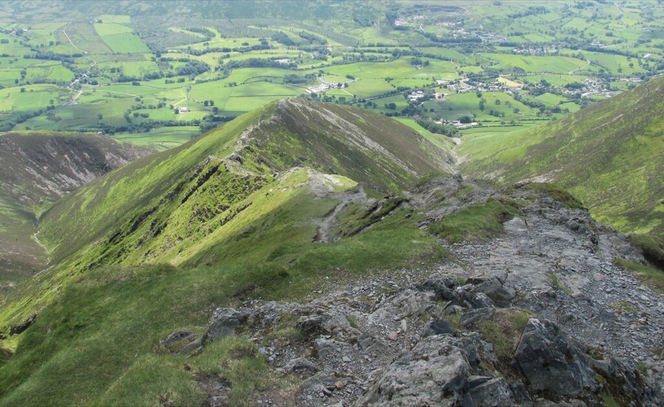 ChallengingBlencathra via Hall's Fell Ridge8.6 km · 4 hr · At the trailheadA rocky ridge scramble to Blencathra's best summit approach
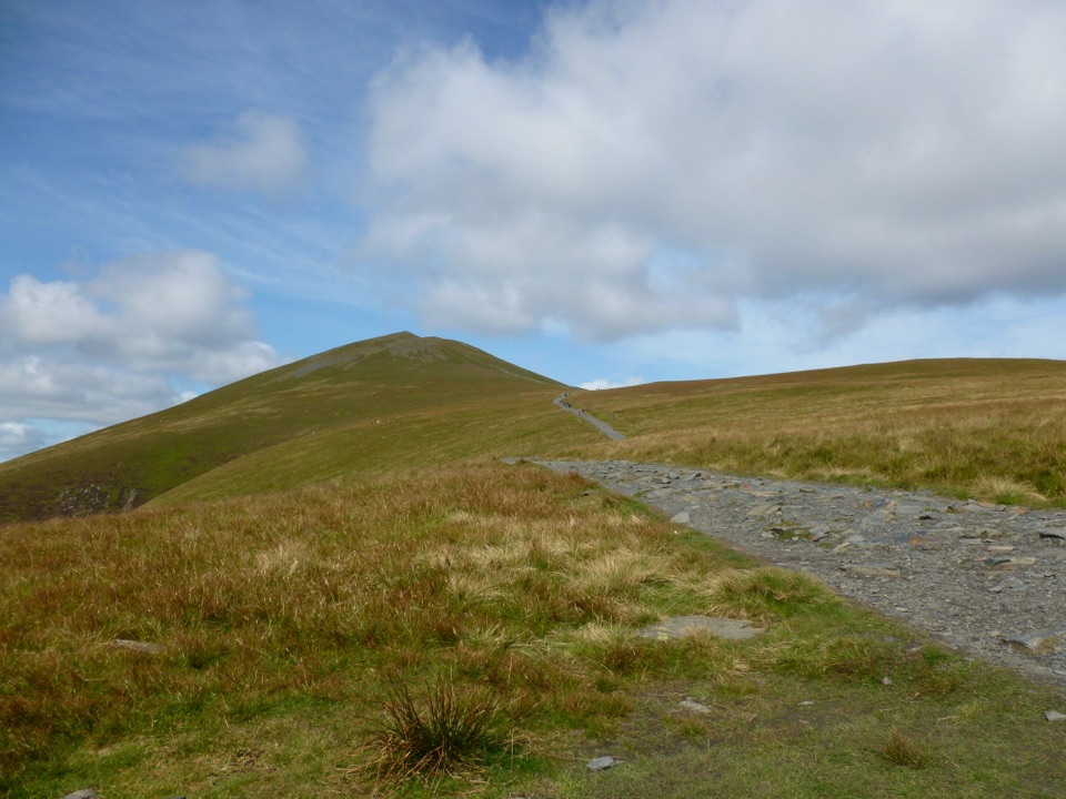 ChallengingSkiddaw via Jenkin Hill9.2 km · 5 hr · 3.6 km awayBroad bridleway climb to a stony 931 m summit above Derwent Water
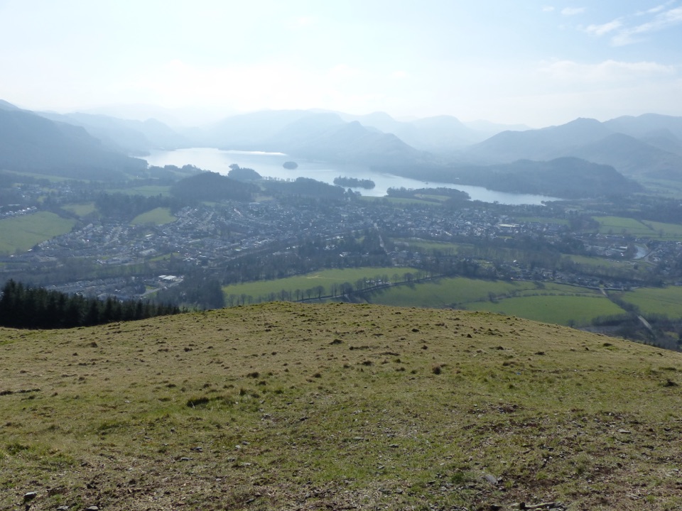 ModerateLatrigg2 km · 45 min · 3.7 km awayShort steep stone path to a bench above Derwentwater and Borrowdale
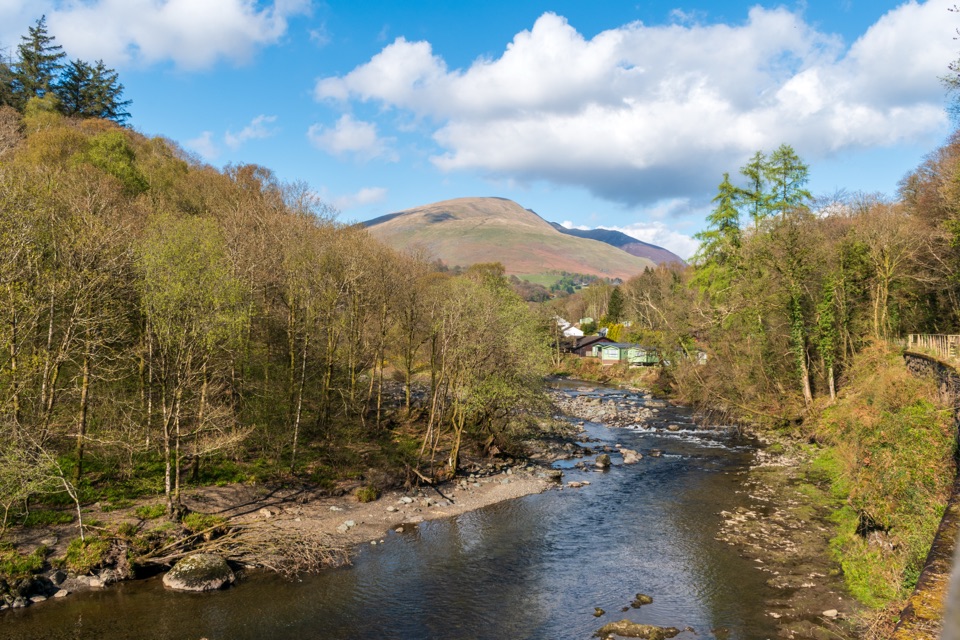 EasyKeswick to Threlkeld Railway Trail5 km · 2.5 hr · 5.1 km awayA gentle old railway line with bridges, river views, and Blencathra.
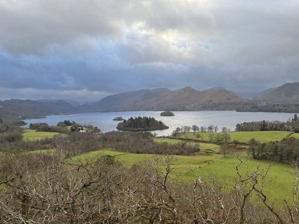 EasyCastle Head Viewpoint Walk4.2 km · 1.3 hr · 5.6 km awaySharp wooded climb to a topograph over Derwentwater, then Friars Crag
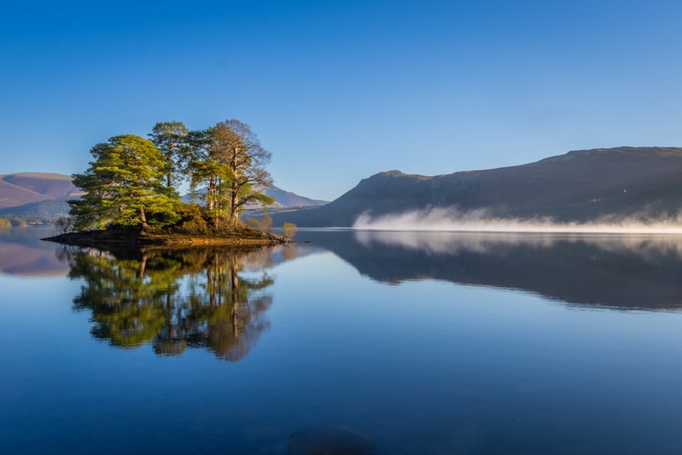 EasyHowrah’s Path, Keswick to Portinscale1.7 km · 1.5 hr · 5.9 km awayLevel riverside link between two villages, with Skiddaw and Catbells views
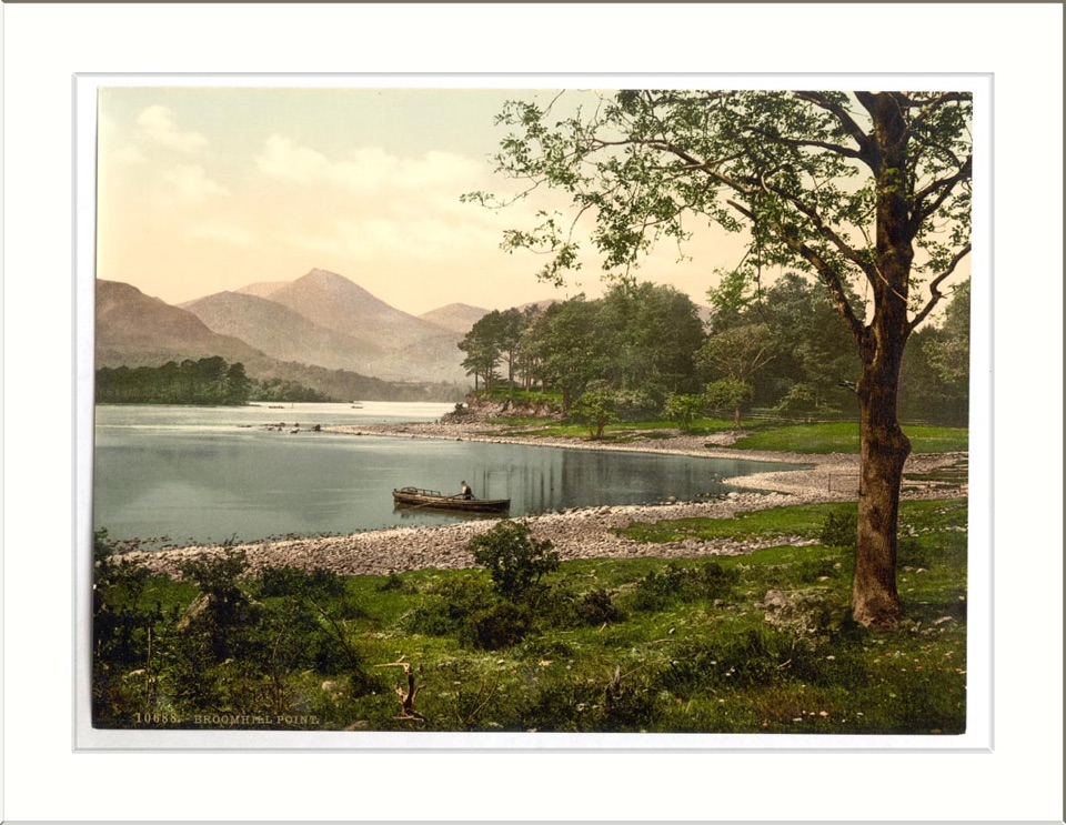 ModerateAccessible Walk to Broomhill Point Viewpoint4.4 km · 1.8 hr · 5.9 km awayDerwent Water views, boardwalks, and a rough final climb
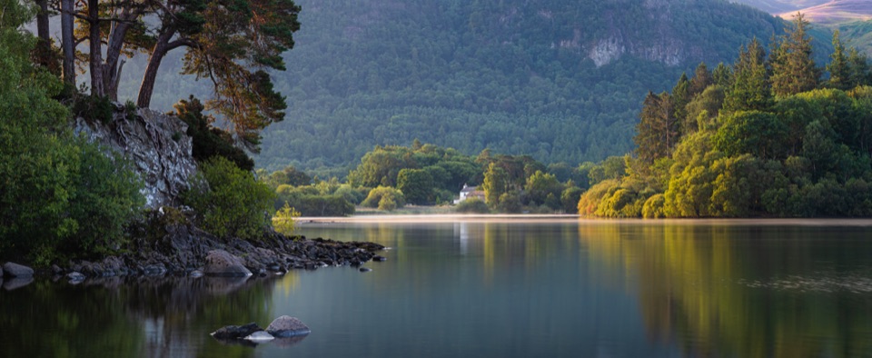 ModerateDerwent Water Circular16.1 km · 5.5 hr · 5.9 km awayTen flat lakeshore miles past jetties, oakwoods and island views
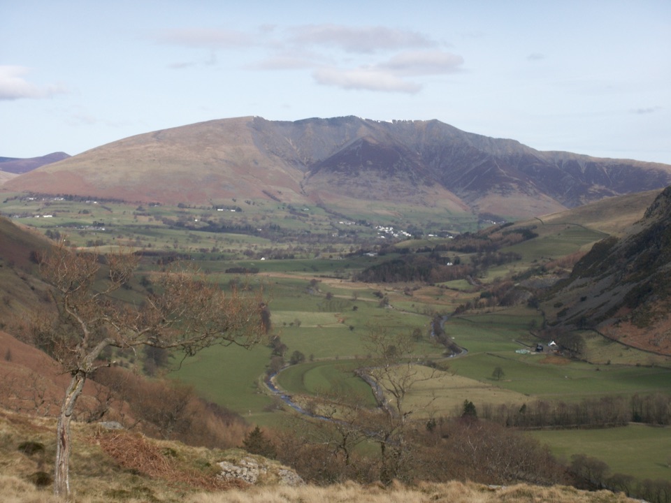 Sight · 2.2 km awayBlencathraTwo famous ridges lead to a broad summit with far-reaching views
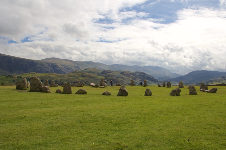 Sight · 3.3 km awayCastlerigg Stone CircleA 4,500-year-old stone ring with a grand mountain backdrop
 Sight · 5.6 km awayKeswickA lively market town framed by Derwentwater and mountain walks
 Sight · 6.4 km awayFriar's CragA level lakeside path to Keswick's classic Derwentwater view
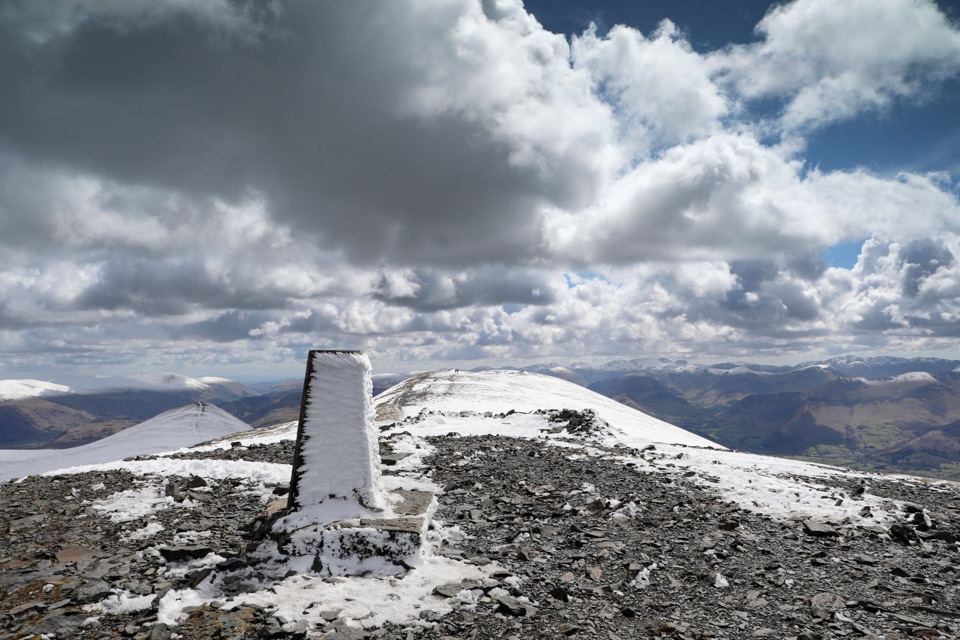 Sight · 6.8 km awaySkiddawA broad, windswept summit with huge views over the northern Lakes
 Sight · 7.4 km awayDerwentwaterA mountain lake with islands, wooded shores, and classic fell views
 Sight · 7.6 km awayAshness BridgeAn 18th-century packhorse bridge above a rushing Borrowdale beck
 Sight · 8.3 km awaySurprise ViewA cliff-edge panorama over Derwentwater, islands, and Borrowdale
Parkwolf’s Lake District ranking
The audio tour guide for the drive, plus offline maps, trails, and wildlife heatmaps for when the signal drops.





