Parking
Start at the free Gale Road (Latrigg) car park at the head of Gale Road. It has limited capacity and the approach is narrow. If it is full, do not block the lane or park on verges; use a legal alternative in the Keswick area.
#14 of 265 trails in Lake District
Lake District National Park, EN
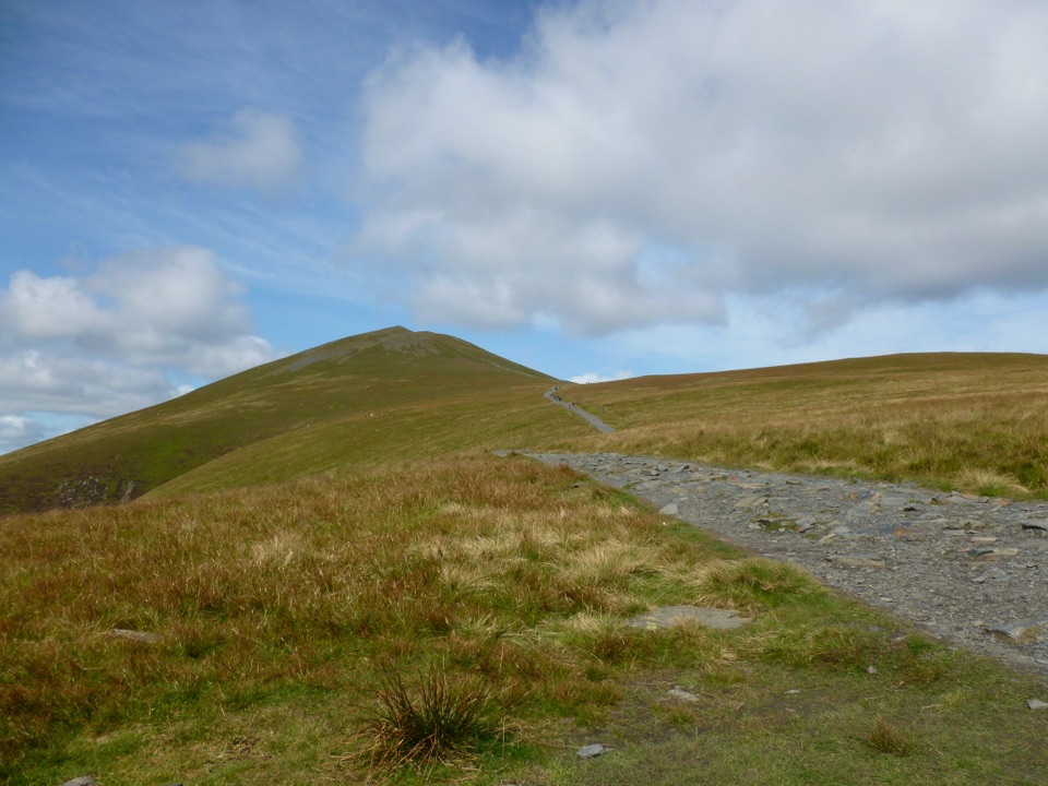
Broad bridleway climb to a stony 931 m summit above Derwent Water
Overview
This is an out-and-back from the small car park at the head of Gale Road, below Latrigg. The full round trip is 5.7 miles or 9.1 km, with about 606 m of ascent, and most walkers take 4 to 5.5 hours including stops. The mapped line measures 5.67 miles there and back. It is a strenuous high fell walk, but this variant needs no scrambling.
From the gate at the car park the route heads north on a broad public bridleway across the lower slopes and up Jenkin Hill, the steady work of the day. It passes the junctions near Lesser Man and Little Man without turning off, then follows the wide Skiddaw south ridge to the 931 m summit, where a trig point and low stone shelter walls mark the top. The reward is a long open outlook over Keswick and Derwent Water, across to Blencathra, and out over the northern and western fells. Return by the same path.
 Parkwolf’s verdictThe climb and the payoff
Map & elevation
Plan your hike

The highest, rockiest slopes around here are a summer buffet for grizzly bears.
Lake District Tour Guide
Parkwolf is a GPS audio tour guide for Lake District National Park. As you drive, it chimes in with what’s ahead: hidden gems, upcoming stops, history, geology, and wildlife, right through your car’s speakers.
Recorded for this trailhead
Skiddaw and Latrigg from Gale Road“You're nearing the access roads for Skiddaw and Latrigg, where the walks begin at the small car park at the head of Gale Road.”
Plays as you drive up to this trailhead in the Parkwolf Lake District Tour Guide.
More stories near here in the app
“Fantastic app with many points of information… It’s great to just turn on while you’re driving and it gives you an audio tour of the national Park. We love it!!!!”


Trail guide
In good conditions the path is broad and obvious, mixing gravel and stone with rougher fell surfaces. Above roughly 800 m the mountain is exposed and stony, and cloud, strong wind, wind chill, snow and poor visibility are all common. The summit ridge is wide enough to feel featureless in cloud, so carry a map and compass and be confident using them rather than relying on the line of the path alone.
Dogs are welcome on the route. Sheep graze the open fell, so keep dogs under close control at all times; on open access land the legal requirement is a lead no longer than 2 metres through the spring and early summer nesting season, and any local signs take precedence. The walk uses public rights of way and open access land, and there is no indication that a permit is needed.
Wildlife
 81 sightingsRed DeerMost seen around 7 PMSighting map
 13 sightingsEurasian OtterMost seen around 6 AMSighting map
 76 sightingsOspreyMost seen around 8 AMSighting map
 51 sightingsEuropean BadgerMost seen around 8 PMSighting map
 233 sightingsMute SwanMost seen around 6 PMSighting map
 176 sightingsGrey HeronMost seen around 7 AMSighting map
Sighting maps show where each species has been reported across Lake District. Wildlife moves, so no sighting is guaranteed.
Keep exploring
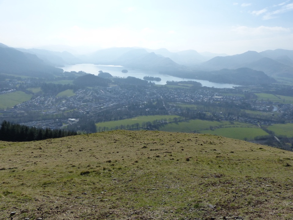 ModerateLatrigg2 km · 45 min · 0.4 km awayShort steep stone path to a bench above Derwentwater and Borrowdale
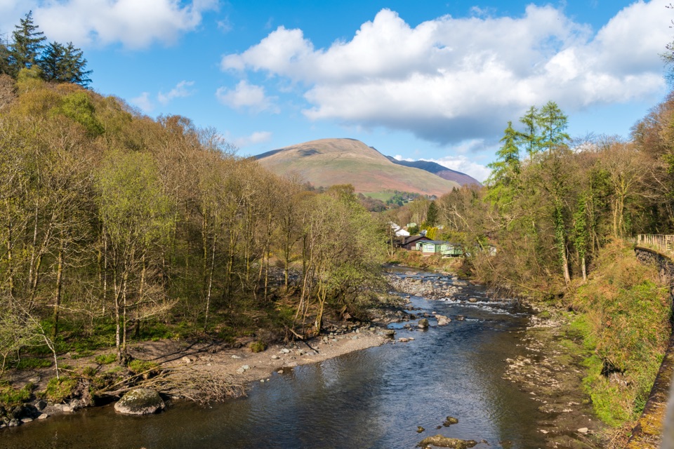 EasyKeswick to Threlkeld Railway Trail5 km · 2.5 hr · 2.2 km awayA gentle old railway line with bridges, river views, and Blencathra.
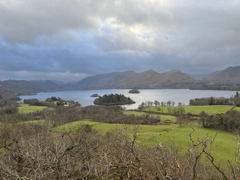 EasyCastle Head Viewpoint Walk4.2 km · 1.3 hr · 2.8 km awaySharp wooded climb to a topograph over Derwentwater, then Friars Crag
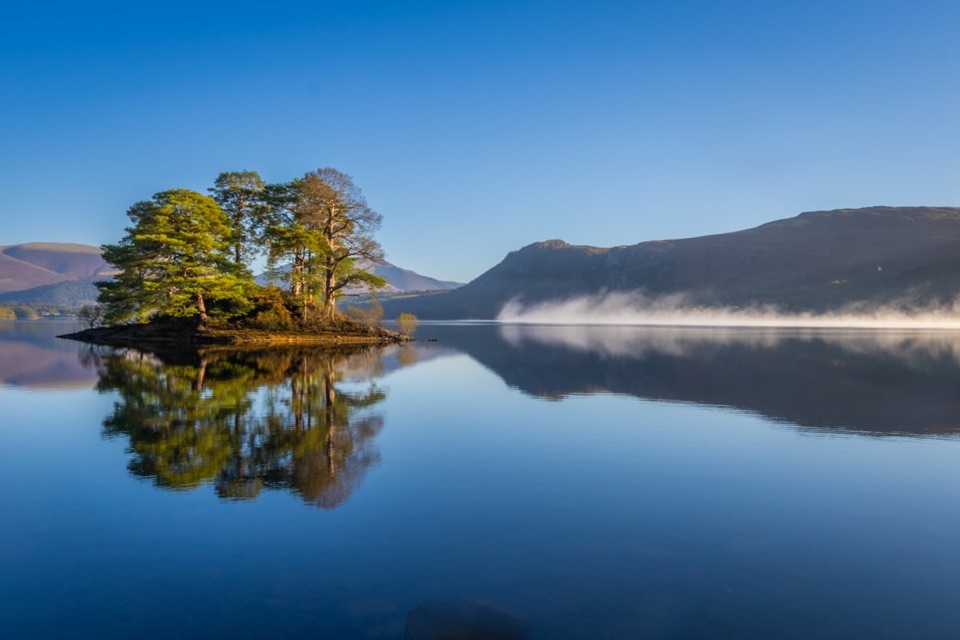 EasyHowrah’s Path, Keswick to Portinscale1.7 km · 1.5 hr · 2.9 km awayLevel riverside link between two villages, with Skiddaw and Catbells views
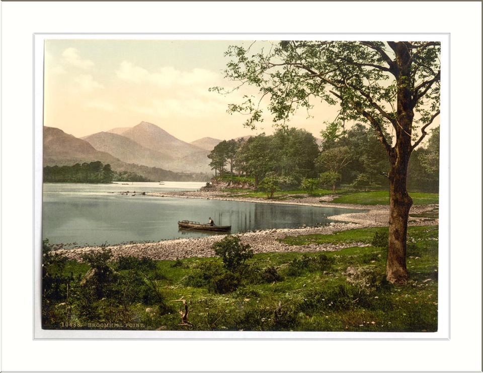 ModerateAccessible Walk to Broomhill Point Viewpoint4.4 km · 1.8 hr · 3.2 km awayDerwent Water views, boardwalks, and a rough final climb
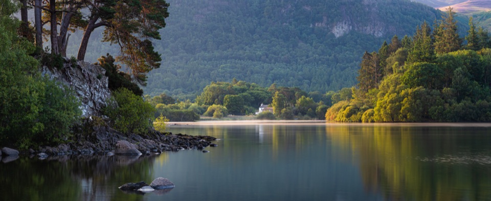 ModerateDerwent Water Circular16.1 km · 5.5 hr · 3.2 km awayTen flat lakeshore miles past jetties, oakwoods and island viewsEasyDerwent Water and Cockshot Wood Accessible Loop2 km · 38 min · 3.2 km awayStile-free lakeshore and woodland loop with Skiddaw and Cat Bells views
 EasyFriar's Crag1.2 km · 30 min · 3.3 km awayAn easy lakeside stroll to Keswick's signature Derwentwater outlook
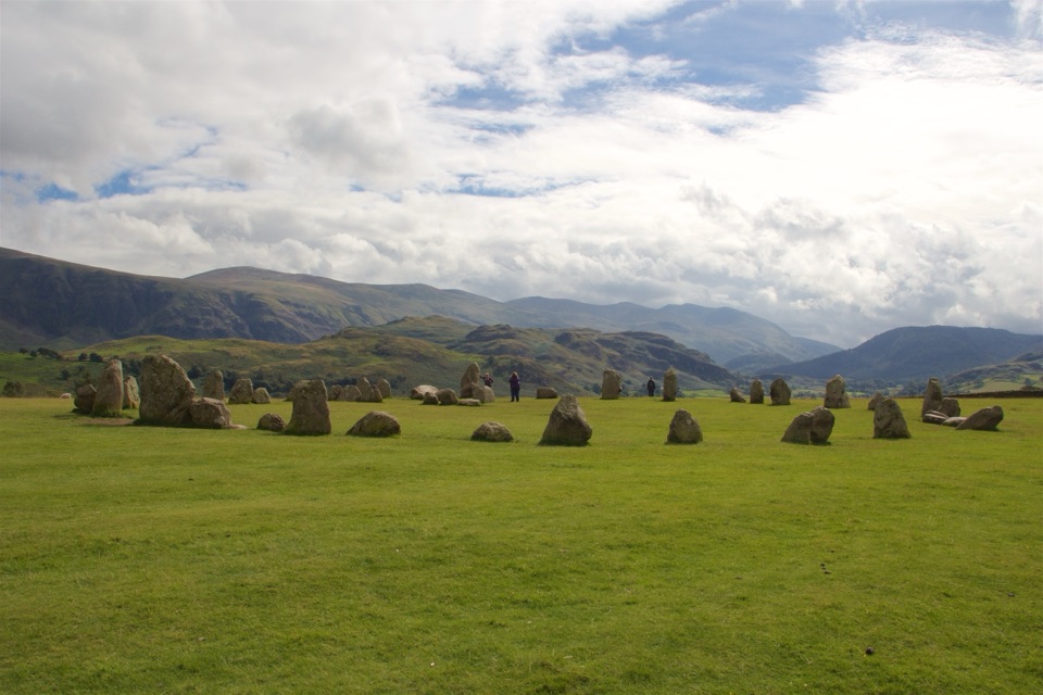 Sight · 2.2 km awayCastlerigg Stone CircleA 4,500-year-old stone ring with a grand mountain backdrop
 Sight · 2.8 km awayKeswickA lively market town framed by Derwentwater and mountain walksSight · 3.9 km awayFriar's CragA level lakeside path to Keswick's classic Derwentwater view
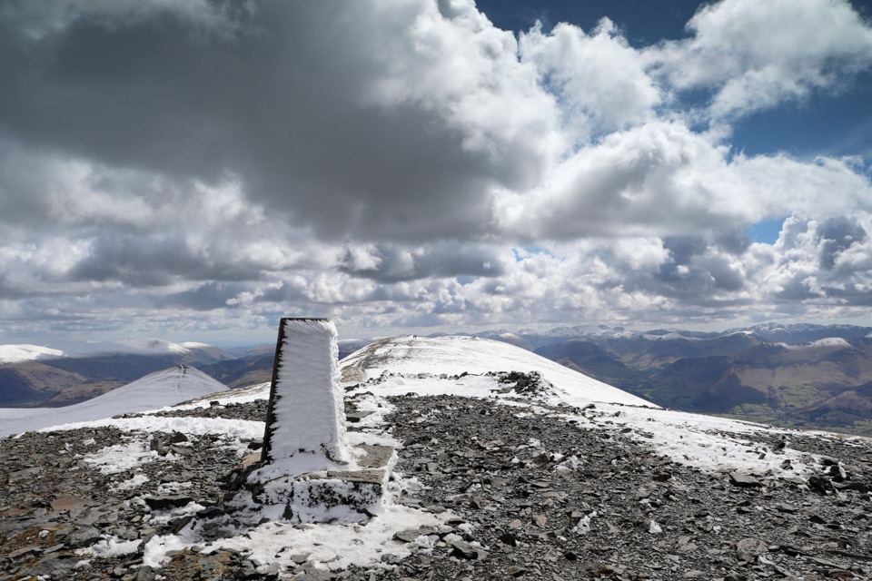 Sight · 4 km awaySkiddawA broad, windswept summit with huge views over the northern Lakes
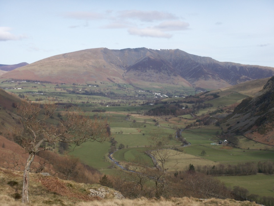 Sight · 4.6 km awayBlencathraTwo famous ridges lead to a broad summit with far-reaching views
 Sight · 5.2 km awayDerwentwaterA mountain lake with islands, wooded shores, and classic fell views
 Sight · 6.1 km awayAshness BridgeAn 18th-century packhorse bridge above a rushing Borrowdale beck
 Sight · 6.8 km awaySurprise ViewA cliff-edge panorama over Derwentwater, islands, and Borrowdale
Parkwolf’s Lake District ranking
The audio tour guide for the drive, plus offline maps, trails, and wildlife heatmaps for when the signal drops.





